Bernardo Summit Rewards: 360 degree views of Lake Hodges and beyond

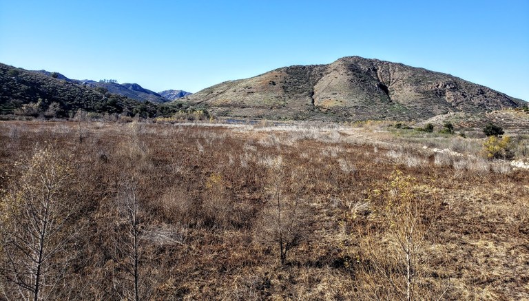
A popular spot for mountain bikers and hikers, the San Dieguito River Park in Escondido is squeezed between the I15 freeway and a couple housing developments. It’s not wilderness, but it still makes for a decent, suburban excursion and nature fix.

bernardo summit

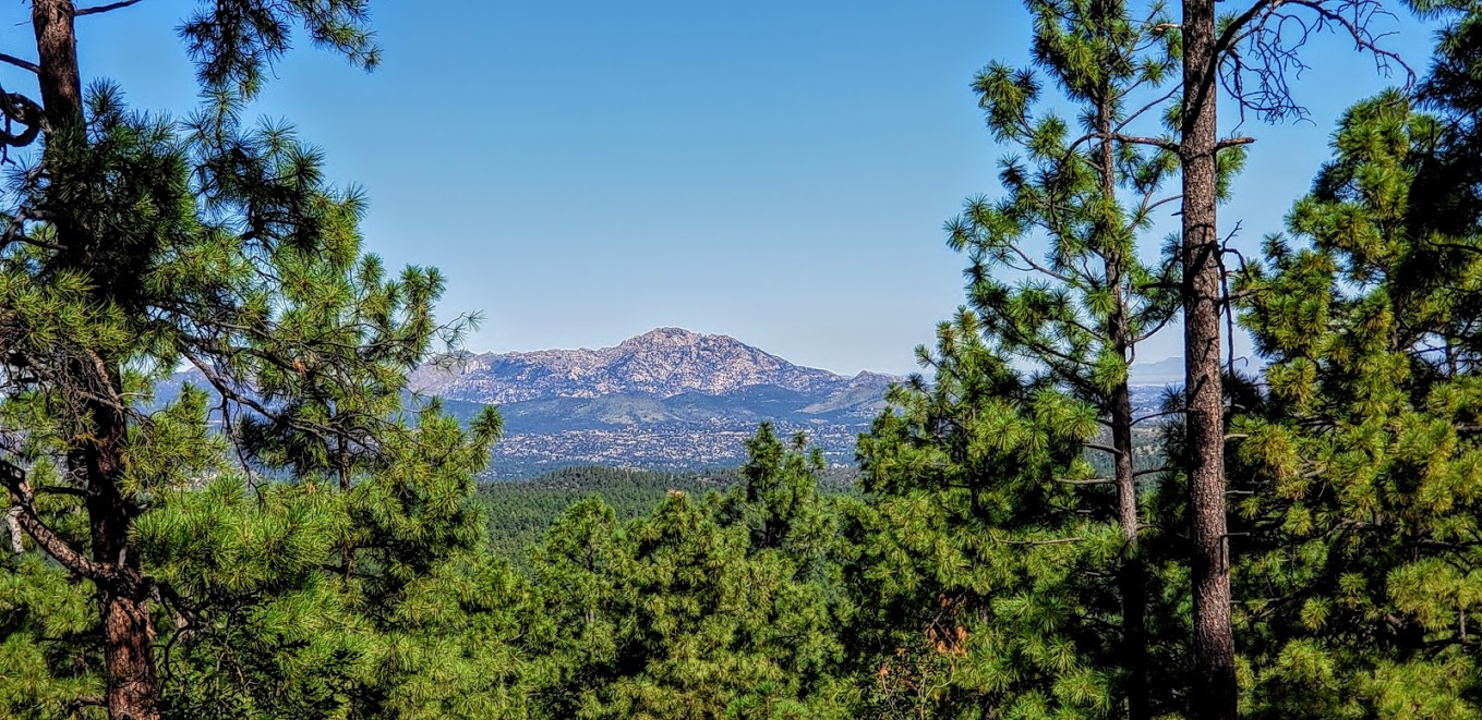
As I mentioned in my Cruising Lake Hodges post, the main mountain bike route on the Coast-to-Crest Trail is beginner friendly. The Bernardo Summit trail is not—it’s rated difficult due to loose rocks and steep technical sections. In other words, it’s way out of my mountain bike skill league so I left it undone on my last visit, vowing to come back and hike it. Note don’t let the words summit and mountain deter you. We’re only talking about a ~1k ft in elevation gain here.  But that elevation is enough to deliver views that do not disappoint.

If you’re like me and want to bypass some concrete “hiking” and walking under the freeway, you may want to start your hike at the bicycle/pedestrian bridge (the world’s longest stressed ribbon bridge) which crosses the variably wet/dry section of Lake Hodges. After traversing the bridge, take the trail to the left heading towards the Lake. Before long, you’ll hopscotch on a couple rocks across Felicita Creek, a small perennial brook, and round the bend from there. Look for the summit trail splitting off to the right (the sign for it is facing the other direction). It’s a gradual, steady climb – mild to moderate and absolutely runnable – you just need to watch your footing on the loose rock sections. (I find it easier, more fun and less painful to run up vs. down.)

pleasant section of single track b summit

At the last and steepest section, you’ll encounter a fenced-in water tank – not very pretty, but don’t be discouraged. last climbYour final ascent will be rewarded.

I highly recommend this hike for the best views in the park and a good workout. If you’re not up for incline, you can keep going straight along the North Shore trail to Del Dios Community Park and eventually, past the Lake Hodges Dam. Note it’s an out and back.


Hiking difficulty: Mild to moderate+ depending on your fitness level

Elevation change: ~1,000 ft

Distance: ~6.2-7.2 miles roundtrip, depending on where you start

Mountain bikes and leashed dogs allowed

Free entry


Hiking trail #307: Outlook excellent on Spruce Mountain, Prescott, AZ

If you hike around Prescott, you’ll notice that they name and number their trails, which is nice. The only problem you may encounter is when a local gives you a hiking tip by the number only and happens to be off a digit or two. Could be the Prescott way of telling you to “Go take a hike.”

Anyway, I found the high-country trail that leads up Spruce Mountain, which isn’t hard to find if you know the trail’s name and number. It’s the Groom Creek Loop Trail #307. Some (Prescott National Forest Service peeps) say that it’s “one of the most attractive trails in the Prescott National Forest. Despite the misleading moniker, there are no Spruce trees on the trail to Spruce Mountain, but that’s okay—it’s a lovely shady trek through Ponderosa pine, Gambel oak and Douglass fir. I chose the trail to the left as it was a hot day and this side of the loop is pleasantly shaded. On a cooler day, I’d go for the loop. Perhaps start with the opposite, more exposed side (on the right) and come down the shady side as it gets later in the day.

trail to spruce mountain

The trail begins with a gradual climb and easy terrain, ramping up to a steady climb with rockier and rootier terrain near the top. You definitely have an opportunity to get your heart rate up if you’re so inclined (pun intended). The trail is runnable—the deer I startled on the way up concurs.

wildflowers spruce mt trail
Views from the Spruce Mt Trail

On top, you’ll find a picnic area with an outhouse and a fire lookout tower. If the lookout-in residence is accepting visitors, you might just be lucky enough to soak in the panoramic views of Prescott’s lakes and forest from the tower’s vantage point as I did.

Spruce mt lookout tower
L in Spruce MTN outlook tower

Distance: ~6.5 miles, if you do the loop it’s ~8 miles

spruce mt

Elevation gain/ loss: ~1,400 ft (starting elevation is about 6300 feet and the top is 7693 ft)

Getting there: ~15 min drive from Prescott, AZ: Take Mt. Vernon Avenue south for 6.4 miles. It becomes Senator Highway and passes through the small community of Groom Creek. Look for the trailhead on the left side of the road.

Notes: Free parking. MT Bikes & Dogs allowed.

Stay tuned for my top picks of places to stay and eat and for more of my active escapades in and around Prescott.

Hiking:

Constellation Trails

Granite Basin

Panorama & Petroglyph Trails

Spruce Mountain

Mountain Biking

Prescott Valley to Prescott via the Iron King & Peavine Trails

Goldwater Lake

Restaurants: 

The Barley Hound Gastropub

Farm Provisions

Granite Basin Recreational Area, Prescott, AZ

Just a stones throw from downtown Prescott (an easy 6 mile drive), Granite Basin is a gorgeous section of the Prescott National Forest. Here, you can choose from more than a half dozen hikes.


Normally, I’d opt for the higher ground and head up Little Granite Mountain, but the day I visited was a scorcher. I chose an easy out and back on one of the lower creek-side trails, hoping that the ponderosa pines would shelter me from the blazing sun. Even with the shade, it was still HOT, too hot for hiking.  And since I’d already beat myself up on the mountain bike at Goldwater Lake that morning, my mojo was a bit sapped too.

Granite Basin is home to a wide variety of wildlife, including snakes, lizards, coyotes, foxes, mountain lions. I didn’t see any of these critters most likely because they were all in siesta mode as I probably should have been too. Thinking back on it, a hammock under a shady tree by the lake with a refreshing beverage would have been made for an idyllic afternoon.

It was a pleasant hike, but not particularly scenic per se, except for the start and finish at stunning Granite Basin Lake. And I must say, it’s a bit tortuous on a hot day to look at a beautiful lake and be prohibited from jumping in it. Guess that’s mostly the case in Arizonia…Bummer, I guess you can’t have everything.  I did spend some time on this hike day dreaming or hallucinating (not sure which) about my Eastern Sierra’s splash in Valentine Lake.

I’d like to come back to this area sometime when it’s cooler to explore some more and take in the views from Little Granite Mountain. And next time, maybe I’ll bring a hammock for that post-hike siesta too.

Granite Basin Sign

More info: Granite Basin Recreational Area, Prescott National Forest

Fee: $5 day use (Wednesdays are free.)

Use: Hiker, mountain bikers, horseback riders

Amenities: Restrooms & picnic tables

Granite Basin Campground: Yavapai Campground

Stay tuned for my top picks of places to stay and eat and for more of my active escapades in and around Prescott.

Hiking : Thumb Butte

Mountain Biking: Prescott Valley to Prescott via the Iron King & Peavine Trails

Goldwater Lake

Kicking up my heels in the historic district of Prescott, AZ and beyond

In case you were wondering what downtown historic Prescott, Arizona is like—it’s charming, clean, friendly and fun. Lots of historic buildings, galleries, shops, restaurants, hotels and old time saloons. I’m sure glad my road trip took me here. I had a blast exploring the area—hiking and mountain biking in the nearby Prescott National Forest by day and kicking up my heels on the saloon dance floors by night. As a solo woman traveler, I felt completely safe my entire trip. (Though it appears some don’t—lol. The concealed carry handbag in the picture below was featured in one of the store windows.)concealed carry handbag

This slideshow requires JavaScript.


Nightlife – yes! Live Music – yes! Dancing – yes!

band w L prescott2
Ready for my night out on the town in the lobby of the historic Hotel St Michael, Prescott


Stay tuned for my top picks of places to stay and eat and for more of my active escapades in and around Prescott.

Hiking : Thumb Butte

Granite Basin

Mountain Biking: Prescott Valley to Prescott via the Iron King & Peavine Trails

Goldwater Lake

Restaurants: The Barley Hound Gastropub

Farm Provisions

From Prescott Valley To Prescott: Mountain Biking the Iron King and Peavine Trails

Years ago, the Prescott East Railroad trains ran through here to the Iron King Mine and towns of Poland Junction and Crown King. Today, you can take in the area’s quintessential southwestern scenery and spectacular granite rock formations by  horseback, two (or 3) wheels, or by two feet. It’s ~4 miles down to the Peavine Trail connection and then you can continue on for another ~6 miles to arrive at Watson Lake, Prescott (~20 miles RT).

The Iron King  path is by far one of the easiest, smoothest, most family-friendly mountain bike “trails” I’ve ever encountered. Apparently they went to great lengths to convert this rail to trail and create its excellent surface. First they undercut and evened out the trail to eliminate the “washboard” effect and then they topped it with a blend of coarse and fine gravel. The path is so smooth and flat that a kid on training wheels or a tricycle could ride it. You could take a wheelchair on it (electric or person powered – if you were up for it) too. It all translates to fun times and cool scenery for all.

For me, the most scenic sections of the ride are in the middle where the Iron King and Peavine trails intersect and along the gorgeous Granite Dells and Watson Lake at the Prescott end.


This slideshow requires JavaScript.

Check out the video below of a hiking trail in the Granite Dells.


Keep an eye out for resident javalina, rattlesnakes, and mountain lions. I didn’t see any of them and only saw 2 other cyclists during my sunset pleasure tour. (Not sure if the hot weather (90+ degrees) – was keeping people away or what. I expect when the housing development in Prescott Valley completes, this will get much heavier use so enjoy some solitude while you can.

encroachment.jpg

Getting there: The Iron King Trail begins in Prescottt  Valley west of Glassford Hill Road, north of Spouse Drive – at the base of Glassford Hill. Unfortunately, that’s also where a new housing development is going in so the first mile or so is a bit of a bummer. Truth in advertising picture below. (Heavy sigh.). The Peavine Trail begins at the south end of Watson Lake in Prescott. Take Hwy 89 to Prescott Lakes Parkway, then to Sundog Ranch where you can park along the road .

Stay tuned for my top picks of places to stay and eat and for more of my active escapades in and around Prescott.

Hiking: Thumb Butte 

Granite Basin

Mountain Biking: Prescott Valley to Prescott via the Iron King & Peavine Trails

Restaurants: Farm Provisions

Barley Hound Gastropub