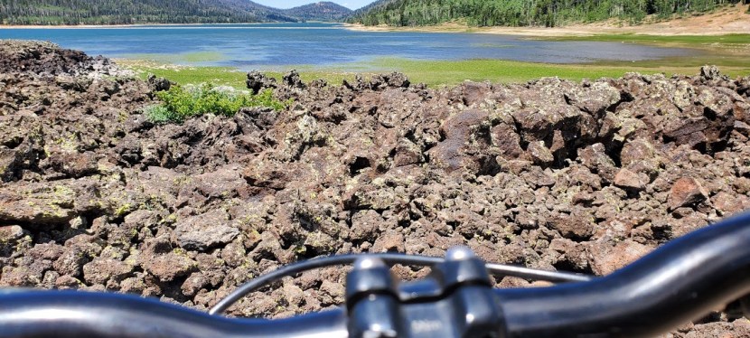
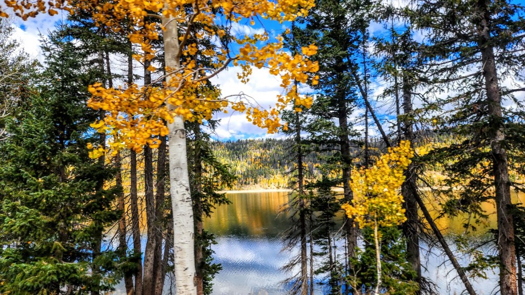
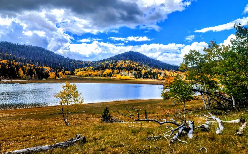
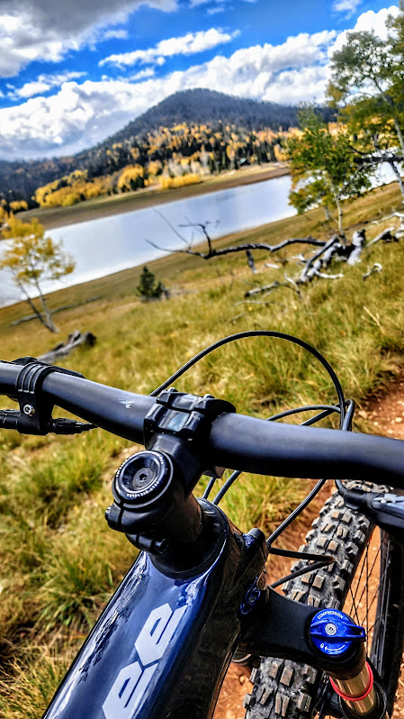
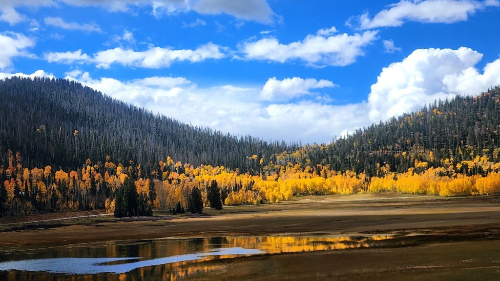
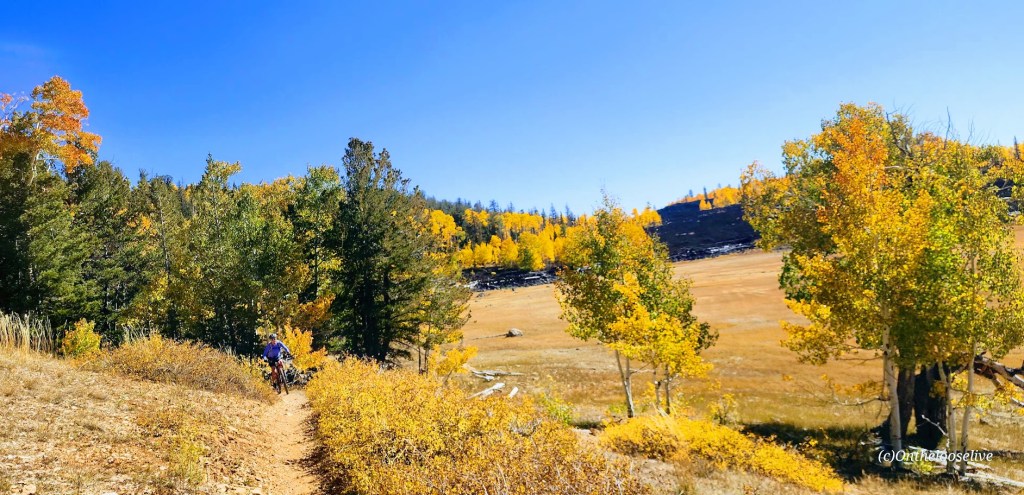
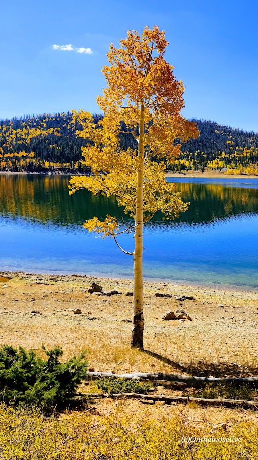
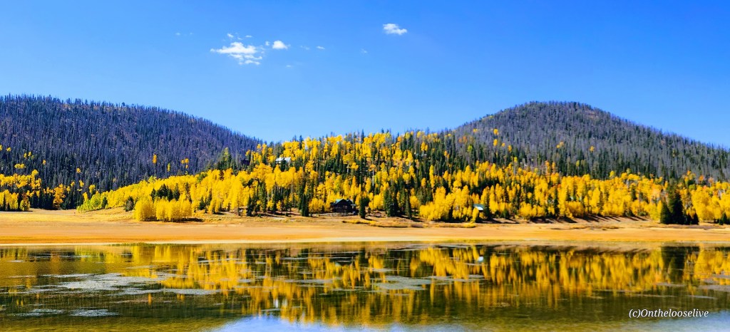
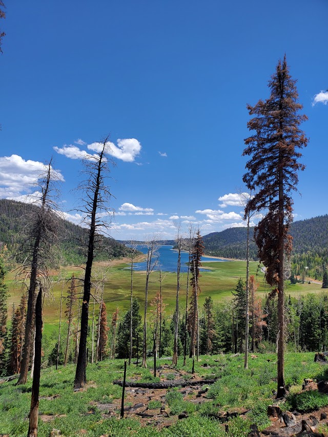
I don’t tend to throw the word epic around much, though I have been on some epic mountain bike rides – Tahoe’s Flume Trail, Lake Crescent’s Spruce Railroad Trail, and while not epic per se, that little gem, Diamond Valley Lake was quite lovely too. Fond memories of those rides were stirred up by my ride today on the Navajo Lake Trail. As you can see, Navajo Lake and the surrounding area are dazzling in the Fall. It’s quite sweet in the Summer too, a great spot to escape the heat of St. George as it’s usually at least 10 degrees cooler.
It’s a sweet, highly scenic, nontechnical single-track cruise via the Navajo Lake Loop Trail and the Virgin River Rim Trail, aka the other half of the Navajo Lake Loop Trail. Great for mountain biking, trail running, or hiking.
Interesting fact: The lake was created when a lava flow dammed the eastern end of the valley.
Distance:11 Miles
Staring elevation: 9,035′
Elevation gain: 827 ft
Navajo Lake Summer vibes – View from the Rim Trail section
Winter vibes—taken from a hill above Deer Valley cross country and snowshoe area.
Getting there: From Cedar City go east on Scenic Byway SR 14, 25 miles to the Navajo Lake road turnoff and keep your eyes open for the Navajo Lake Loop Trailhead parking sign on the right side of the road. It’s free to park.
Ps. There are campgrounds, and fishing, boating, and swimming are allowed.
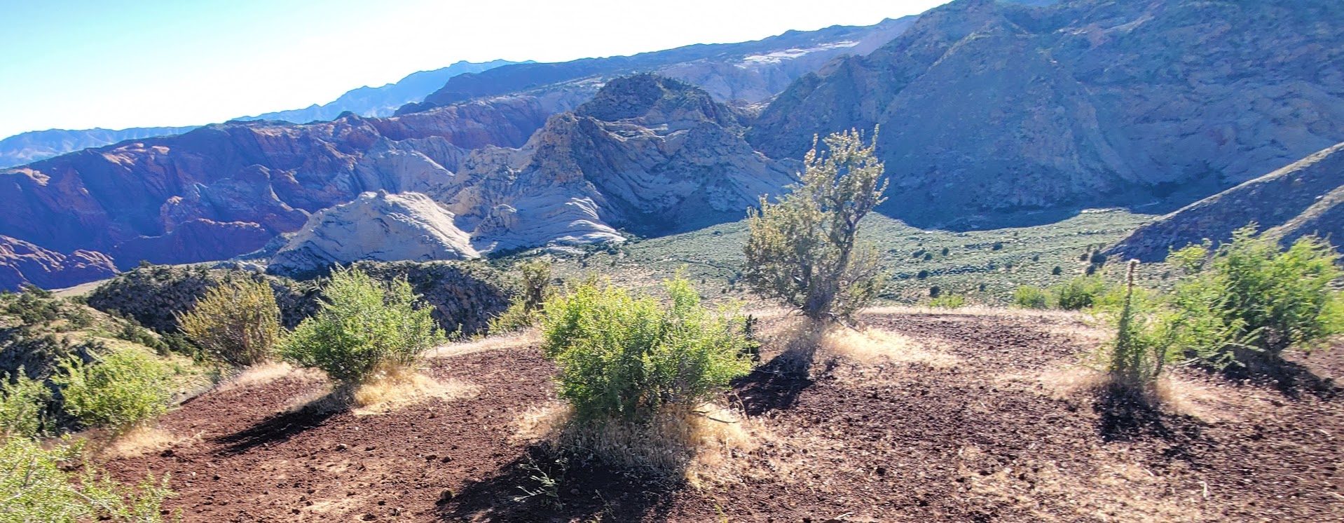
Highlights: Spectacular red rock and Santa Clara River gorge views with the bonus of petroglyphs and ancient ruins.
Getting there: The trailhead is just off old US highway 91, near gorgeous Ivin’s reservoir so you can take a dip after your hike. Just look for the Anasazi Trail sign.
Difficulty: Easy, it’s a gradual incline and a short hike that’s suitable for the whole family. Terrain is mostly easy footing, but entirely exposed so plan accordingly and bring plenty of water, a hat, and sunblock.
The main trail takes you by 1,000 year old remnants of an ancient Indian farmstead, through the petroglyphs, and up along the rim of the Santa Clara River gorge.
This slideshow requires JavaScript.
Length: The main trail is a 2.9 mile loop, but there are many more spur trails to explore that traverse the ridge and valleys.
Free entry. Mountain bikes and leashed dogs allowed.
Yes, it’s right off highway 18 at Diamond Valley and super short—so yeah, those are the top 2 reasons not to go. But if you don’t, you’ll miss out big time as we often do when we fail to take those little spontaneous stops that beckon us from near and far. And sometimes, it’s those off the freeway and /or off the beaten track stops that yield the biggest rewards. Remembering my Kooteney Falls stop a couple years ago.
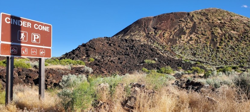
This hike is definitely short – a mere 1.7 miles, but as the spoiler alert headline says it’s LONG on panoramic views. Apologies for the fast spin, I was too excited!
Due to loose lava rock near the top, I’d suggest hardy, grippy shoes . It’s starts out flat, takes you around the back on a mostly dirt trail and then starts climbing at the .60 mile point. Yes, you can make a scramble straight up &/or down, but you’ll likely leave some DNA on the lava rocks. And by nature of the scramble, leave another indented trail on the cone.
I’m not one to throw the word epic around. (Disclaimer: I guess I’m guilty of overuse when it comes to mountain bike ride descriptions: Tahoe’s Flume Trail for 1.) In any case, I don’t claim to be a “life coach”, but I know 1 thing —life is short and unpredictable.
My Dad had a debilitating stroke on the first night of the Hawaii vacation that my brother and I treated him too. He’d never really treated himself to anything in his entire life. And after the stroke and the paralysis he suffered, his ability to enjoy life or even take care of the most basic daily activities was severely diminished. If you’re waiting for something to happen until you do what you really want to do, let me suggest that you stop waiting and take the steps you need to take toward making it happen. Today.
Of course, I’ve procrastinated on following any number of my dreams too. But ever since Dad’s stroke and his subsequent death, my bike accidents, misc surgeries, etc. etc. (pile on effect), I’ve been determined to align my life and actions with my values. And that includes living somewhere where I’m closer to nature and able to live the outdoor, active lifestyle that I treasure. Sure, I’ve been fortunate to live a good part of my life in a place that many people consider dreamy – -Southern California. And I’d never taken its beauty and the many wonderful adventures I’ve had here for granted, but I’m ready for open horizons and roads—free from the excessive congestion that surrounds this place.
The adventures I’ve had these past few years have have all been part of my quest to find my new home. I’ve road-tripped through Montana, Idaho, and Washington and found some delightful spots and top contenders, including Sandpoint ID, Port Angles WA, but none checked all my virtual boxes. Until St. George, UT. If you’ve been following my posts, it was a bit of a whirlwind romance. A year ago I visited, came back for seconds, and then I committed.
Yes, I’ve definitely had some second thoughts, self-doubt, and fleeting panic attacks, but I come back to that cliched question – “If not now, when?” It’s a bizarre and unsettling time to be making a a major life transition, but I’m doing it. Last week, I moved about 60% of my stuff there and was fortunate to enjoy a couple mountain bike rides while I was there.
This 28 mile loop ride near Gunlock State Park was simply epic. See for yourself. It will likely be one of my top local rides.
I am happiest when I am immersed in nature’s beauty and being vigorously active. This is part of what living an epic life means to me. What does it mean to you and are you living it? If not, why not?
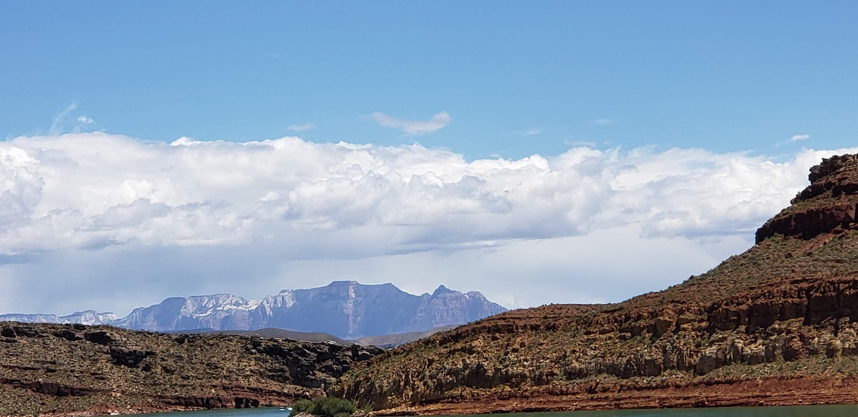
For those of you who might be wondering, here’s a sample of what biking (road biking and mountain biking) looks like around St. George, Utah. As you can see, the views for much of this 60-mile ride were splendid, quintessential Utah—Virgin River, canyons, red rock, and snow-capped mountains. Road quality varied. (Utah drivers were not quite as courteous as I’d hoped. Lots of trucks sped by us without moving to the left or braking.)
Roadside Red Rock off the 7Virgin River Views From River Rock Roasting CompanyVirgin River Views From River Rock Roasting CompanyRiver Rock Roasting Company: Definitely the Best Coffee / Gastropub and Views Around!
Not bad, eh?
Toquerville /La Verkin Road Bike Loop ~60 Miles, ~2500 feet of climbing
A friend of mine, now a St. George local, guided us on this 60-mile road bike sampler with ~2500 feet of climbing on surrounding highways and byways. We took the lovely, low traffic 7 to Sand Hollow Road (rough surface) by Sand Hollow Reservoir (Half-Ironman site) across to State Street / 9. (The 9 is a main thoroughfare with heavy, fast traffic -not so nice. Maybe save this one for Sunday mornings when most of the locals are at church.)
At the halfway point, we enjoyed some refreshments and superb views at the super scenic, ever popular River Rock Roasting, which is perched on a cliff overlooking Virgin River in La Verkin. If you’re in the area, River Rock Roasting is a must stop and is definitely my top pick for coffee, food, brews and views. It’s slammed on Sundays (apparently everyone who is not in church goes here) so pick a weekday if possible.
Our route back on State Street/9 was topped off with a stop at dazzling Quail Creek State Park and Reservoir. And yes, you can swim in it. No, I didn’t this time, but will next! It’s 120 feet deep in places and stocked with rainbow trout, bullhead catfish, crappie, largemouth bass. There’s boating, kayaking, SUPs, hiking, biking and camping here.
The Veyo Loop is another amazingly scenic route through the Gunlock and Snow Canyon area—one of the top ten routes in Utah -minimal traffic and maximum views!
Desert Canyons Mountain Bike Trails: Pushing Tin and Secret Sauce ~8 miles
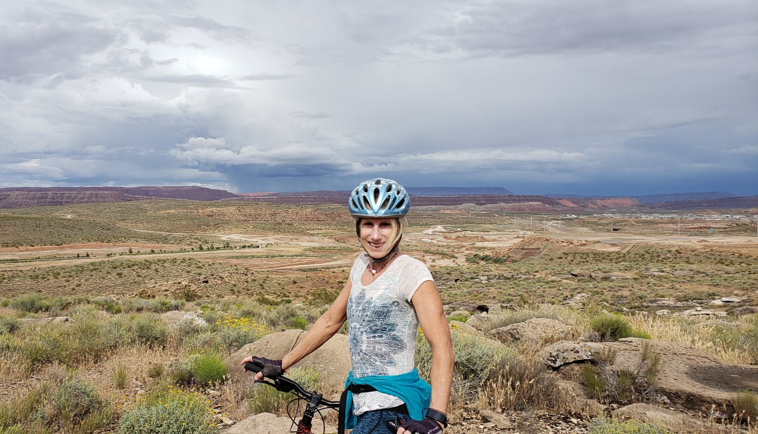
Our mountain bike sampler was limited as it had recently rained, but we’ve heard there’s tons of epic trails around here. The driest trail option was the newly developed Desert Canyons Trail System. We cruised around two of the trails, Pushing Tin and Secret Sauce, both pleasant easy to moderate with views from the top of the mesa out to the horizon. Unfortunately, these views are slated to be filled in by a Master Community in the near future. (The developer’s concession / gift was this mountain bike trail system.) We were lucky to have it to ourselves with no building encroachment yet.
Wildflowers and Mesa Top ViewsMetal ArtKara Highlighting Crazy Technical OpportunitiesOpen Views for Now…
Directions: From St. George, take the I-15 S to Desert Canyon s exit and take a left under the overpass
We were told that there’s plenty of great mountain biking in and near St. George, but it wasn’t in the cards for this trip. We did make it to Moab for an epic mountain bike ride – stay tuned for that post.
As far as these 2 rides go, I’ll give them 2 thumbs up.