Road Trip: Pintler Scenic Route, MT

If you’re heading to Butte from Missoula or visa versa, the 64 mile Pintler Veterans Memorial Scenic Highway is a great alternative to Interstate 90. It starts  in Drummond, a not at all scenic, 1-horse town (population 309) that bills itself as the “Biggest Bull Shippers” in the country. I “ship” you not. We stopped for gas and nothing else there.

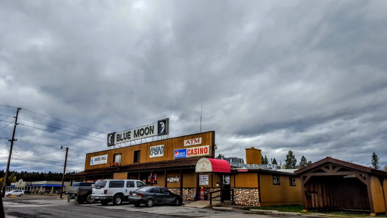
Our next stop was historic Phillipsburg, a charming 19th century mining town in the heart of Montana sapphire country (population 820 as of 2010). We strolled up and down the short main street in about 5 minutes, grabbed a coffee and indulged in some Montana bbq for lunch.

Main Street Phillipsburg, MT         Population ~820

20161102_141317

We enjoyed the lovely views Georgetown Lake and Silver Lake (see top feature picture) along the way.  Georgetown Lake is famous for its fishing in the summer and ice fishing in the winter. Unfortunately, the sky didn’t clear for a good pic at Georgetown Lake.

Georgetown Lake, 3000 acres, ~6000 altitude
20161102_142615 (1)
Roadtrippin by “Painted” Rocks on the Pintler Scenic Highway

We didn’t stop in Anaconda, nearly named Copperopolis, it was named after the Anaconda Copper Mining Company and at one time this small town was the world’s largest supplier of copper, just as electricity became ubiquitous.

Overall, it’s a pleasant drive with a backdrop of conifer-carpeted mountains and sage-brushed hills along Flint Creek.

20161102_132942
Flint Creek Meandering Near the Roadside

If you’re into historic mining towns, ghost towns (3), and a sapphire mine this is your route. (There’s a waterfall out here somewhere too.) In any event, it’s certainly more interesting than Interstate 90. If you have the time to spare, just do it.

Missoula, Mt: Rattlesnake Rec Hike

Just had time for a quick hike in the Missoula area so chose the Rattlesnake Rec Area. Very tame woods and fields with fire-road size trails and some single track.  Went up Curry Gulch and looped around via Sawmill Gulch. Super easy terrain, even I could mountain bike the trails I saw. Good trail running, if not a bit dull. Better for mt. biking.

Road Trip: Columbia Falls to Missoula, MT

A busy itinerary demands some time on the road today. Reluctant to leave Glacier National Park. It’s not goodbye; I’ll be back. This is just a teaser whirlwind trip from Spokane through Idaho and Montana.

A view of the dazzling Flathead River as I leave Columbia Falls.

20161101_121230

A highlight was the sparkling town of Big Fork, an affluent community where the Swan River flows into Flathead Lake, the largest natural freshwater lake West of the Mississippi with more than 180 miles of shoreline. (See featured top image.)

20161101_133936
The Swam River flows into Flathead Lake, Bigfork, MT


The scenery along the 35 East includes horse ranches, cherry orchards, spectacular Flathead Lake, and so much more.

20161101_142650

Then it was on to the awe dropping mountain ranges.

20161101_153528

Read more

Local color, the Hungry Horse Reservoir & a scary attic

After working up an appetite on the Avalanche Trail in Glacier National Park, we stopped in for some sustenance at a local watering hole…It was very “colorful” as they say…Friendly barmaid and a handful of Montana mountain men.

20161031_172703-1

On the way back to Columbia Falls, we swung by the scenic  Hungry Horse Dam, the 11th highest concrete dam in the  US at 544 ft tall, 2115 ft wide, 39 ft thick at the top, and 330 ft at the base. There’s a 15 mile loop you can drive or bike, but it started pouring rain and visibility was poor so we opted out.

20161031_110651

Stopped for a cocktail at the Blue Moon Bar and Casino.

20161101_121846.jpg

Have I mentioned that it’s all about hunting in these parts? Taxidermy shops and small bars / casinos are as common as nail salons back in LA. When I walked into the Blue Moon, it was like walking into a natural history museum (and I’m not talking about just the patrons either).


Later, the granddaughter of the owner took me on a private tour of the attic that was jam packed with the owner’s “trophies” of big game from Canada, Alaska, Montana, etc…It was like something out of a horror movie, a bit creepy, and way over the top for this animal lover.

Avalanche Creek Trail to the Lake, Glacier National Park

The Going to the Sun Road was closed at Avalanche for the season so hiking options were a bit limited. Started at the Trail of the Cedars, where a wooden walkway leads through dense old growth.forest, the ground plush with almost iridescent green moss and a spectacular view of roaring avalanche creek. All this in a half mile or so and wheelchair friendly.

The rest of the Trail of the Cedars was closed, but I continued up along Avalanche Creek to Avalanche Lake. This easy, couple mile trail (4.5 miles roundtrip with 730 feet elevation gain) winds along Avalanche Creek and then up to the lake, and is one of the most popular in the park. One of the advantages of hiking in the off-season, and in the rain, is having it almost all to yourself.