Distance: ~9 miles
Elevation Gain: ~3,700 ft
Difficulty: Easy to moderate for the first ~3 miles (1,400 ft gain), then becoming significantly more strenuous with steep grades, loose shale, and slippery footing along the narrow upper ridge to the summit.
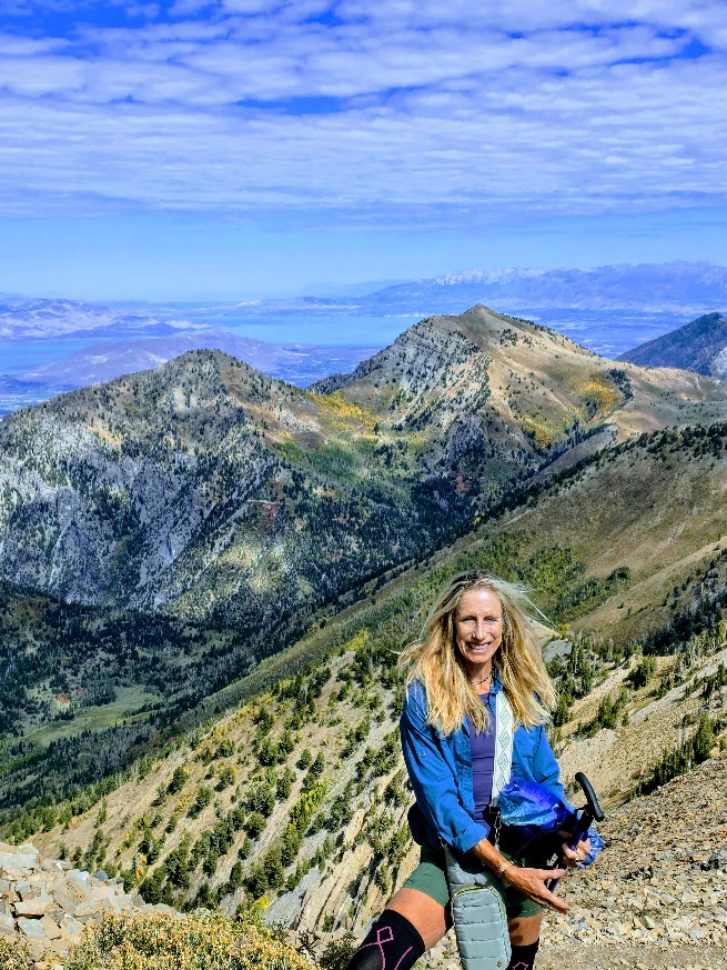
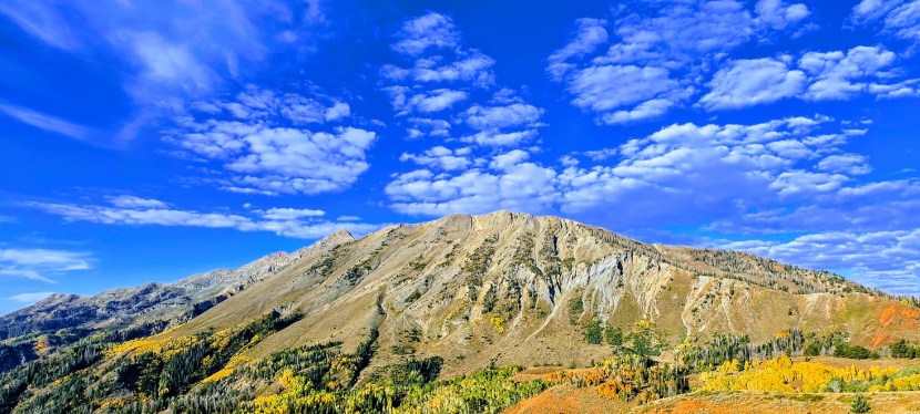
At 11,933 ft, Mt. Nebo is the highest peak in the Wasatch Range and the 39th of the 57 “ultra-prominent peaks (5,488ft), meaning that its peak rises high above the land around it.
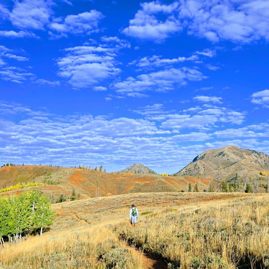
The hike begins along a fence line through a meadow with rolling hills. In the Fall, clusters of golden aspens and ruby scrub oak adorn the mountain sides and are a feast for the eyes.
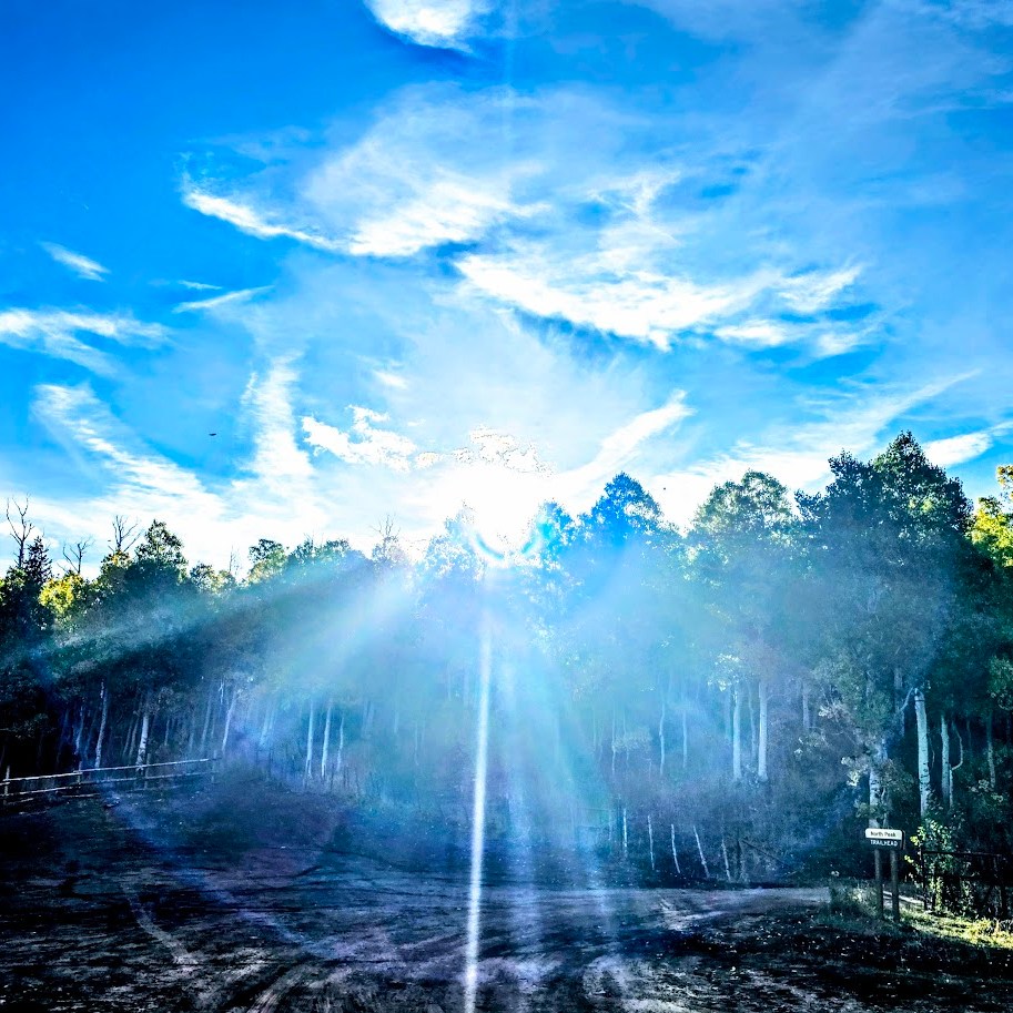
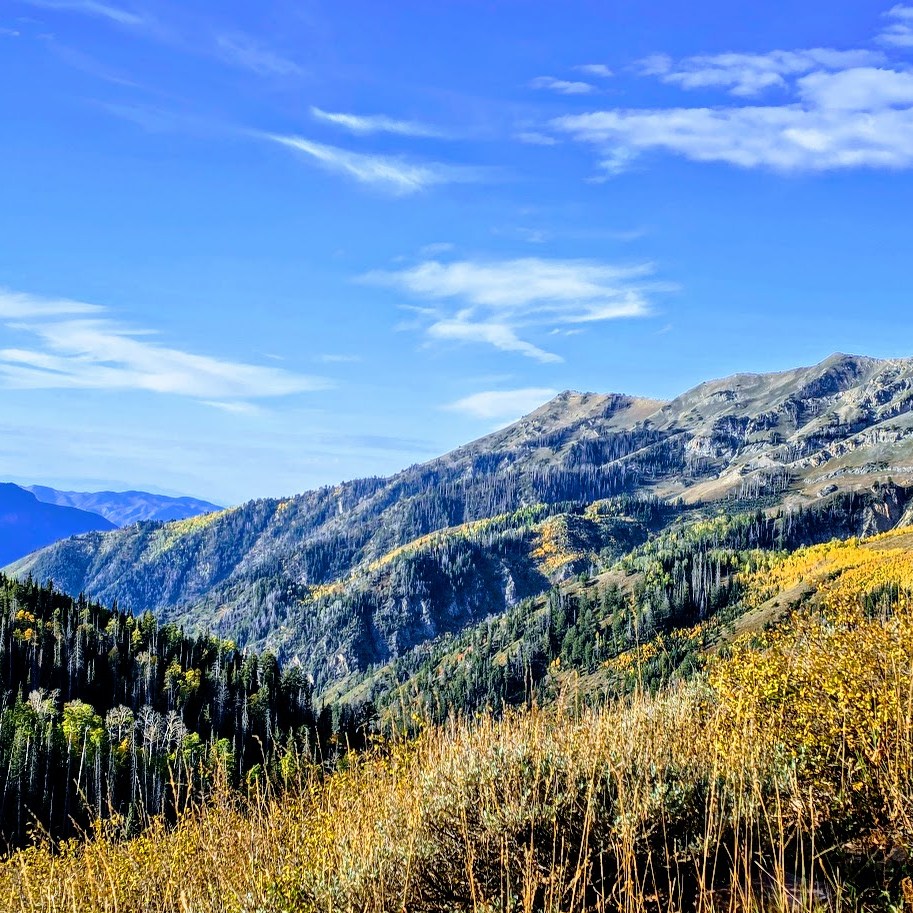
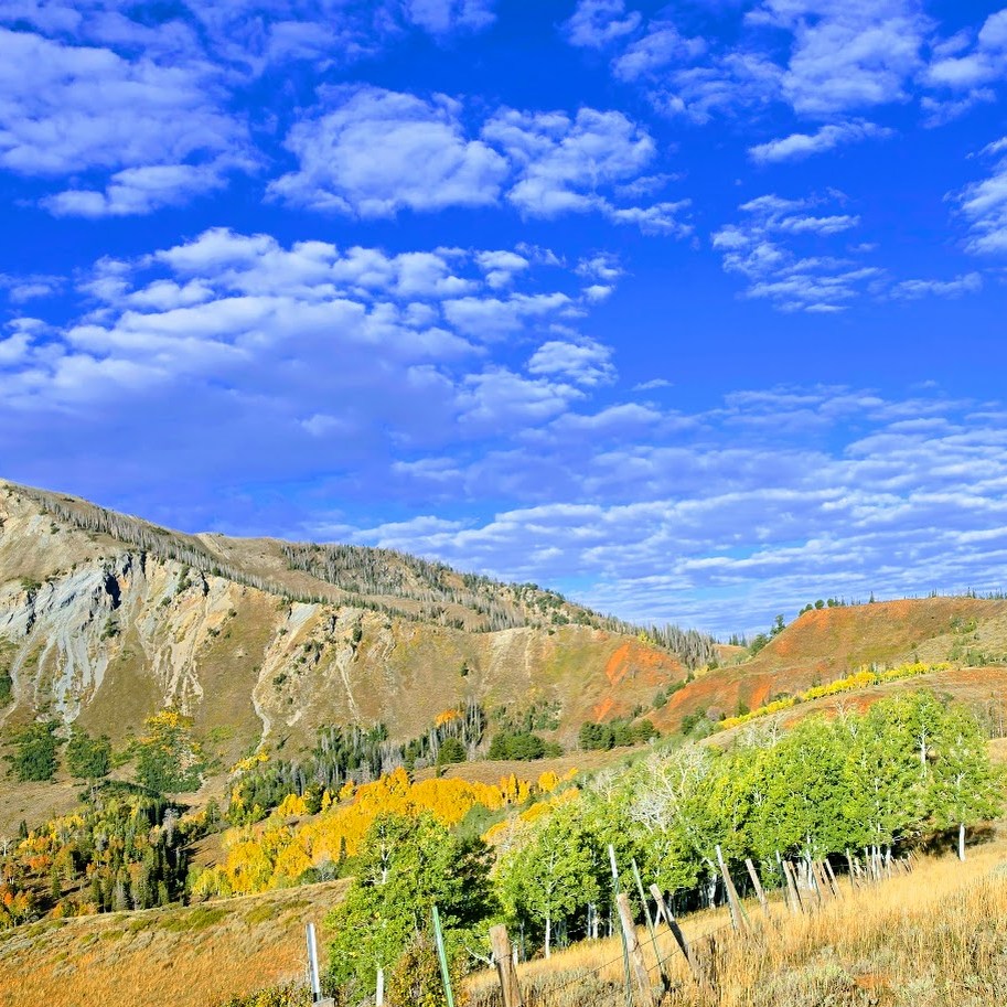
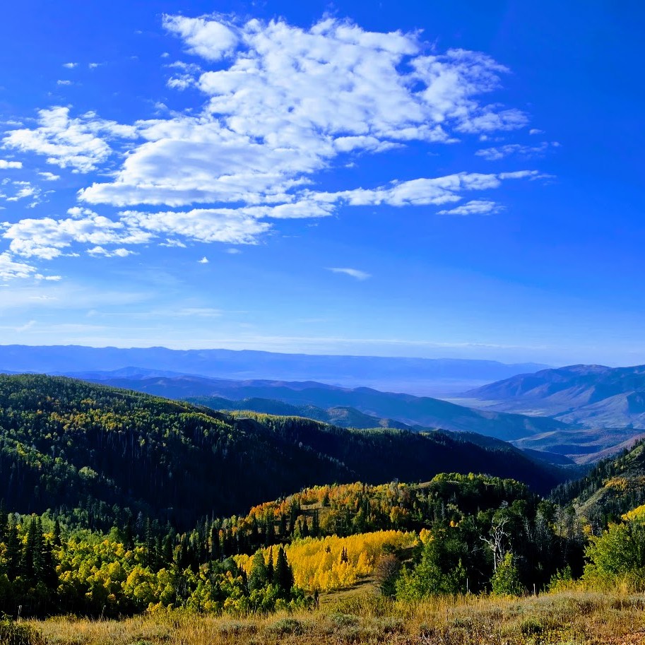
Next, you’ll enjoy a short, enchanting walk through the forest. Before long, you’ll be out of the woods and climbing more earnestly.
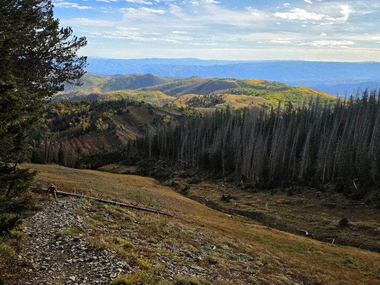
Your first summit will be Wolf Pass Peak, 11,439 ft, about a mile from Mt. Nebo’s summit. From here, you have a great view of Mt. Nebo’s distinctive pyramid-shaped peak.
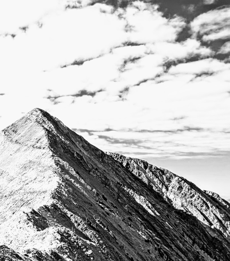
Now, only the final steep pitch remains across the narrow ridge of loose shale and dirt. At times, the trail is indiscernible (see if you can make out a trail in the black-and-white photo above); stay on the ridgeline for the most direct route.
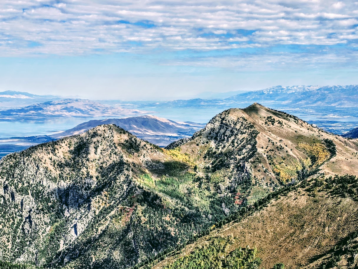
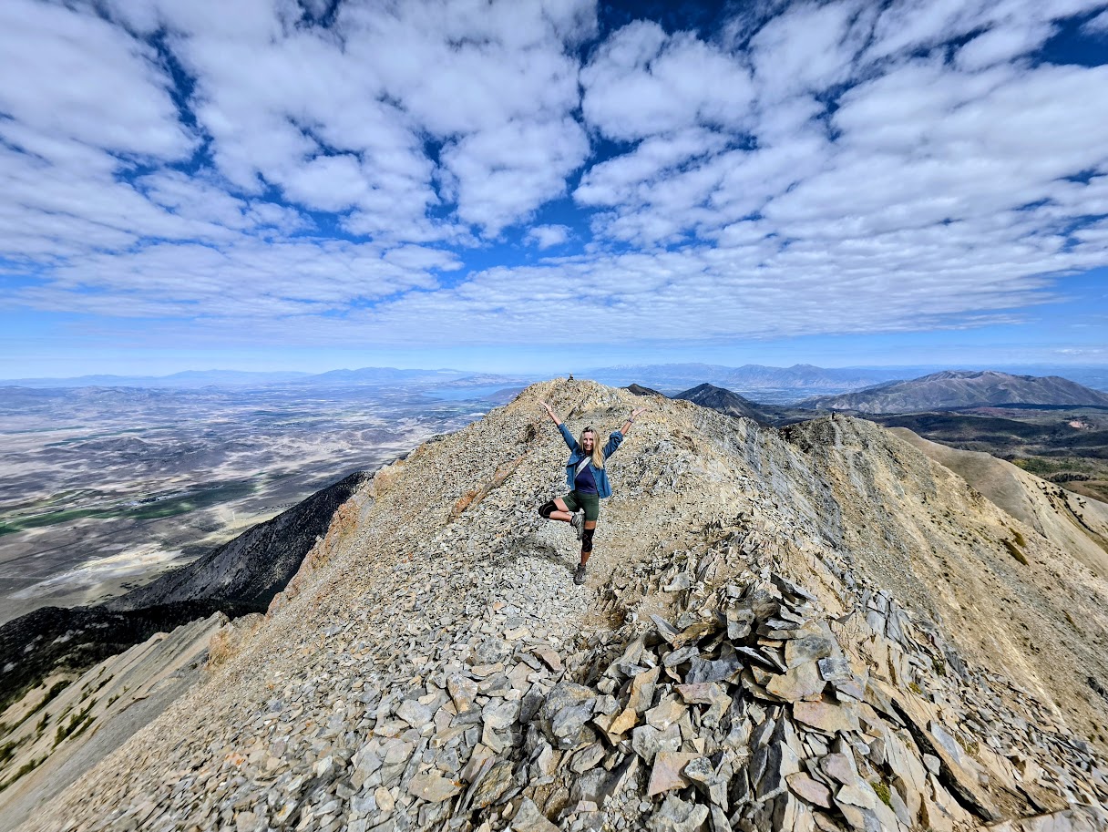
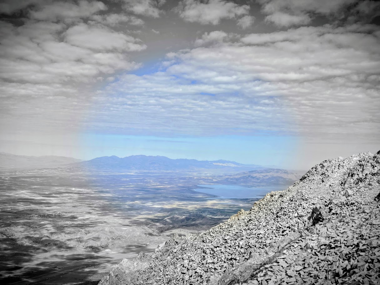
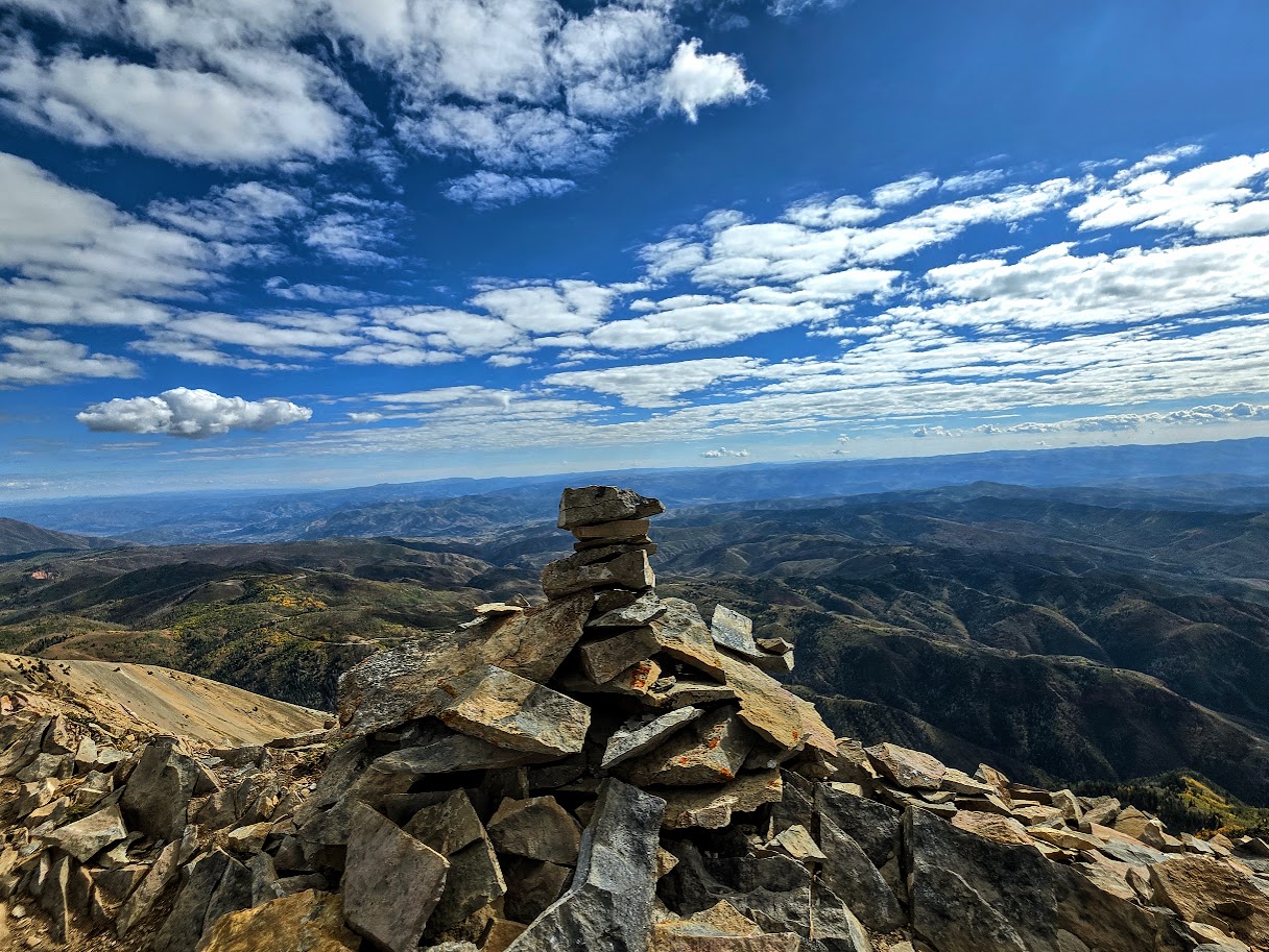
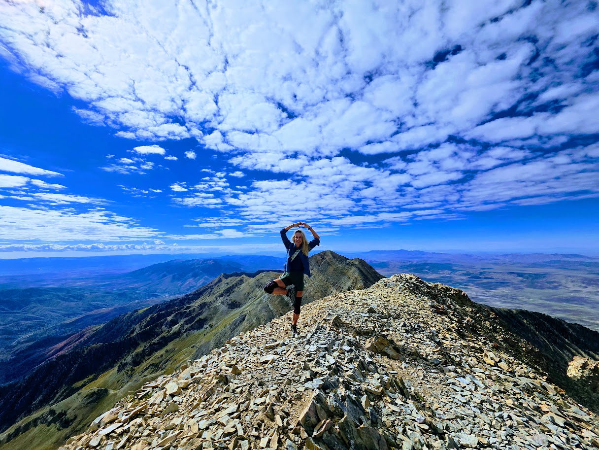
From Mt. Nebo’s summit, you can add on, following the trail to Nebo Middle Peak (.07 mile) and beyond to Mt. Nebo South Peak (~<2 miles). I considered it since I felt strong and relatively fresh, but with more on the day’s adventure agenda, I turned around. Seems this was a prudent decision for me as the descent took a toll on my knees (Grade 4 bone-on-bone), even with the use of a pole and knee braces. Overall, a great hike, though not so great on the knees. I call it Mt. KneeBoo.) Happy I did it, unlikely to repeat, though I’ll admit those other peaks are calling me…
Equip yourself: Trail running or hiking shoes with good tread are essential. Consider poles as well. (In general, I prefer to have my hands free, but I used one pole on the steep descent to help my knees.)
Caution: Steep drops, challenging terrain, and altitude make this hike potentially treacherous for those uncomfortable with heights and scrambling, prone to experiencing altitude effects, unsteady on their feet, or attempting the hike in adverse weather conditions (i.e. wind, snow, ice). (A hiker died falling from this ridgeline in August of 2015.)
Getting there: From Nephi, take UT 132 (I-15 exit 225) East 4.8 miles to Mount Nebo Scenic Loop Road (FR 015) take a left and continue for 13.4 miles to reach Mona Pole Road (FR 160). Follow the dirt road another 0.4 miles to trailhead parking on the left.
Happy Trails!