Distance: ~33 Miles Elevation Gain: ~1,575 FT
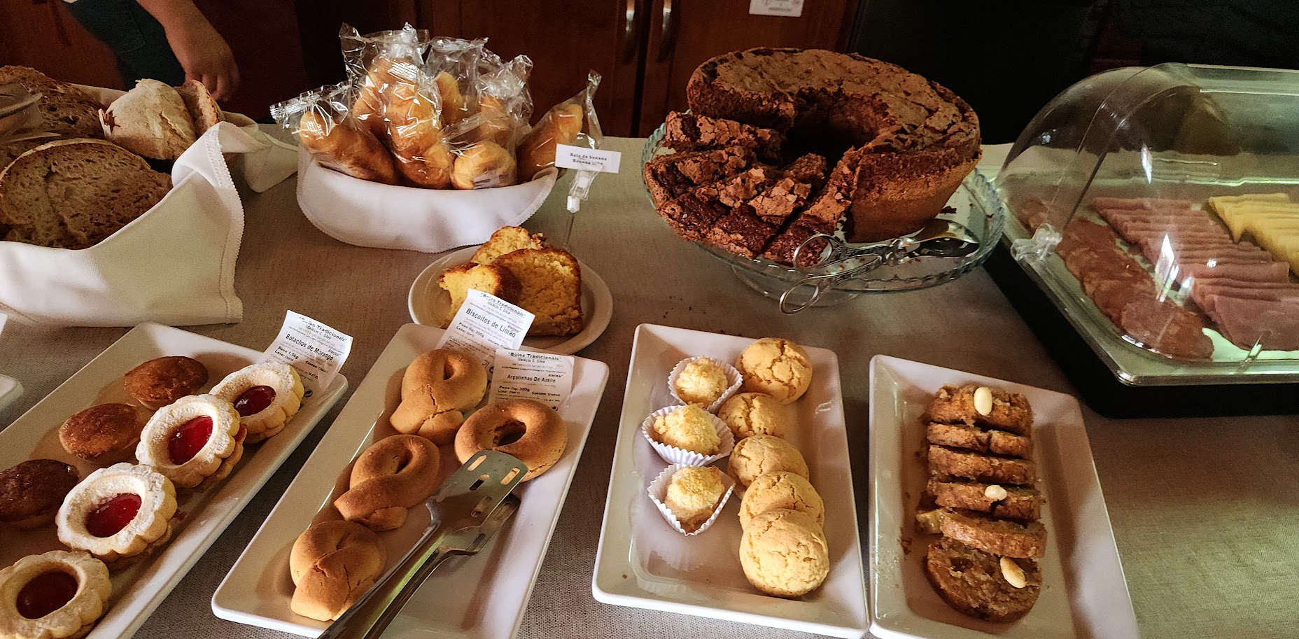
After a solid night’s sleep and another heavenly breakfast buffet, we hit the road for biking day 3 with Top Bike Tours Portugal.

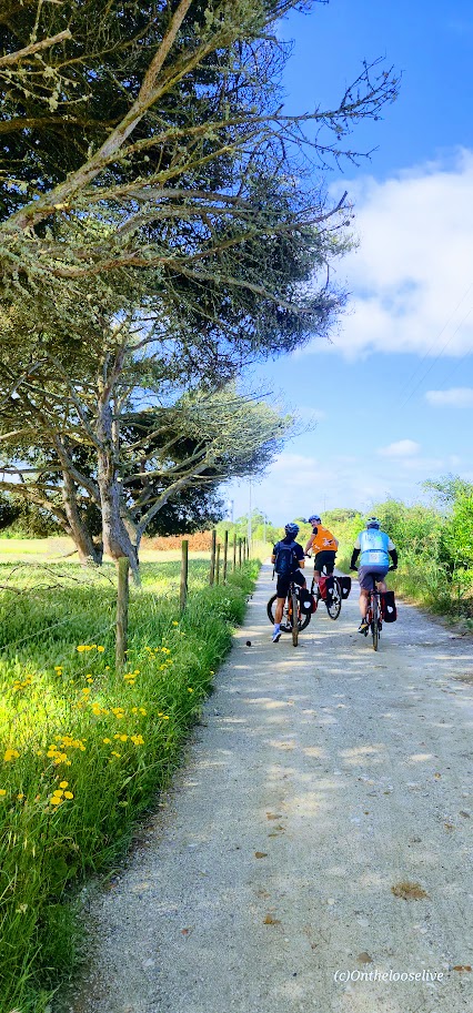
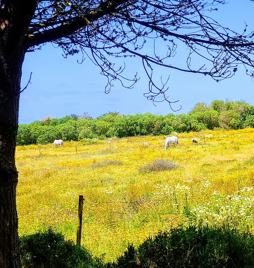
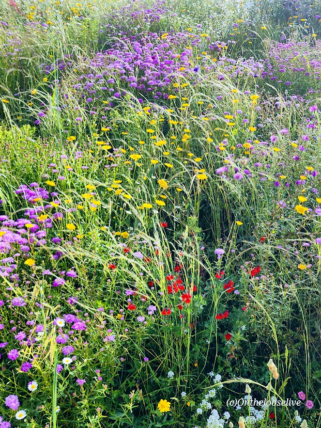
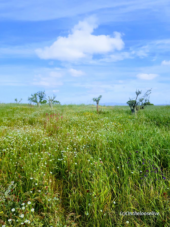
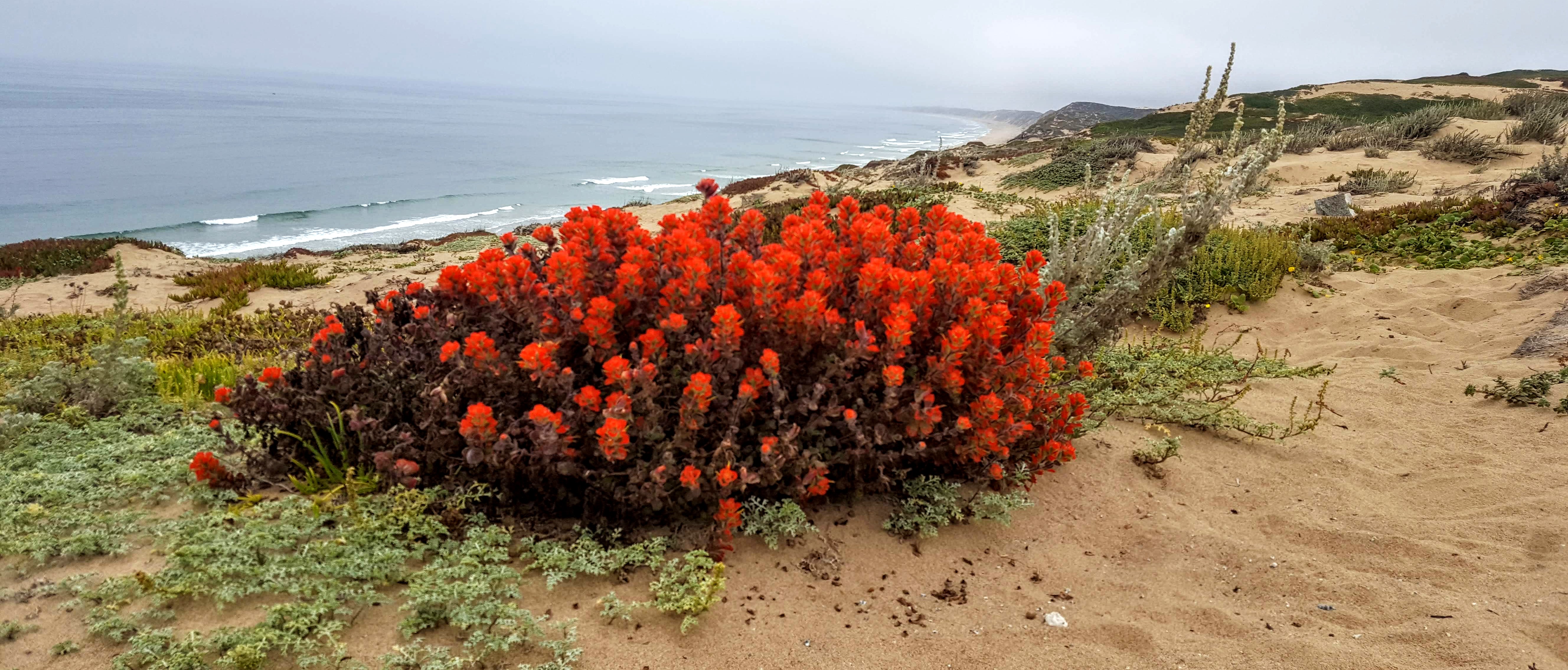
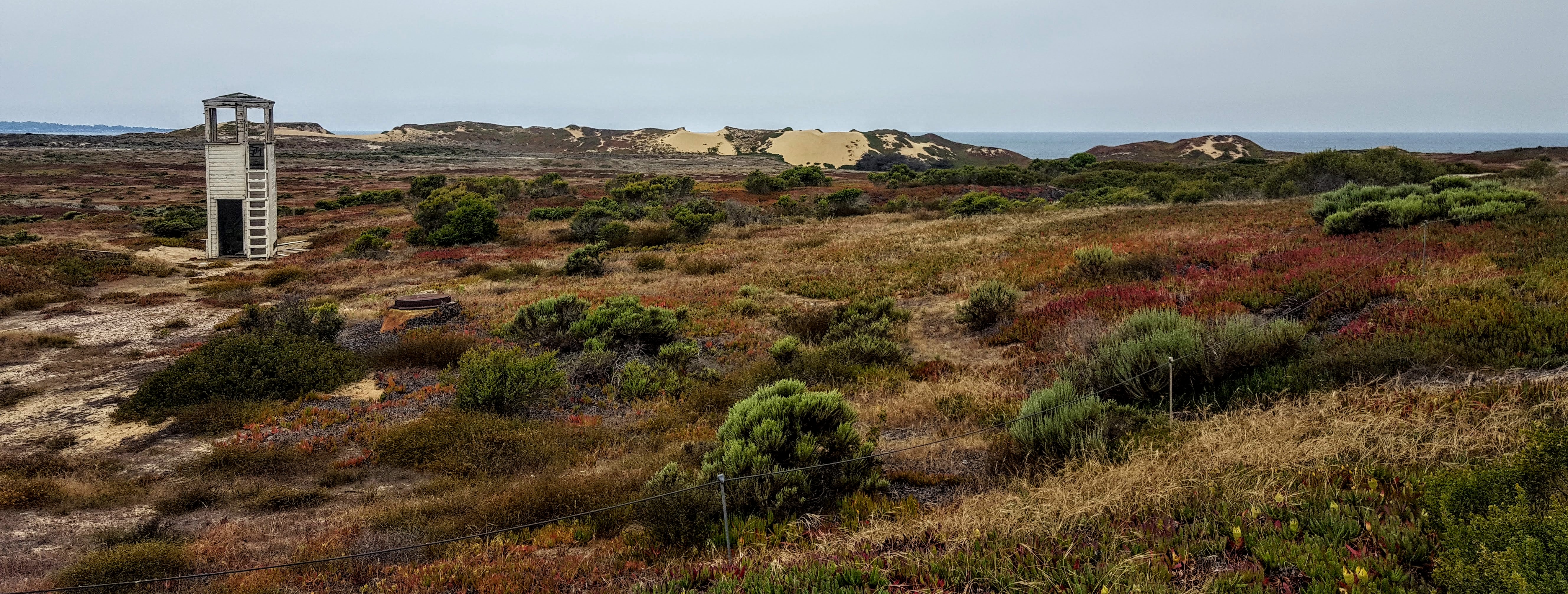
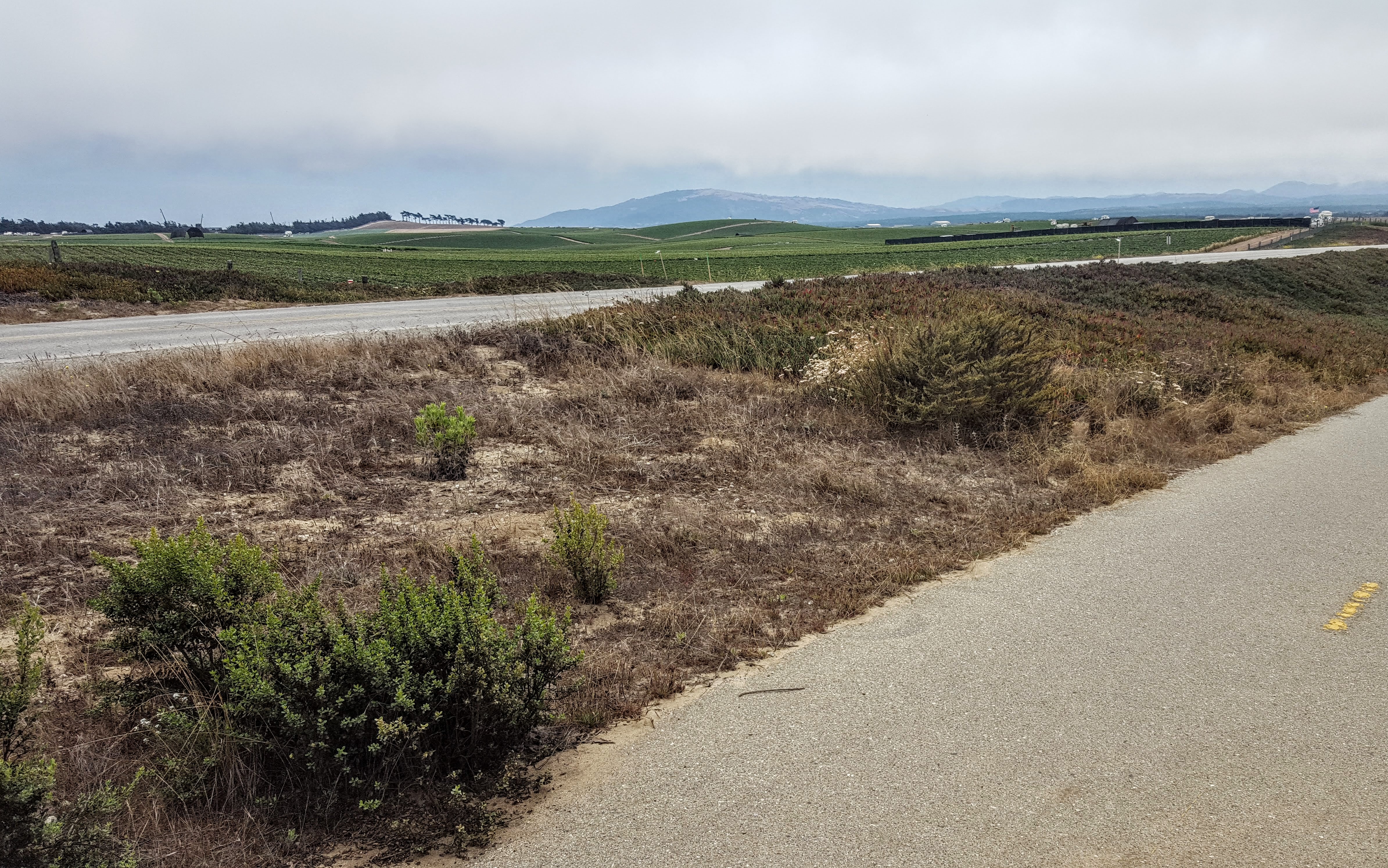
We rolled through peaceful countryside and farmland on a mix of paved roads and dusty trails.


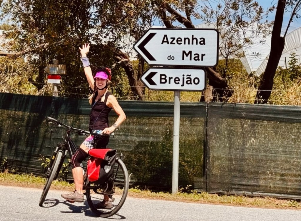
After huffing our way up a steep cobblestone hill —legs burning (well, those of us on regular bikes that is), spirits high—we were rewarded with a surprise at the top: a cluster of unlikely expats appearing like a mirage. Apparently, residents of the Safari Lodge Kuanza.


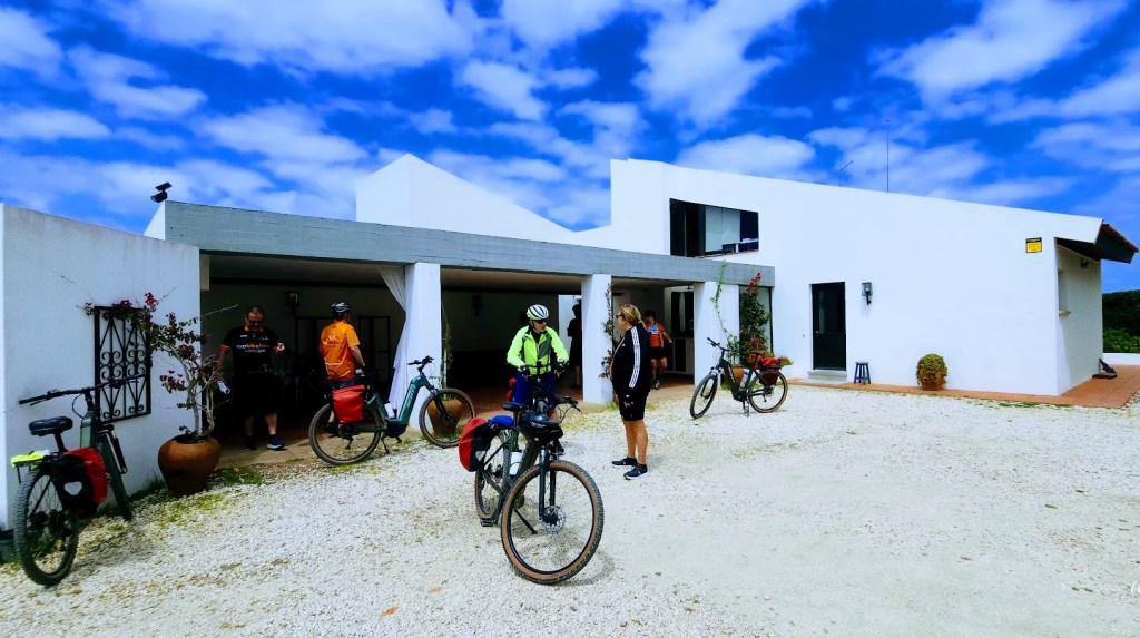
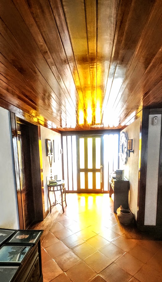
Our next surprise was a private tour of the legendary “Queen of Fado”, Amália Rodrigues’ spectacular cliffside estate. Telmo casually tapped in the code at the remote entrance gate and guided us in. Privileged!

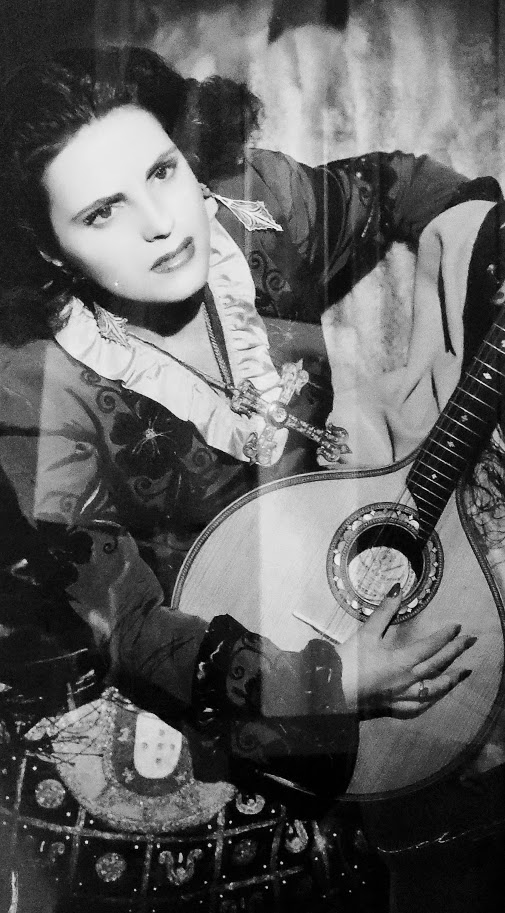
Amália wasn’t just a singer; she was a force of nature. A poet, lyricist, actress, and Portugal’s most iconic voice, she poured raw emotion into every note of Lisbon’s soulful folk music. Her songs of longing and love captivated not just Portugal but the entire world, earning her accolades and honors from every corner of the globe.
Before the grand house took shape in the 1960s, Amália made her home in this cozy “cottage” tucked into the property.
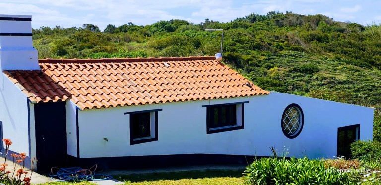
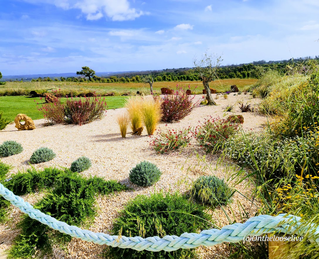
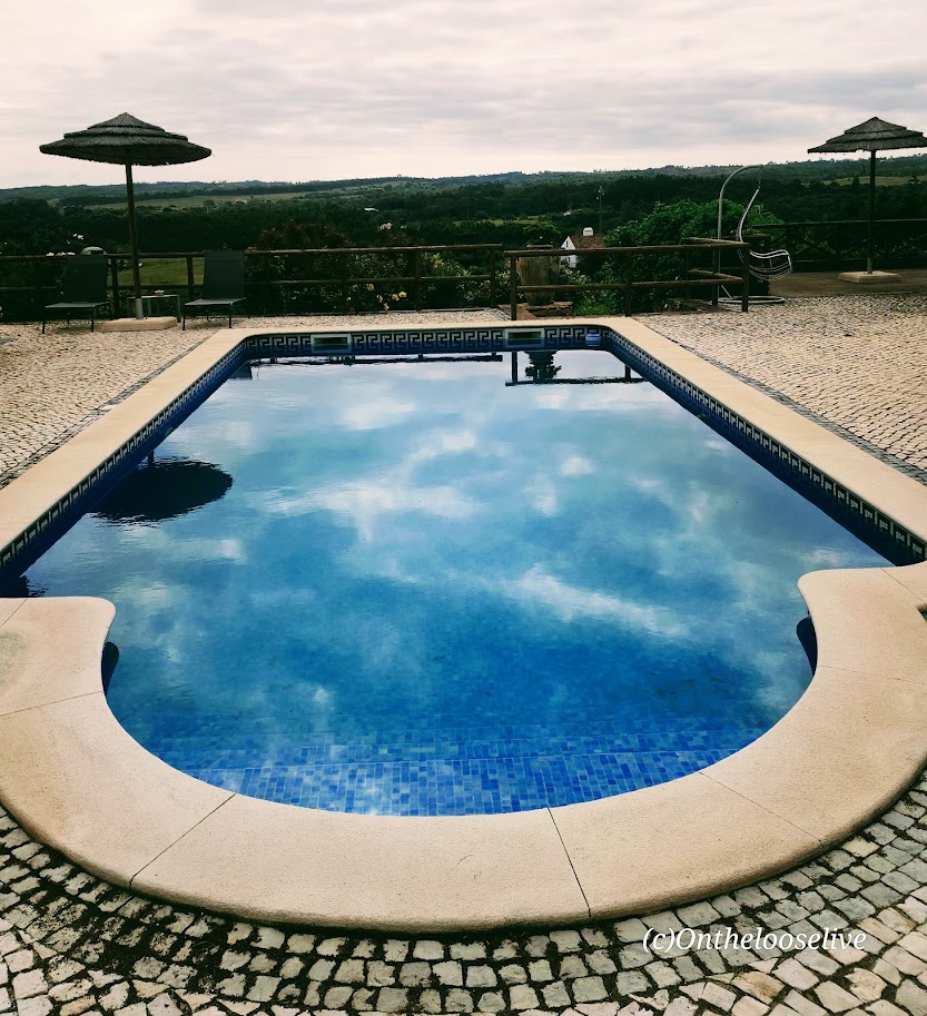
What was meant to be just a holiday escape quickly cast its spell—and it’s no wonder Amália made it her personal sanctuary for nearly four decades. The stunning main house she and her husband built, Herdade Amália Rodrigues, was inspired by Frank Lloyd Wright and is now a Bed and Breakfast Hotel

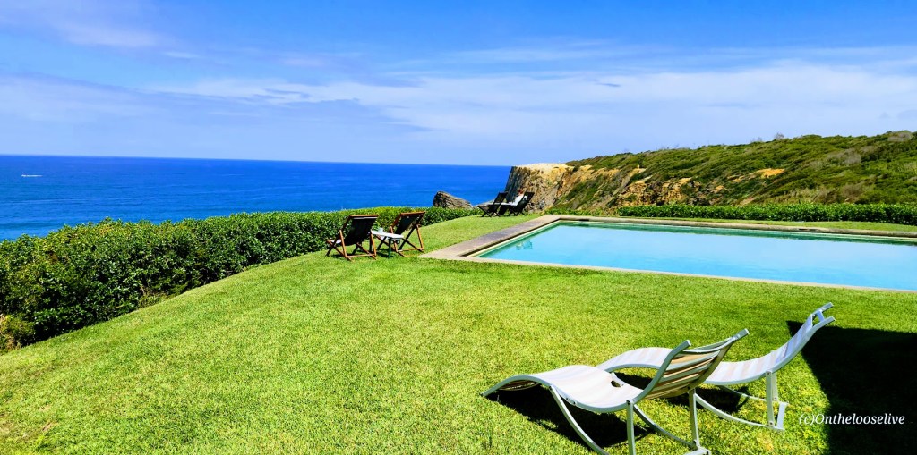

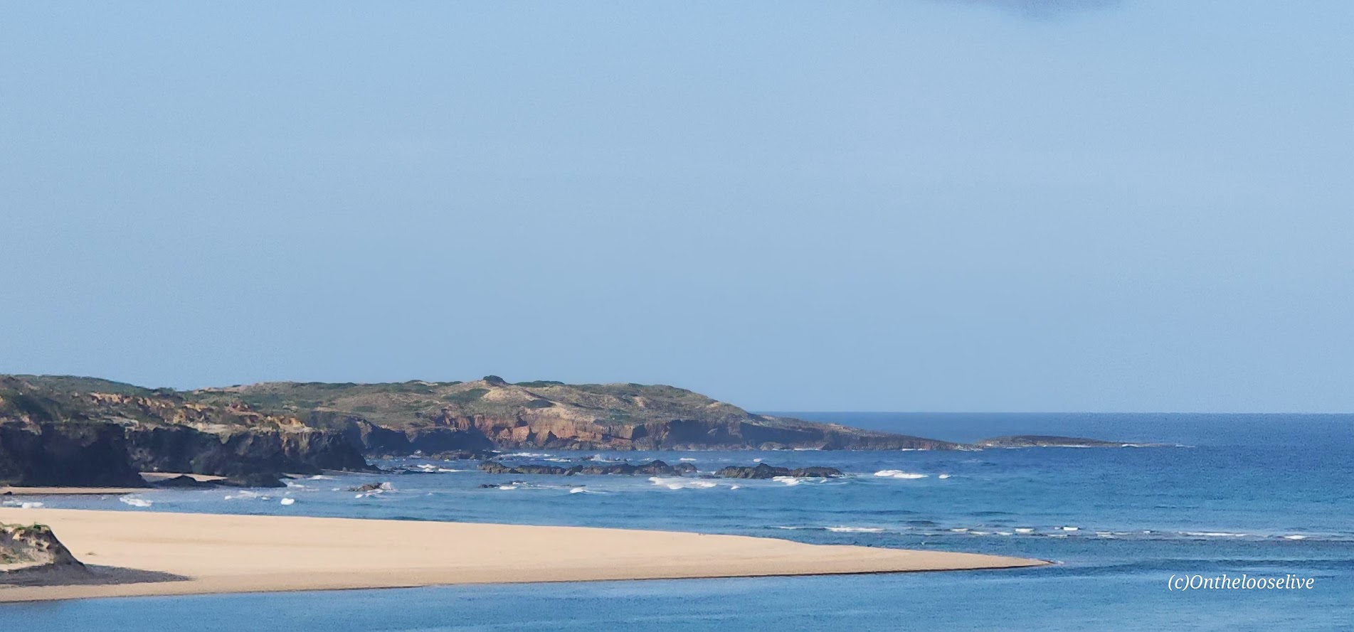
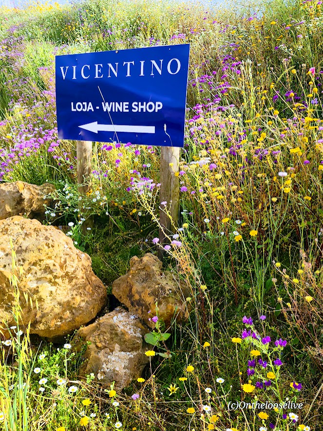
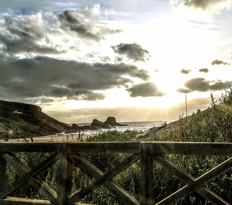
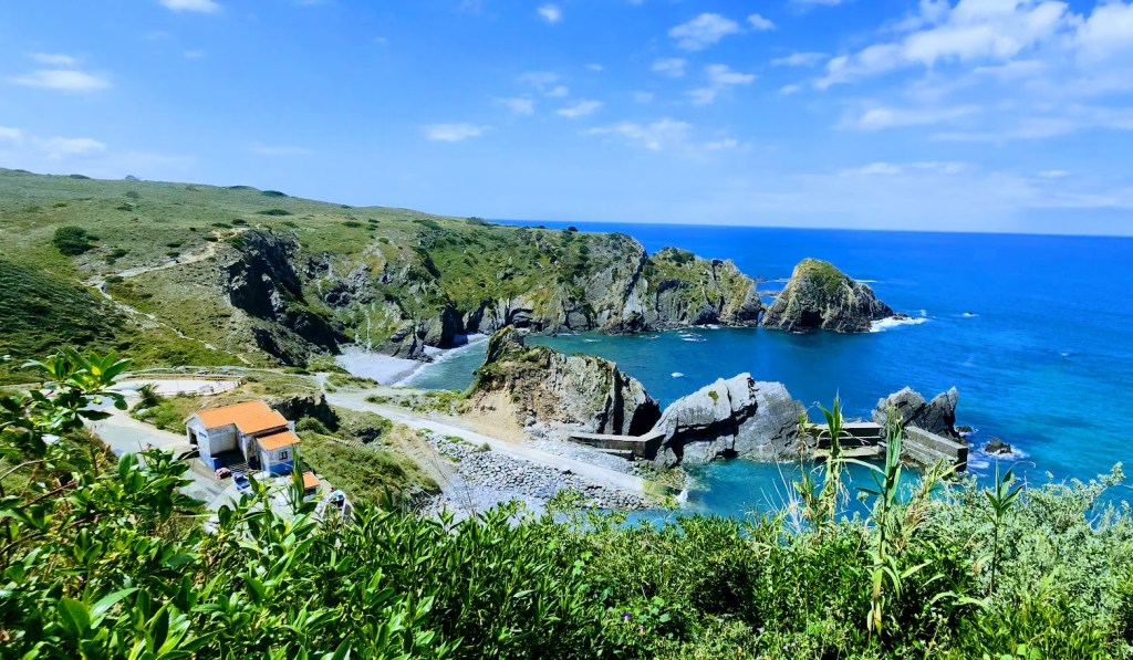
Sign me up! Is there a more splendid setting than this for a B&B? Imagine waking up to the sounds of waves crashing into the shore of the rugged wild beach below, and surveying the last untouched, preserved coastal stretch of the Algarve, Vicentina Coast Natural Park. Oh my! If you’re in the area, I highly recommend that you book a room or at least take a tour.
The estate is hosted by Amalia’s charming cousin and engaging storyteller, Antonio Felipe Gomes, who gives tours and shares highlights and personal anecdotes of Amalia’s life and legacy.


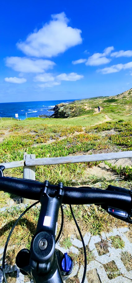
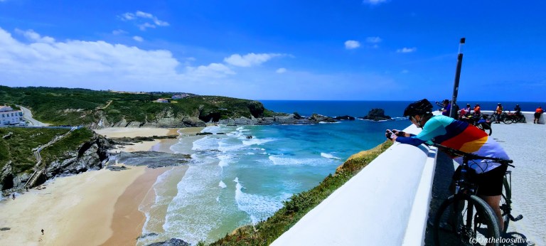
From “Herdade Amalia’s”, we continued our cycling journey along dirt roads with grand views of the coast, whitewashed houses, and verdant countryside.


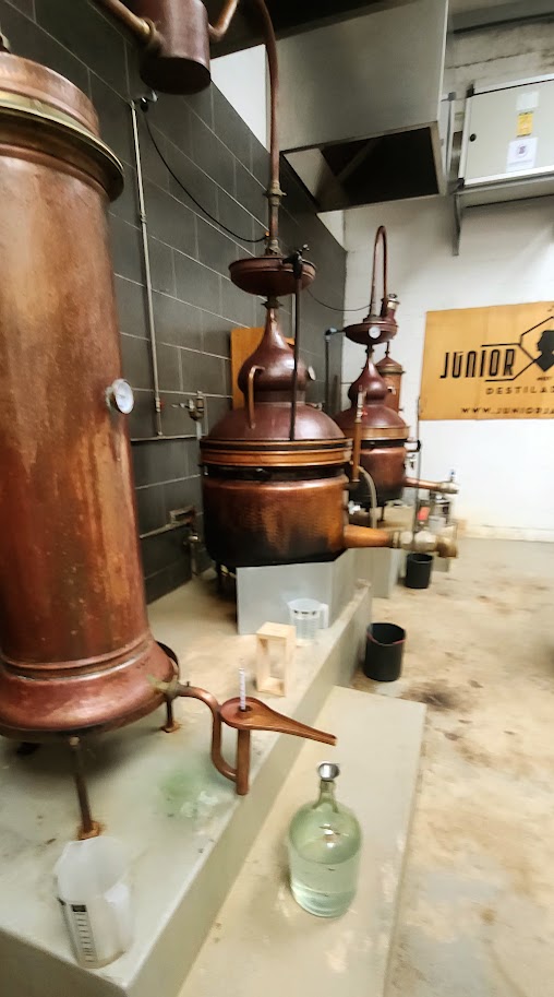
Our next surprise stop was at Junior Jaques Medronho Distillery, where one of the owners, Alfonso, passionately shared the story behind their journey to honor a cultural pastime and involve the local community in its revival. At the heart of it all is medronho, the fruit of the wild medronho tree.


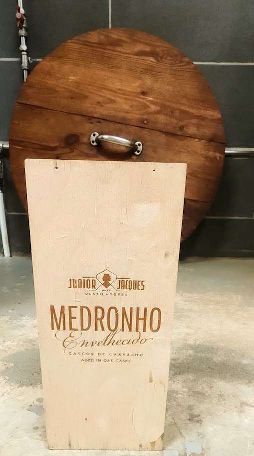


Smoother than vodka, richer than whiskey with a fruity kick that leaves gin in the dust, it’s a flavor that tells a story. For centuries, locals in this region have handpicked medronho berries, using them in everything from homemade recipes to secret family distillations. Now, thanks to Alfonso and his team, that age-old tradition is being shared with the world, one handpicked berry and one sip at a time.
Of course, the experience couldn’t be considered complete without a tasting—there were a few varieties to sample. We politely sipped the tantalizing, heady spirits—it was 2PM, we’d long since burned off our breakfast buffet, and we still had a couple of miles to ride before lunch.
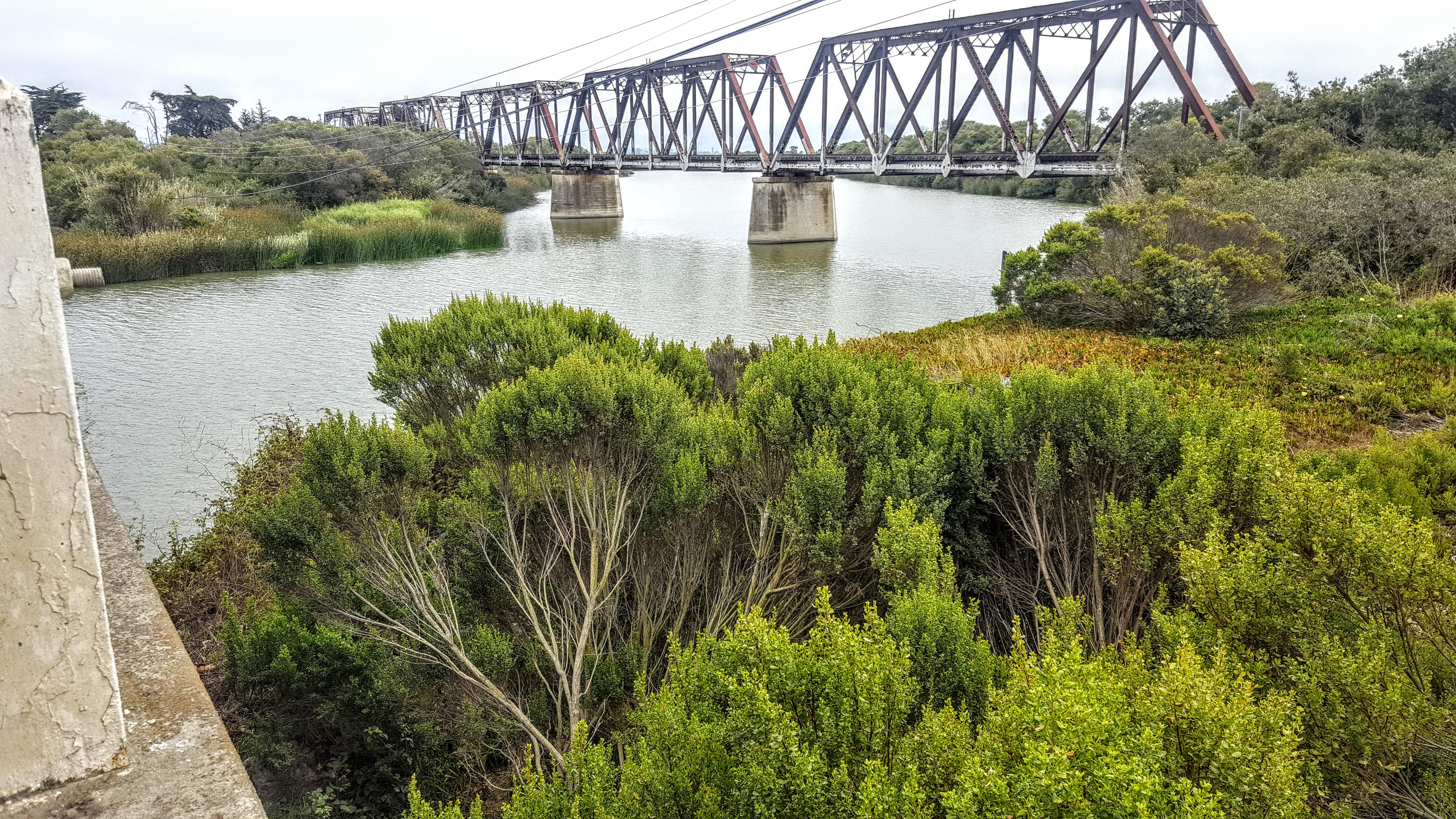
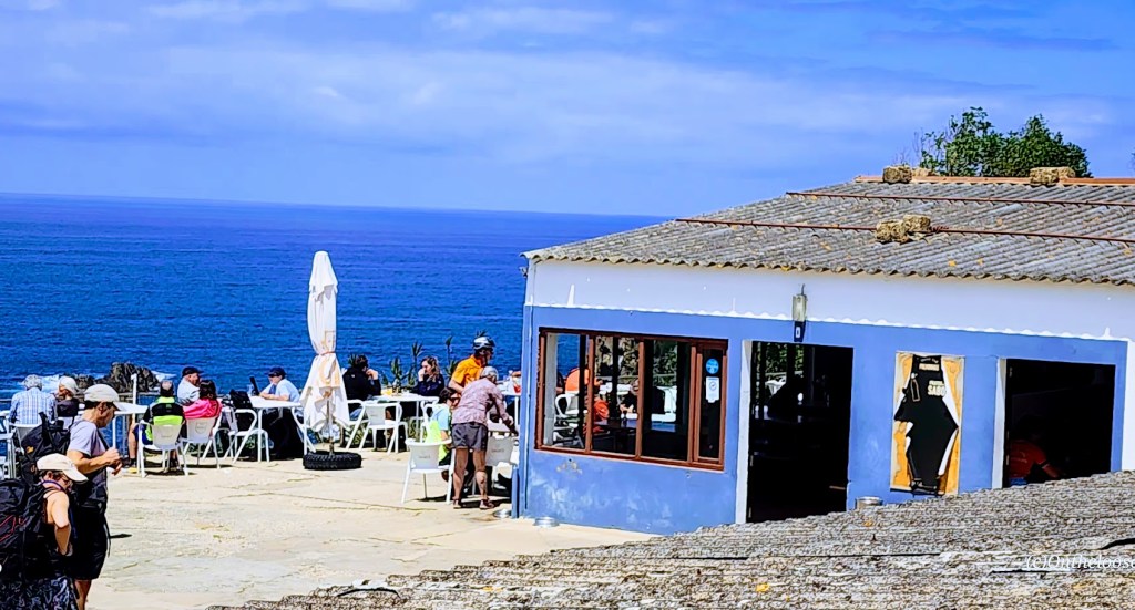
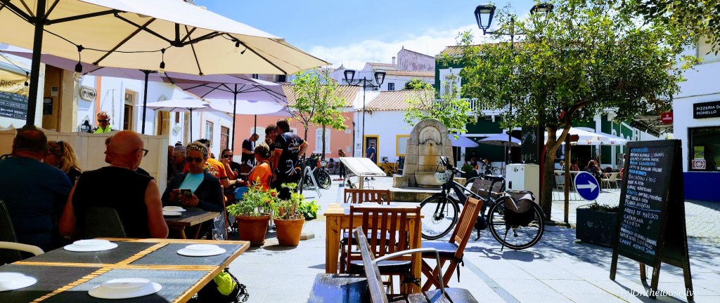
From the distillery, we rode back down the gravel road, crossed a short bridge, and followed a narrow, surprisingly busy, paved road into the picturesque village of Oxienta, nestled between the sea and the River Seixe.


At this point, we were all a bit overeager for lunch. The hollowness of our bellies had been punctuated by the intensity of the medronho spirits.
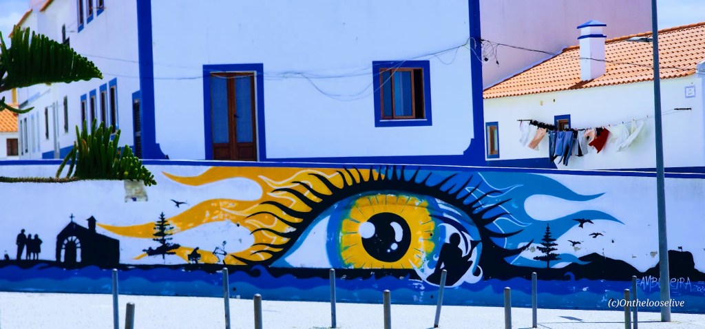
Along the road into the village was an amazing, vibrant, dynamic 260-foot mural. The group rode on, but I had to stop to marvel and capture pictures, only fragments, which don’t do justice to the splendor, scale, energy, or impact of this magnificent work of art.


A serene, beautiful native woman framed by hibiscus (mother nature?), and two birds anchors the far left of the mural, blue and red foxes spring into the air over mushrooms on either side of a hybrid fox man holding a rooster, a sea bird feeds her young, and at the other end a white-bearded, wool- capped fisherman amidst colorful fish and birds in flight (didn’t capture that section). See the entire span of the mural and learn about the artist, OZEARV, and his work here and on IG as OzeArv.
Commissioned by the Odeceixe Parish Board, Lisbon-born artist OZEARV, describes his work, “110 Steps to the Sea” on IG as follows: “[…]a reflection on the natural landscape and the socio-cultural fabric of the territory. I intended to celebrate the biodiversity[…]A painting that accompanies the River Seixe in which I tried to convey the feelings inherent to the transition from the past to modernity, reflecting the customs and traditions of the village that marks the border between Alentejo and the Algarve and what I consider to be a meeting place, inclusion and respect for nature. [Also, from the first to the last step, this is a mural that reflects on the journey of life, even if you are a human or any other animal, it’s part of life to take that walk from birth till death.
I would humbly ask the Odeceixe Parish Board to consider creating a walking and cycling path across from the mural so you can appreciate the artwork at your own pace without concern for traffic. After hastily snapping my pics of the mural, I joined the others for lunch in the delightful village square.

I devoured a fresh poke bowl.
After lunch, came a bit of unintended excitement.
We kicked off the final stretch of the day toward our overnight stop in Aljezur—riding along a fast, smooth, scenic section that hugged the river and ended with a punchy little climb that came out of nowhere. The group was riding faster than they had yet. (Yes, all but 3 of us were on ebikes, but despite being on ebikes, their pace had been surprisingly slow previously. You’ll understand why this is relevant in a moment.)

Just as we were gearing up for that ascent, I noticed something strange: no sign of Bradley. Usually, at the front of the pack with his clip-in bike shoes and steady pace, he was MIA. I turned around and sprinted back, calling out and checking with everyone I passed. Even our trusty volunteer “sweeper” gave me a clueless “nope” (though I’m pretty sure he mentally handed in his sweeper duties right then and there). Where’s Bradley?
So, off I went again—sprinting back up now to catch our fearless leader, Telmo, who was already powering up that hill. I shouted, but the wind swallowed the sound. It took some serious effort, but I finally caught up with him, and between gasps for air, I explained the situation. Cool and collected as ever, Telmo gathered the group in a scenic pullout to wait, then turned back and took off like a hero on a rescue mission.
With no cell service, it felt a bit hectic for a minute… until, moments later, who rolls up in the van with Pedro but Bradley, grinning sheepishly. Turns out he was head down strapping on his bike shoes when we disappeared into the cobblestone mini maze, all of us assuming he was right behind us. Luckily, he saw Pedro, our ever-reliable driver, and the van just around the corner. In the end, Telmo and I got some bonus cardio, and Bradley has a story to tell about that time he was “almost stranded” on a bike tour in Portugal.
After that hill I mentioned, the scenic, winding road continued to climb steadily for a few miles. Then suddenly, we were flying, soaring downhill for miles on a world-class descent straight into Aljezur. I do believe it was the longest downhill I’ve ever ridden. So smooth and fast that you forget every uphill pedal stroke that came before it. (Would certainly make for an “interesting” ascent.)
Whoohoo, what a day! We had just enough time to check in, freshen up, and swap out our bike outfits for something civilian. As the sun dipped low, we wandered over to the restaurant.

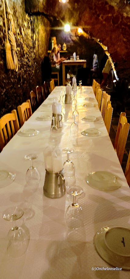
The restaurant was quite unassuming from the outside. Our host greeted us with a knowing smile and led us through a discreet side entrance. We ducked under the low stone arch entrance and stepped down into a hidden underground cavern with a private dining area for our group—it felt like we were guests in a medieval castle. Yet another unexpected and enchanting twist to end the day.
While the details of this meal are a bit fuzzy (we were all a bit wiped out from our full day at that point), I do recall the stroll back to the hotel in the magical moonlight.

Speaking of castles, little did we know then that the next morning’s first stop after a brutally steep cobblestone climb would be the ruins of an old fortress. Stay tuned for Biking Day 4 with Top Bike Tours Portugal.
Happy Adventures on Foot or Wheels! Loving Portugal! Can you tell?