Difficulty: Butt Kicker
Elevation Gain: ~3,490
Total Distance: ~11 Miles RT
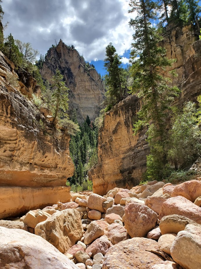
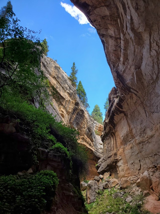
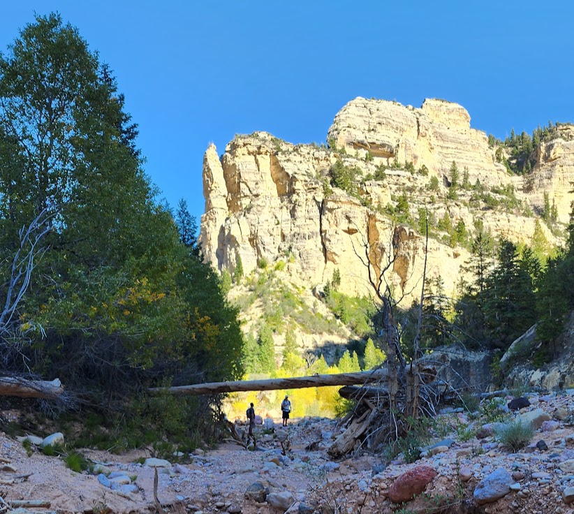
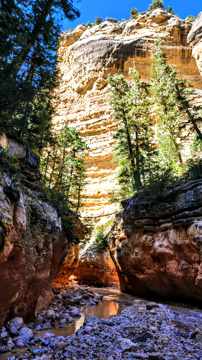
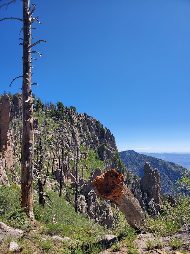
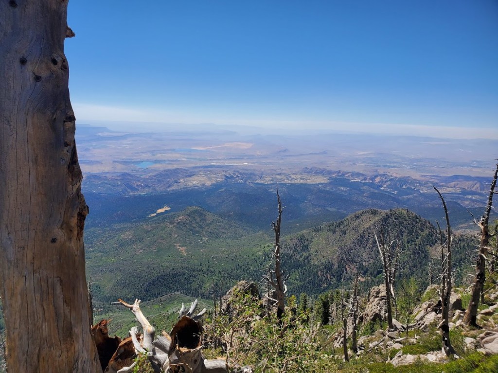
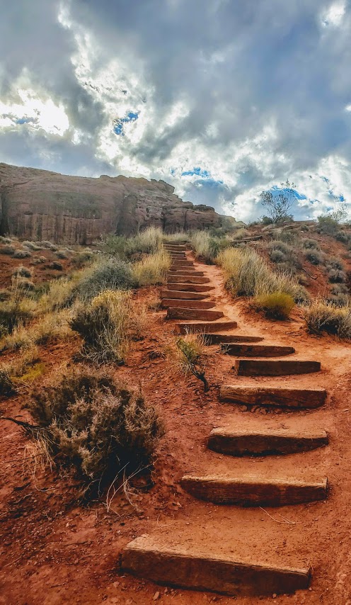
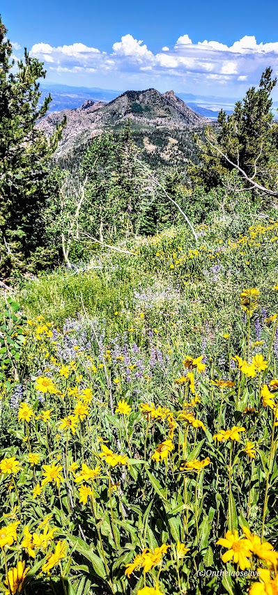
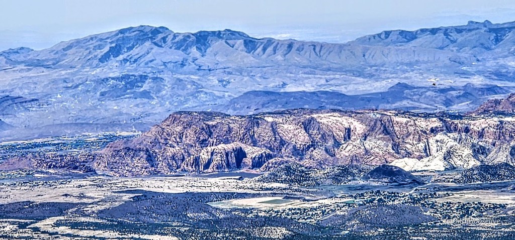
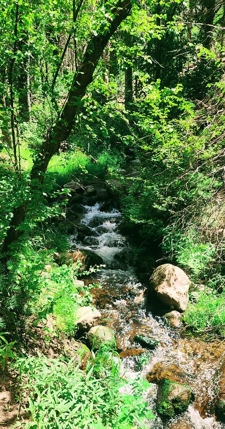
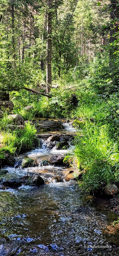
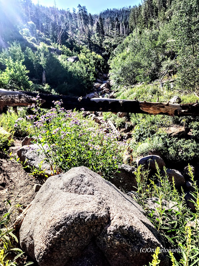
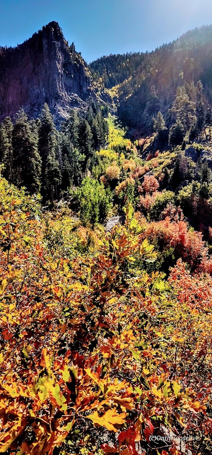
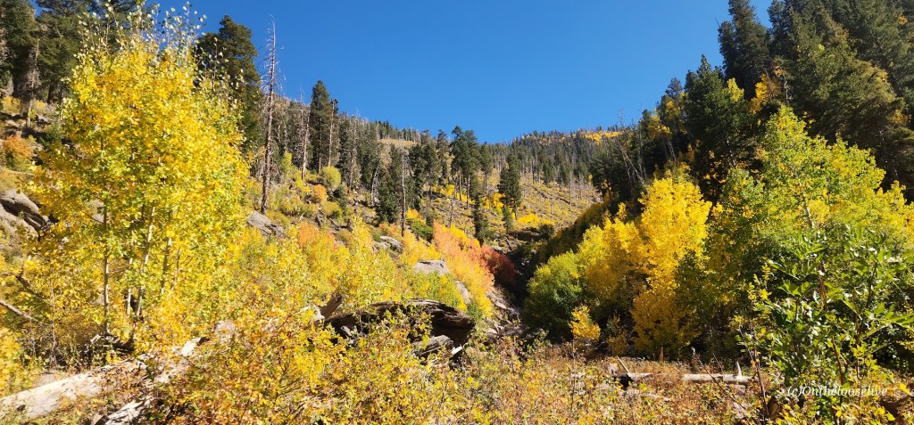
Forsyth is a kinder, more gentle trail than the Brown’s Point Trail and it offers an even greater reward—far more splendid, panoramic views. Don’t get me wrong, they are both great hikes, but if you can only do one, it should be Forsyth for the gurgling stream that runs alongside the trail for miles and the stellar views at the top. The first 3.5+ miles are mostly shaded with a steady incline. Once you hit the 3.5 mark, the trail takes off its kid gloves and puts your fitness to the test by packing a powerful punch of elevation gain into the last 1.5+ miles. Despite that elevation-packed punch at the end, I’d say this trail is MUCH easier than Brown’s Point Trail even though the mileage difference is less a 1/2 mile and the elevation difference is just a couple hundred feet. If you’re into peak bagging, there are add-on options to Burger Peak (~11.8 miles & 4,268 feet elevation) and Signal Peak. (I’ll update if / when I do those 2.)
Summer 2023 Update
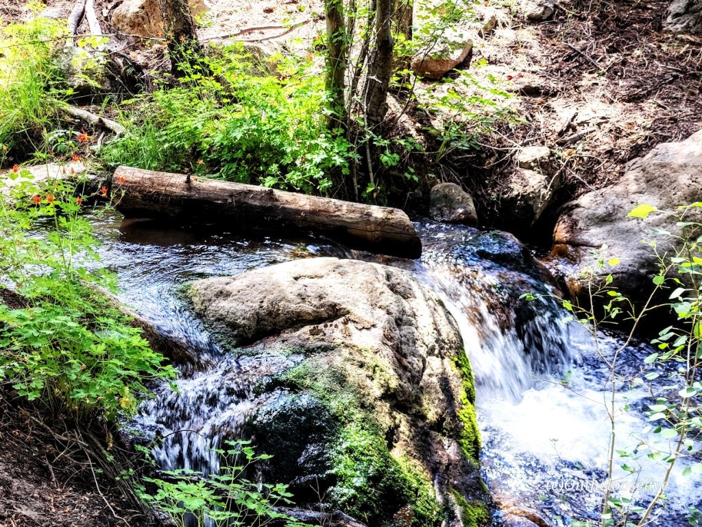
Our rainy winter rewarded us with a refreshing trailside stream up to mile 4. That’s the good news. The bad news—lots of biting flies and mosquitos. Pro tip: Bring bug spray and be on the alert for tics.


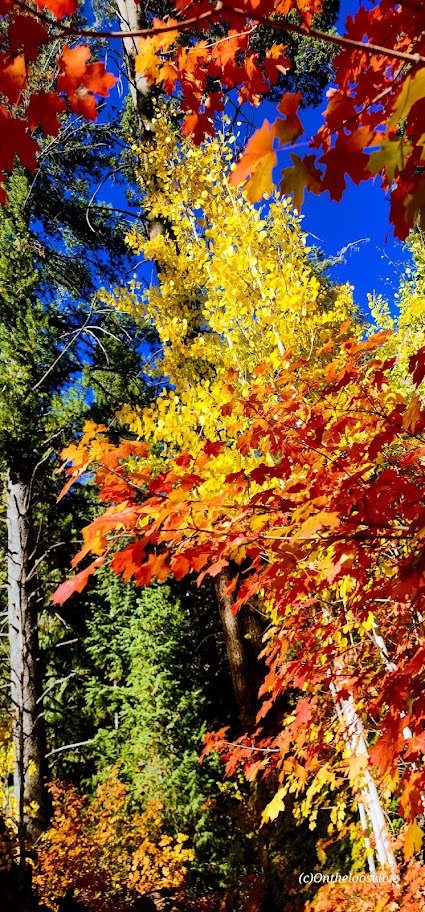
Fall 2024


Getting There: Turn left onto FR 035/E Main St/Pine Valley Rd and right at the sign for Forsyth Trail / Meadows Dr / U1212.
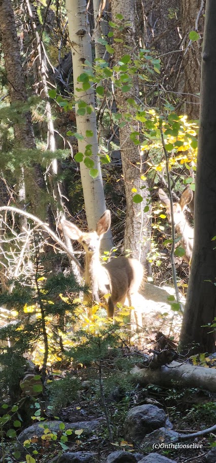
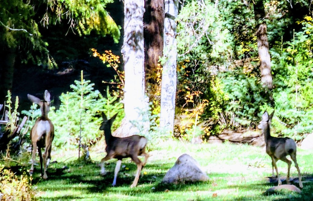
Notes: Dog-friendly
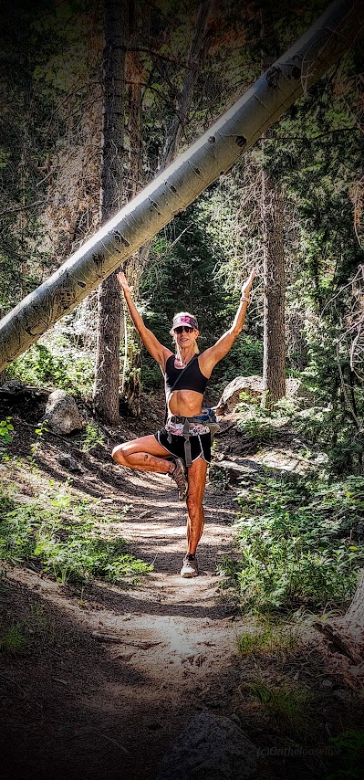
Happy Trails!