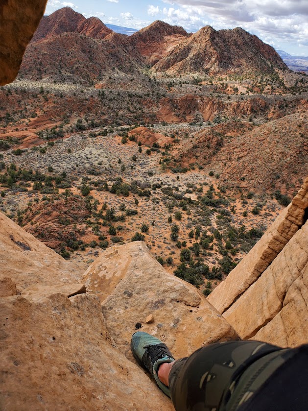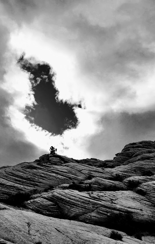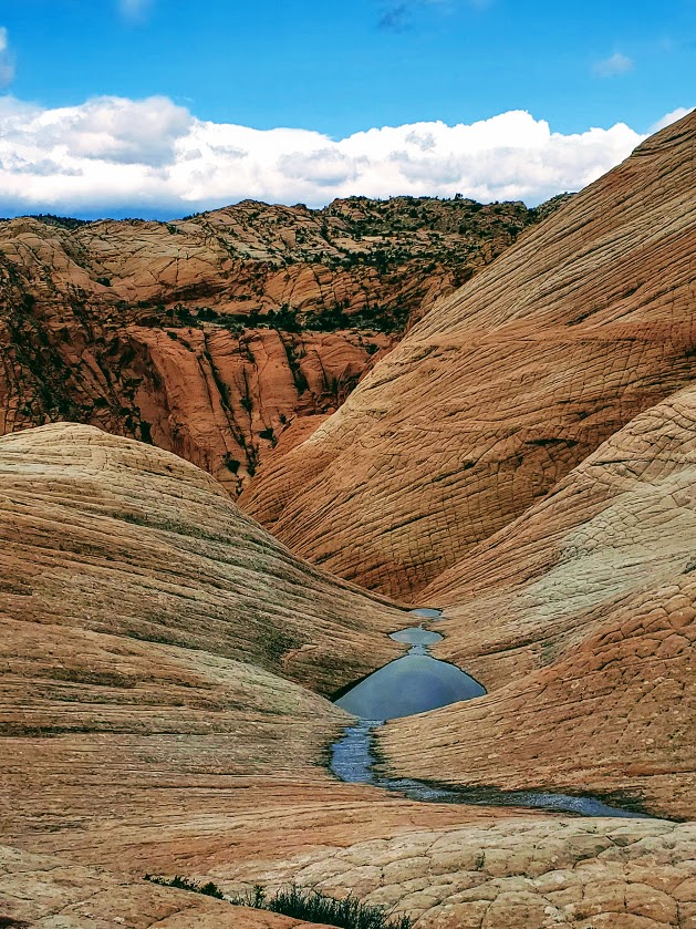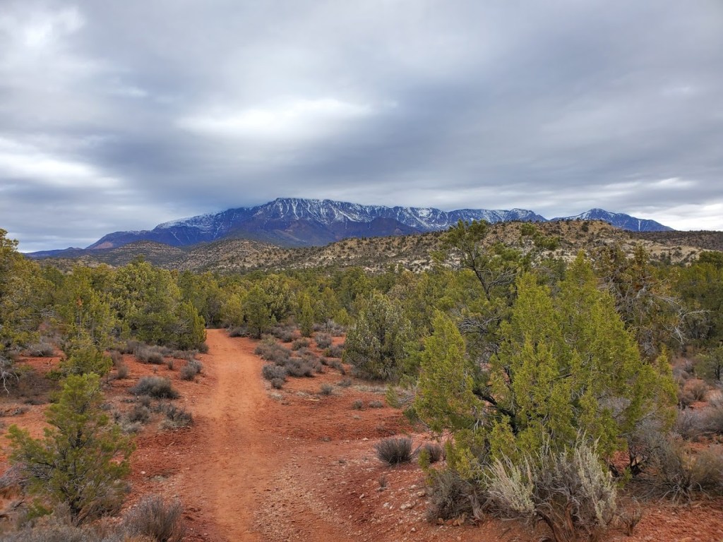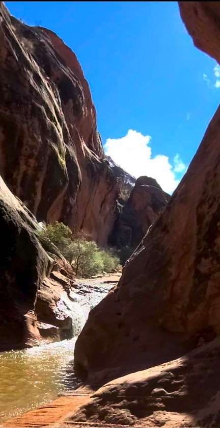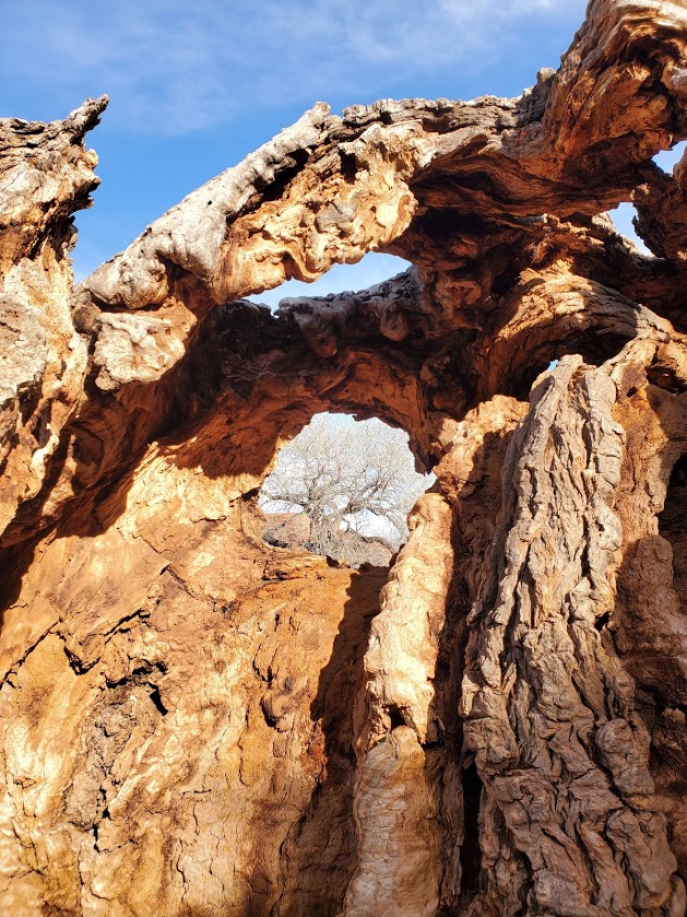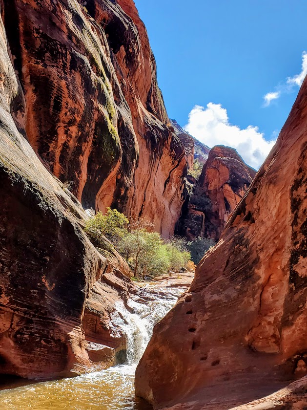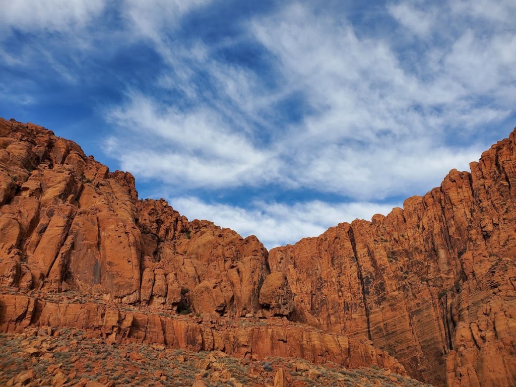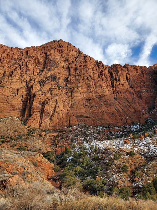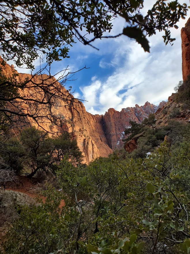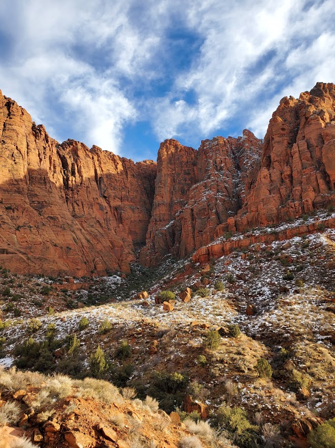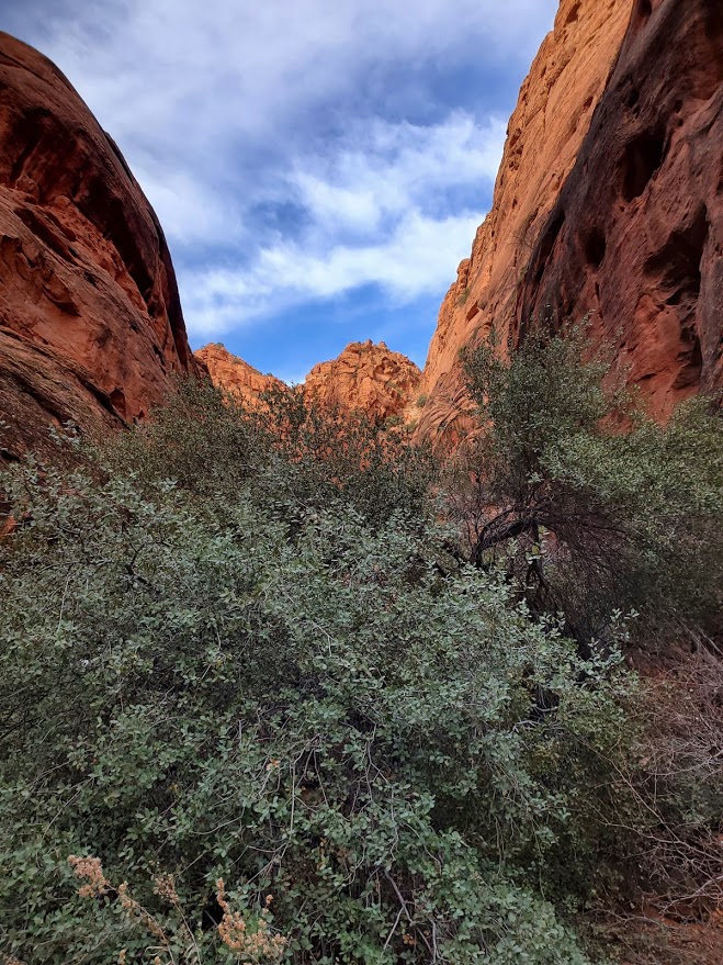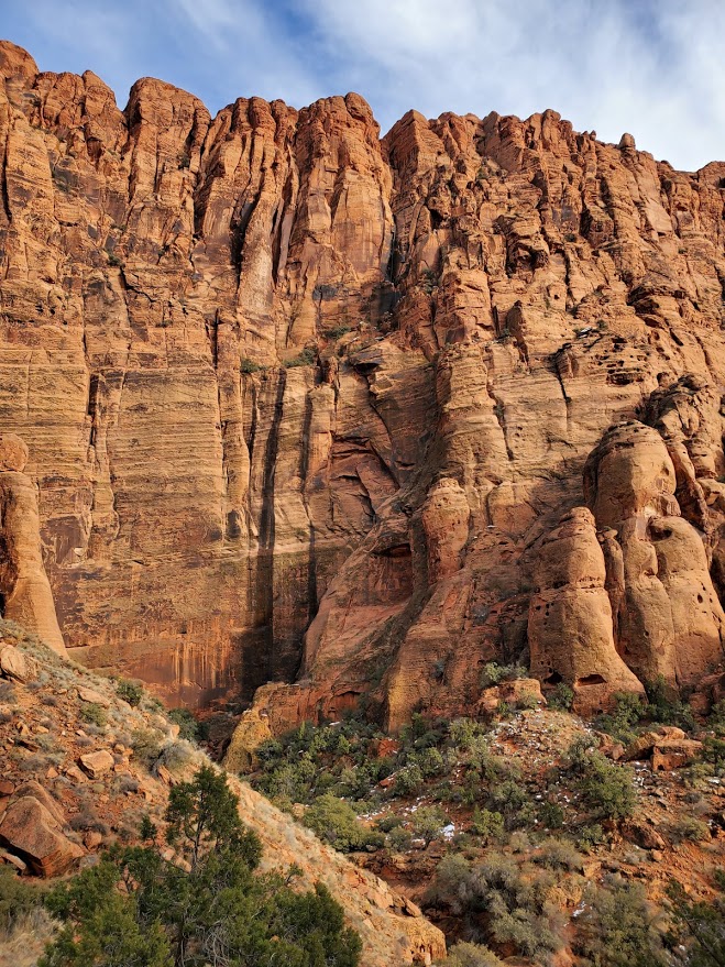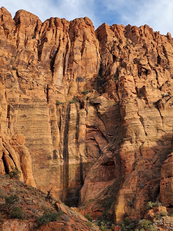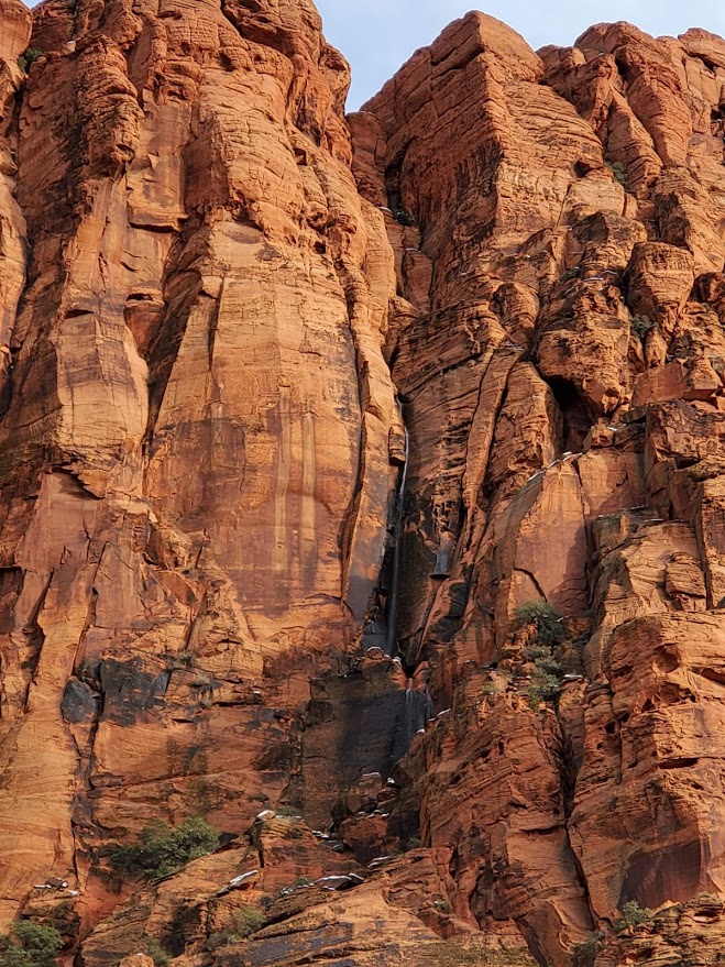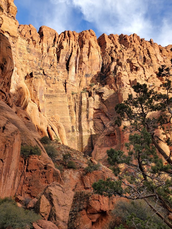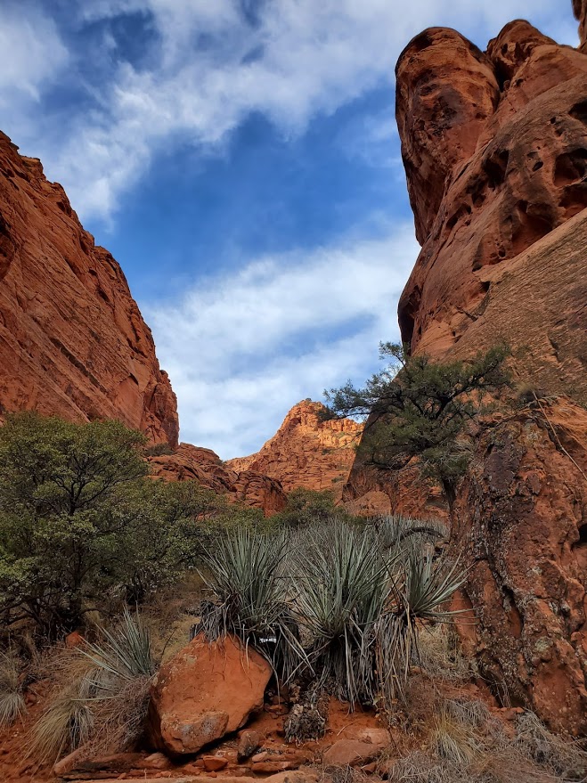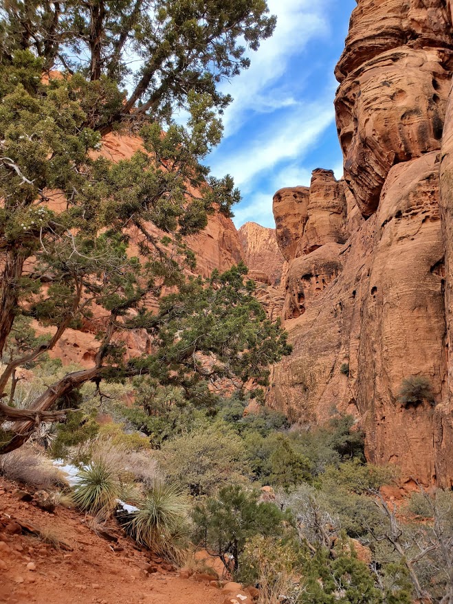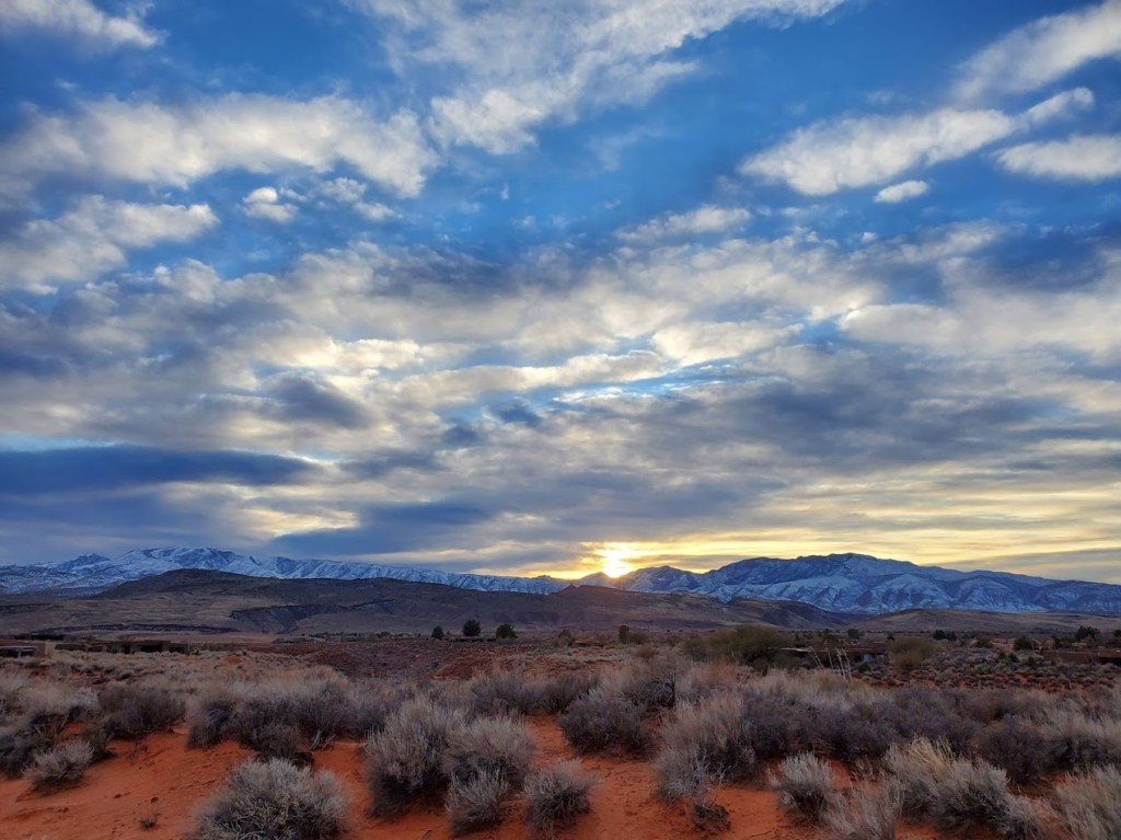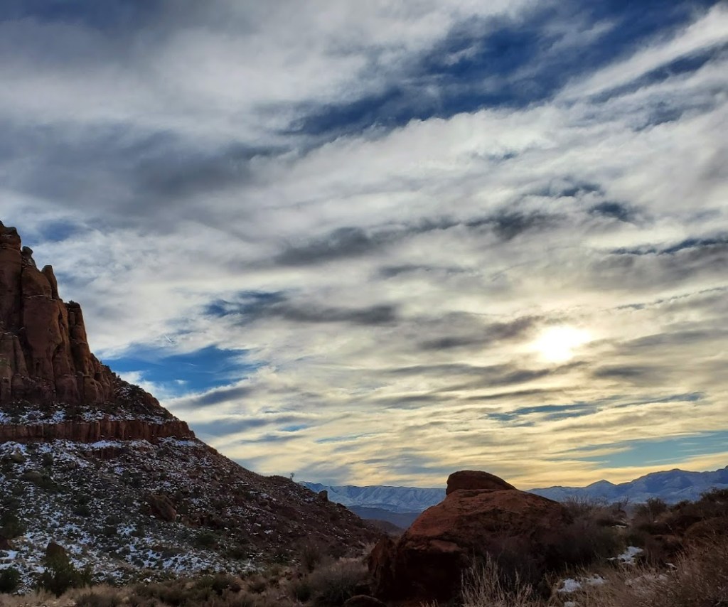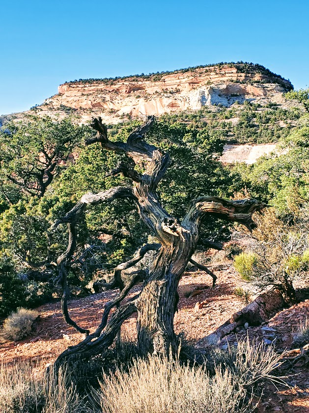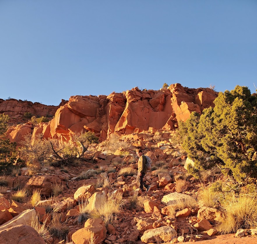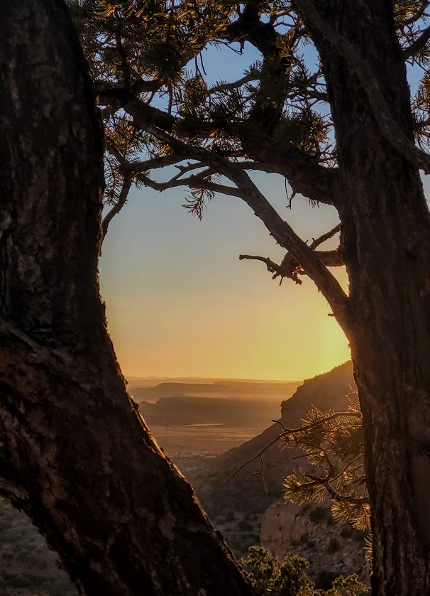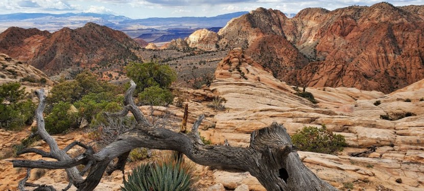
Short and splendid, this incredibly scenic area features a waterfall, a creek, a slot canyon, a cave, a mini-rock / rope climb, cliffs to scale—oh, my! So much is the span of a short out and back trail (2 miles total). It’s like a mini-Zion. The bad news is that it has the crowds to match. (Sigh.) (Reality pic is the last one in the slide show.) Thankfully everyone is respecting the natural beauty and leaving no trace. The good news is that solitude it just an upcliff scramble or mini-rope rock climb away…
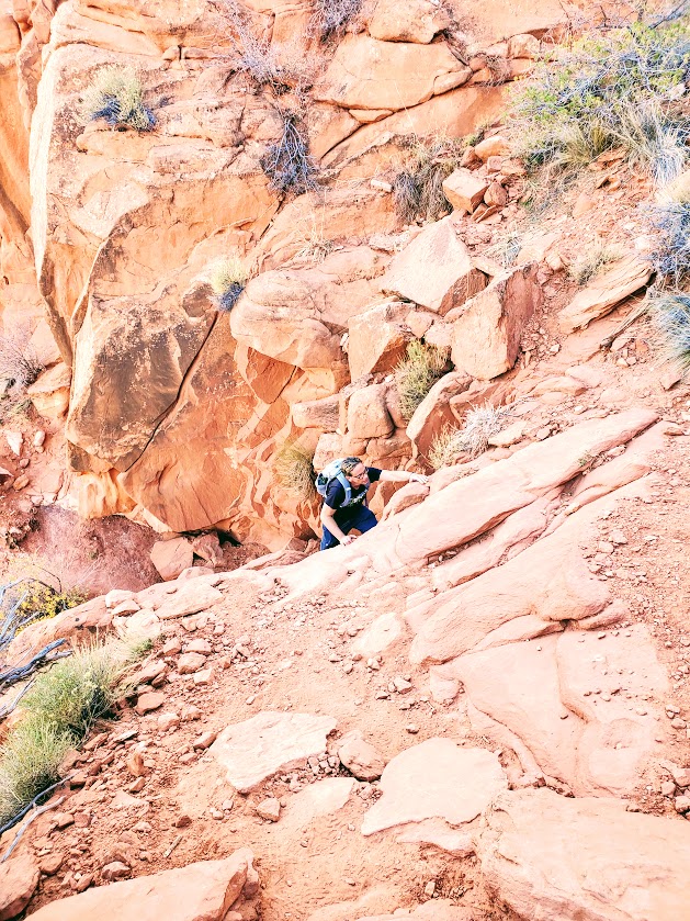
My friend, Robin, easily managing the moki steps in the pics below – looks more treacherous than it is.
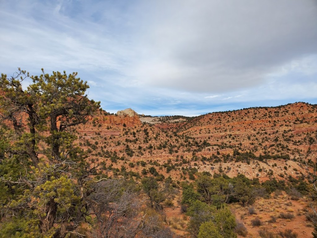
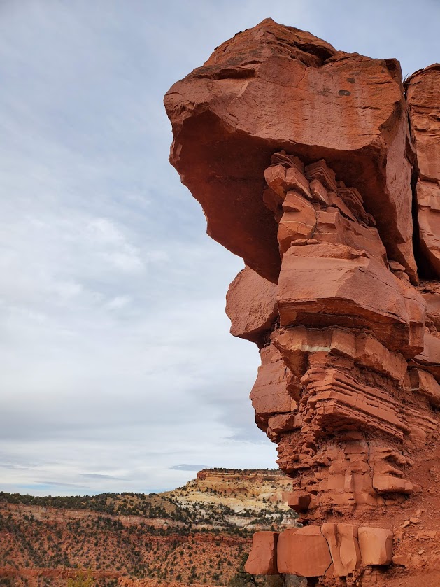
Beyond the Moki steps, you’ll find more scrambling “opportunities” and more great views.
Getting there: Exit 22 towards UT-228 N, right on old highway 91 to the Red Cliffs National Conservation area
Difficulty: Easy, but rocky terrain in wash (lower trail), sandy terrain (upper trail)
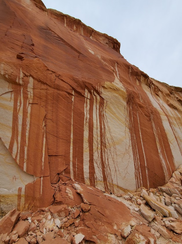
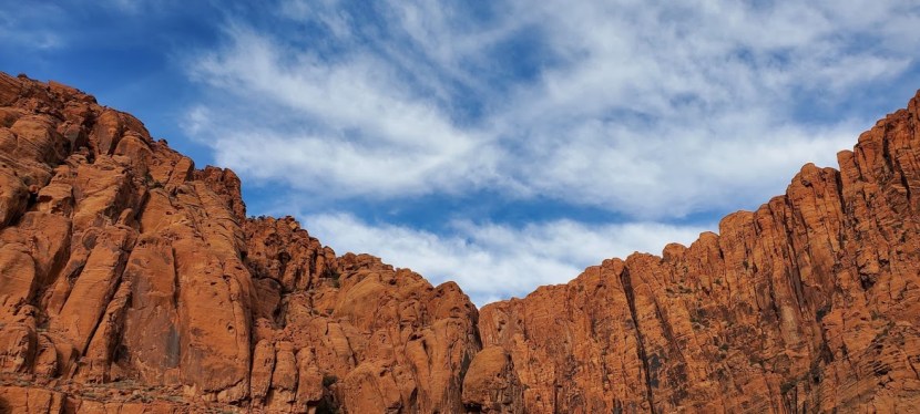
Magnificent red mountain views, panoramic vistas, and the possibility of waterfalls await. After a recent rain or snow, if the timing is right, and you’re lucky, you just might sight one of the rare and wonderful waterfalls.
You can take the lower wash trail and navigate a continuous rock field or you can take the sandy upper trail above the wash. For variety, take 1 out and the other back. Once you’re on top of the ridge, stop and listen for the sound of water, look carefully and closely at the dark veins running down the red cliffs. Watch for movement and light reflecting.
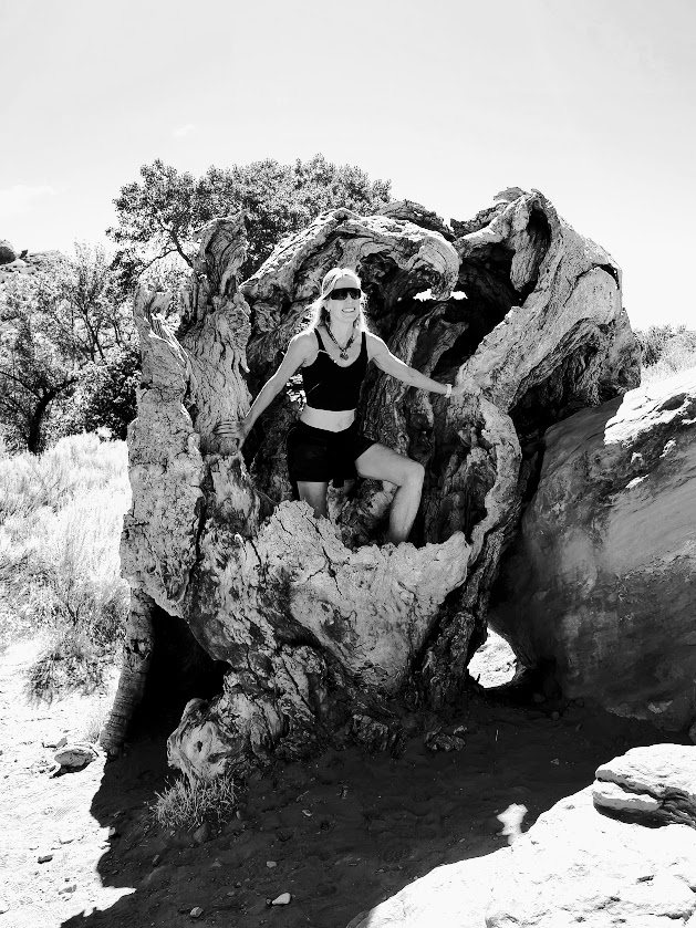
Continue hiking to very back of the canyon for some bouldering and scrambling fun. Be safe!
Notes: Exposed hike, best enjoyed in Winter, Spring, Fall
Getting there: Park along 779 Taviawk Dr, Ivins, UT
Difficulty: Moderate + due to steepness and fickle footing
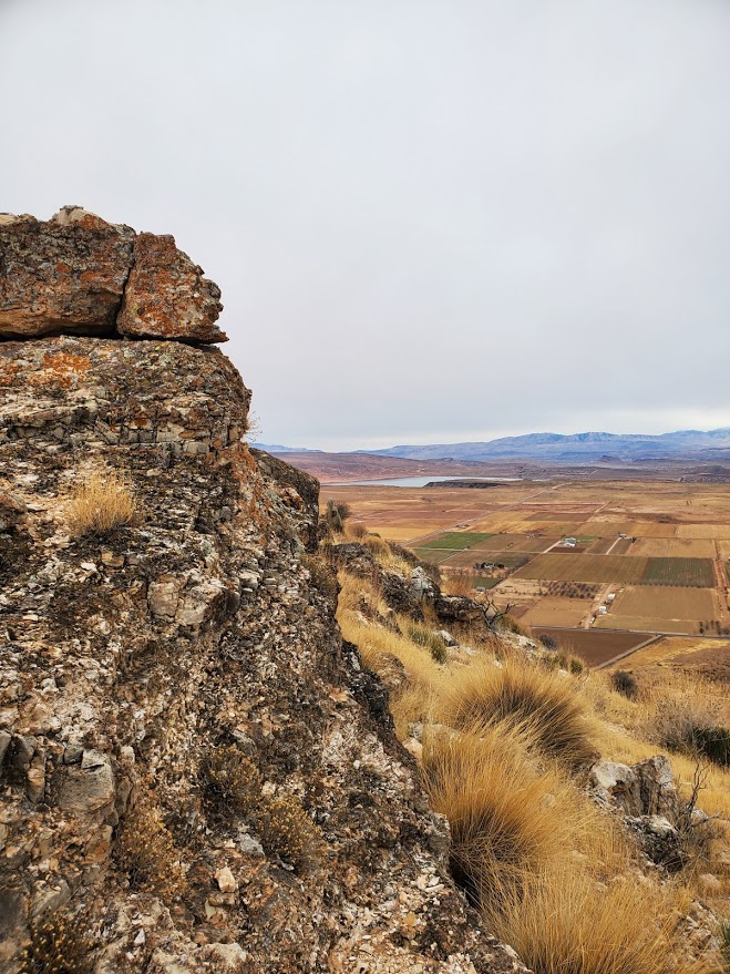
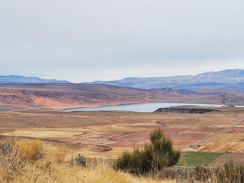
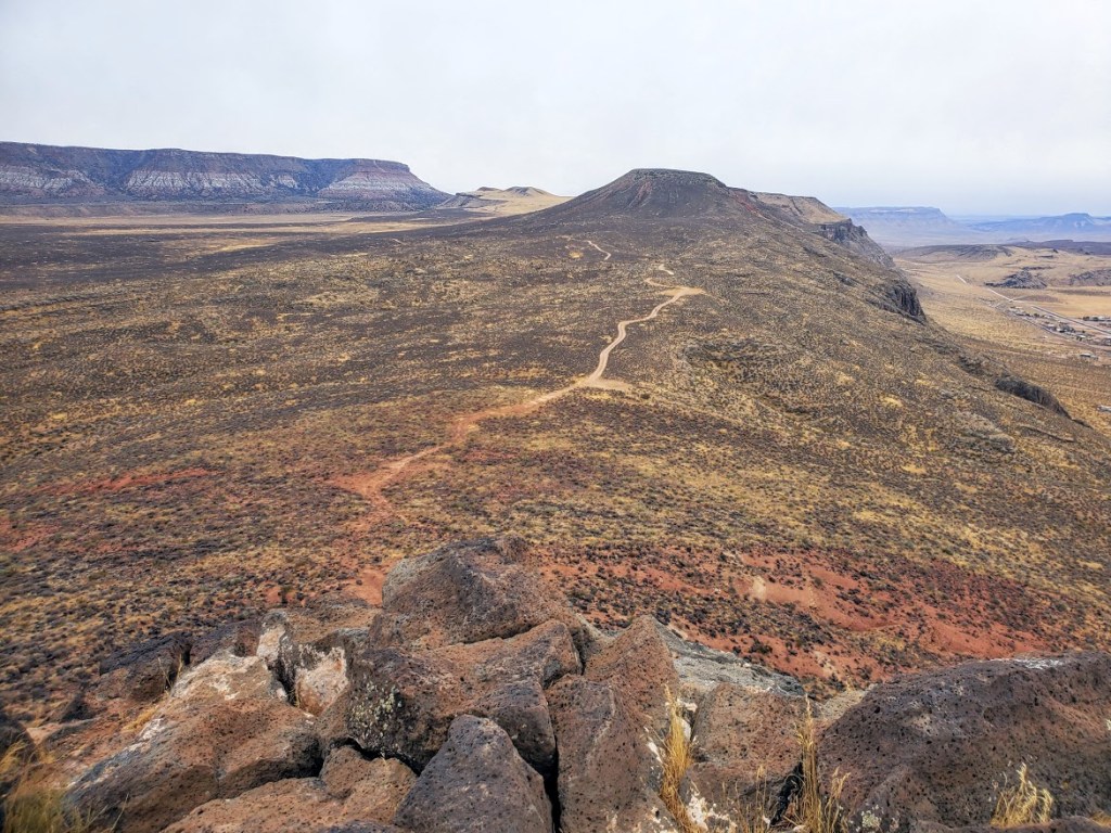
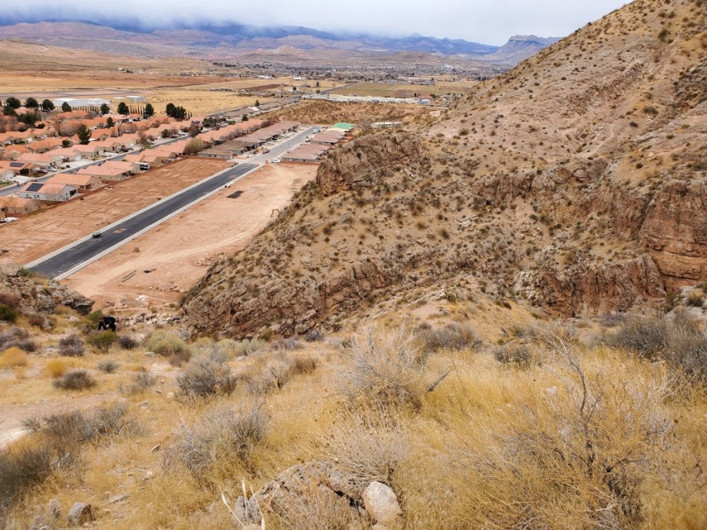
This suburban quickie is worth a scramble for the views and the workout. I didn’t catch it on a clear day, but the panoramic views were still quite expansive. The trail climbs steeply up out of the growing subdivision. I recommend hiking boots – the more traction the better as it’s all loose rocks and sand that rolls like marbles under foot. Not recommended in the rain, unless you want to take a slide down the slippery slope. There’s a cool wash area at the bottom and further up the road, there are some interesting caves to explore…
As John Maxwell says, and those who know me, know I agree wholeheartedly, “Everything worthwhile is uphill, EVERYTHING.” So get some good incline in today!
Difficultly: Easy to moderate depending on your fitness level (1 easy scramble required midway)
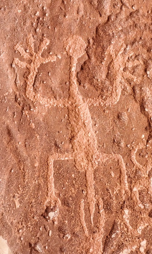
I loved this little hike. A feast for the eyes and spirit–the vermillion cliffs, the white rocks, the green pines and Bristlecones, the incredible rock formations along the way, the sweeping views of Kanab and the plateaus of northern Arizona, and the big reward of the magnificent alcove with its amazing petroglyphs. The single-track, switchback trail is red dirt most of the way up and thick, fine sand for the last 1/2 mile – great trail running terrain. If you’re in the Kanab area – it’s an absolute must do! Perhaps you can see why…
Notes: No permits needed. Free parking. The petroglyphs date back to the Anasazi period 0 AD to about 1250 AD and are on the floor of the alcove. Take care not to touch or step on any of the ancient art as oil from your hands or your pets’ paws can destroy the petroglyphs.
Getting there: The trailhead us just 6 miles east of the center of Kanab at 4825-4826 Rock Edge Lane
Elevation gain: ~2,600 ft of climbing (the climb up Snow Canyon alone is 4 miles, 4% grade, and 1,450 ft elevation gain). Clockwise or counter clockwise – either climb Snow Canyon or “The Wall”
Highlights: Gunlock Reservoir, Snow Canyon State Park, Veyo Pie shop, cinder cones, horses, cows, goats, deer, hawks, quail, road runners, and not a single stoplight (though I once had to slow to let some free range cattle cross)
This incredibly scenic, well-marked route has the distinction of being the 1st official designated cycling route in Washington County, UT, it takes you through the towns of Diamond Valley, Dammeron Valley, Veyo, Gunlock, and Ivins. The Vejo Pie Shop is a an opportunity to refuel and indulge in a piece of their famed pies or pastries. The loop is a popular training route for triathletes for the Ironman 70.3 St. George and it was part of the full Ironman St. George course and the recent “Tour de St. George” century ride. I’m so fortunate to have this spectacular ride as my local “go to” ride. If you’re a road biker, this is a must-do if you’re in the area.
Notes: Snow Canyon State Park has an entry fee of $10 for locals/ $15 for out-of-towners; you can also bypass the park and climb or descend the 18 highway instead. There’s a bike path that runs parallel to the 18 northbound; the hills are quite a bit steeper than the highway (knee grinders). For the most part, there’s ample room on the highway, but there are 18-wheelers and trucks with trailers whizzing by so it’s not for the faint of heart…Also, be forewarned there’s a fair amount of debris on the roadsides – glass, steel radial, etc…Be prepared, bring your tough tires and a couple of tubes, Co2s, a hand pump, and plenty of water, especially in the summer. Enjoy the ride!