Difficulty: Easy—“walk in the park”, perfect trail running terrain, very gradual incline
Length: ~8 roundtrip
Elevation: 1,155 ft
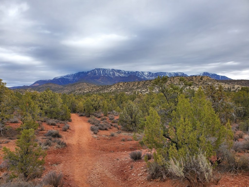
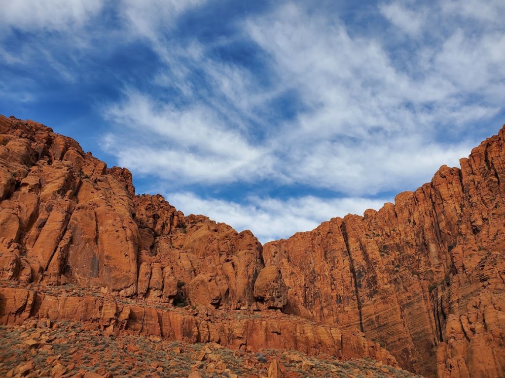
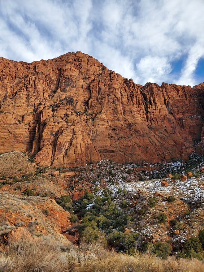
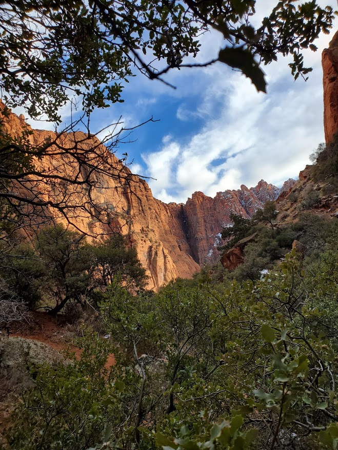
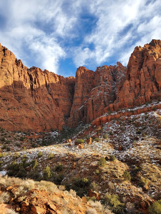
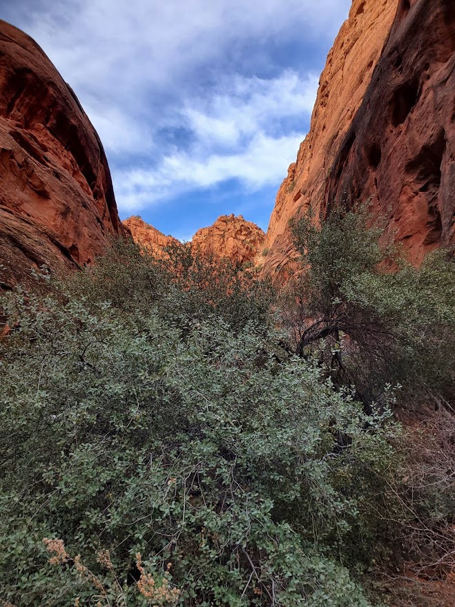
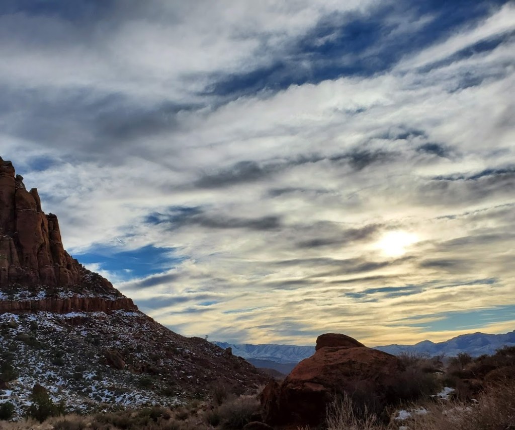
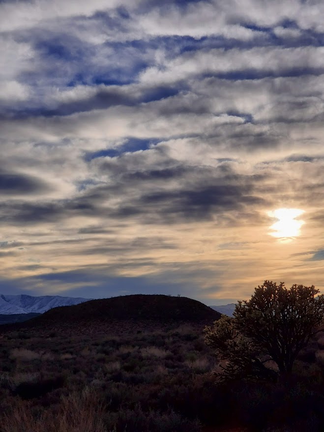
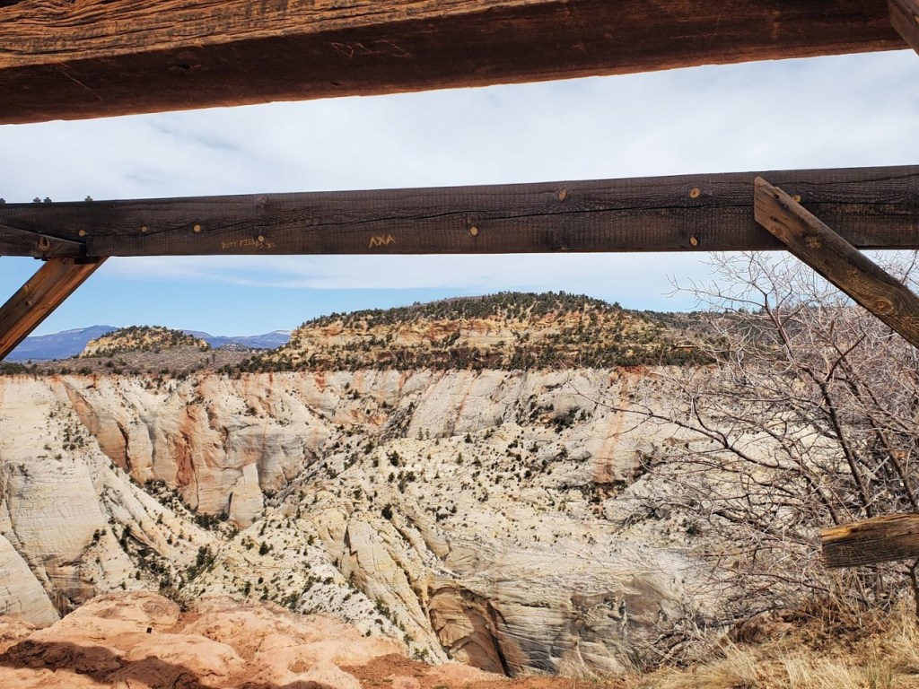
Take a walk on the East side of Zion for fewer humans and similar vistas. There are a couple of different trails to Cable Mountain. I opted for the Stave Spring Trailhead route this time. It’s a pleasant hike on smooth, foot friendly terrain through a recently burned ponderosa forest that yields big views and historic remnant rewards at the turnaround point. (Not much to see along the way.)
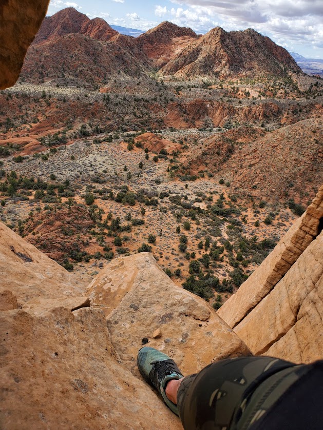
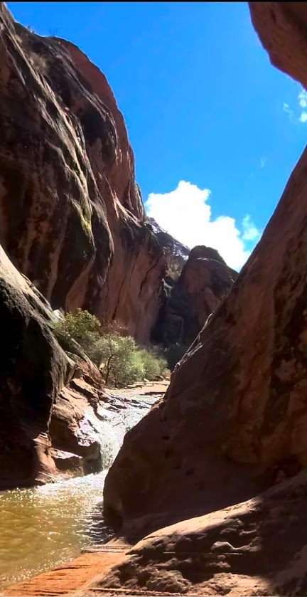
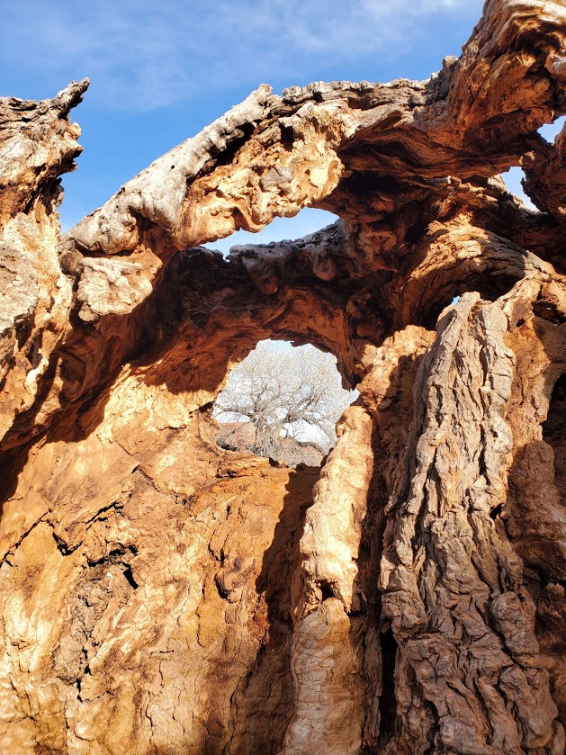
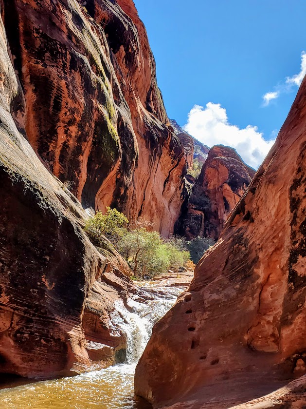
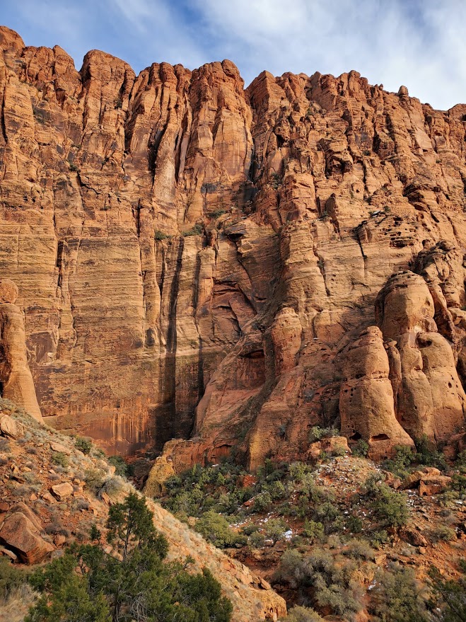
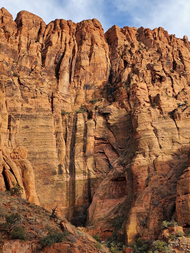
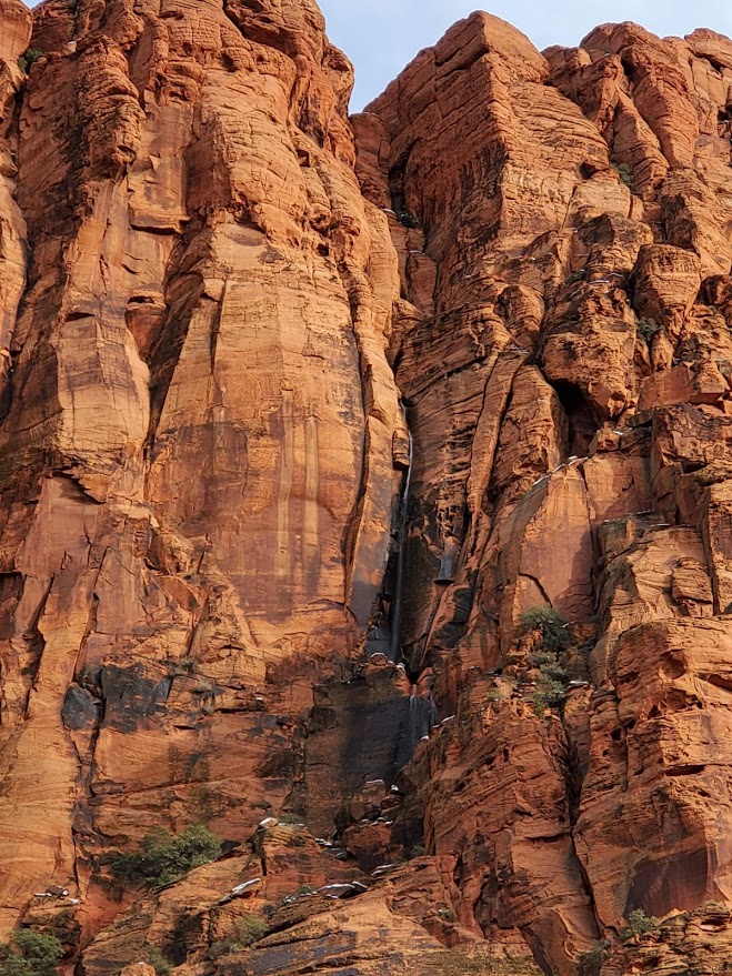
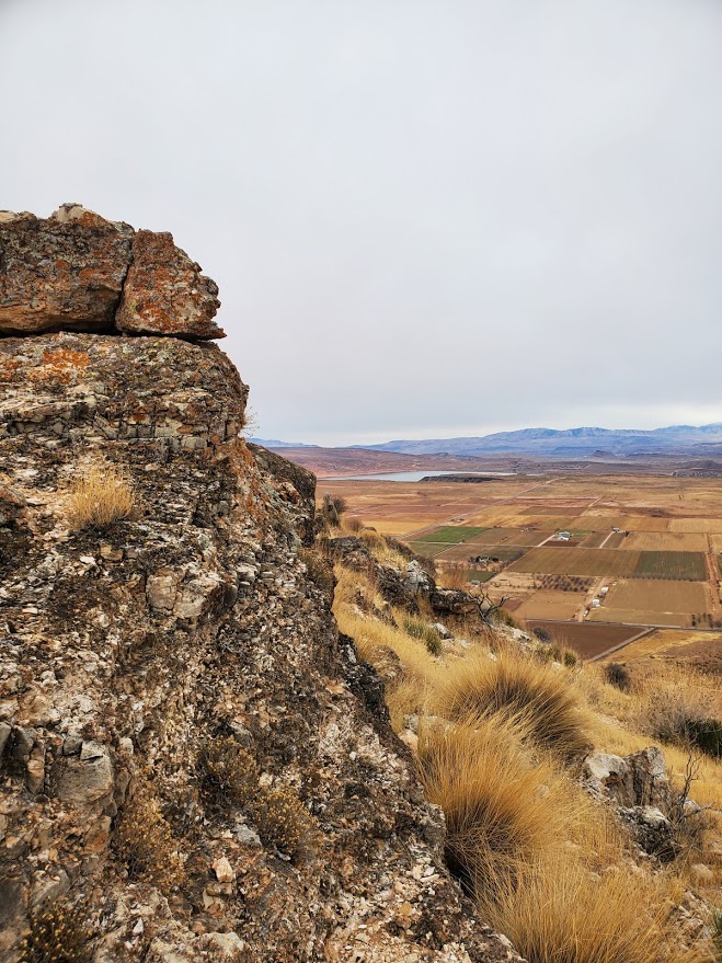
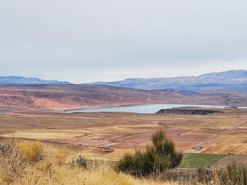
Highlights: Vertigo inducing views of Angel’s Landing, Observation Point, and of the water below winding its way to the North fork of the Virgin river. You’ll also find remnants of the Cable Mountain Draw Works. Listed in the National Register of Historic Places, the structure was an aerial tramway used to move lumber and timber off Cable Mountain and down to Zion Canyon from 1901 to 1927.


Takeaway: You get a similar view payoff as Angels’ Landing (and a view of Angels’ Landing) without the big incline, crowds, and the life-risking part…
Getting there: East Zion, go through the park tunnel and follow the signs for Zion Ponderosa Resort. Make a left onto the dirt road that goes by the Resort and follow the signs for Cable Mountain.
Note: Dirt road and trail conditions will vary with rain or snow. It is doable by car, but beware: There’s a huge dip right before the trailhead parking, so proceed with caution (if your vehicle has the mojo) and /or park just prior.
Hiker tip: (Hardcore hikers might find this hike a bit too easy and a bit too bland, except for views at the turnaround point. Great for casual / beginner hikers who want to challenge their distance.) There are options to add mileage and elevation gain for those who are looking for more than a “walk in the park,” including other connector hikes from this trailhead. More on these later…