Zooming around the Zabriskie Point Loop, Death Valley National Park

Miles: ~7, options for additional explorations along the way in Gower Gulch, Gold Canyon, and Red Cathedral. You can also take the shorter, easier Badlands Loop (2.5 miles) for a quick immersion. If you’re not up for a hike, you can take the ¼ mile walk up a hill on a paved path to the lookout.

Elevation gain: 827 ft

Difficulty: Easy to moderate, depending on your fitness level. The trail is “runnable” when crowds are light.

Rated # 3 top hike in Death Valley National Park.

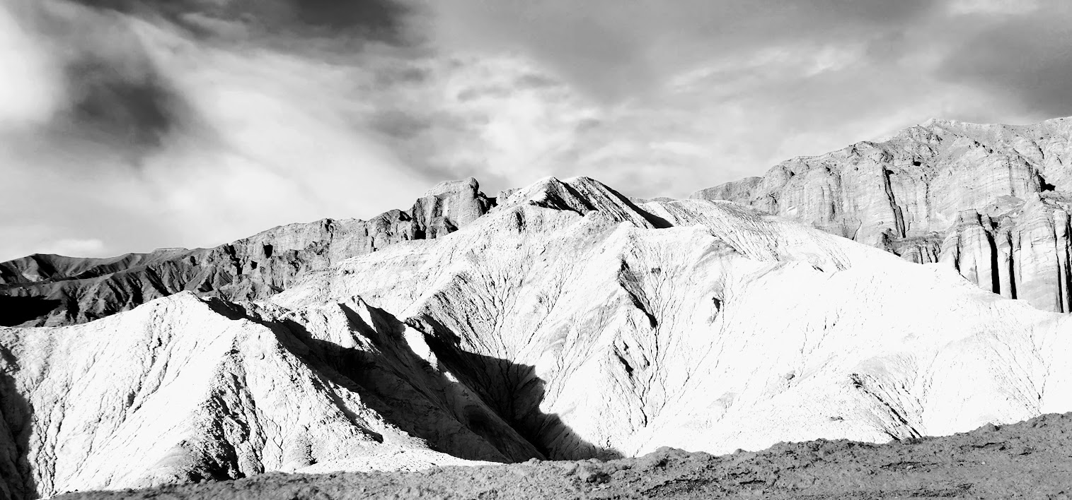
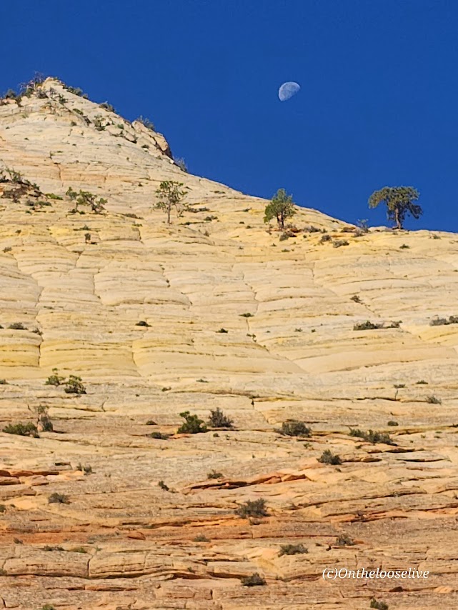
Among the most photographed spots in Death Valley National Park, Zabriskie Point boasts expansive views of yellow and brown striped hills, the badlands and salt flats beyond, and the Eastern Sierras in the far distance. Great for sunrise and sunset pics! I got there just before sunset so made it a fast zoom around. I’ve explored Golden Gulch before that’s worth it too!

The dance of light and shadow on the stark dramatic landscape is compelling in color and black and white. It’s obvious why this area was one of Ansel Adam’s favorite photography playgrounds.

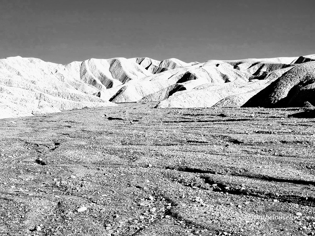
If you look closely at the picture on the right above, you can see the trail tracing its way up to the ridge.

Fun Fact: Death Valley is the hottest place on earth and the lowest, driest place in North America.

Getting there: The Zabriskie Point lookout and trailhead parking lot for both Badlands and the Zabriskie loop is a 15-minute drive East on Highway 190 from Furnace Creek Visitor Center.

Happy Trails!

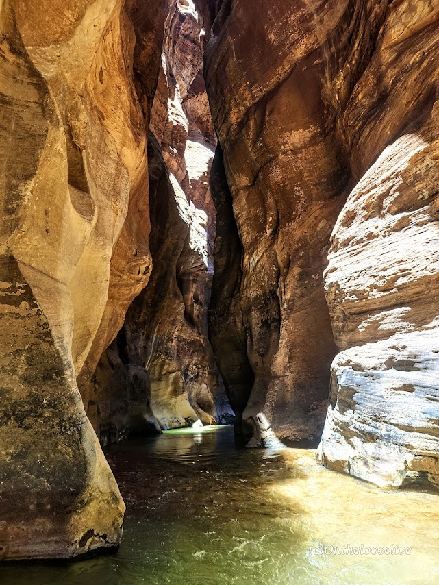
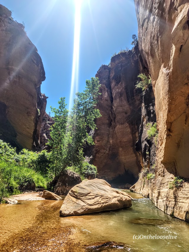
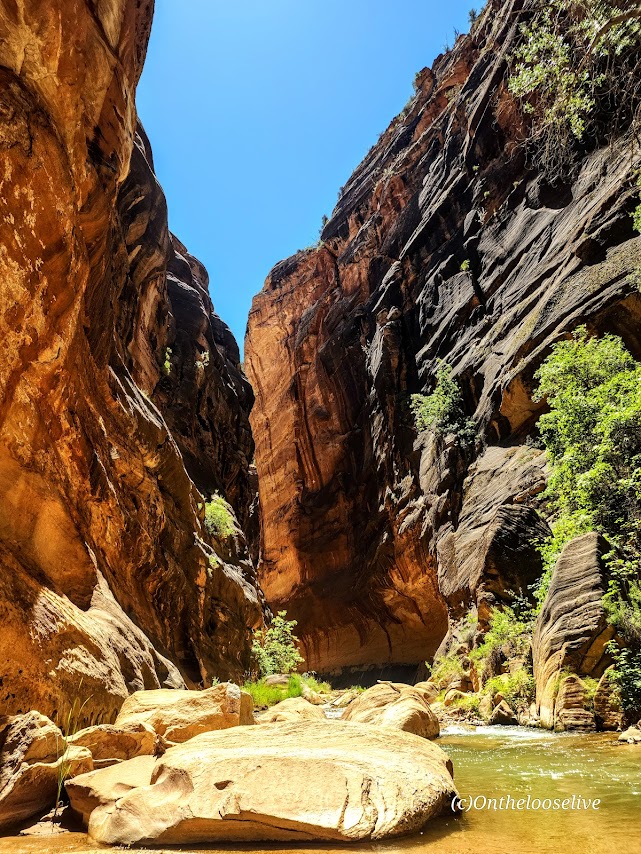
Backcountry Zion—Magnificent. Magical. Mesmerizing.

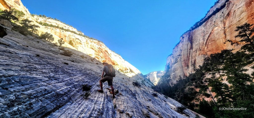
Challenging and strenuous ~16 Miles RT, including some sketchy scrambles, several slick rock traverses, and multiple MILES of exposed DEEP SAND SLOGGING. (Explains why no other humans are present.)

The scariest part was getting my phone wet despite it being in a dry bag and it blacking out. I feared the worst. Not really caring about the phone itself, but the prospect of losing all these hard-earned photos and videos!

My bliss—splendid solitude and immersion in the sublime natural beauty!

Excellent navigation skills, a GPS, First Aid kit, water, and a water purifier are essential for backcountry adventures.

Lucky for me, one of my best hiking buddies is an experienced backcountry guide who is always prepared for every eventually, including me forgetting my water back at home in the fridge.

He always points me in the right direction.

Happy Trails!
PSA: It’s the season for heat exhaustion and heat stroke. Play it safe— avoid hiking in the heat of the day on exposed trails. Wear sun protection—sunblock, hats, and light clothes with SPF and bring plenty of water and a water filter!

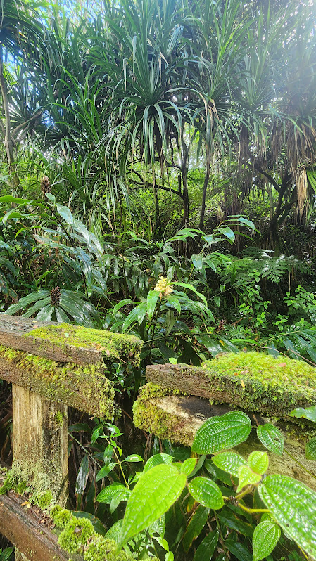
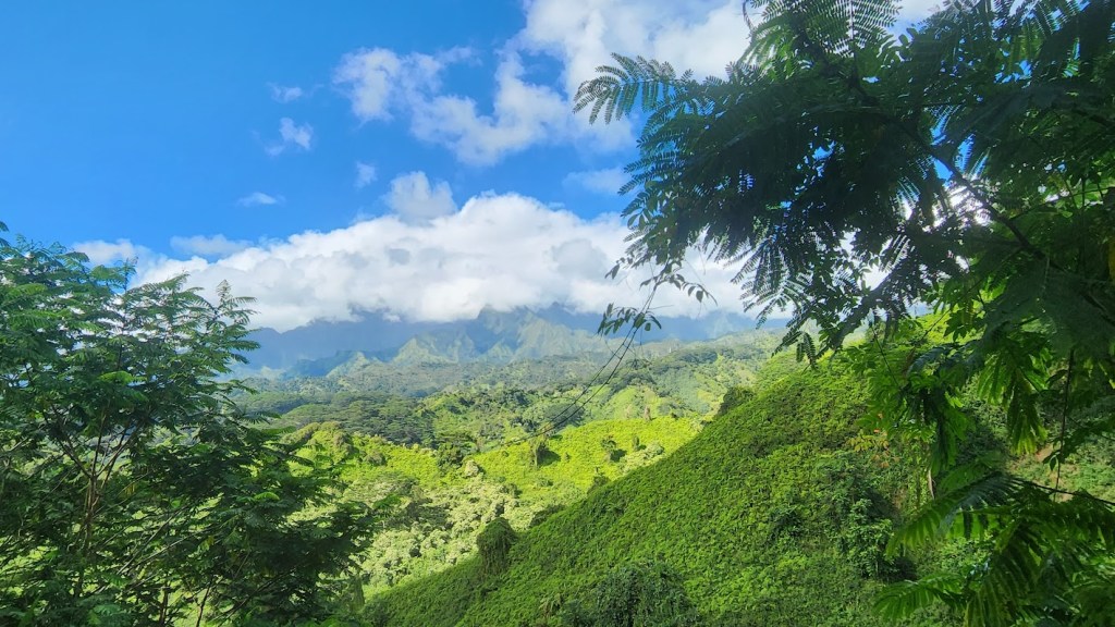
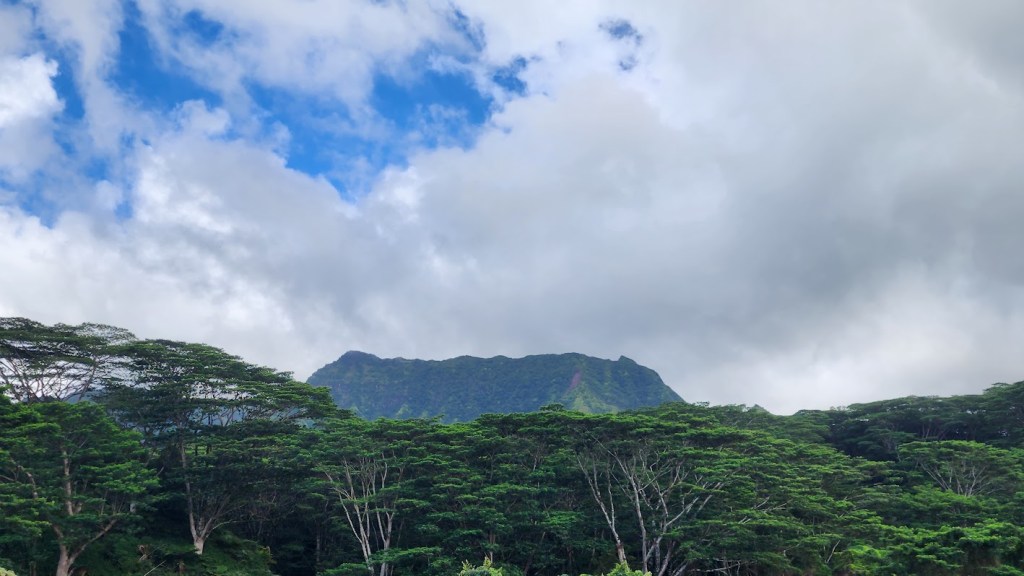
Kuilau Ridge Trail —Absolutely Kool With Outstanding Views, Kauai!

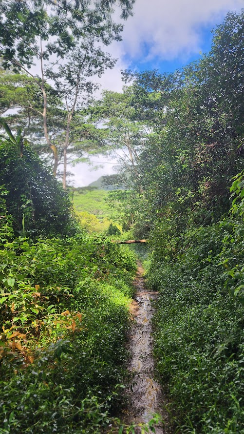
Difficulty: Easy to moderate, depending on your fitness level and the last time it rained. As with most trails in Kauai, it can be a slick, slippery, and treacherous mudfest.

Elevation gain to the 2.5 mark: 915ft, it’s gradual and friendly

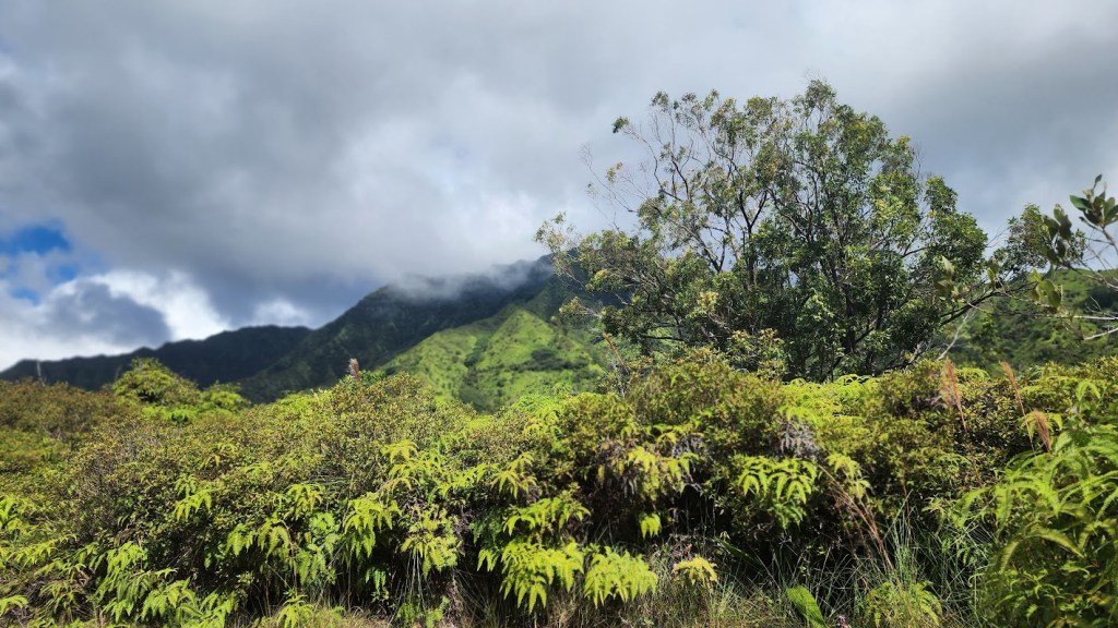
Mileage: ~4+ out and back you choose the distance, car shuttle to Olohena Road for ~8 miles , or don’t for ~16 miles) My understanding is the best views are from the Kuilau approach vs Olohena Road so if you only have time for a shortie, go with Kuilau. It was spectacular, quintessential Kauai mountain scenery,

Terrain: Ranges from fire road width gravelish surface to single track, slippery slide.

Videos to come

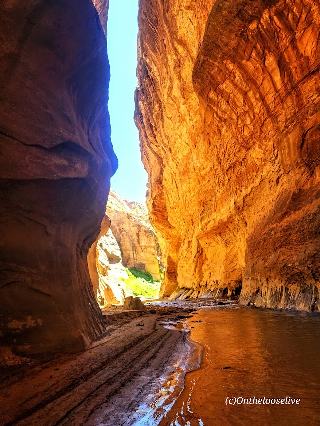
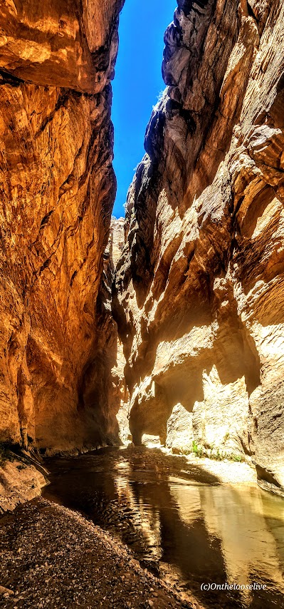
Exploring a “Little” Known “Wild” Slot Canyon

Yep, that’s all the clues you’re getting. It’s getting so hard to find that splendid solitude out there, so I’ve decided not to be part of the “problem.” Even though I have zilch for a following —it’s the principle of it. I’ll keep posting the mainstream hikes, but you’re going to have a work a little harder to find these “secret”, less traveled spots. I’m also available for adventure consulting should you desire a personalized “best of” Utah itinerary for your adventures here.

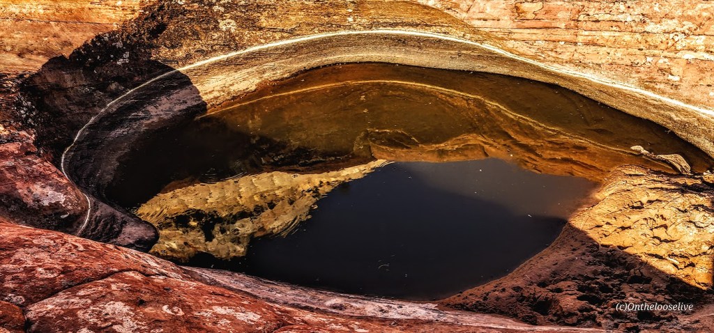
I’m spoilt, I’ve been to many slot canyons in UT, including the world’s longest, the world’s most renown, and perhaps the shortest and wetest(?). Located in the San Rafeal Swell area (another clue), this one had a colorful allure of it’s own. Options there include a loop hike or out and back. The oak trees at the beginning of the hike are quite dramatic.

Happy Untraveled, Untrampled Trails!

Exploring Goblin Valley State Park, Emery, UT

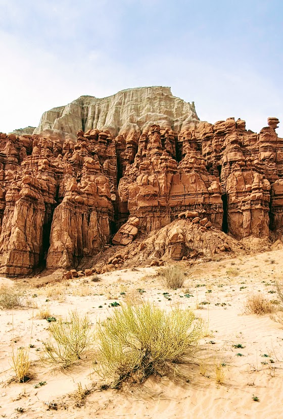
When you arrive at Goblin Valley State Park, you know you’re in Utah, but you may think you’re on another planet. Goblin Valley’s otherworldly scenery attracts visitors and filmmakers alike. The movie Galaxy Quest was filmed here.

While the small park offers a mere total of 6 miles of hiking, you may find yourself wandering for hours through the dramatic, twisted hoodoos, goblins, and rock mushrooms. The majority of the hoodoos can be encountered in the Valley of Goblins, an open free—range hiking area of 3 sq miles.

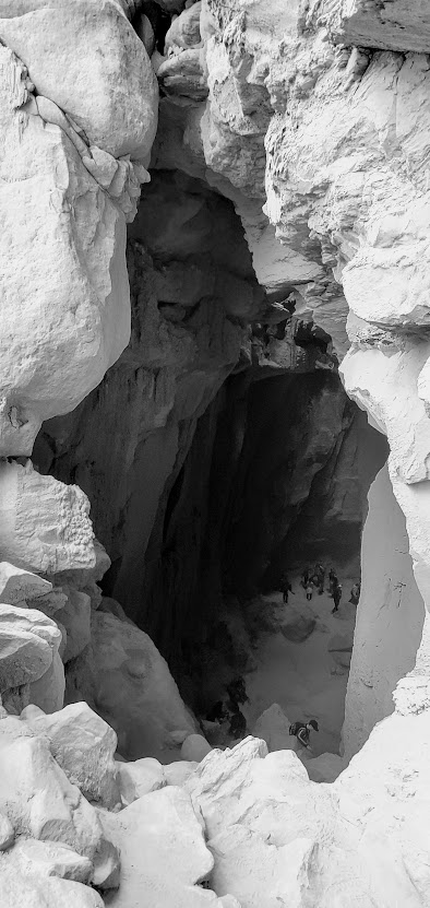
Be sure to check out the Goblin’s Lair (a massive cavern/ slot canyon), the Goblette’s Lair, 3 Sisters, and Molly’s Castle.

If you prefer to take in the unusual views by 2 wheels, you can enjoy the 7 miles of Wild Horse Mountain Biking Trail System.

If you like this sort of thing, you should check out Otherworldly Fantasy Canyon, a roadside geological wonderland, and Caves, Caverns, and Catacombs—Oh My! Cathedral Gorge State Park, Panaca, NV.

Happy Trails!