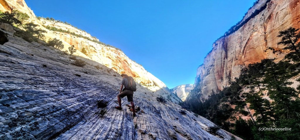
Challenging and strenuous ~16 Miles RT, including some sketchy scrambles, several slick rock traverses, and multiple MILES of exposed DEEP SAND SLOGGING. (Explains why no other humans are present.)
The scariest part was getting my phone wet despite it being in a dry bag and it blacking out. I feared the worst. Not really caring about the phone itself, but the prospect of losing all these hard-earned photos and videos!
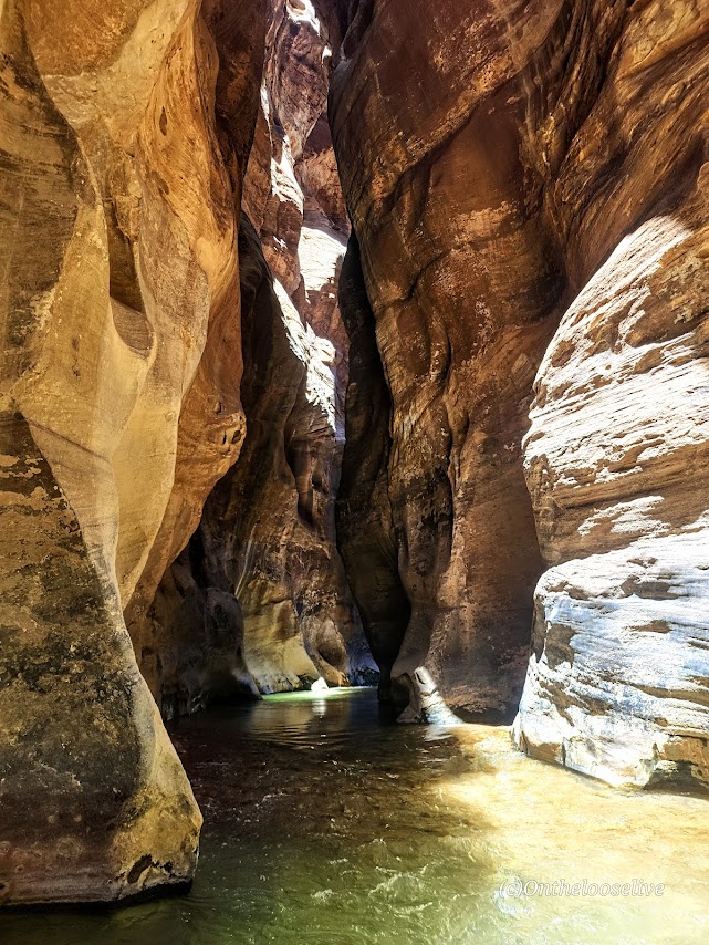
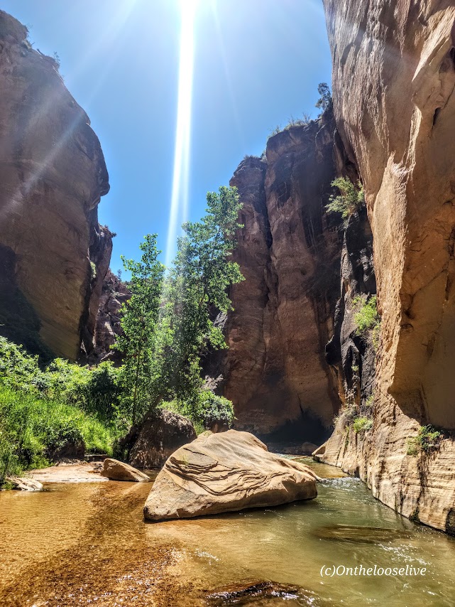
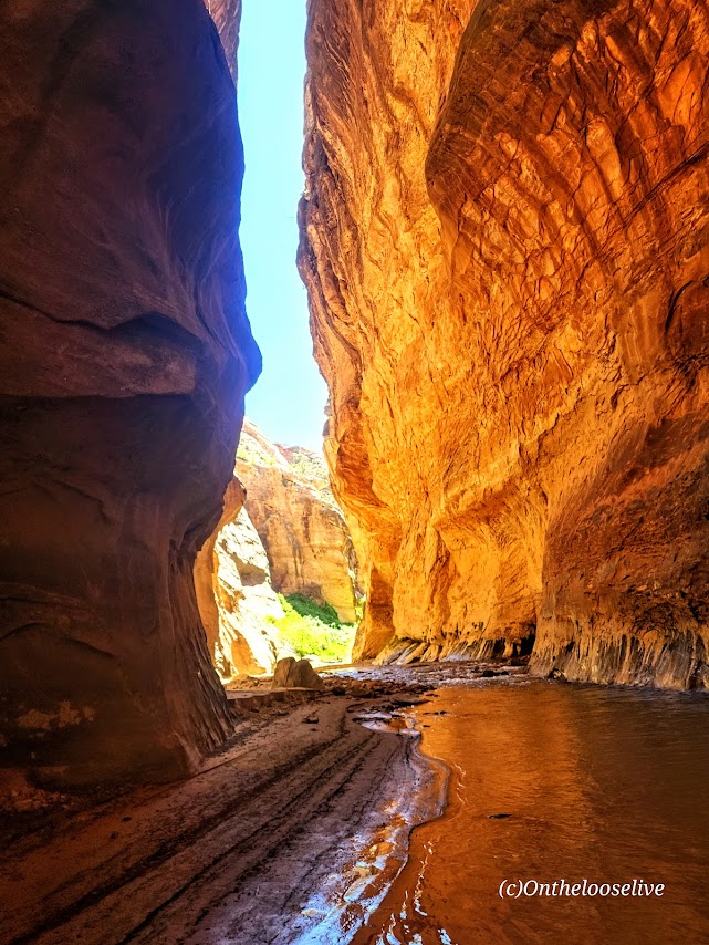

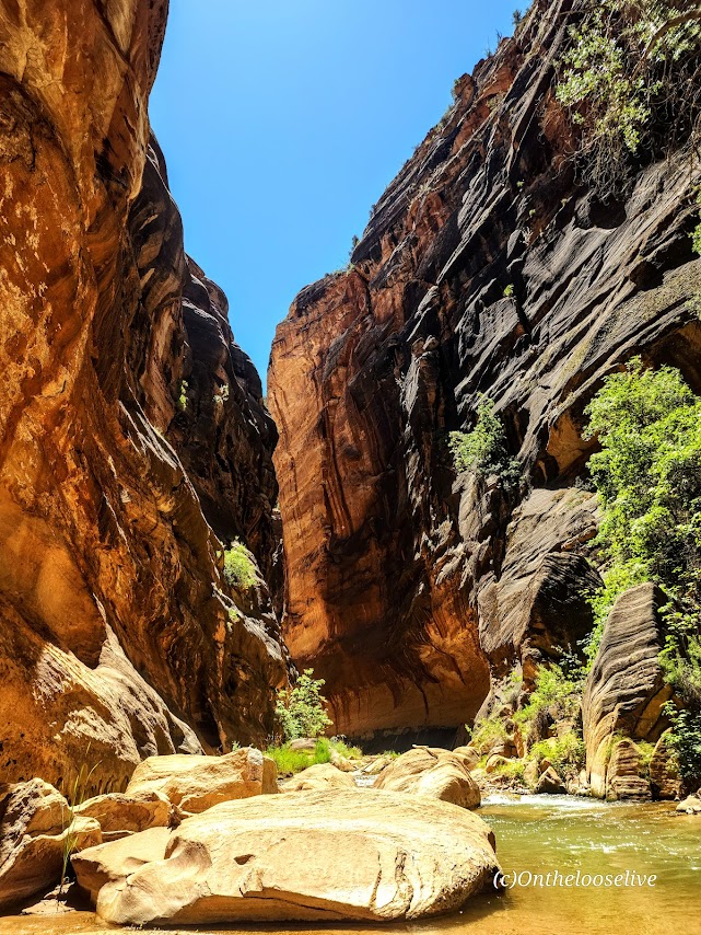

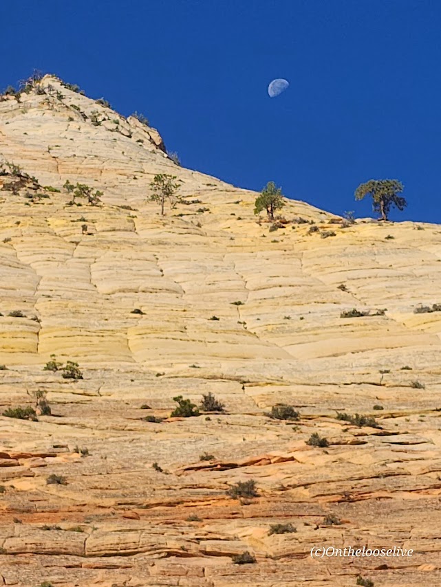

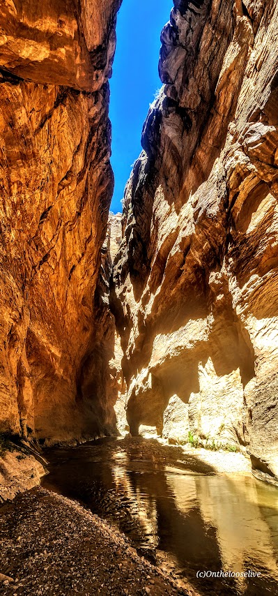


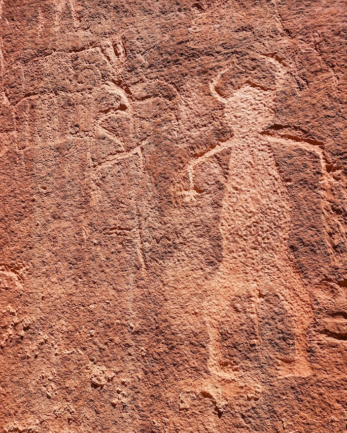
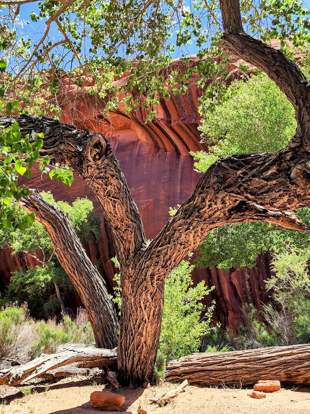
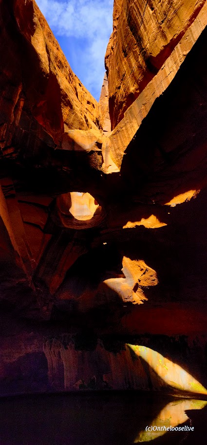
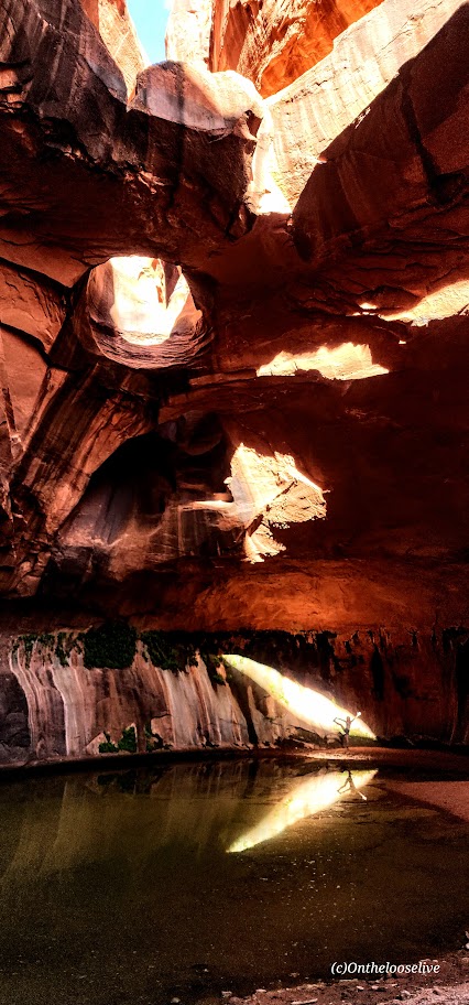
My bliss—splendid solitude and immersion in the sublime natural beauty!
Excellent navigation skills, a GPS, First Aid kit, water, and a water purifier are essential for backcountry adventures.
Lucky for me, one of my best hiking buddies is an experienced backcountry guide who is always prepared for every eventually, including me forgetting my water back at home in the fridge.
He always points me in the right direction.

Happy Trails!
PSA: It’s the season for heat exhaustion and heat stroke. Play it safe— avoid hiking in the heat of the day on exposed trails. Wear sun protection—sunblock, hats, and light clothes with SPF and bring plenty of water and a water filter!