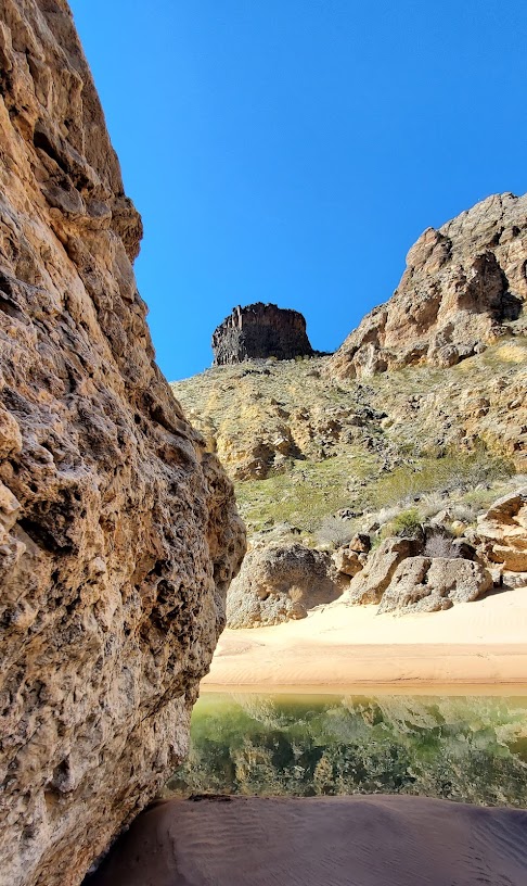
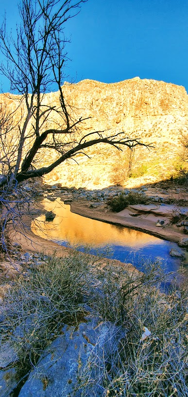
A “Beachy” Stroll in UT: Paria River to the Buckskin Gulch Confluence

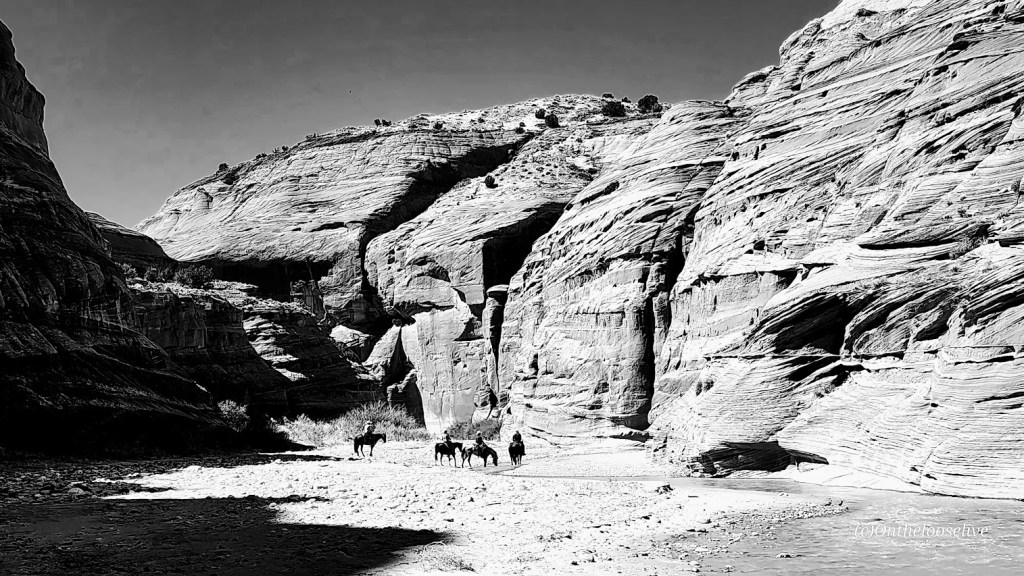
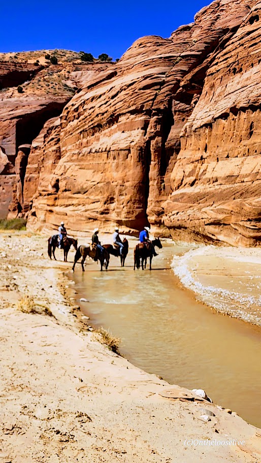
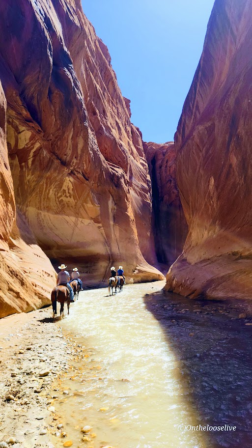
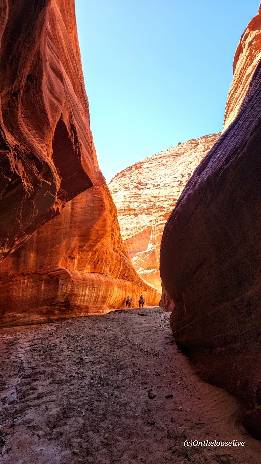
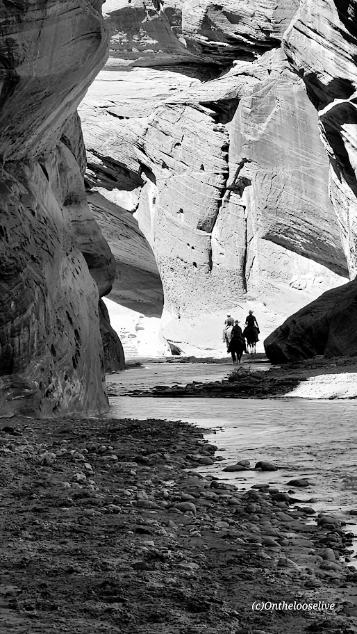
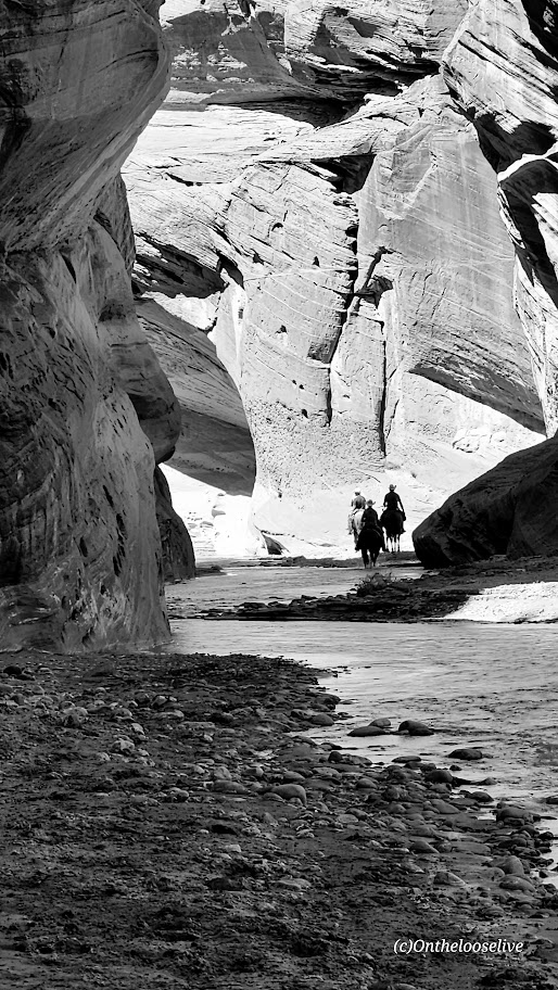
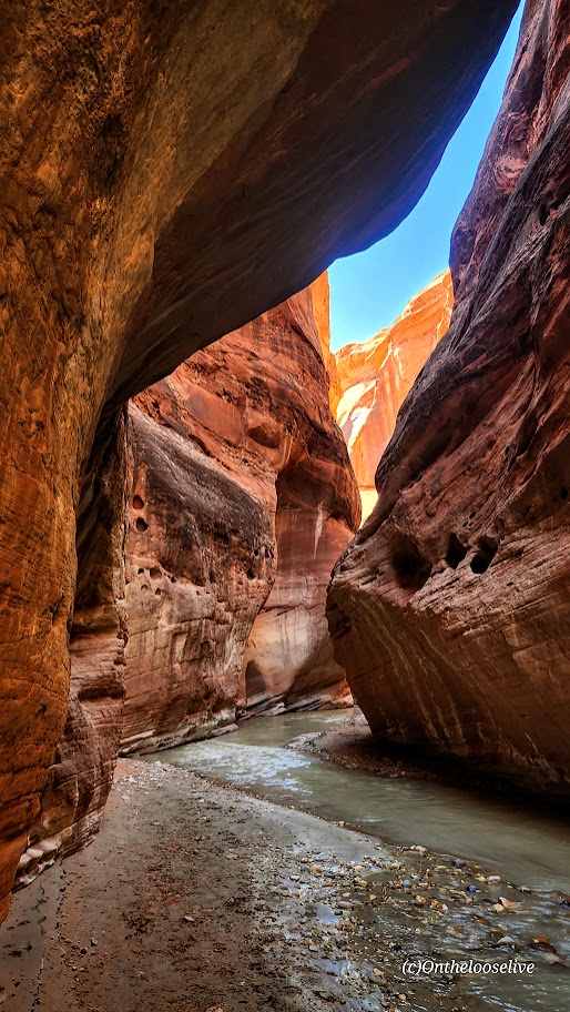
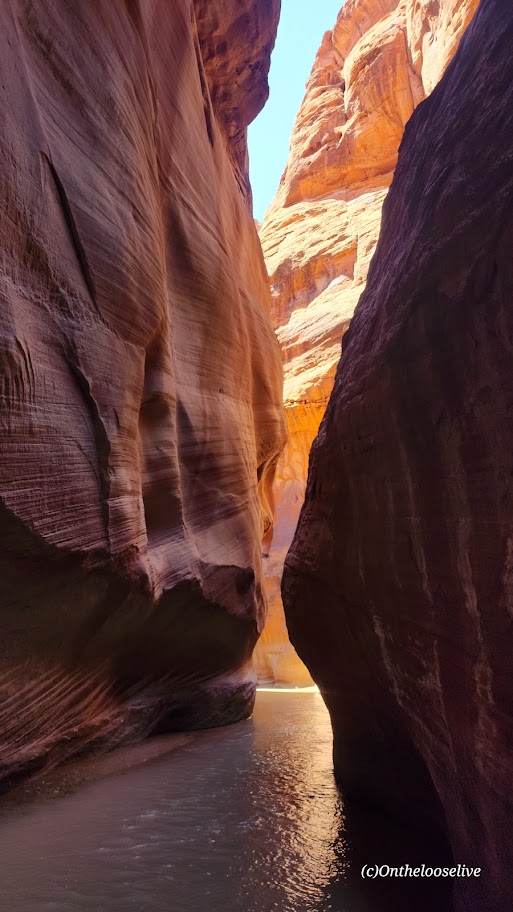
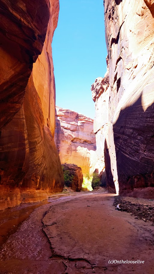
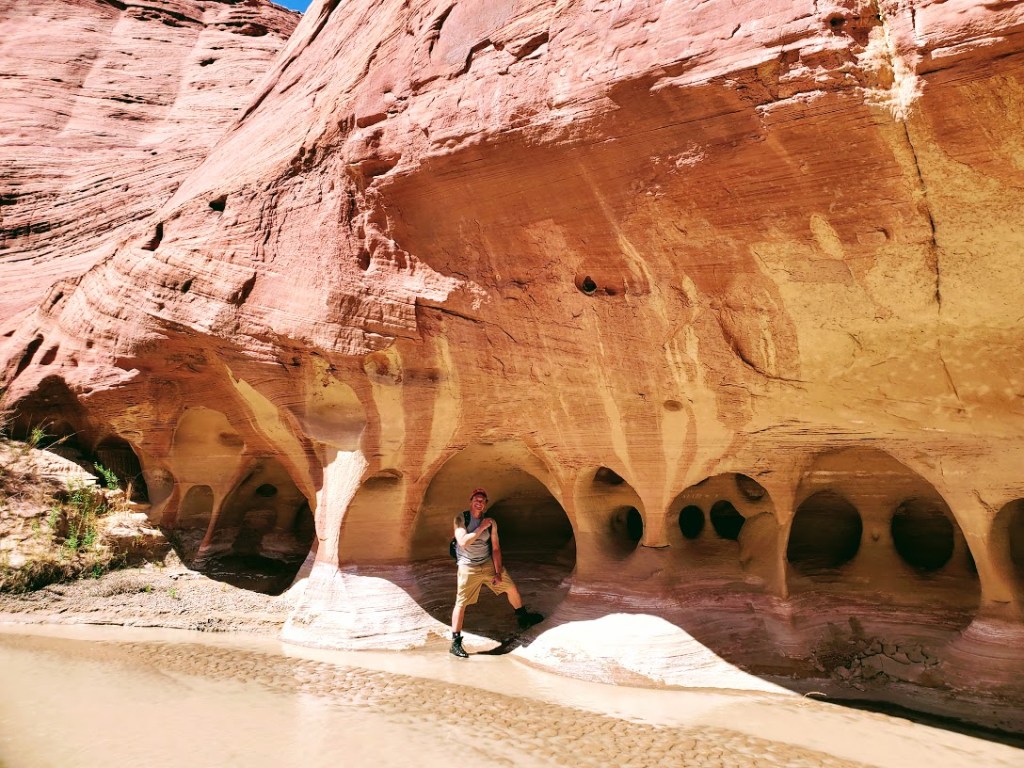
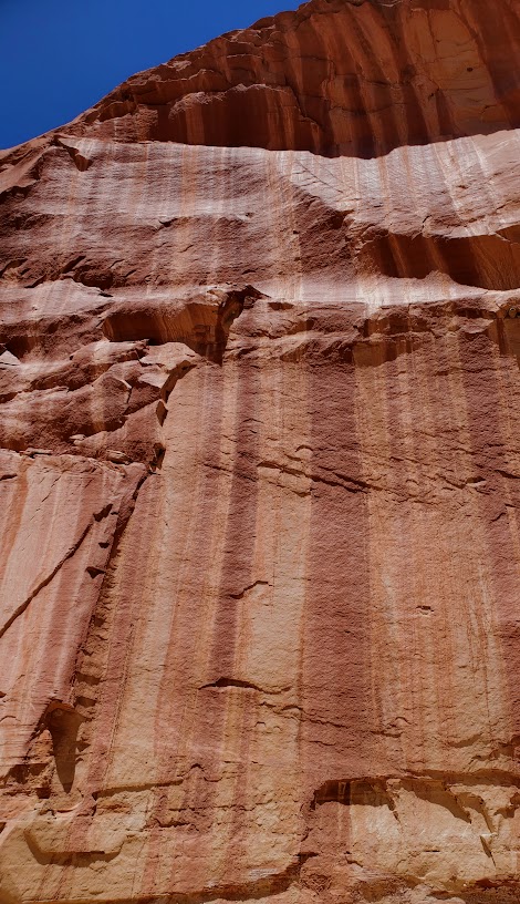
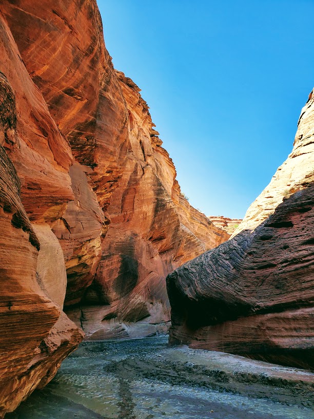
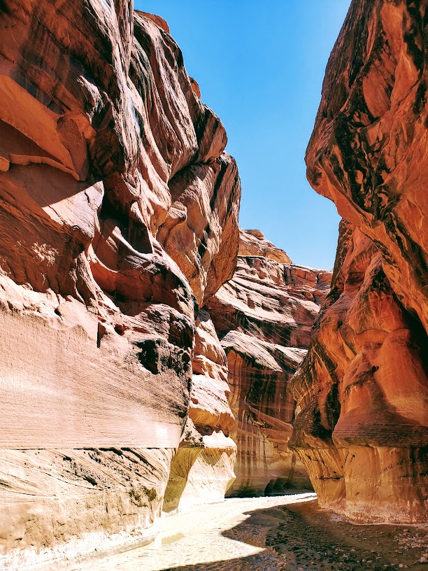
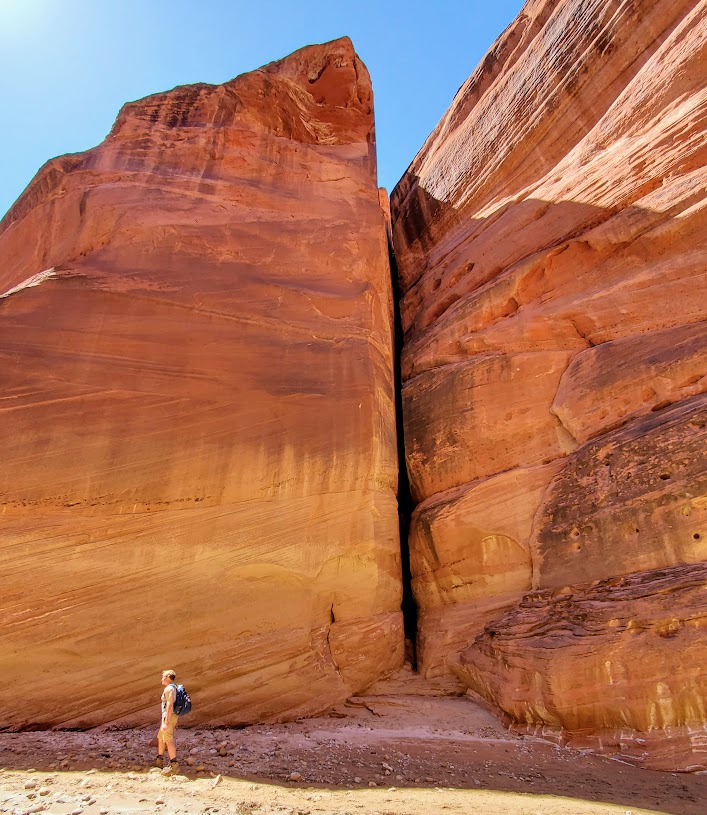
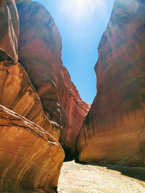
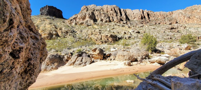
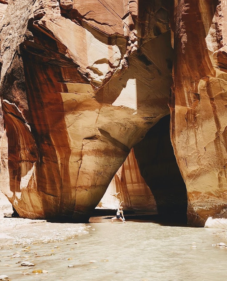
Imagine a walk “on the beach” surrounded by colossal slot canyon walls, the play of shadows and light on their vermillion faces, cool water on your feet, and top it all off with cowboys🤠 on horses 🐎for quintessential Wild West photo ops. This is as close as it comes to a”walk on the beach” hike in Utah. You can stroll up the river any distance your heart desires, or you can make it an overnighter, or a multiday adventure to/from Lee’s Ferry 38 miles away.
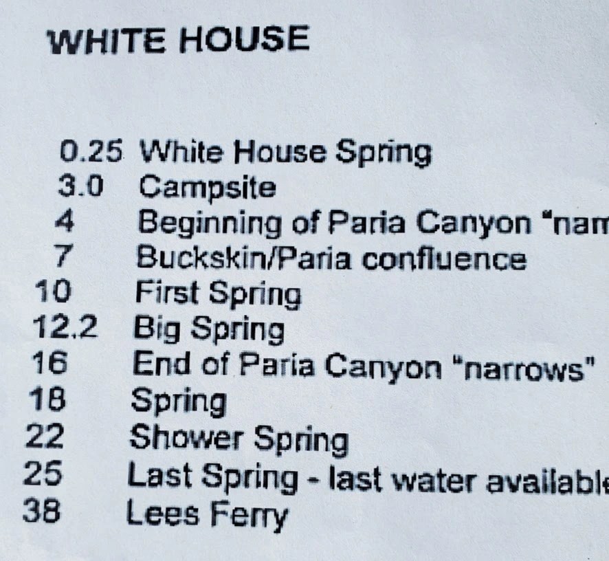
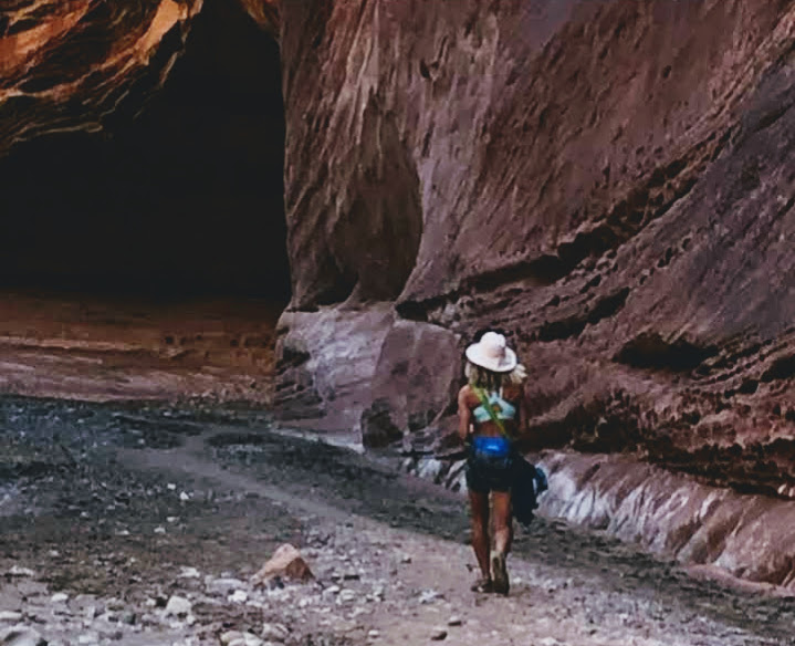
For my second visit here, I hiked up to the Paria/Buckskin Gulch Confluence (14 miles RT) with my friend. We had it almost entirely to ourselves except for the 4 cowboys on horses who kept me “on pace” chasing their equines and photo ops.
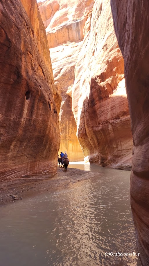
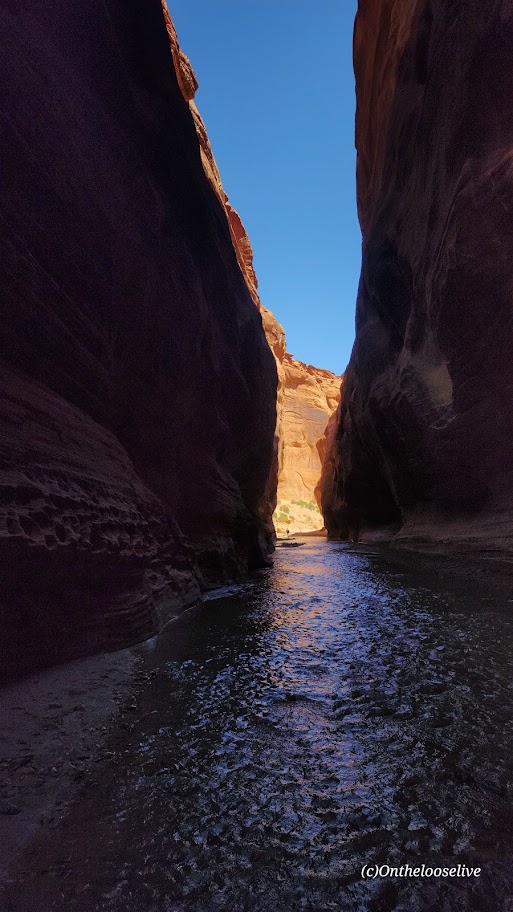
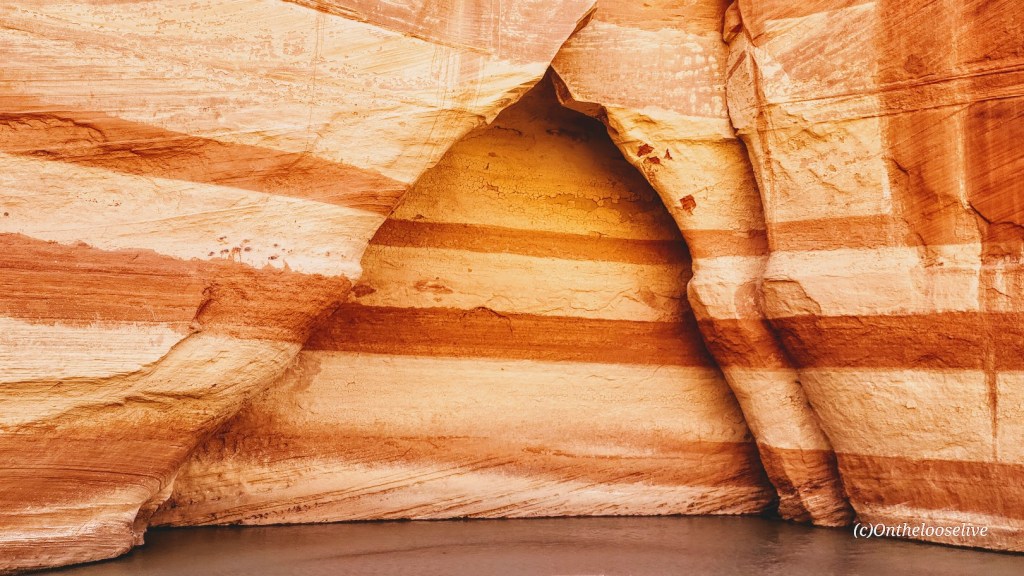
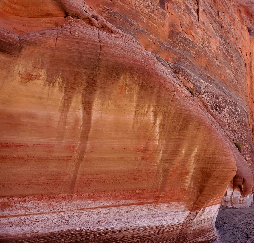
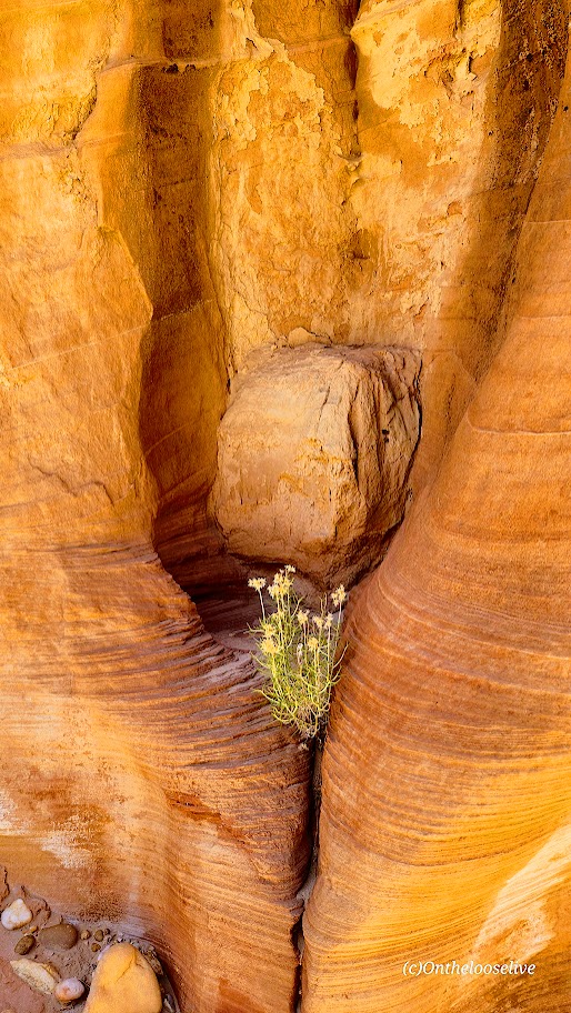
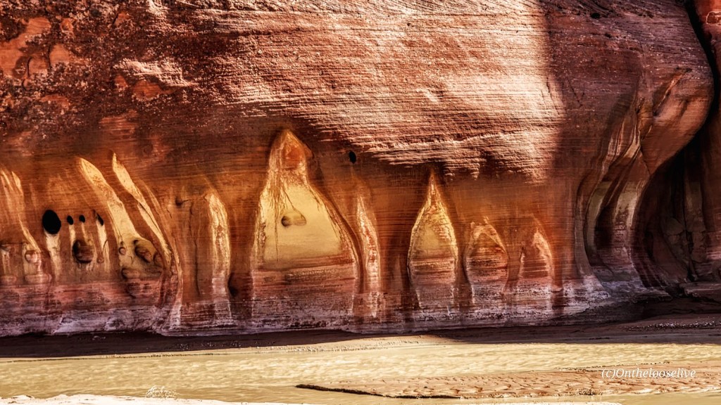
Truth is advertising, you will encounter sand, mud, quicksand, and little to no shade (until you reach the slot canyon ~5+ miles). If you’re prepared for those caveats, you’ll likely find it quite pleasant to meander up the at-times dry, muddy, wet riverbed as you take in the play of light and shadows on the colossal canyon walls and wonder at the strange sandstone formations. Unless there’s been a recent heavy rain, the water won’t reach your ankles so either tevas or an old pair of running shoes that you don’t mind getting wet will work best.

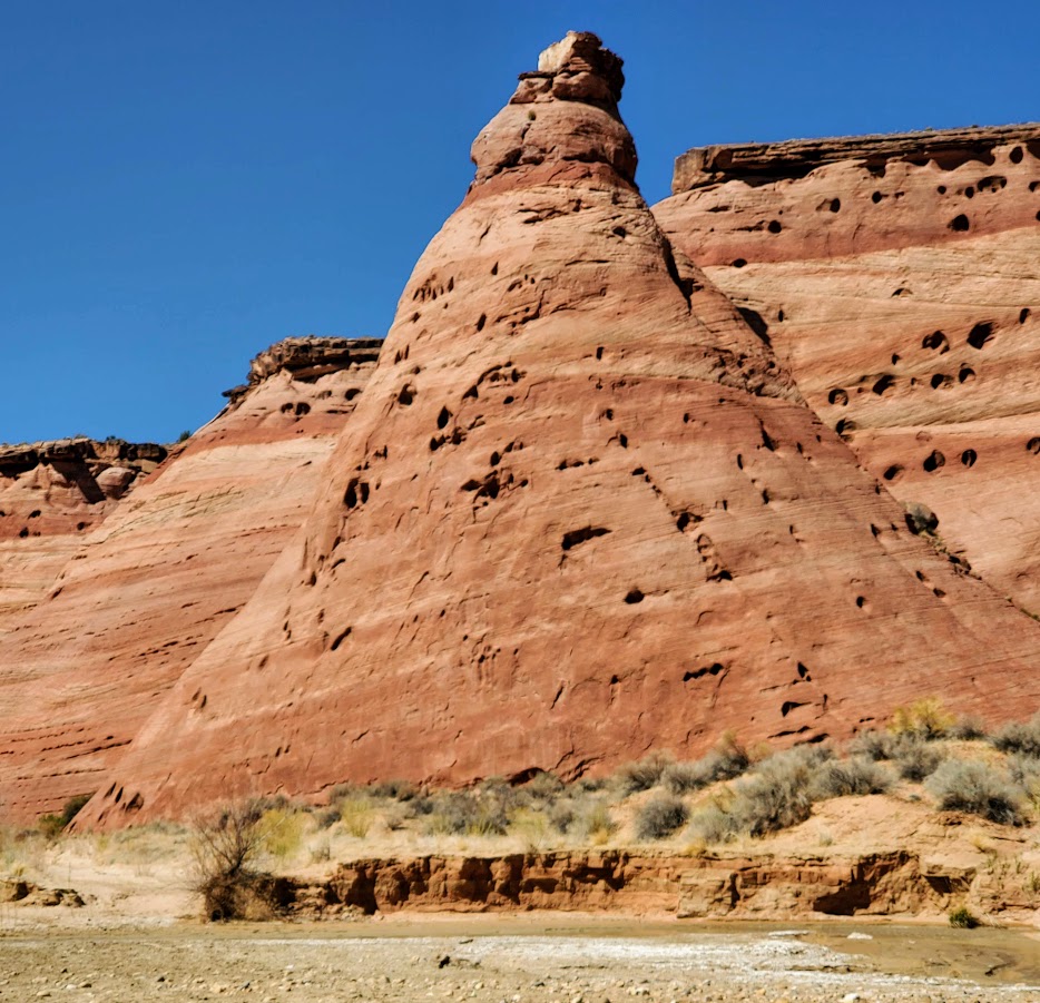
I explored Buskin Gultch, the longest slot canyon in the world, on another day. Note, Buskin is popular, so brace yourself for crowds.

Notes: FLASH FLOOD AREA. Be sure to check the weather! Day-use permits are required: $6 per person & per dog. Use your smartphone to scan a QR Code at the trailhead or stop at the Paria Contact Station. A limited number of backcountry overnight permits are available (20 per day). Plan ahead a couple of months and reserve online. I couldn’t find the direct link, but here’s the BLM phone number & email for answers to permit questions: 435-688-3200 or email us. You can also camp alongside the river at White House Campground. First-come, first-served basis – no reservations. Individual sites are $12 per night. Interagency Senior and Access Pass Holders get 50% off. Amenities include restrooms, fire rings, and picnic tables Pay fees by cash or check at the campground fee station. Not for vehicles or trailers longer than 25 feet. Pets allowed, but must be leashed. Best time of year fall or spring – otherwise, be prepared for ice in the winter and extreme heat in the summer.

Getting there:

From the Kanab Visitor Center (BLM) in Kanab, UT travel 42.5 miles east on Highway 89 to the White House Road/BLM751. Turn right and drive two miles to the campground.
Happy Trails!


Exploring a “Little” Known “Wild” Slot Canyon

Yep, that’s all the clues you’re getting. It’s getting so hard to find that splendid solitude out there, so I’ve decided not to be part of the “problem.” Even though I have zilch for a following —it’s the principle of it. I’ll keep posting the mainstream hikes, but you’re going to have a work a little harder to find these “secret”, less traveled spots. I’m also available for adventure consulting should you desire a personalized “best of” Utah itinerary for your adventures here.

I’m spoilt, I’ve been to many slot canyons in UT, including the world’s longest, the world’s most renown, and perhaps the shortest and wetest(?). Located in the San Rafeal Swell area (another clue), this one had a colorful allure of it’s own. Options there include a loop hike or out and back. The oak trees at the beginning of the hike are quite dramatic.

Happy Untraveled, Untrampled Trails!

Exploring Goblin Valley State Park, Emery, UT

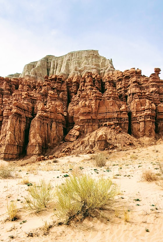
When you arrive at Goblin Valley State Park, you know you’re in Utah, but you may think you’re on another planet. Goblin Valley’s otherworldly scenery attracts visitors and filmmakers alike. The movie Galaxy Quest was filmed here.

While the small park offers a mere total of 6 miles of hiking, you may find yourself wandering for hours through the dramatic, twisted hoodoos, goblins, and rock mushrooms. The majority of the hoodoos can be encountered in the Valley of Goblins, an open free—range hiking area of 3 sq miles.

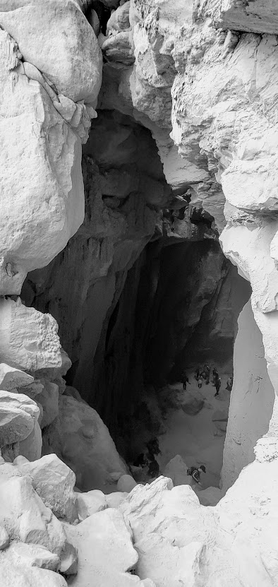
Be sure to check out the Goblin’s Lair (a massive cavern/ slot canyon), the Goblette’s Lair, 3 Sisters, and Molly’s Castle.

If you prefer to take in the unusual views by 2 wheels, you can enjoy the 7 miles of Wild Horse Mountain Biking Trail System.

If you like this sort of thing, you should check out Otherworldly Fantasy Canyon, a roadside geological wonderland, and Caves, Caverns, and Catacombs—Oh My! Cathedral Gorge State Park, Panaca, NV.

Happy Trails!

Exploring the Hurricane Rim and Canal Trail, Hurricane, UT

Distance: Your choice— 1 to 21 miles

Elevation gain: ~1,437 (There’s a gradual ascent in the first 2 miles or so and rollers beyond. If you go down to the Canal, you’ll have the return climb.)

Terrain: Single track (A few areas of “exposure” –other than those, generally great for trail running and mountain biking, except as noted on the trail – beware “The Drop”.)

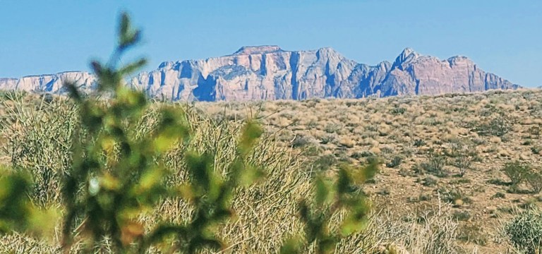
The views are spectacular on this trail—stretching out to ZION and dropping down to the Canal below. Just over a mile into the Rim Trail, you’ll come to aptly named Panorama Point. Here, you’re standing on the Hurricane Fault, one of the longest earthquake faults in the world. Before you, the expansive western edge of the Colorado Plateau and the convergence of the Basin, Range, and the Mojave Desert. The Kaibab limestone cliffs date back to the Paleozoic era when the ocean submerged the area.

At about mile 2.4, you’ll reach a junction to go down the Canal Trail or continue on the rim. I took the Canal Trail about 3.25 miles down and explored around there. There are many discoveries to be made along the way, including tunnels, historical remnants, and hot springs. (Unfortunately, the latter are now behind posted No Trespassing signs.)

There are a couple of options to explore here by foot or by mountain bike. There’s a sign at the trailhead with the details that I’ve summarized below. Hikers and bikers may find it somewhat disconcerting/comforting that the hospital emergency phone number is listed at the top of the sign.

HURRICANE CLIFFS TRAIL SYSTEM

Bowery Trail One-mile round trip hike that follows the Canal, going over a flume and through a tunnel. (Not exactly sure where this one starts.)

Historic Hurricane CANAL TRAIL Traverse from the Hurricane Hill Trailhead to Virgin Dam Trailhead – 5.2 miles one way. The first 2 miles are rated moderate. The last 3.2 miles are rated strenuous.

Mountain Biking the 21-mile “LOOP”

Canal/Rim Trail (first 1.8 miles), Rim Trail, Jem Trail, Goulds Trail, and Goulds Rim Trail. The “LOOP” route is typically ridden counter-clockwise. For a shorter ride of your choosing, you can opt to do an out and back or arrange a car shuttle.

Notes: Horseback riding is permitted from Virgin Dam Rim Trail to Chinatown Wash and on the Gould’s Rim Trail. This hike is exposed –spring, fall, & winter are probably preferable to hiking here in the summer heat.

Getting there: Go south about a mile on US-59 up the hill above Hurricane City. The Hurricane Rim trailhead parking area is on your left and marked by several cell phone towers.

Happy Trails!

Ps. I know some time has passed since my last post. I’ve been caught up in my adventures and have some serious catching up to do on my posts. Stay tuned and thanks for visiting.