Distance: ~13 Miles RT
Elevation Gain: 4,856 ft
Difficulty: Moderate to hard, depending on your fitness level and acclimation to altitude
My second splendid summit of Mount Timpanogos (11,753 ft) was via the Timpooneke Trailhead. (And yep, I’m sticking with the same title. Mount Timpanogos simply has ALL the ingredients for a great hike. I’ve seen Mt. Timpanogos from both sides now (Aspen Grove Trailhead and Timpooneke), and both routes are gorgeous. Mount Timpanogos still ranks as the best US hike I’ve done.
Trail Notes: Keep your eyes open; at Mile 1, the trail takes a sharp right turn. (I kept going straight on what appeared to be a wide, well-traveled trail that stopped short across a stream. I ended up scaling a waterfall avalanche chute before it dawned on me that I was on another one of my “off trail explorations”—yep, I know, lol. I later learned I wasn’t the only one and suggested to the ranger that a sign might be advisable.)
At the 3-mile mark, a “snow bridge” had collapsed across the middle of a waterfall, requiring careful traversing of the slanted, slippery snow field. The picture below may not look too treacherous, but there is a waterfall crevasse directly under the snow. One slip could be a big, potentially final slip if you know what I mean.

Crampons would help, but given the onslaught of the heat wave we’ve been having, this section won’t be an obstacle for long. Other than that, the trail is well-marked until you reach the Emerald Lake juncture. The Summit Trail (054) is the unmarked (I’m not sure why) trail to the right.
Cons: This route seems busier/more crowded. (I was there on a weekend. I’m sure it’s better on a weekday.) You may want to challenge yourself with the extra 1k of elevation that the Aspen Grove route delivers.)
Pros: It’s easier—there is 1,000 feet less elevation gain, and a couple of miles shorter. Best of all, you completely bypass the tortuous snow and talus field that takes forever to painstakingly cross on the Aspen Grove route. (See picture below.) Footing is easy the entire way on the Timpooneke route perhaps that’s why it’s so popular with trail runners.

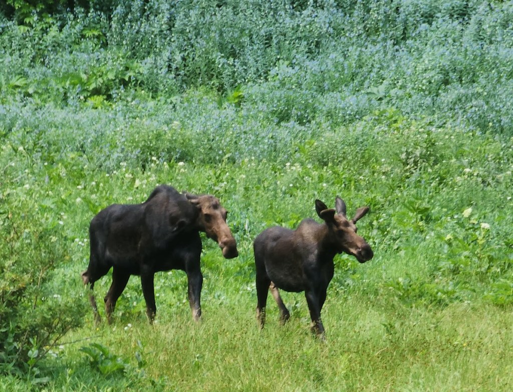
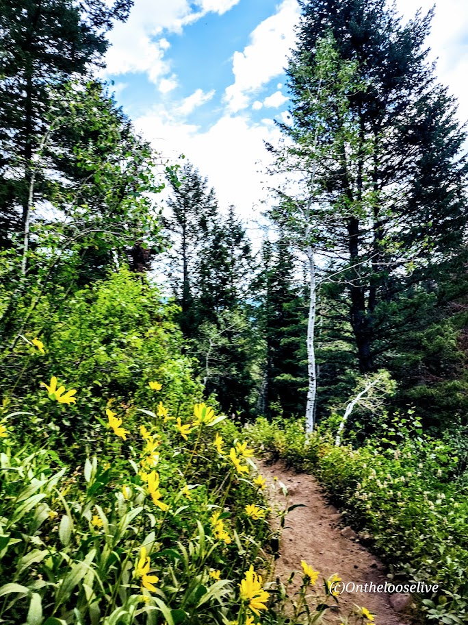
On the way up, you’ll go through what I’ll call “Moose Meadow,” where I saw the moose below with her calf.


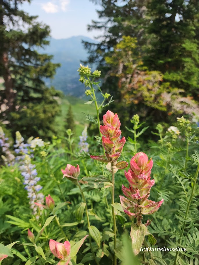
You get a great “bowl” view of Timp’s peak above and surrounding peaks from the wildflower-filled meadow basin.

After which, the trail begins to climb in earnest to the Timp Saddle, where you’ll enjoy sweeping views of Utah Valley and the summit ahead. If you’re lucky, you may see grazing, napping, or salt-licking mountain goats along the way. Give the mountain goats space and respect. I(I have a great magnifier on my camera.) (While the goats look docile, they have been known to kill loose dogs that harass them (3 loose dogs were killed by goats last year) and gore people who get too close.)


I saw several off-leash dogs—doesn’t seem prudent! I’m guessing the moose wouldn’t take kindly to the loose dogs, either.
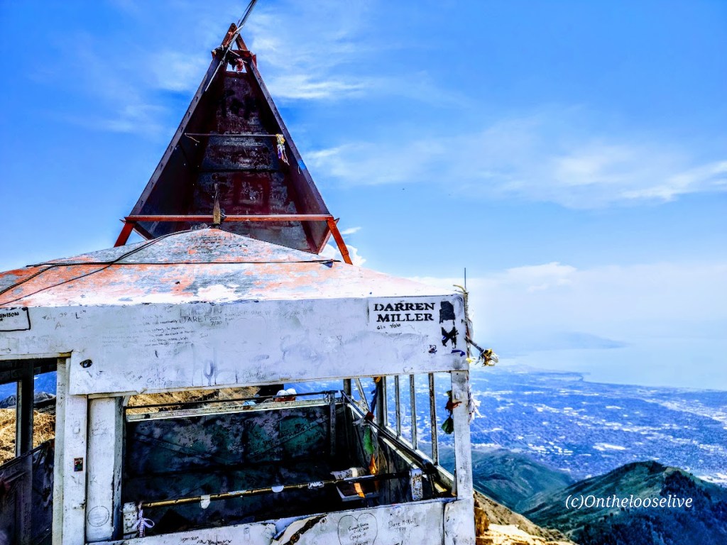
To reach the summit, mild scrambling is required. The section is short and nontechnical, but it is not for the faint of heart or those scared of heights. The panoramic views are tremendous, but it was a bit hazy when I summited—perhaps due to the wildfires in the surrounding areas.
Did I mention waterfalls? Lots!


Notes: On weekends, you need to reserve a parking spot: Timpooneke Parking Reservations
Caution: This hike involves significant elevation gain and hiking at elevation. Be aware of the signs of altitude sickness. It can sneak up on you even if you’ve never had it before. It happened to me recently on Wheeler Peak. On the way down Timpanogos, a teenage girl was in a fetal position by the trail, holding her head. Her family had called for rescue. Hopefully, she’s okay.
Happy and Safe Trails!