Mansard Trail, Kanab, UT Scenic hike with great views, rock formations, and petroglyphs!

Distance: ~5.2 miles

Elevation gain: 1,311 ft

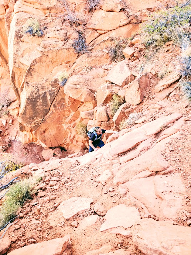
Difficultly: Easy to moderate depending on your fitness level (1 easy scramble required midway)

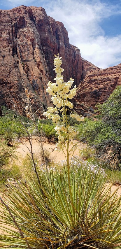
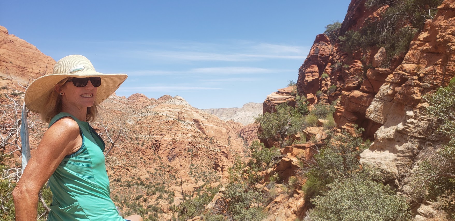
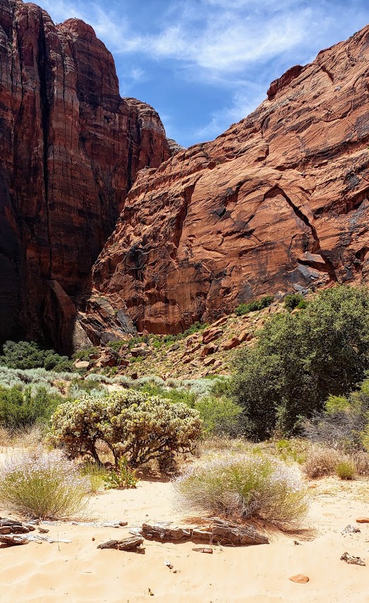
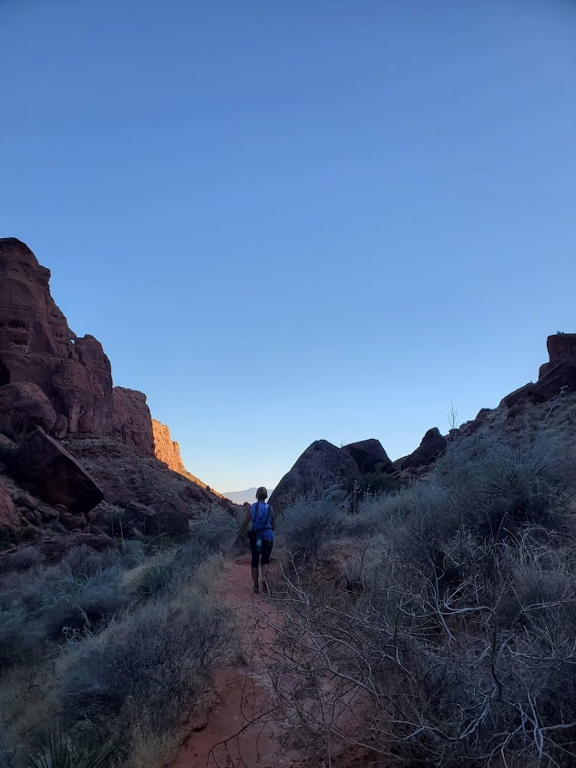
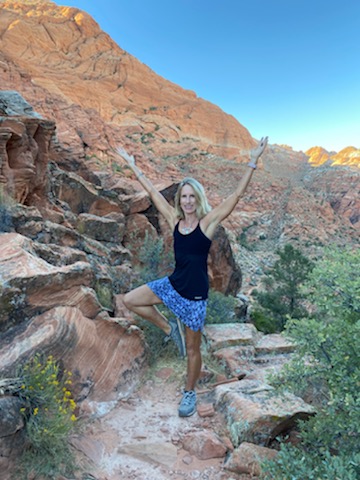
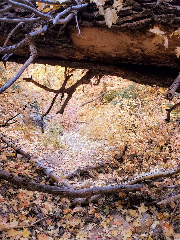
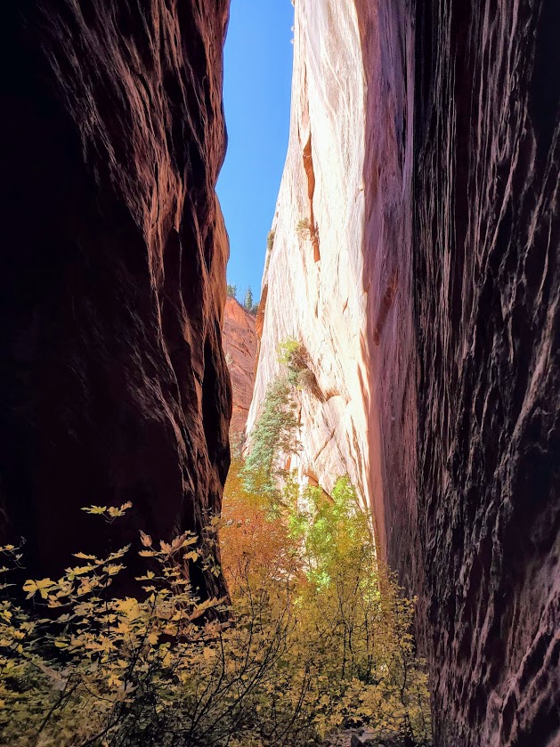
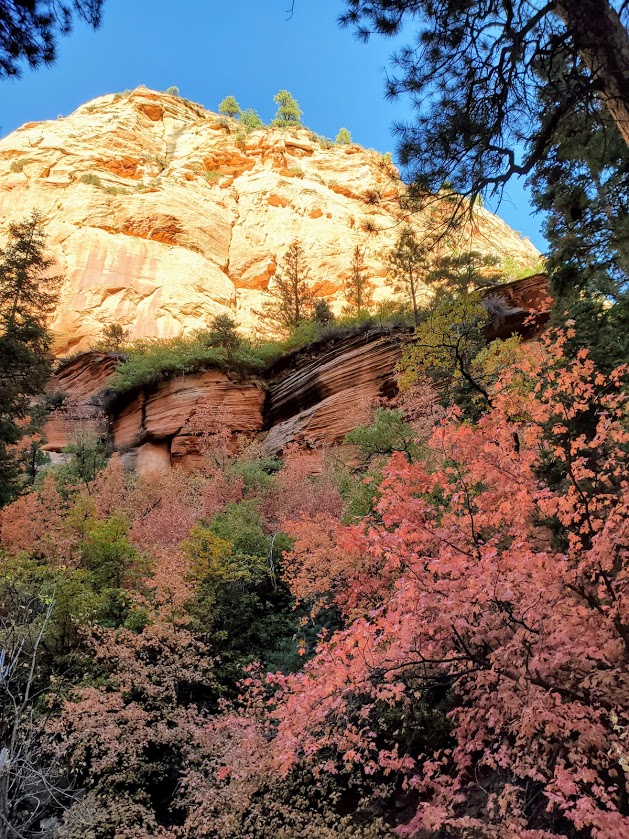
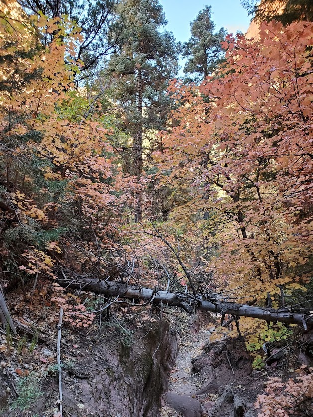
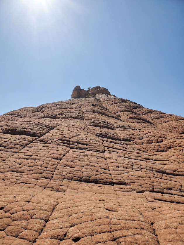
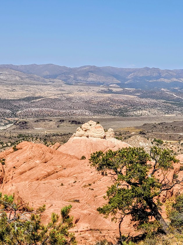
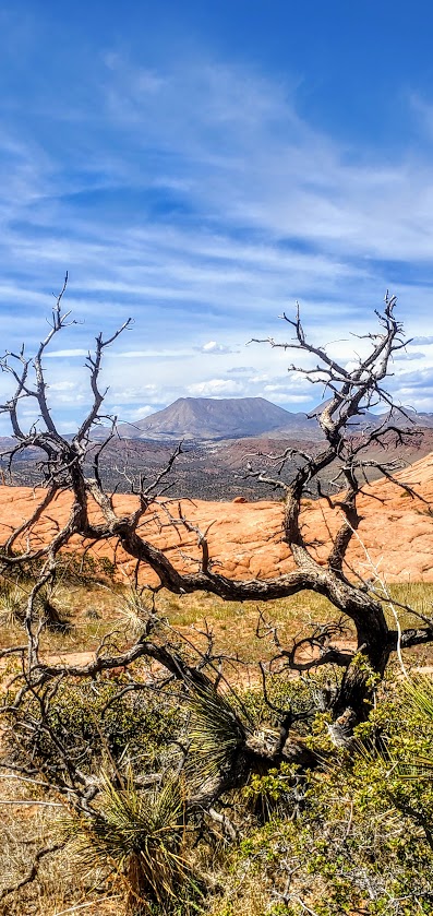
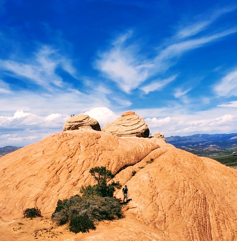
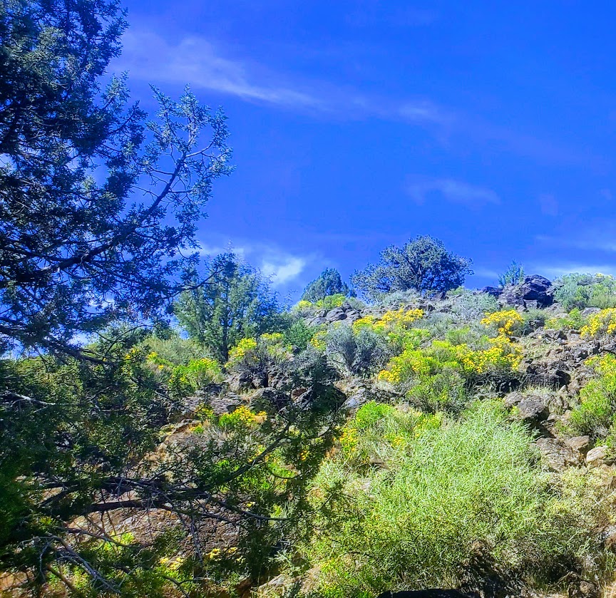
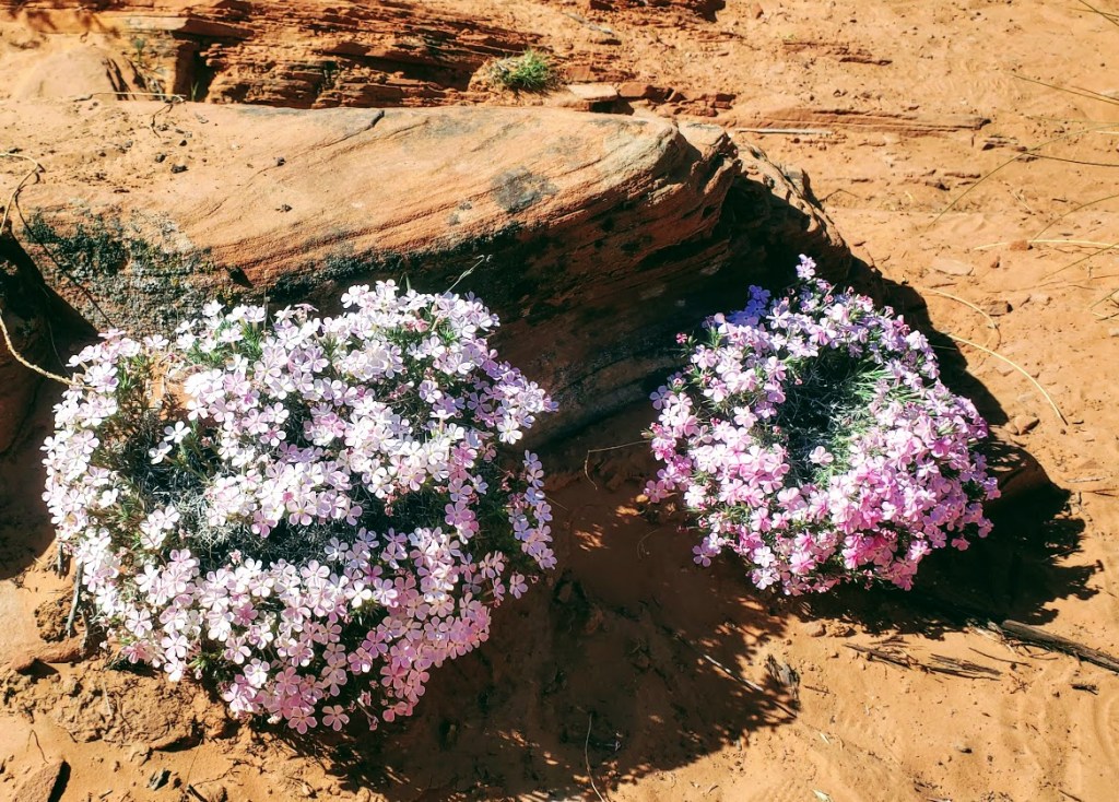
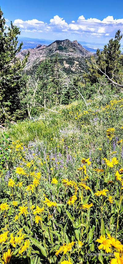
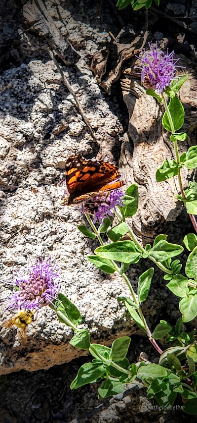
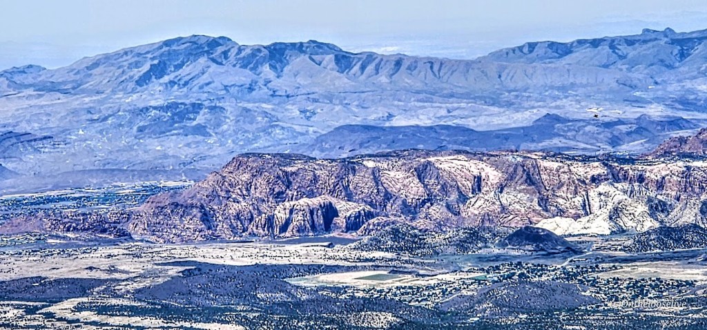
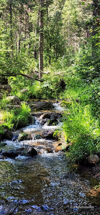
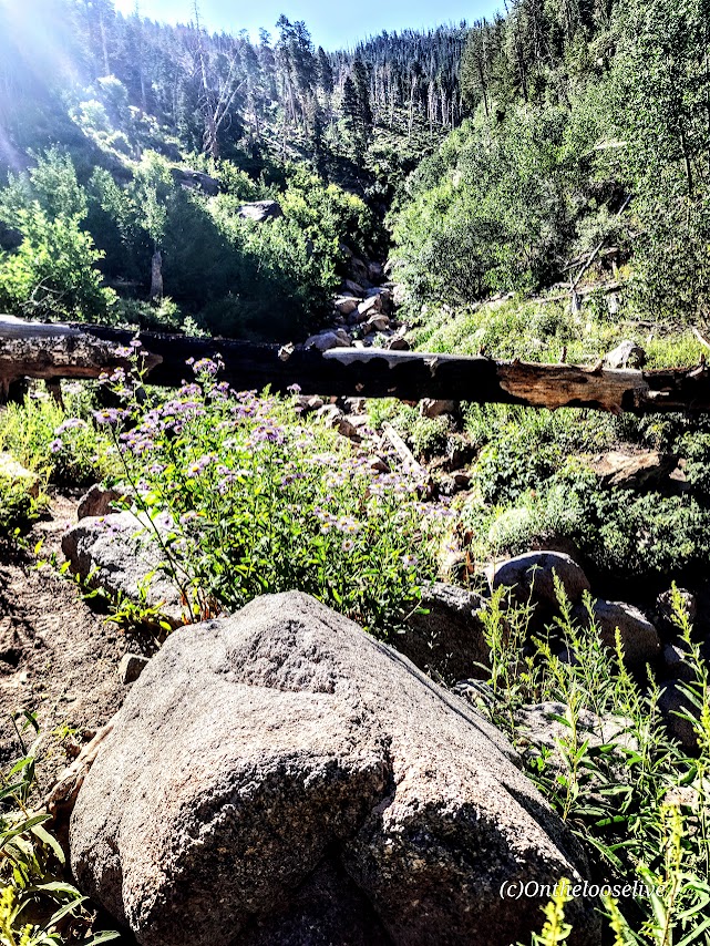
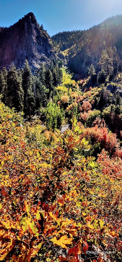
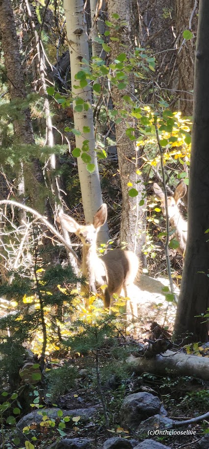
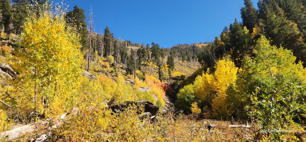
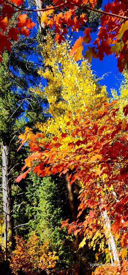
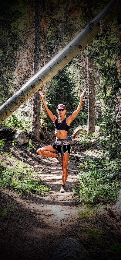
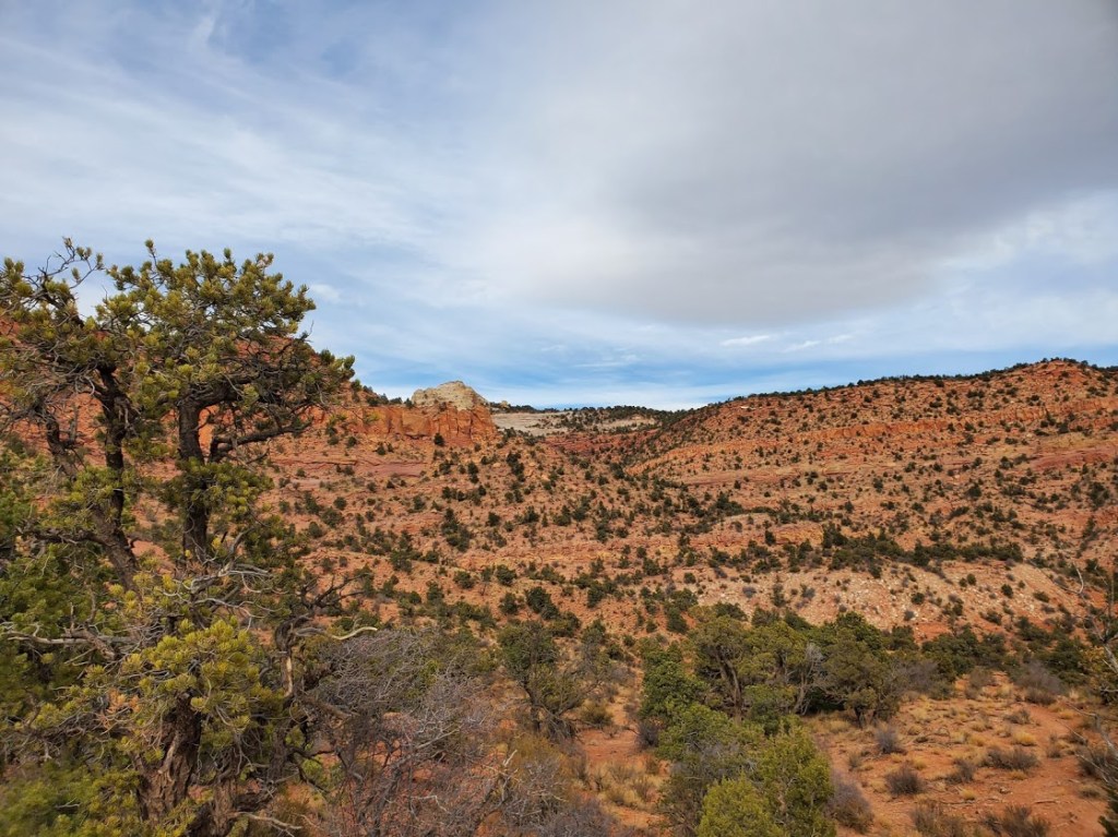
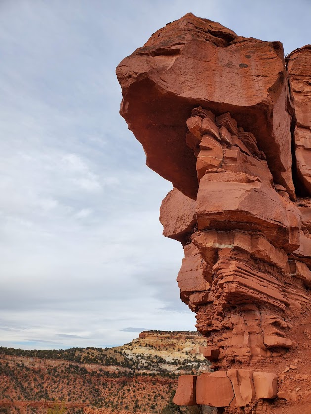
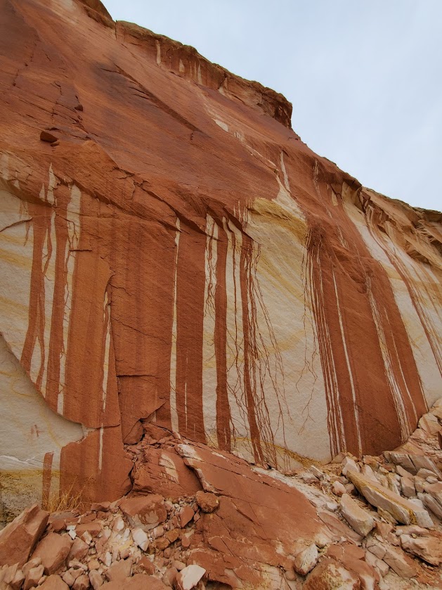
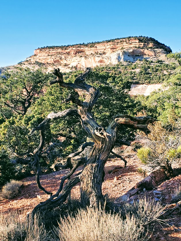
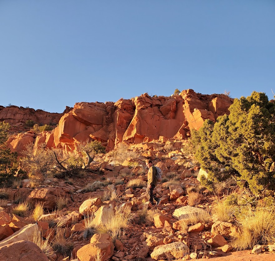
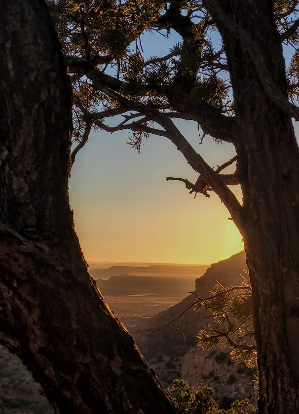
I loved this little hike. A feast for the eyes and spirit–the vermillion cliffs, the white rocks, the green pines and Bristlecones, the incredible rock formations along the way, the sweeping views of Kanab and the plateaus of northern Arizona, and the big reward of the magnificent alcove with its amazing petroglyphs. The single-track, switchback trail is red dirt most of the way up and thick, fine sand for the last 1/2 mile – great trail running terrain. If you’re in the Kanab area – it’s an absolute must do! Perhaps you can see why…

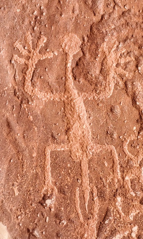
Notes: No permits needed. Free parking. The petroglyphs date back to the Anasazi period 0 AD to about 1250 AD and are on the floor of the alcove. Take care not to touch or step on any of the ancient art as oil from your hands or your pets’ paws can destroy the petroglyphs.

Getting there: The trailhead us just 6 miles east of the center of Kanab at 4825-4826 Rock Edge Lane

Happy trails!

Views to the North and South From Padre Canyon, Ivins, UT

Distance: 2.9 miles out and back or ~8 miles if you descend down the north side of the canyon and loop through Snow Canyon back to Tuacahn

Elevation gain: ~750

Difficulty: Moderate-depending on fitness level – due to deteriorating / rugged  (rocky/sandy/slippery) trail conditions and the climb.

This was my first hike as an official resident of St. George. It’s a good one, rewarding with great views at the “peak” south back the way you came and north into Snow Canyon. For a longer adventure, you can keep going north and then hike your way right until you arrive at the bottom of snow canyon. You will have to walk the paved bike path and the road to get back to the Tuacahn parking lot this way, but you will be immersed in spectacular views the entire time. For a shorter adventure without pavement, you can simply do an out and back as far as your heart desires.

Either way, you can’t wrong. Enjoy!

Directions: The Saddleback / Padre Canyon trailhead is in Ivin’s at the top right of the Tuacahn parking lot to the right.

Notes: Free parking

Spring Creek Canyon, A Perfect Little Fall Hike, Kanarraville, UT

Distance: ~5.5 -~10 Miles

Elevation: 948 ft1,132 ft

Difficulty: Easy to more difficult if you scramble/bushwhack your way further up the slot canyon

Terrain: Starts out as a sandy trail and gradually gets rockier. There are a couple of short slot canyon offshoots to the left and right to explore along the way. At about mile 2.5 the trail begins to disappear into the heavy overgrowth. Continue on if you’re up the challenge.

October 2022 Update: This summer’s flash floods have cleared much of the brush so it was possible to make it up the canyon as far as 5 miles to a terminus of sorts.

Located just outside the Kolob Canyons area of Zion National Park, Spring Creek slot canyon makes for a beautiful hike any time of year, but especially in leaf peeping season – as you can see why. There are a few minor creek crossings, but it’s relatively easy to keep your feet dry. (No water shoes needed.) I took the trail 4.5 miles up – if you’re going beyond 2.5 miles, I highly recommend hiking shoes and long pants.

Getting there: Take the I-15 to the Kanarraville Exit, and follow the main route to the south edge of town. At 400 South Main Street, take the route that heads southeast toward the cliffs. Follow it for about 0.82 miles to the parking area and trailhead.

Exploring the Vortex, Gunlock, UT

Exploring the Vortex, Gunlock, UT  

Distance: 2.3 mile out and back

Elevation gain: via trail 524ft, via a scramble up the rock face 899ft

Terrain: Rocky and sandy with plenty of scramble/climb options

If you’re looking for a mini-adventure in an other-worldly landscape, you can find it at the Vortex. Yes, there’s a tame trail that will take you to the top, but there’s ample opportunity to choose your own scramble route up the myriad of steep sandstone rock faces.

Highlights: Panoramic views, stream running through the bottom of the canyon, rock pockets filled with reflecting pools after a rain

Notes: Exposed area, best in the Fall, Winter, or Spring, especially after a rain.

Getting there: Take the 18N to Dammeron Valley and make a left on the inconspicuous dirt road with the small Upper Sand Cove sign. Follow the road for about 5-6 miles. Once you cross over the cattle guard, you’ll see a sign for the Lower Sand Cove Trailhead – aka, the Vortex trail.

Forsyth Trail: Fine Trail With Fantastic Views, Pine Valley, UT

Difficulty: Butt Kicker

Elevation Gain: ~3,490

Total Distance: ~11 Miles RT

Forsyth is a kinder, more gentle trail than the Brown’s Point Trail and it offers an even greater reward—far more splendid, panoramic views. Don’t get me wrong, they are both great hikes, but if you can only do one, it should be Forsyth for the gurgling stream that runs alongside the trail for miles and the stellar views at the top. The first 3.5+ miles are mostly shaded with a steady incline. Once you hit the 3.5 mark, the trail takes off its kid gloves and puts your fitness to the test by packing a powerful punch of elevation gain into the last 1.5+ miles. Despite that elevation-packed punch at the end, I’d say this trail is MUCH easier than Brown’s Point Trail even though the mileage difference is less a 1/2 mile and the elevation difference is just a couple hundred feet.  If you’re into peak bagging, there are add-on options to Burger Peak (~11.8 miles & 4,268 feet elevation) and Signal Peak. (I’ll update if / when I do those 2.)

This slideshow requires JavaScript.

Summer 2023 Update

Our rainy winter rewarded us with a refreshing trailside stream up to mile 4. That’s the good news. The bad news—lots of biting flies and mosquitos. Pro tip: Bring bug spray and be on the alert for tics.

Fall 2024

Getting There: Turn left onto FR 035/E Main St/Pine Valley Rd and right at the sign for Forsyth Trail / Meadows Dr / U1212.

Notes: Dog-friendly

Happy Trails!