
Exploring the Vortex, Gunlock, UT
Distance: 2.3 mile out and back
Elevation gain: via trail 524ft, via a scramble up the rock face 899ft
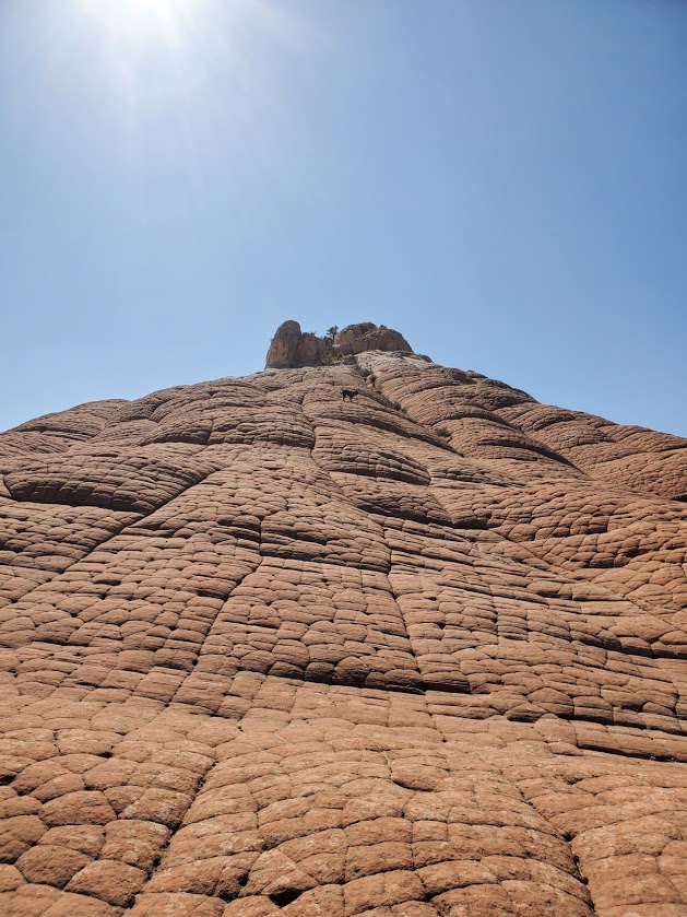
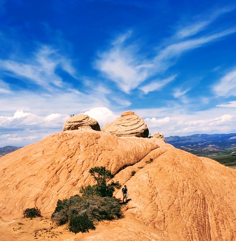
Terrain: Rocky and sandy with plenty of scramble/climb options
If you’re looking for a mini-adventure in an other-worldly landscape, you can find it at the Vortex. Yes, there’s a tame trail that will take you to the top, but there’s ample opportunity to choose your own scramble route up the myriad of steep sandstone rock faces.


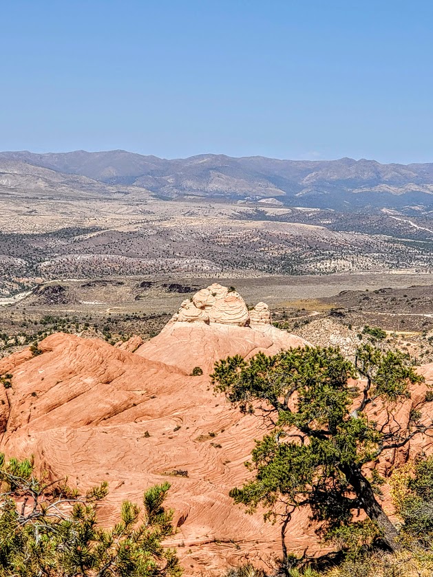

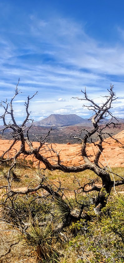


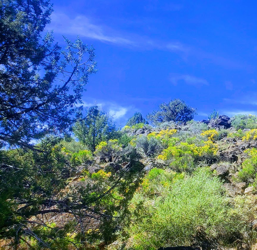

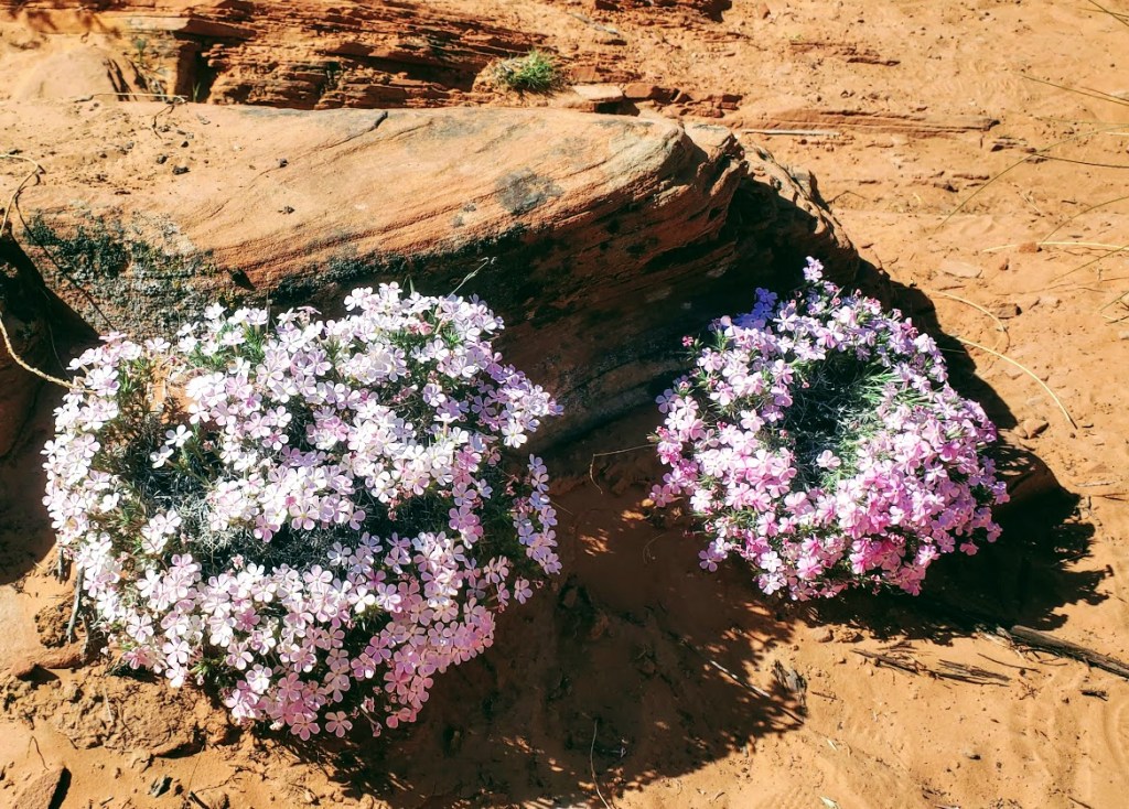
Highlights: Panoramic views, stream running through the bottom of the canyon, rock pockets filled with reflecting pools after a rain
Notes: Exposed area, best in the Fall, Winter, or Spring, especially after a rain.
Getting there: Take the 18N to Dammeron Valley and make a left on the inconspicuous dirt road with the small Upper Sand Cove sign. Follow the road for about 5-6 miles. Once you cross over the cattle guard, you’ll see a sign for the Lower Sand Cove Trailhead – aka, the Vortex trail.
