Canyonlands Geological Wonderland, Moab, UT

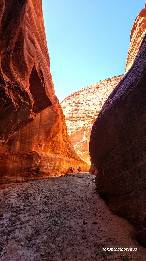
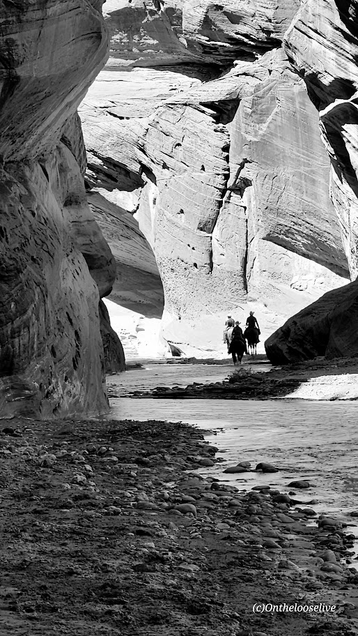
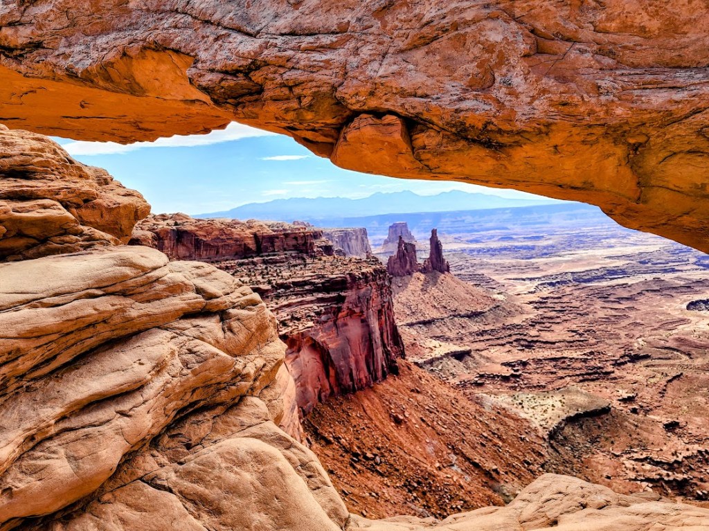
So many parks, so little time. Had a chance to step into Canyonlands for a super quick explore of Mesa Arch (1/2 mile stroll to a heavily populated and photographed arch) and Upheaval Dome (.75 or 1.5 miler).
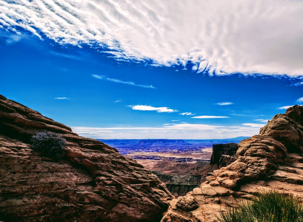
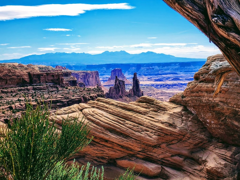
Mesa Arch

Upheaval Dome A mysterious 3-mile area of deformed rock layers. In the center, the rocks form a dome. The rock layers surrounding the dome fold away in the opposite direction. There are 2 theories about what caused the folds of Upheaval Dome.

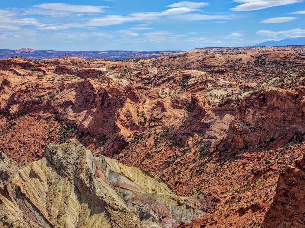
Some geologists believe that Upheaval Dome is the result of a salt dome and erosion from the rock layers above the dome itself. If so, Upheaval Dome would be considered the most deeply eroded salt structure on earth.

Other geologists and recent research support the theory that it’s a partially collapsed impact crater from a meteorite dating back ~60 million years.

Whatever it is, it’s cool to observe this geological anomaly and ponder the mystery.

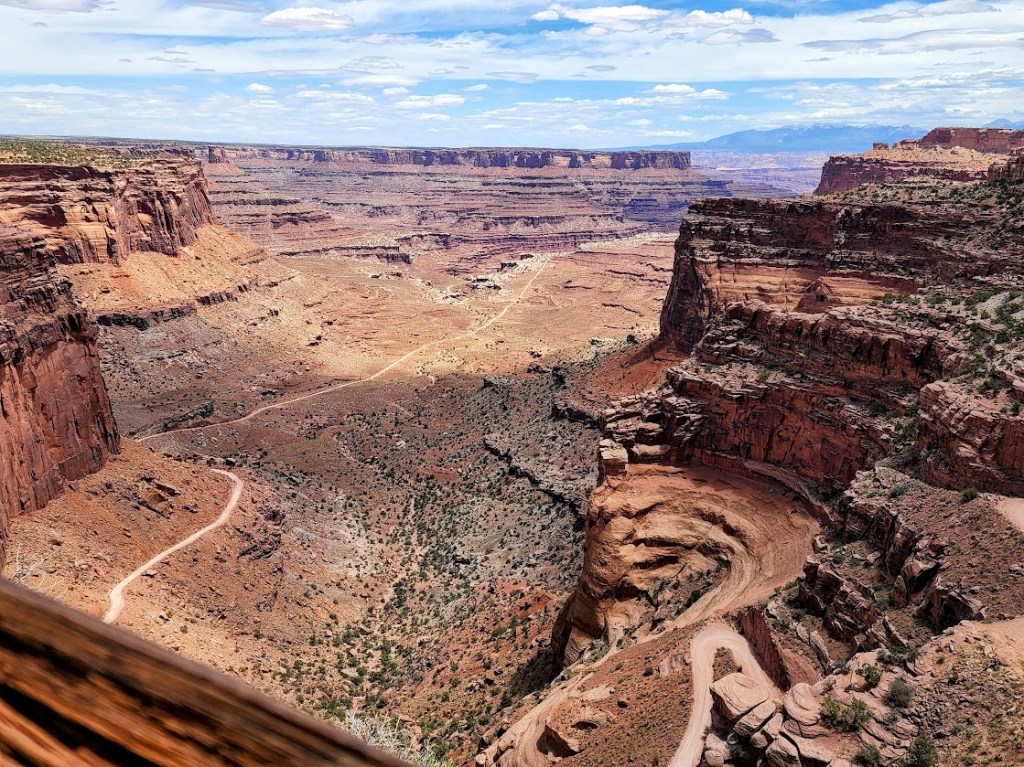
Canyonlands National Park is divided into 4 districts by the massive canyons of the Green and Colorado Rivers—the short hikes to big overlooks of Island in the Sky, longer day and backpacking hikes in The Needles, to the remote wilds of The Maze

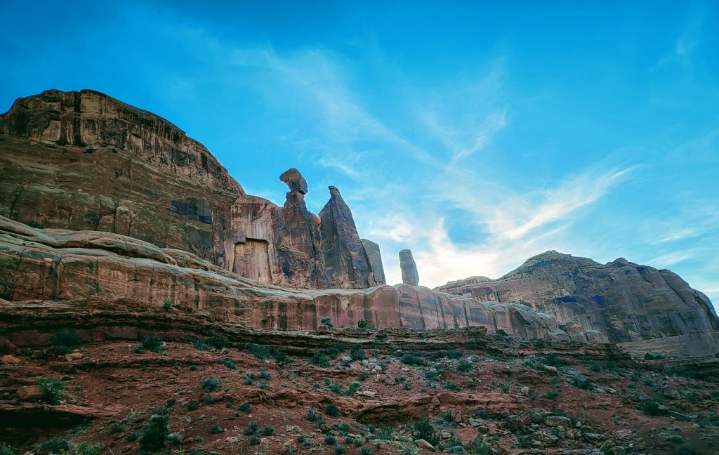
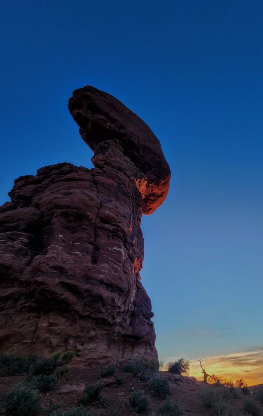
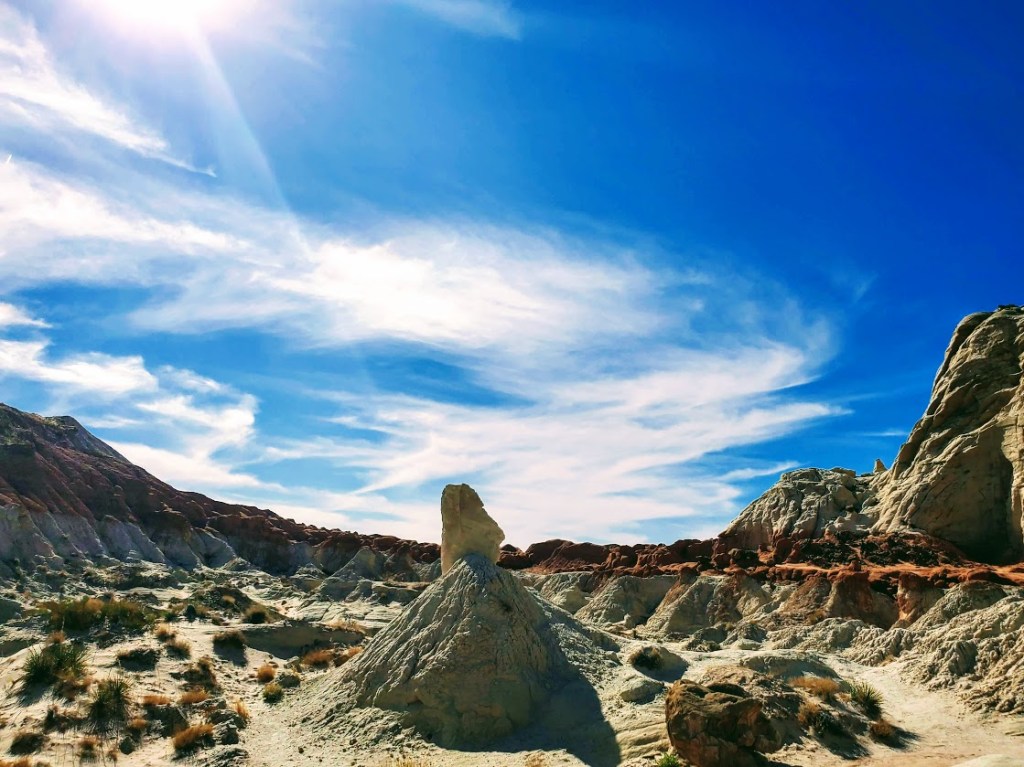
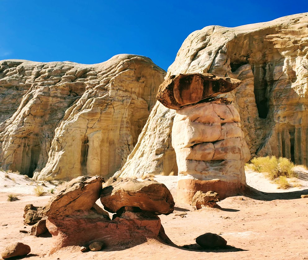
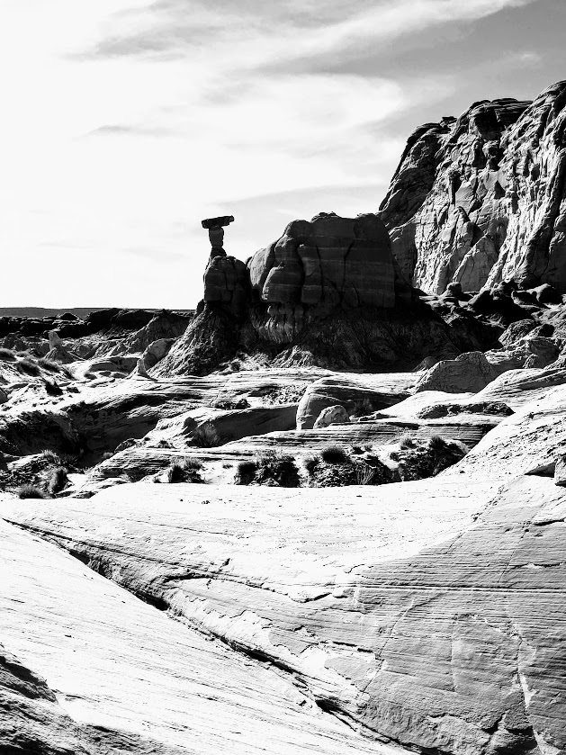
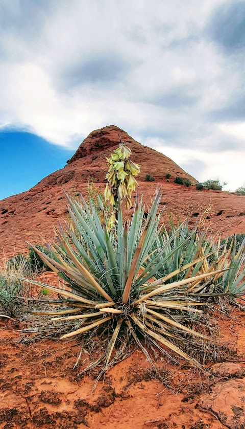
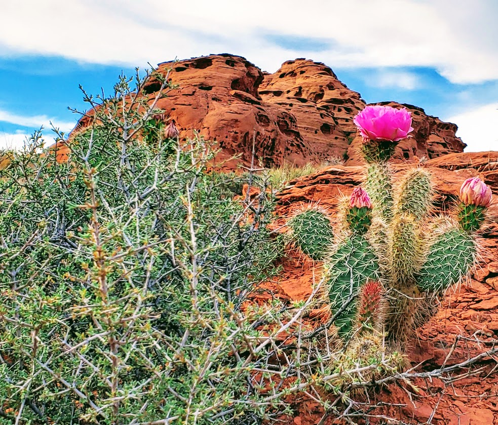
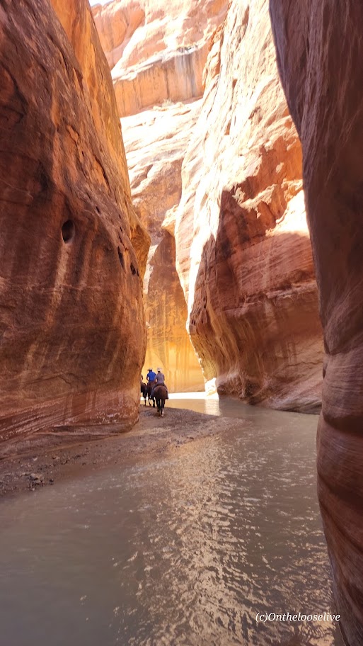
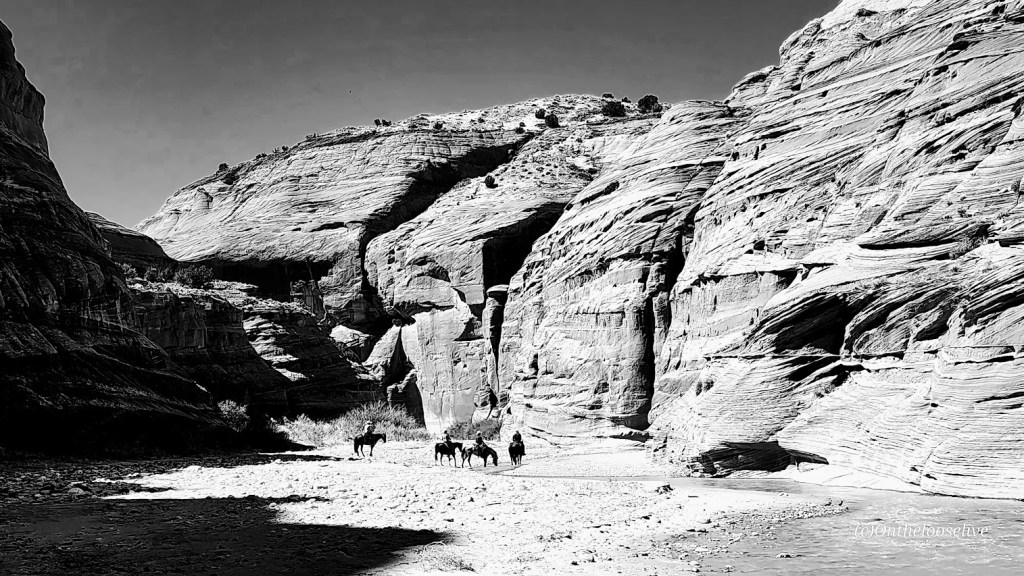
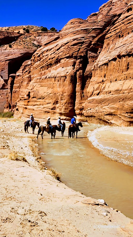
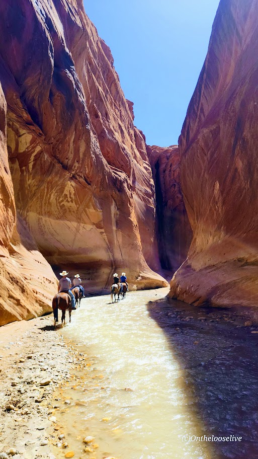
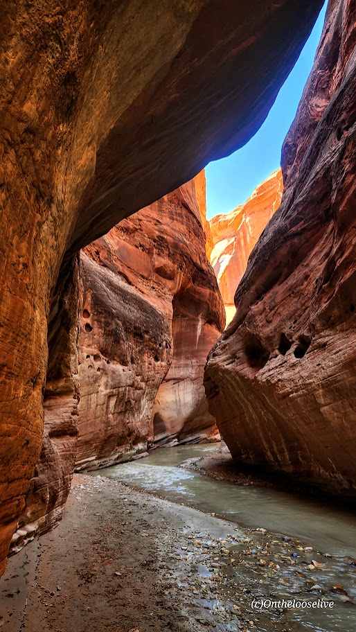
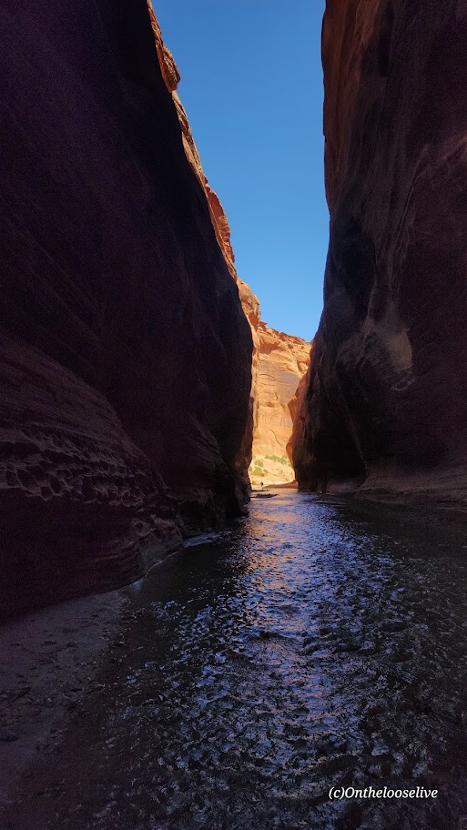
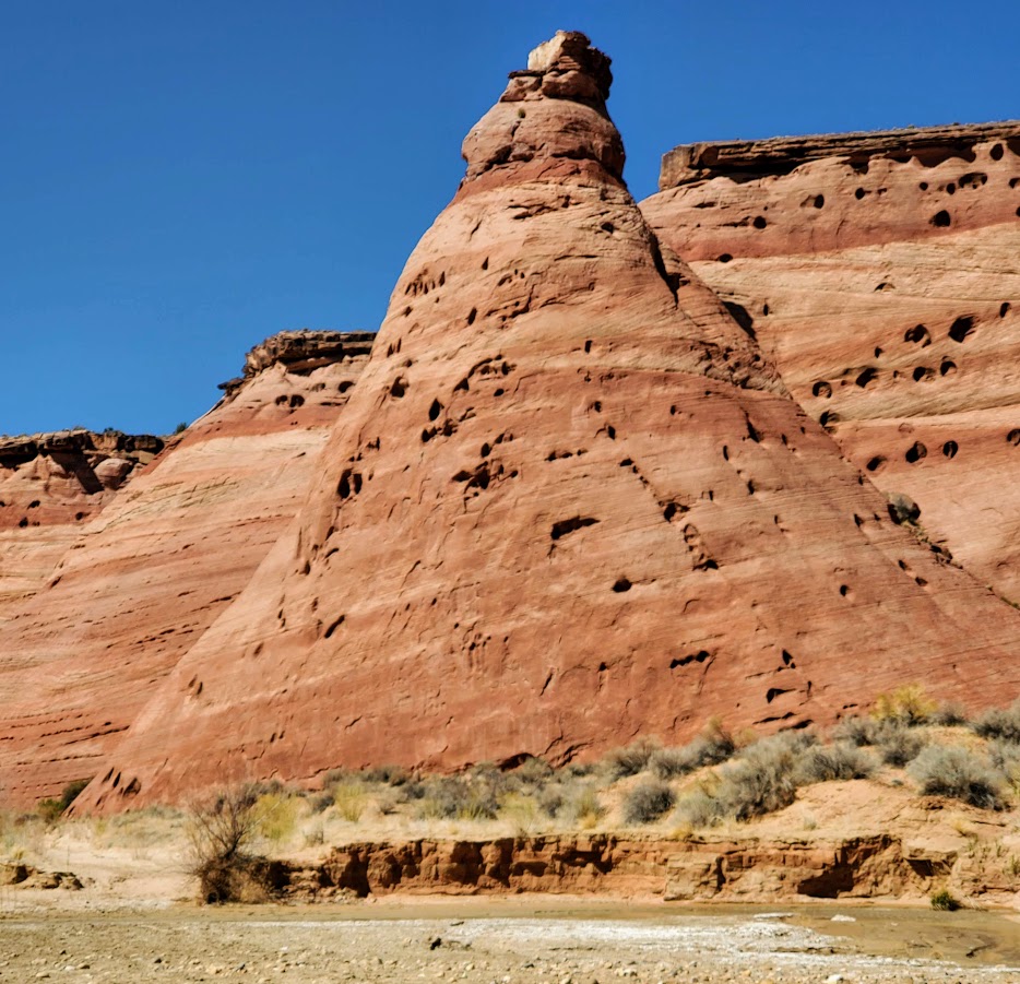
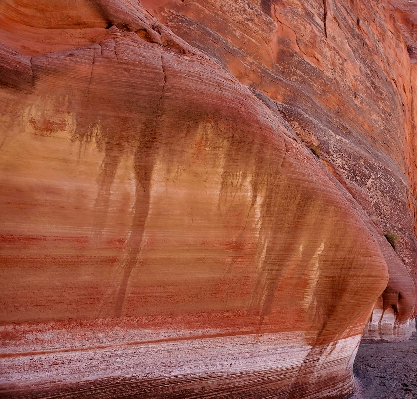
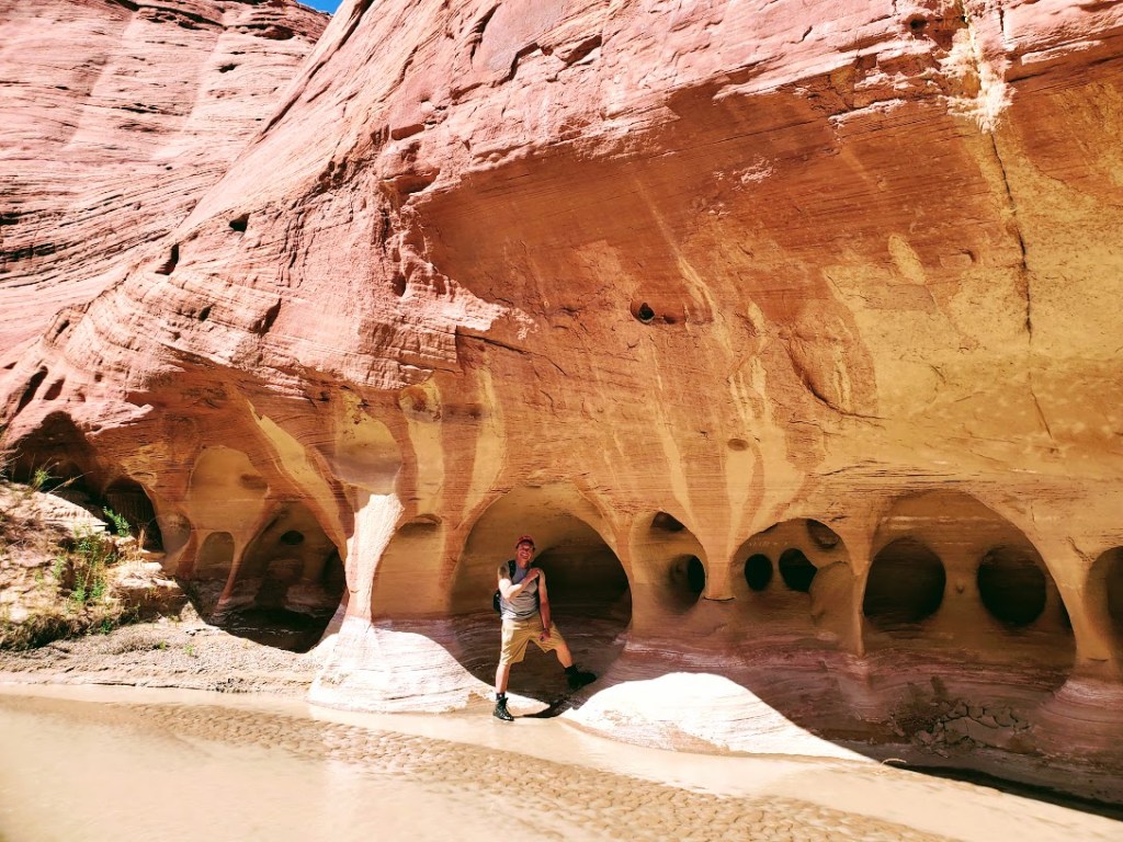
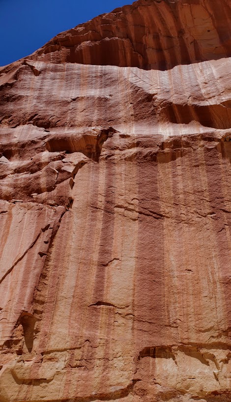
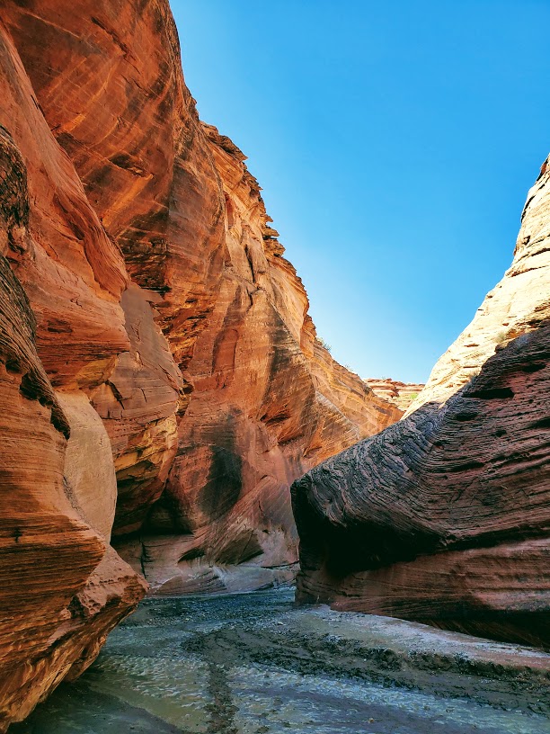
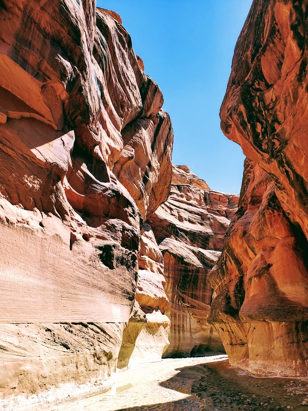
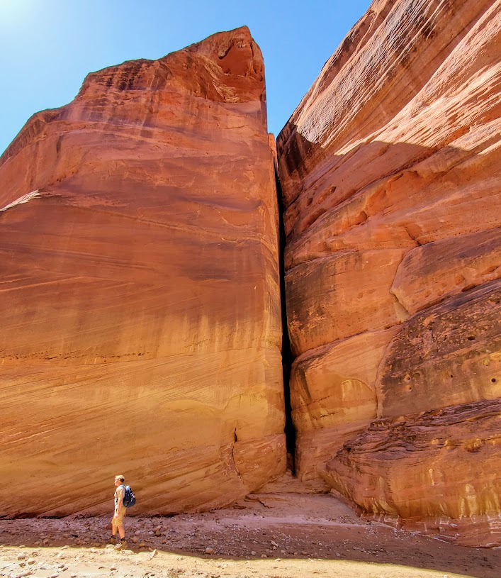
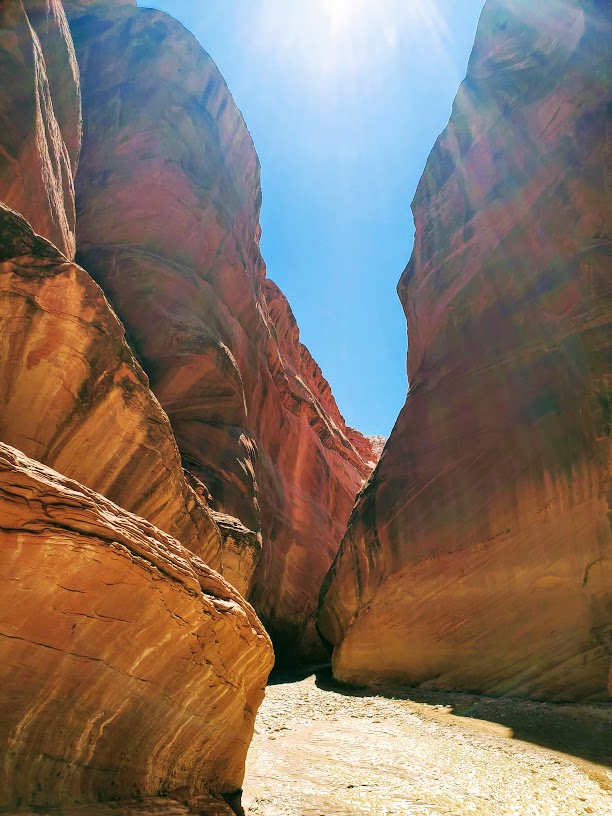
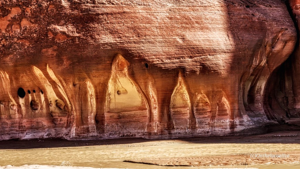
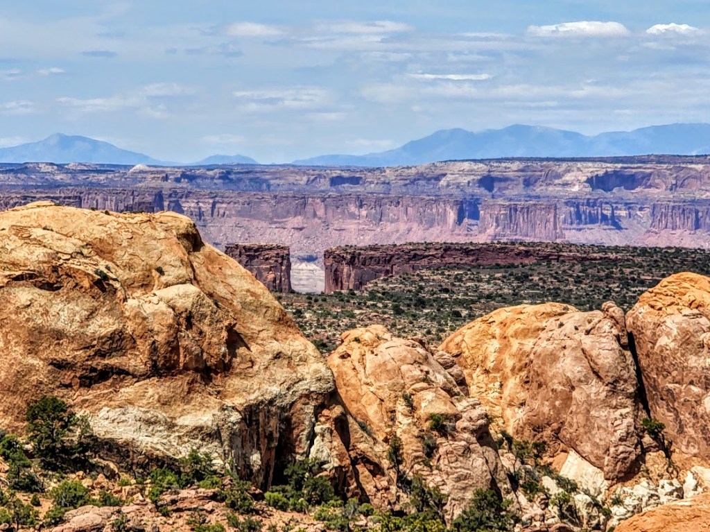
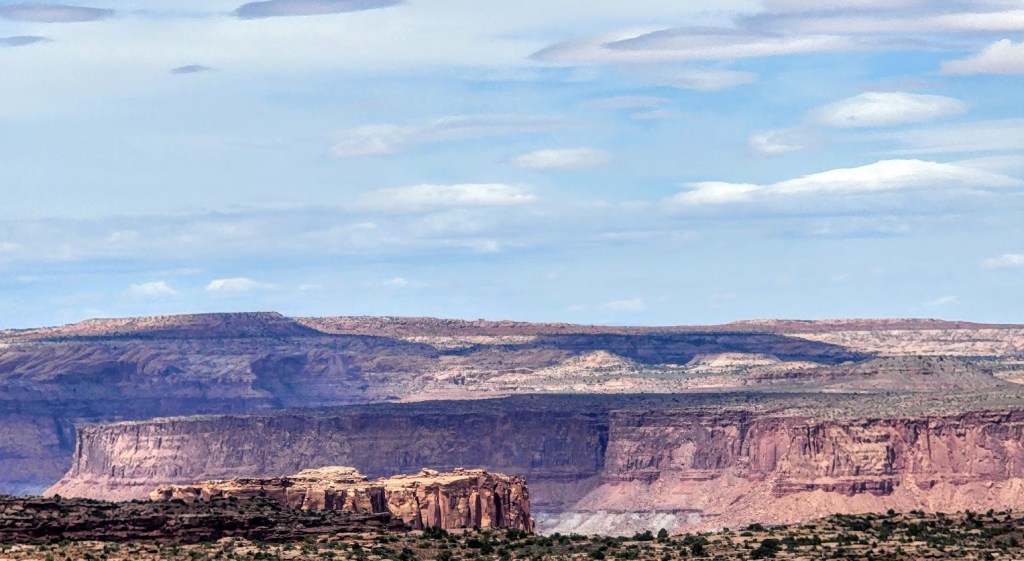
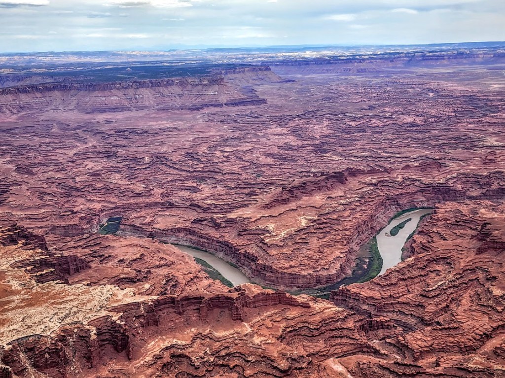
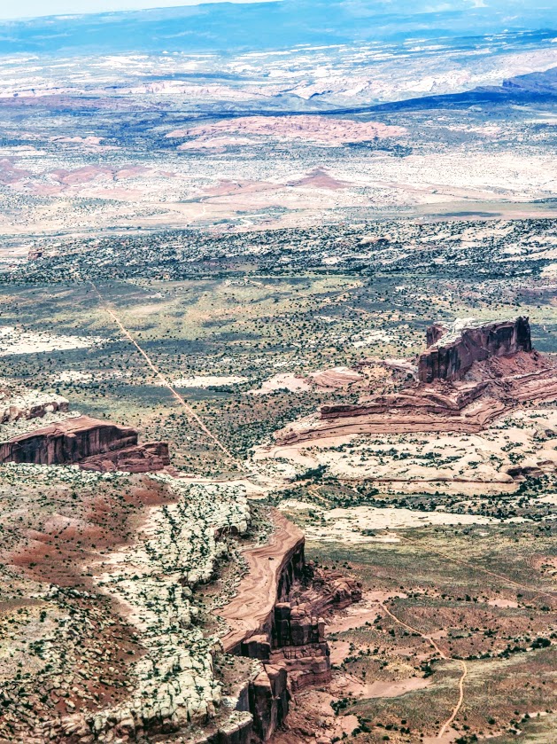
Just driving around, you can see views like these.

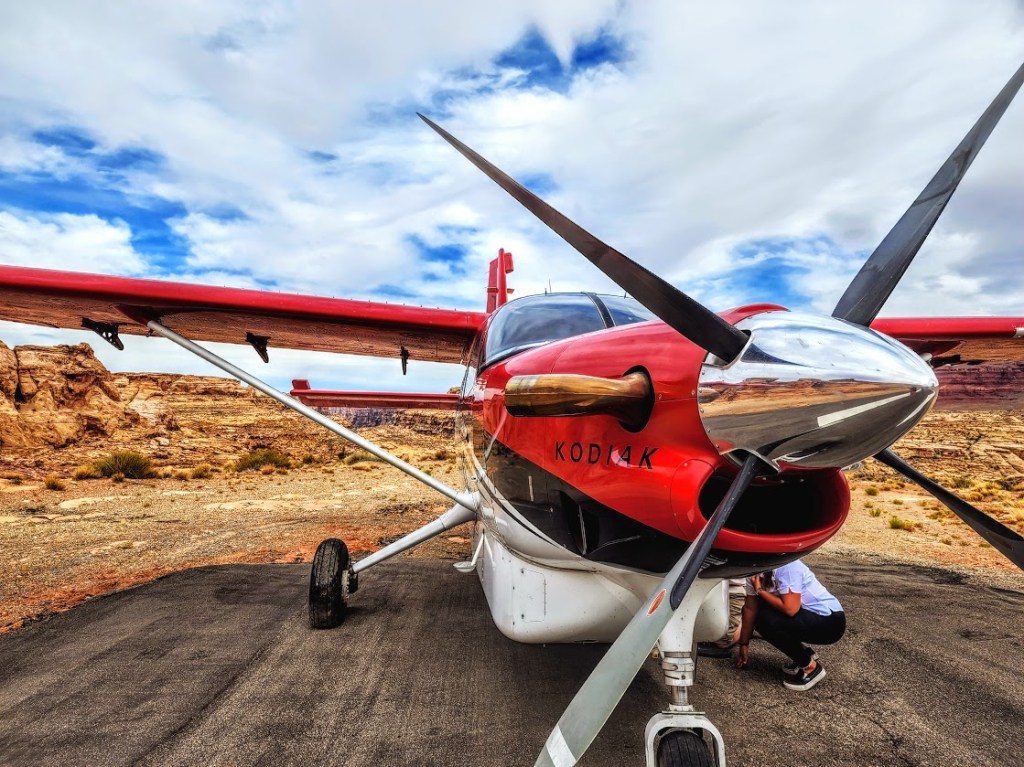
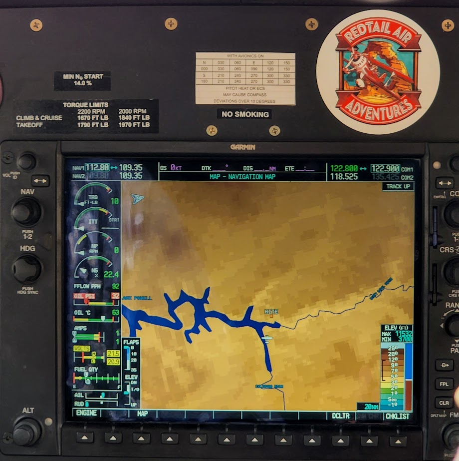
I was fortunate to get a bird’s eye view of this geological wonderland flying in a little Kodiak with Red Tail Adventures, our ride back from white water rafting (post to follow).

Getting to each district of the park (they are unconnected):

From US 191 north of Moab, UT 313 leads to Island in the Sky.

From US 191 south of Moab, UT 211 leads to The Needles.

It’s a long 4-wheel drive journey to get to the  The Maze (The Hans Flat Ranger Station is 2.5 hours from Green River, Utah. From I-70, take UT 24 south for 24 miles. A left hand turn just beyond the turnoff to Goblin Valley State Park will take you along a two-wheel-drive dirt road 46 miles (76 km) southeast to the ranger station.From the ranger station, the canyons of The Maze are another 3 to 6 hours by high-clearance, four-wheel-drive vehicle (more if traveling by foot). Another four-wheel-drive road leads into The Maze north from UT 95 near Hite Marina (3 hours to the park boundary).

Note: High heat and sun exposure in the summer. Avoid the hottest times of the day and bring plenty of sunscreen, a hat, water, and salty snacks.

Happy Trails!

Awesome Arches National Park, Moab, UT

Some call it Arches. After just a glimpse of a few of its thousands of stone arches, soaring pinnacles, massive monoliths, and giant balanced rocks, I call it Kingdom of the Gods. Here are a few highlights from a quick sunset photo shoot en route to a white water adventure on the Colorado River (stay tuned for that post). Can’t wait to explore more of this amazing park, but I’ll have to make do with this teaser post for now.

NOTES: Ticketed reserved entry runs from 6 am to 5 pm daily between April 3 to October 3, 2022. You can enter the park without a reservation before 6 am or after 5 pm. The park is open 24/7.Planning to visit Arches ? Get the scoop on making a timed entry reservation.

Happy Trails!

Tiptoe Through the Toadstools, Kane County, UT

If you’re into cool geological formations and/or you have a car full of kids repeatedly inquiring “Are we there yet?”, this quick roadside stop may be your salvation.

Toadstools are spire-like features with boulders on top. They form when softer rock erodes and leaves a column underneath.

These formations are fragile, please don’t touch, climb on, or deface them.

Difficulty: Easy

Distance: ~1.5 mile leg stretcher/stroll

Notes: Free, dog-friendly, 100% exposed, scorching in the summer

Getting there: Located off Highway 89, 45 miles east of Kanab and 12 miles west of Big Water.

If you like this sort of thing, you should check out Mexican Hat , Fantasy Canyon, and Cathedral Gorge too.

Happy Trails!

Church Rocks—Glorious Views and Heavenly Sunsets for Nature Worshipers

Distance: ~5.2 loop

Difficulty: Easy, fire road, single track, slick rock

If you can get over the fact that you’re hiking alongside the 15 freeway (within sight and sound), this area still delivers big rewards. Whether you hike or mt. bike it, the panoramic views are stunning in every direction from Pine Valley Mt. to Zion. This area seems to capture the best golden light for spectacular sunsets. There’s more than meets the eye, here, at first it seems like just open landscape, but, there ae many nooks and crannies to explore—washes, mini slots, etc…The cluster of mammoth red, temple like, “Church Rocks” is a fun to explore. Watch for the hawks and swallows that have made this area their home.

Getting there: exit 13 from I-15 N, turn left onto Washington Pkwy and park in the parking spots. Red Cliffs Recreation area: You can access the Church Rocks Trail from the Grapevine Trail, Dino Cliffs Trail or to the south and Prospector to the north.

Note: The 100% exposed so be prepared with adequate water, hat, and sunscreen.

A “Beachy” Stroll in UT: Paria River to the Buckskin Gulch Confluence

Imagine a walk “on the beach” surrounded by colossal slot canyon walls, the play of shadows and light on their vermillion faces, cool water on your feet, and top it all off with cowboys🤠 on horses 🐎for quintessential Wild West photo ops.This is as close as it comes to a”walk on the beach” hike in Utah. You can stroll up the river any distance your heart desires, or you can make it an overnighter, or a multiday adventure to/from Lee’s Ferry 38 miles away.

For my second visit here, I hiked up to the Paria/Buckskin Gulch Confluence (14 miles RT) with my friend. We had it almost entirely to ourselves except for the 4 cowboys on horses who kept me “on pace” chasing their equines and photo ops.

Truth is advertising, you will encounter sand, mud, quicksand, and little to no shade (until you reach the slot canyon ~5+ miles). If you’re prepared for those caveats, you’ll likely find it quite pleasant to meander up the at-times dry, muddy, wet riverbed as you take in the play of light and shadows on the colossal canyon walls and wonder at the strange sandstone formations. Unless there’s been a recent heavy rain, the water won’t reach your ankles so either tevas or an old pair of running shoes that you don’t mind getting wet will work best.

I explored Buskin Gultch, the longest slot canyon n the world, on another day. Note, Buskin is always be crowded so brace yourself.

Notes: FLASH FLOOD AREA. Be sure to check the weather! Day use permits are required – $6 per person & per dog. Use your smartphone to scan a QR Code at the trailhead or stop at the Paria Contact Station. Limited number of backcountry overnight permits available (20 per day). Plan ahead a of couple of months and reserve online. I couldn’t find the direct link, but here’s the BLM phone number & email for answers to permit questions : 435-688-3200 or email us. You can also camp near alongside the river at White House Campground. First-come, first-served basis – no reservations. Individual sites $12 per night. Interagency Senior and Access Pass Holders get 50% off. Amenities include restrooms, fire rings, and picnic tables Pay fees by cash or check at the campground fee station. Not for vehicles or trailers longer than 25 feet. Pets allowed, but must be leashed. Best time of year fall or spring – otherwise, be prepared for ice in the winter and extreme heat in the summer.

Getting there:

From the Kanab Visitor Center (BLM) in Kanab, UT travel 42.5 miles east on Highway 89 to the White House Road/BLM751. Turn right and drive two miles to the campground.

Happy Trails!