Worshiping Mother Nature: Golden Cathedral, Escalante, UT

Distance: ~9-10 miles RT Out & Back

Difficulty: Not easy- most rate it difficult and strenuous due to the distance, elevation gain, deep sand hiking, and exposure. Not for the faint of heart or sand-shy. Four-wheel drive to get to the trailhead is a must!

Elevation Gain: 1,581 ft

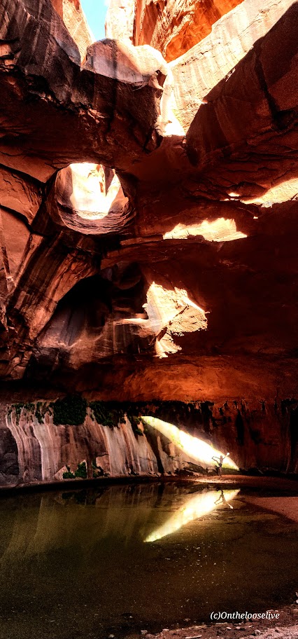
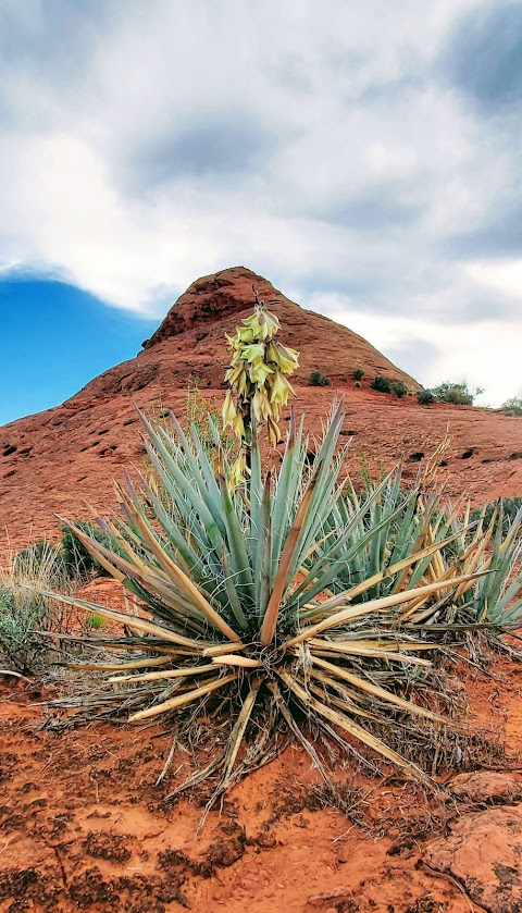
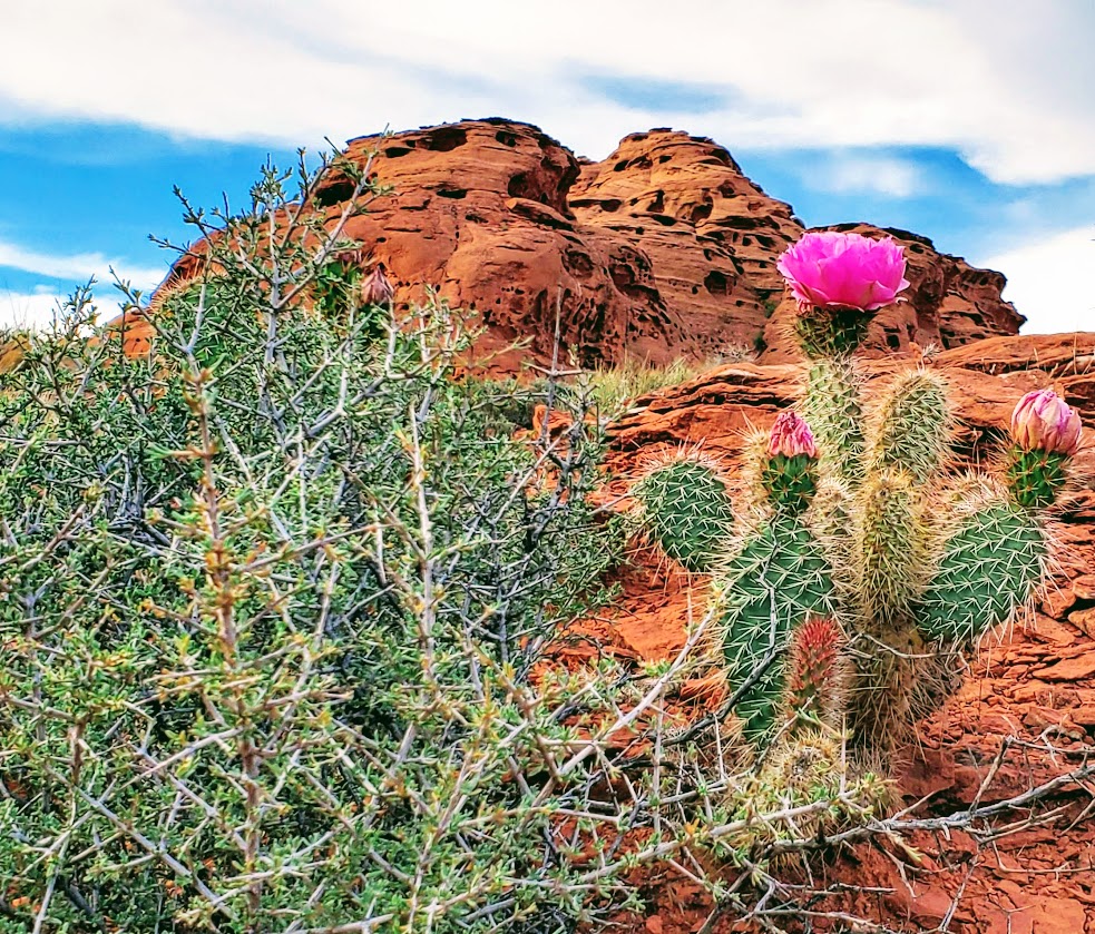
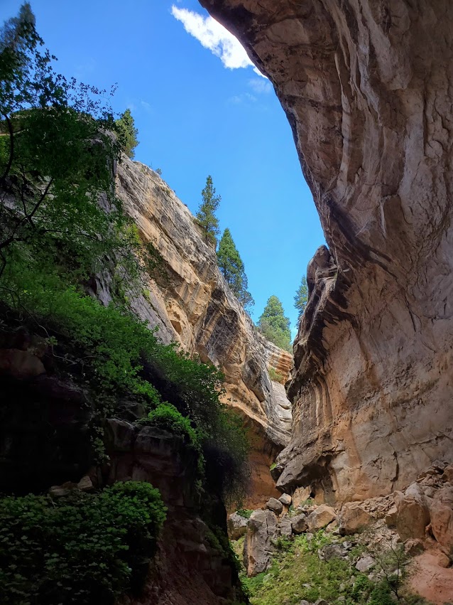
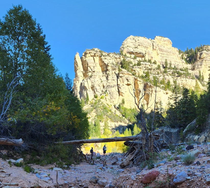
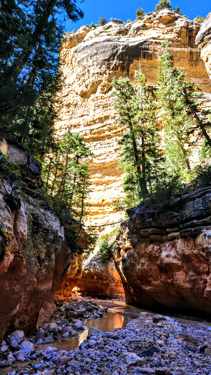
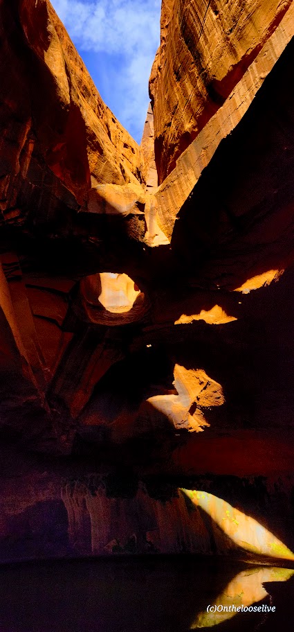
A well-hidden gem and one of the most dramatic and magical spots I’ve experienced in Utah. Well worth the considerable effort of driving nearly 30 miles of gnarly fire road and trudging through miles of deep sand. Almost the entire elevation loss/gain is in the first/last 2 miles. Imagine a deep sand slog, followed by a deep sand vertical climb, followed by a steep slickrock vertical climb, and you’ve imagined the final miles of the hike. About 80% of the hike is across exposed, arid desert, so take proper precautions! Dehydration, heat stroke, or worse, are real dangers, especially when the temperatures are high. Neon Canyon is susceptible to flash floods, so check your forecast before you go.

Navigation is a challenge as there is no trail per se. Cairns loosely mark the routes. Route finding, GPS, and backcountry skills are highly recommended.

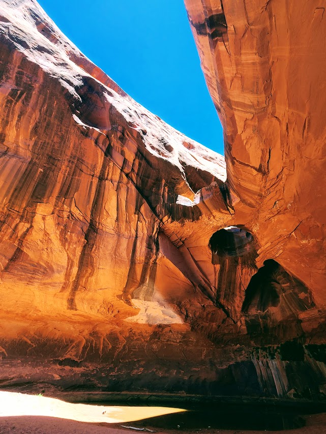
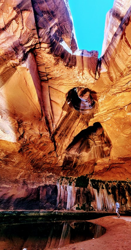
Check out the magical, mesmerizing reflections at the Golden Cathedral!

Fortunately, the tortuous 4-wheel drive to the trailhead and the deep sand slogging are great crowd deterrents.

On my second visit to this glorious spot, the late afternoon light was dazzling and dramatic.

Getting there, if you dare: From Escalante, drive east on Hwy 12, and turn south/R onto the infamously gnaryly Hole-In-the-Rock Road. Take this unpaved rough road 16.7 tortuous miles and turn left at the sign “Egypt -10 miles”.  Believe it or not, the road gets rougher from there. You’ll find the trailhead and its circular dirt parking lot on the left at the 10-mile mark.

Happy Trails!

Church Rocks—Glorious Views and Heavenly Sunsets for Nature Worshipers

Distance: ~5.2 loop

Difficulty: Easy, fire road, single track, slick rock

If you can get over the fact that you’re hiking alongside the 15 freeway (within sight and sound), this area still delivers big rewards. Whether you hike or mt. bike it, the panoramic views are stunning in every direction from Pine Valley Mt. to Zion. This area seems to capture the best golden light for spectacular sunsets. There’s more than meets the eye, here, at first it seems like just open landscape, but, there ae many nooks and crannies to explore—washes, mini slots, etc…The cluster of mammoth red, temple like, “Church Rocks” is a fun to explore. Watch for the hawks and swallows that have made this area their home.

Getting there: exit 13 from I-15 N, turn left onto Washington Pkwy and park in the parking spots. Red Cliffs Recreation area: You can access the Church Rocks Trail from the Grapevine Trail, Dino Cliffs Trail or to the south and Prospector to the north.

Note: The 100% exposed so be prepared with adequate water, hat, and sunscreen.

Ashdown Gorgeous: Chasing Waterfalls

Distance: ~7-9+ miles RT (Length depends upon how high the water is running and how many crossings are needed)

Elevation gain: ~700-1k FT Gradual Gain

Difficulty: Not technically difficult, but not for tenderfoots either. Teva or Keen style water shoes, old trail runners, or waterproof hikers are highly recommended as you are constantly in and out of the creek and the terrain is all rock, all the time. There is a wonderful payoff for those who persevere.

Spoiler alert:

Ashdown Gorge Trail is an out and back, slot canyon trail that follows a rocky, turquoise creek as it flows under overhangs and between shear limestone cliffs. The views are spectacular and dizzying at times.

This is a refreshing hike with plenty of opportunities to cool off. If you’re hiking on a cool day, the water crossings can be chilly.I hiked it a couple weeks ago and jumped into a little pool. This time, Labor Day weekend, it was too chilly for me to dunk in under the falls. Low temps in the area are dropping into the 30s next week.

Notes: At mile 3.5, the creek/trail forks. (It’s easy to miss if you aren’t paying attention.)  Take the trail to the left to discover the 2 wonderful waterfalls of Lake Creek and Rattlesnake Creek (adds 2 miles roundtrip). Stay straight to experience the slot canyon cracking open to the big sky of the gorge. Be prepared for weather, and don’t attempt this hike if there is rain in the forecast as there’s the danger of flash floods.

Photo update from September 2022. Leaves beginning to change. Ashdown Gorge never disappoints.

Happy Trails!

Tip: Post hike libations and sustenance at Don Miquel’s or the Centro Woodfired Pizzeria in Cedar City highly recommended.

Getting there: 15N to exit 57 to UT-130 to UT 14E UT (about 15 minutes form Cedar City) You can access the trail via the large pullout area along the 14 or via the Rattlesnake Trail, Crystal Springs / Potato Hollow Trail.