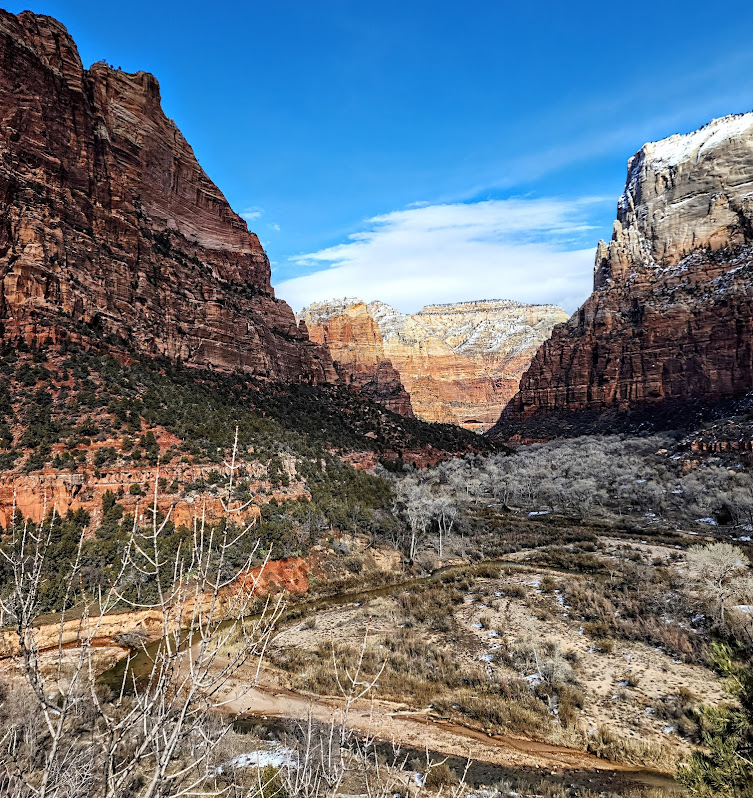
With its grand vistas, this short hike is lovely any time of year, but it is a special treat in the Spring when the wildflowers are blooming. I’ve never seen so many varieties in 1 hike! Note it can be a bit of a snow/mud fest in the winter.
Distance: 3.1 Out and back
Elevation: 636 ft
Difficulty: Easy to moderate depending on your fitness level
It’s been a minute since I’ve posted, I know. I’ve lost my mojo for it. It seems I’d rather be out in the wild adventuring versus reporting my adventures per se. Also, I’ve taken to off-the-beaten-path explorations, the kind that require a backcountry guide or advanced GPS and navigation skills to demystify. While my zeal for verbal show and tell has waned, I’ve become quite keen on photography. For now, my posts will be picture focused. Sorry, not sorry.
East Zion is magnificent, vast, and remarkably people-free. It’s also free of official trails, which makes navigation a challenge, except for those intrepid, experienced back-country types with finely honed navigation skills. This territory is not for families, recreational hikers, “tourons”, instaorons, or tikorons, if ya know what I mean. It’s potentially dangerous with hazards like quicksand and near vertical scrambling on slick slickrock with precipitous drops. Yep, you read that right—quicksand. “Did you see where little Timmy went?” Oops, that first step can be a doozy. I didn’t realize they had quicksand out here either. Not something you want to find out the hard way. Another reason to hike with a buddy and to have some kind of emergency alert system.
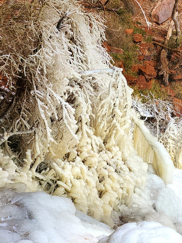
Sound scary? It should. It seems weekly, there are rescues and deaths in the ravishingly beautiful, but harsh playground of Southern Utah. A simple reflecting pool in a wash can turn into your worst nightmare. Quicksand can be lurking in the glistening sand next to a puddle in a wash like the one below. Your foot may sink up to the ankle or in a split second you could be submerged up to your waist and immobilized as happened to an experienced backcountry hiker I know. On the same hike, another experienced backcountry hiker I know slipped on the slickrock and fractured and dislocated her shoulder. Sure, accidents can happen walking out your front door, but you’re particularly vulnerable to the elements when you’re out in the backcountry.
Enough doom and gloom. Just be careful out there. Adventure and explore, but don’t get in over your head so to speak.
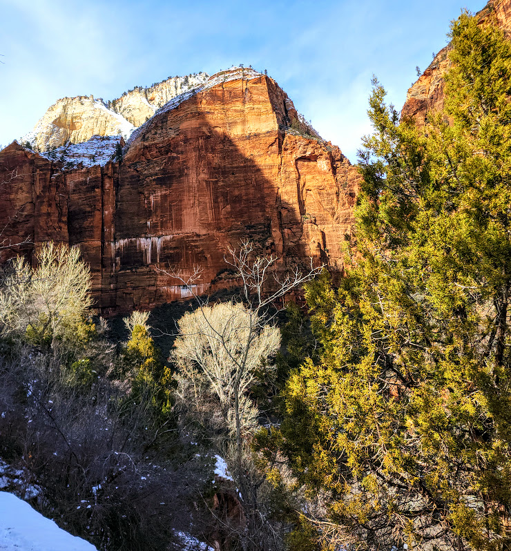
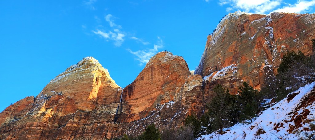
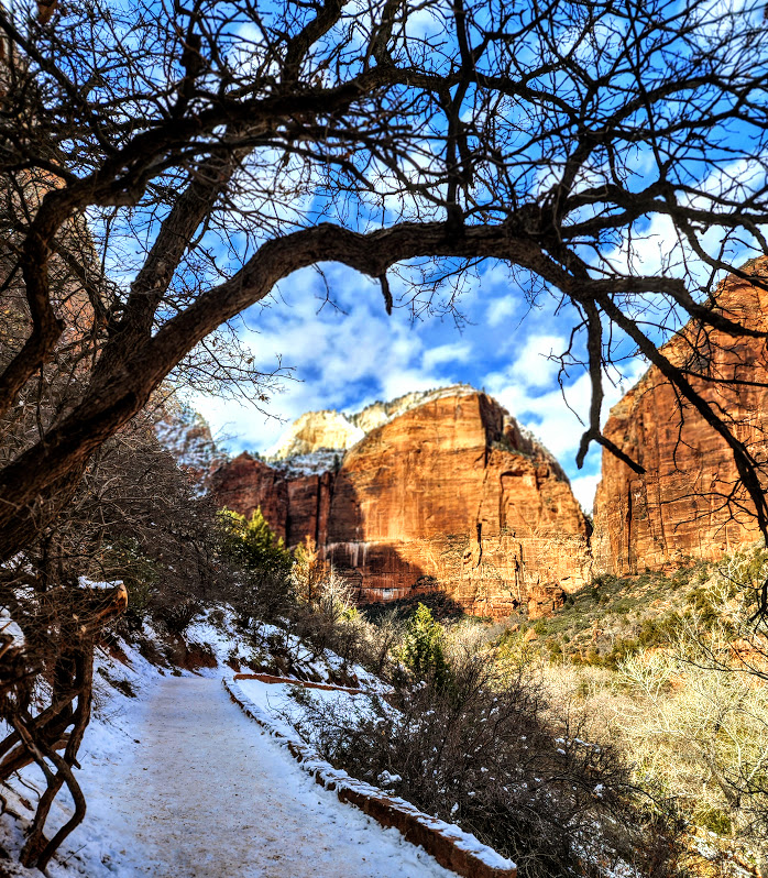
Turned into a human popsicle to get you this glimpse of Zion’s winter wonderland.
If you do venture out in the winter, be sure to over prepare. There have been many rescues and unfortunately too many deaths in Zion – mostly from hypothermia and exposure (even in the warmer months). The elements are no joke out here. Crampons are a must in icy conditions. Adequate layers, gloves, hats, etc…Hydratation is just as critical though harder to swallow in the winter (I know).
Zion is magical all right, but even more so at sunset with the locals.
Don’t worry, I’ve got great zoom power on my camera. I respect wildlife and keep a respectful distance. Unfortunately, Zion big horn are habituated to humans and quite curious and may even approach you.
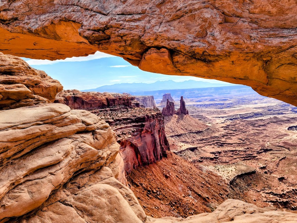
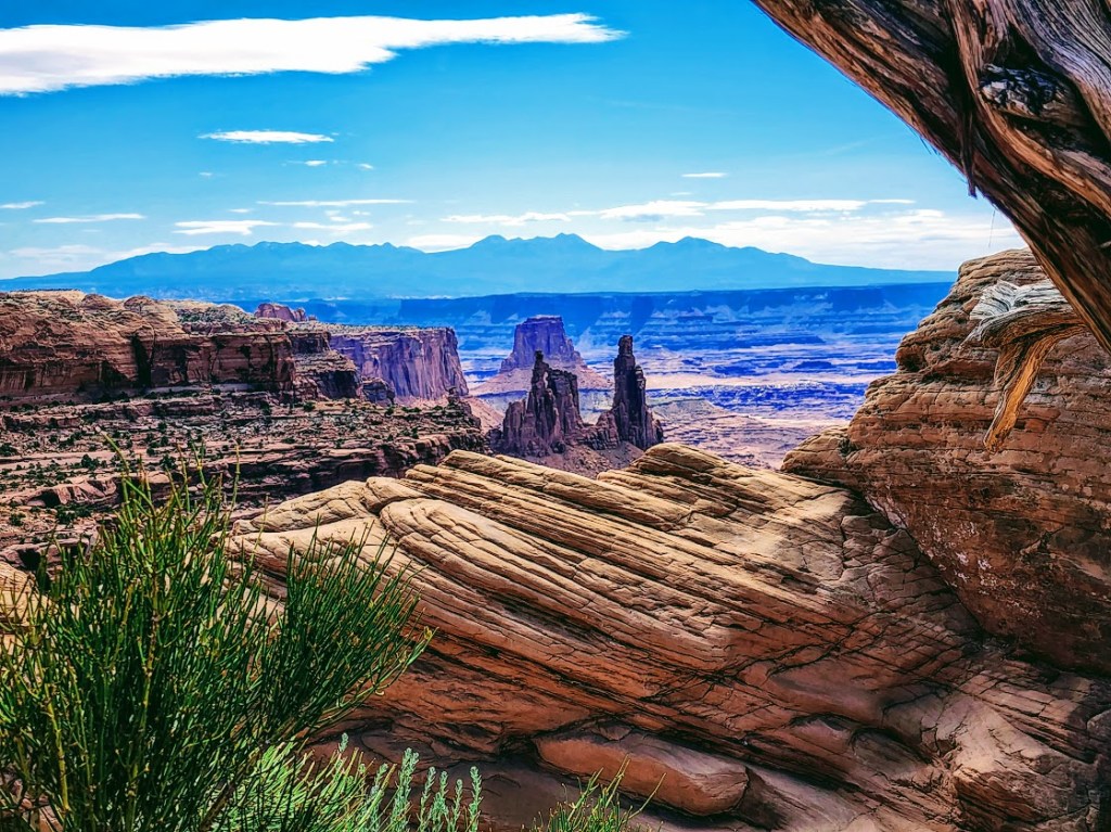
So many parks, so little time. Had a chance to step into Canyonlands for a super quick explore of Mesa Arch (1/2 mile stroll to a heavily populated and photographed arch) and Upheaval Dome (.75 or 1.5 miler).
Mesa Arch
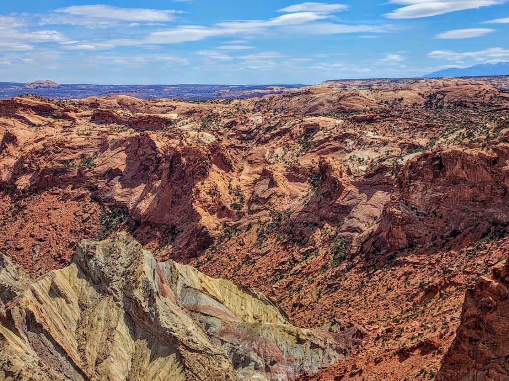
Upheaval Dome A mysterious 3-mile area of deformed rock layers. In the center, the rocks form a dome. The rock layers surrounding the dome fold away in the opposite direction. There are 2 theories about what caused the folds of Upheaval Dome.
Some geologists believe that Upheaval Dome is the result of a salt dome and erosion from the rock layers above the dome itself. If so, Upheaval Dome would be considered the most deeply eroded salt structure on earth.
Other geologists and recent research support the theory that it’s a partially collapsed impact crater from a meteorite dating back ~60 million years.
Whatever it is, it’s cool to observe this geological anomaly and ponder the mystery.
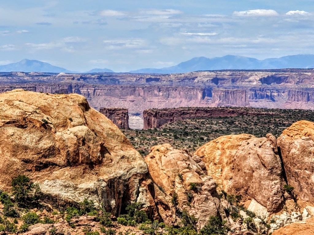
Canyonlands National Park is divided into 4 districts by the massive canyons of the Green and Colorado Rivers—the short hikes to big overlooks of Island in the Sky, longer day and backpacking hikes in The Needles, to the remote wilds of The Maze
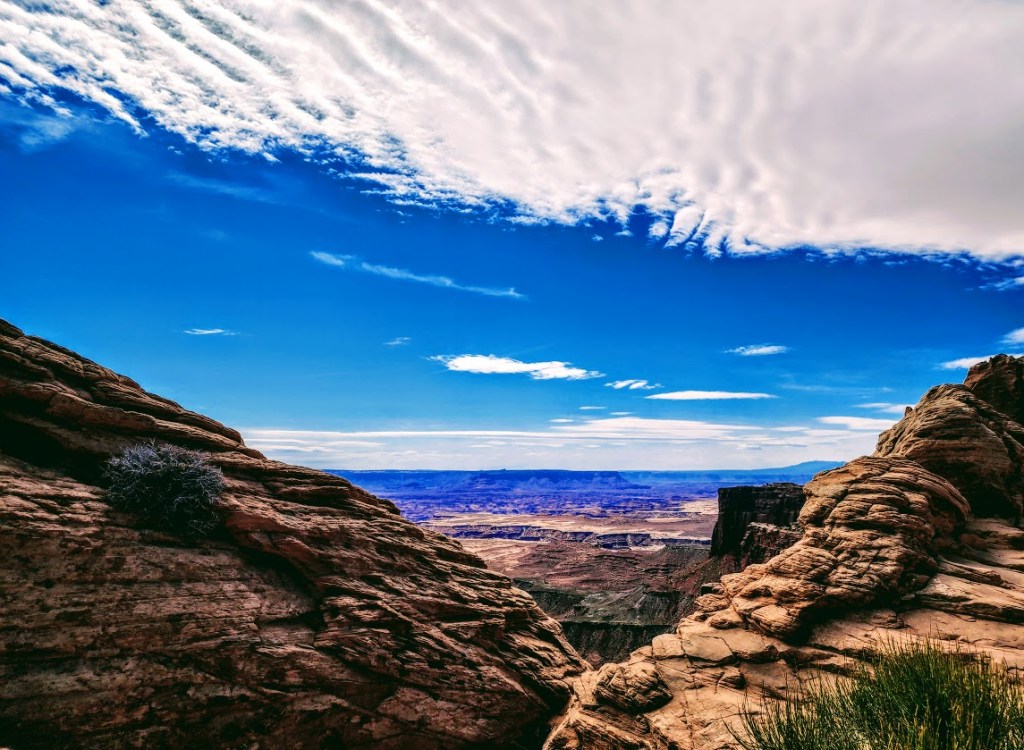
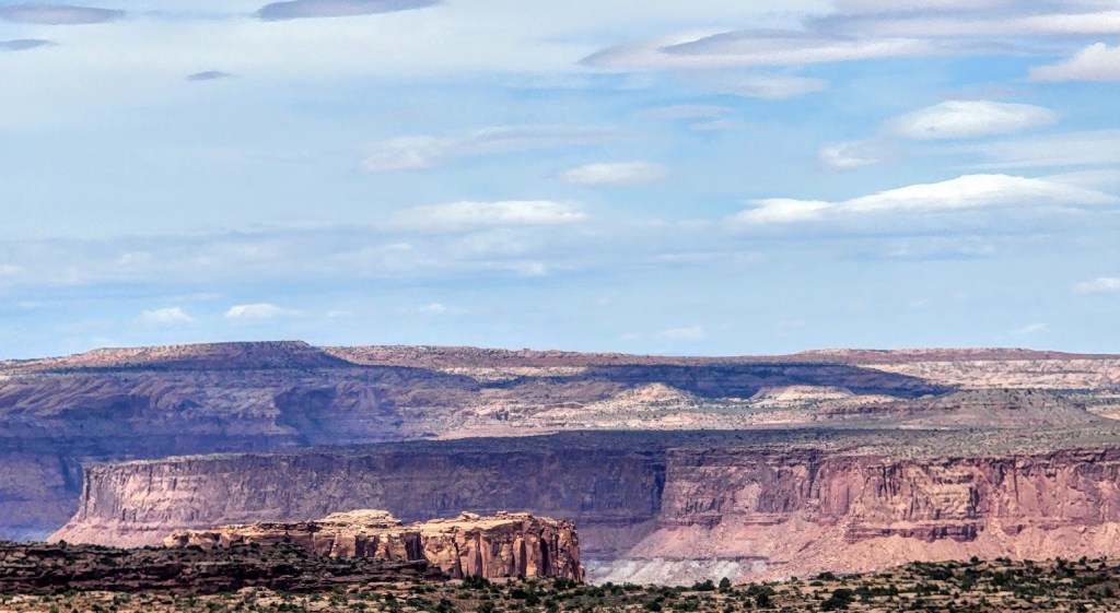
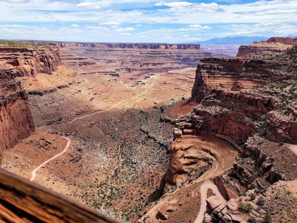
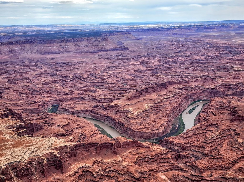
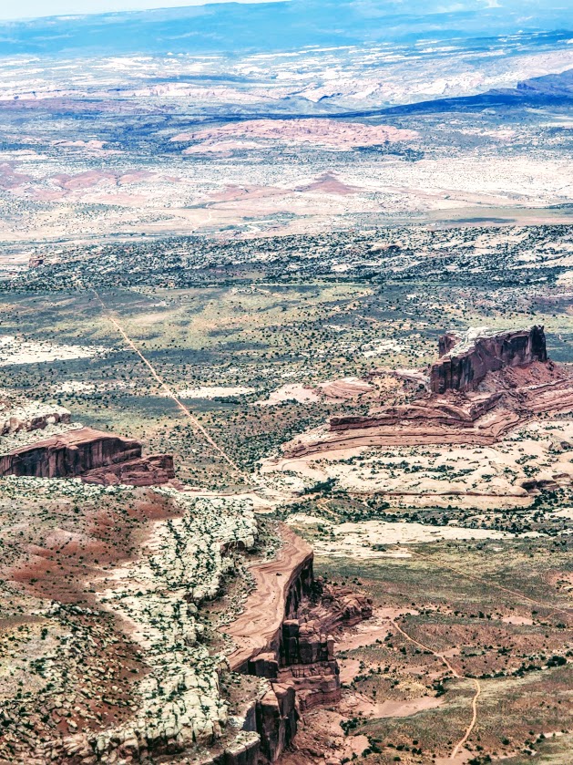
Just driving around, you can see views like these.
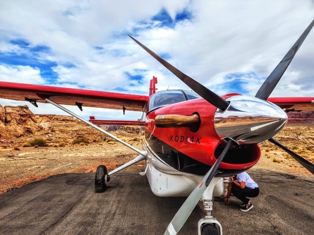
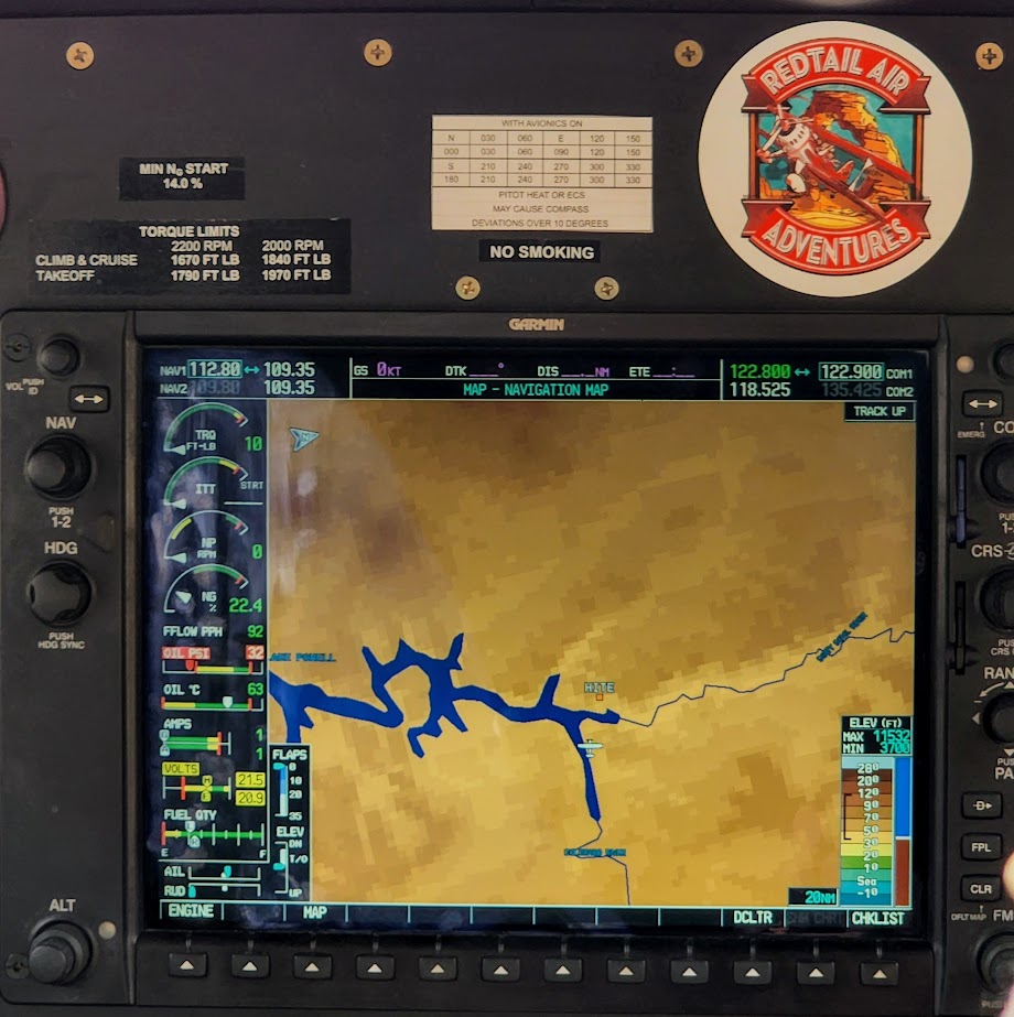
I was fortunate to get a bird’s eye view of this geological wonderland flying in a little Kodiak with Red Tail Adventures, our ride back from white water rafting (post to follow).
Getting to each district of the park (they are unconnected):
From US 191 south of Moab, UT 211 leads to The Needles.
It’s a long 4-wheel drive journey to get to the The Maze (The Hans Flat Ranger Station is 2.5 hours from Green River, Utah. From I-70, take UT 24 south for 24 miles. A left hand turn just beyond the turnoff to Goblin Valley State Park will take you along a two-wheel-drive dirt road 46 miles (76 km) southeast to the ranger station.From the ranger station, the canyons of The Maze are another 3 to 6 hours by high-clearance, four-wheel-drive vehicle (more if traveling by foot). Another four-wheel-drive road leads into The Maze north from UT 95 near Hite Marina (3 hours to the park boundary).
Note: High heat and sun exposure in the summer. Avoid the hottest times of the day and bring plenty of sunscreen, a hat, water, and salty snacks.