Distance: 7.3 Miles RT (According to my Garmin, 6.8 miles according to Alltrails, and 5 miles according to the sign in the parking lot-lol.)
Difficulty: Easy (depending on fitness level and altitude acclimation), gradual ascent and descent on an old service road.
Elevation Gain: 1,332 ft over 3.5 miles to reach the fire lookout at the peak.


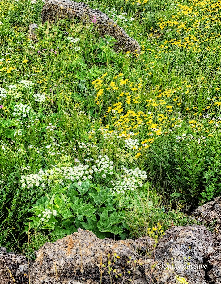


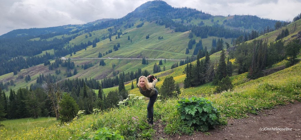
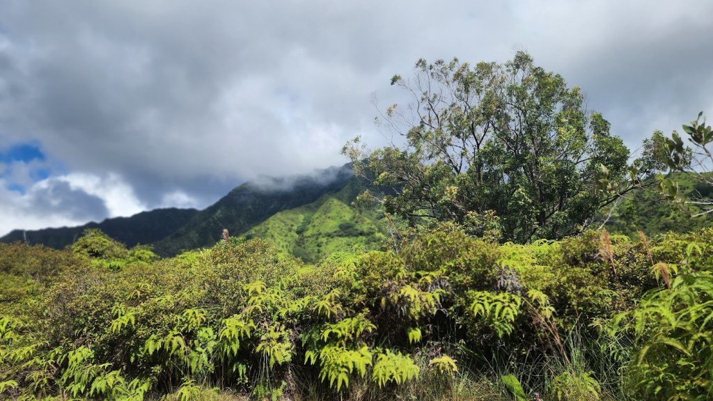
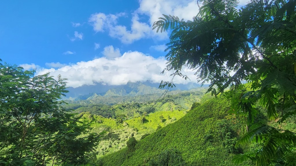
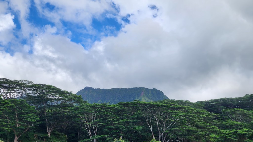
Wonderful Mount Washburn, at an elevation of 10,219 feet, is the most popular summit hike in Yellowstone National Park. It’s easy to see why. Named in 1870 after Henry D. Washburn, the Washburn–Langford–Doane Expedition leader, the hike features panoramic views from the start, wildflowers, wildlife sightings (only chipmunks and a grouse for me), a fire lookout tower with interpretive exhibits, an enclosed observation deck, and restrooms. Bagging this peak is relatively easy as you ascend gradually on an old service road.


Notes: No dogs. Be prepared for rapid weather changes and afternoon thunder and lightning storms, especially in the summer. Be bear alert and bring bear spray just in case. (They love this trail too.)
South & North Trailhead options: The South Trailhead is located along the Grand Loop Road between Canyon and Tower (7-mile route). To access the north trailhead (shorter route with a little less elevation ~5 miles), take the unpaved Chittenden Road 1.3 miles to the trailhead. From the top, I spied a couple more trails to explore, but alas, I ran out of time.
Happy Trails!