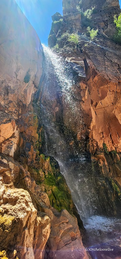
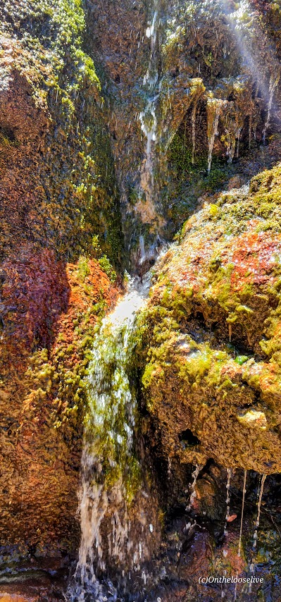
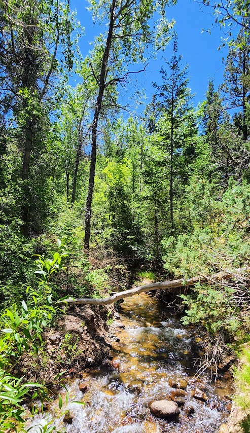
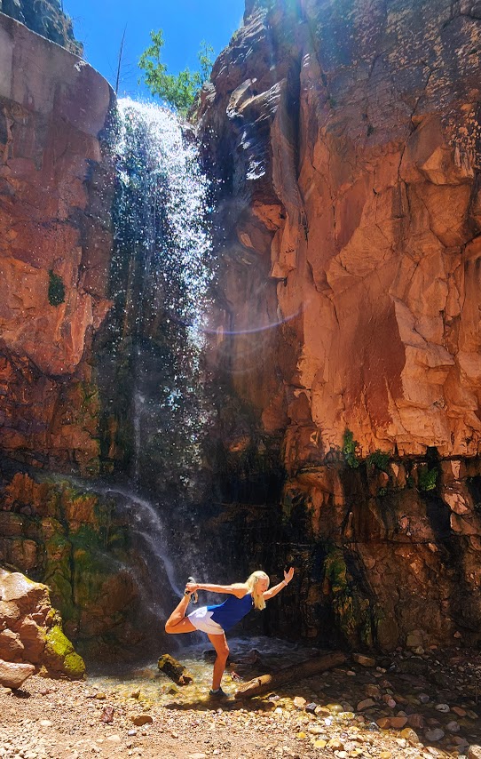
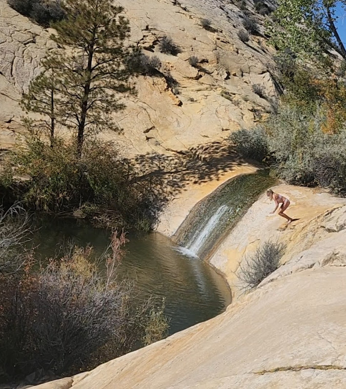
A short, shady stroll with some trail washout and a little scrambling at the end delivers a wonderful waterfall reward.
Great to top off another hike, take a roadtrip leg stretch, or have a lovely picnic spot.
Stay tuned for the videos.
Getting there:
The trailhead parking lot is located on the north side of SR-143, otherwise known as the Brian Head-Panguitch Lake Scenic Byway. Enjoy the entire scenic route if you can.
It’s been a minute since I’ve posted, I know. I’ve lost my mojo for it. It seems I’d rather be out in the wild adventuring versus reporting my adventures per se. Also, I’ve taken to off-the-beaten-path explorations, the kind that require a backcountry guide or advanced GPS and navigation skills to demystify. While my zeal for verbal show and tell has waned, I’ve become quite keen on photography. For now, my posts will be picture focused. Sorry, not sorry.
East Zion is magnificent, vast, and remarkably people-free. It’s also free of official trails, which makes navigation a challenge, except for those intrepid, experienced back-country types with finely honed navigation skills. This territory is not for families, recreational hikers, “tourons”, instaorons, or tikorons, if ya know what I mean. It’s potentially dangerous with hazards like quicksand and near vertical scrambling on slick slickrock with precipitous drops. Yep, you read that right—quicksand. “Did you see where little Timmy went?” Oops, that first step can be a doozy. I didn’t realize they had quicksand out here either. Not something you want to find out the hard way. Another reason to hike with a buddy and to have some kind of emergency alert system.
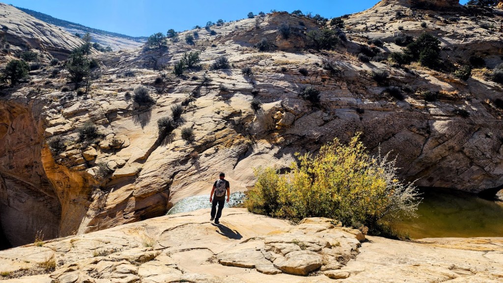
Sound scary? It should. It seems weekly, there are rescues and deaths in the ravishingly beautiful, but harsh playground of Southern Utah. A simple reflecting pool in a wash can turn into your worst nightmare. Quicksand can be lurking in the glistening sand next to a puddle in a wash like the one below. Your foot may sink up to the ankle or in a split second you could be submerged up to your waist and immobilized as happened to an experienced backcountry hiker I know. On the same hike, another experienced backcountry hiker I know slipped on the slickrock and fractured and dislocated her shoulder. Sure, accidents can happen walking out your front door, but you’re particularly vulnerable to the elements when you’re out in the backcountry.
Enough doom and gloom. Just be careful out there. Adventure and explore, but don’t get in over your head so to speak.
Elevation gain: ~2,162 steep ft, all the elevation gain is on the way back
Difficulty: Hard/challenging, not for the faint of heart or knees
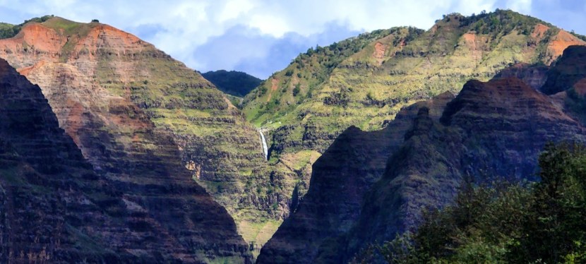
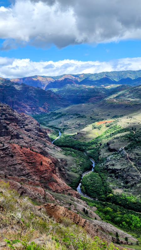
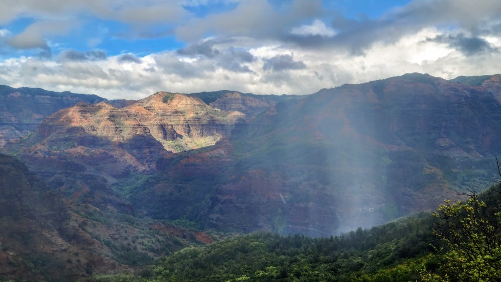
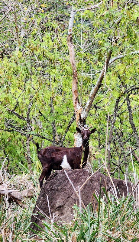
The upsides of the Kukui Trail are the wild views of the colorful west side of Waimea Canyon (a kaleidoscope of red ochre, charcoal, and every shade of green) and the great workout you get as you climb all the way back up to the top. The last section at the bottom is an enticing path through a forest, which ends at the rocky river. Go quietly and if you’re lucky you might be graced by the sight of frolicking feral goats.
There is a some satisfaction to traversing to the river that seemed impossibly far away when you viewed it from the scenic turn outs high above. Reaching the rocky river bed itself was a bit anti-climatic, aside from rooster and goat sightings. I imagine it might be fun to scramble along the river, but I ran out of time.
Critters that you might encounter: the ubiquitous Kauai roosters and shy feral goats.
Notes: Strongly suggest hiking shoes and a pole or 2 might help as well. Wouldn’t attempt if it is raining or has rained heavily —terrain is also slippery when dry. This is seasonal pig and goat hunting area -yikes – not sure how that works, given that it’s a popular hiking area. Gives “I survived the Kukui Trail” new meaning!
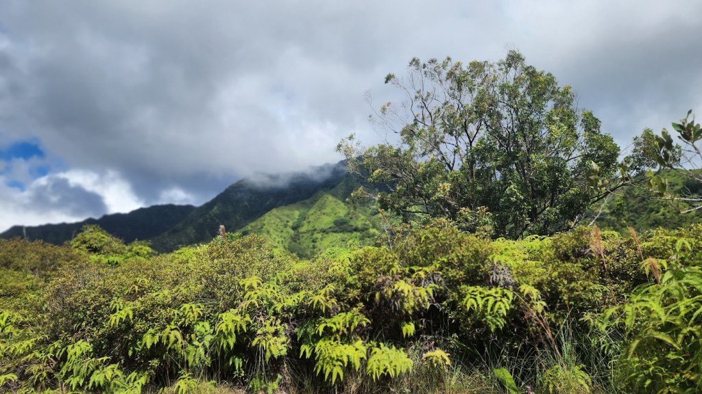
Here’s what a good portion of the steep descent / ascent looks like before you enter the woods- surreal 3d blurred effect due to rain & operator error, but you get the idea.
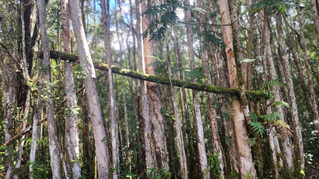
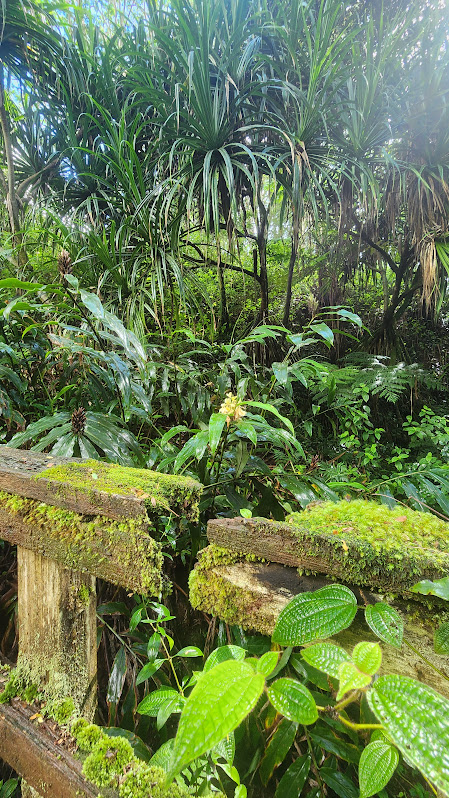
Forest colors
Getting there: Highway 550, about 0.75 miles past the 8-mile marker. Parking is along the road.
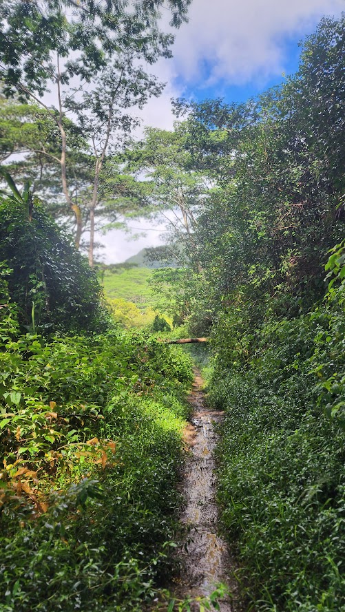
Difficulty: Easy to moderate, depending on your fitness level and the last time it rained. As with most trails in Kauai, it can be a slick, slippery, and treacherous mudfest.
Elevation gain to the 2.5 mark: 915ft, it’s gradual and friendly
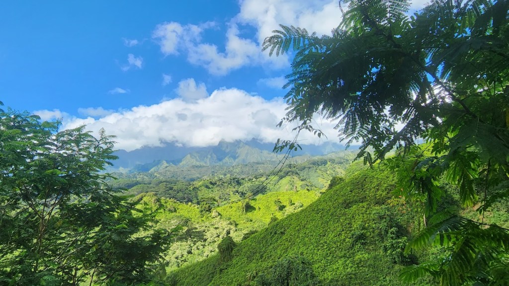
Mileage: ~4+ out and back you choose the distance, car shuttle to Olohena Road for ~8 miles , or don’t for ~16 miles) My understanding is the best views are from the Kuilau approach vs Olohena Road so if you only have time for a shortie, go with Kuilau. It was spectacular, quintessential Kauai mountain scenery,
Terrain: Ranges from fire road width gravelish surface to single track, slippery slide.
Short, steep, and super sweet waterfall and pools hike. The upper sister to Lower Calf Creek Falls— both doable in a day if you’re into chasing waterfalls and plunging into icy pools.
Elevation gain/loss ~600ft (per alltrails), 1,476ft (per Garmin) – uh, idk, split the difference? (Felt like more than 600ft and less than 1,400.) Let me know what elevation reading you get.
Miles: 2-3 RT, depending on how much you wander and explore.
Difficulty: Easyish, depending upon knee health and fitness level—Starts and ends with a half mile of steep slickrock descent and ascent, respectively – daunting to many – all the better for the few.
Highlights: Dramatic Navajo Sandstone slickrock landscape with expansive vistas, an 87-foot-high waterfall, and a couple cool (in more ways than 1) pools set in a shady riparian oasis.
Getting there is half the fun: The trailhead is 22.4 miles NE of Escalante between mileposts 81 and 82 off of UT-12, which is one of the most beautiful scenic byways in Utah, and many would argue in the entire US. Parking is free.
Post Hike Rewards at Escalante Outfitters—their Pizza is the Best!!!