
Tour company: Green Trails Guide: Tui My rating: Excellent, highly recommend
After lunch, we drove another hour climbing steadily North alongside a river and happy Songkran celebrants young and old. (Thai New Year Festival is April 13-15.) Songkran traditions include visiting local temples and offering food to the Buddhist monks and drizzling water on Buddha statues. This water ritual symbolizes the cleansing of one’s sins and bad luck. Paying reverence to ancestors and returning home are also an important part of the Songkran tradition.
The holiday is perhaps best known for its water festival, which is mostly celebrated by the young and young at heart. Basically, it’s a countrywide, good natured water fight.
Traveling in the back of a tourist transport truck we were sitting ducks for playful ambush by hoses, buckets and hopped up water guns from both sides of the road and passing trucks. Unfortunately, I don’t have any pics of this as I didn’t have a waterproof case for my camera. (I do have one for my cell phone so I will try to capture some of the fun upon return to Chiang Mai.)
We started trekking in the heat of the day. (About 103 F.) My travel buddy Walter and I were on a “join in” tour, but no one else joined so it was our private tour. We didn’t see any other foreigners until the end of the last day.


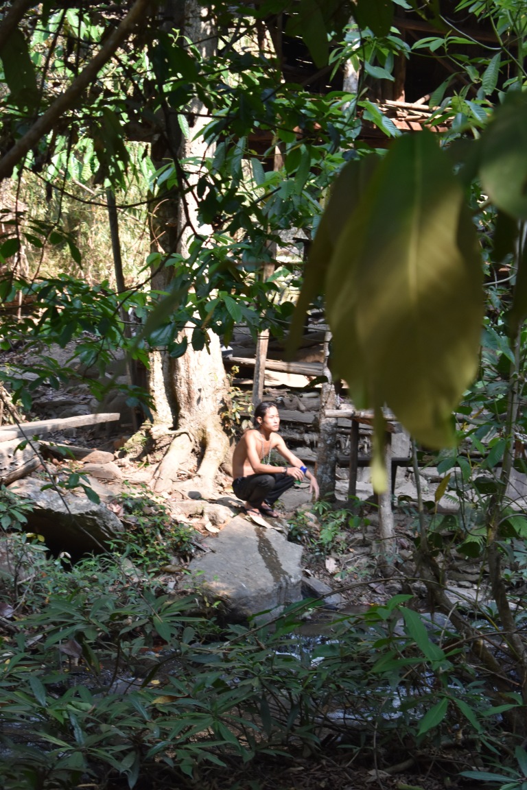
It was a hot, dry, upward slog. Far drier and a bit scrappier of a trail than I’d imagined. Of course, April is the hottest and driest month of the year. How hot was it? So hot there were no mosquitoes even along the stream that we followed up to a waterfall. Ahh, what a refreshing reward at the halfway point and an our first introduction to a couple of Karen tribesmen.


Some of my favorite pics of today’s trek are these of a local at the waterfall and a farmer and his ranch. The crop is peanuts, rotating from rice. I’m using my new Nikkon D3400 for most of these. (My first “real” camera.) Can you tell the difference?
What an incredible experience this is! Up a hill and around the corner, an unexpected surprise…to be continued…

 Notice the sky in this picture? So much for fresh mountain air. My first impression upon arriving at the airport in Chang Mai was “YIKES”. I haven’t seen smog as bad as this in a while. I was hoping it wouldn’t be like this in Mae Wang where we were heading. My second impression was hey, I thought it was supposed to be cooler here than Bangkok.


