Devil’s Garden Loop, Arches National Park, UT

Distance: 8 miles via the “Primitive Trail”

Elevation Gain: 1,085 Ft

Difficulty: Easy to moderate, mild scrambling and slick rock traverses, requires some route finding, download a map

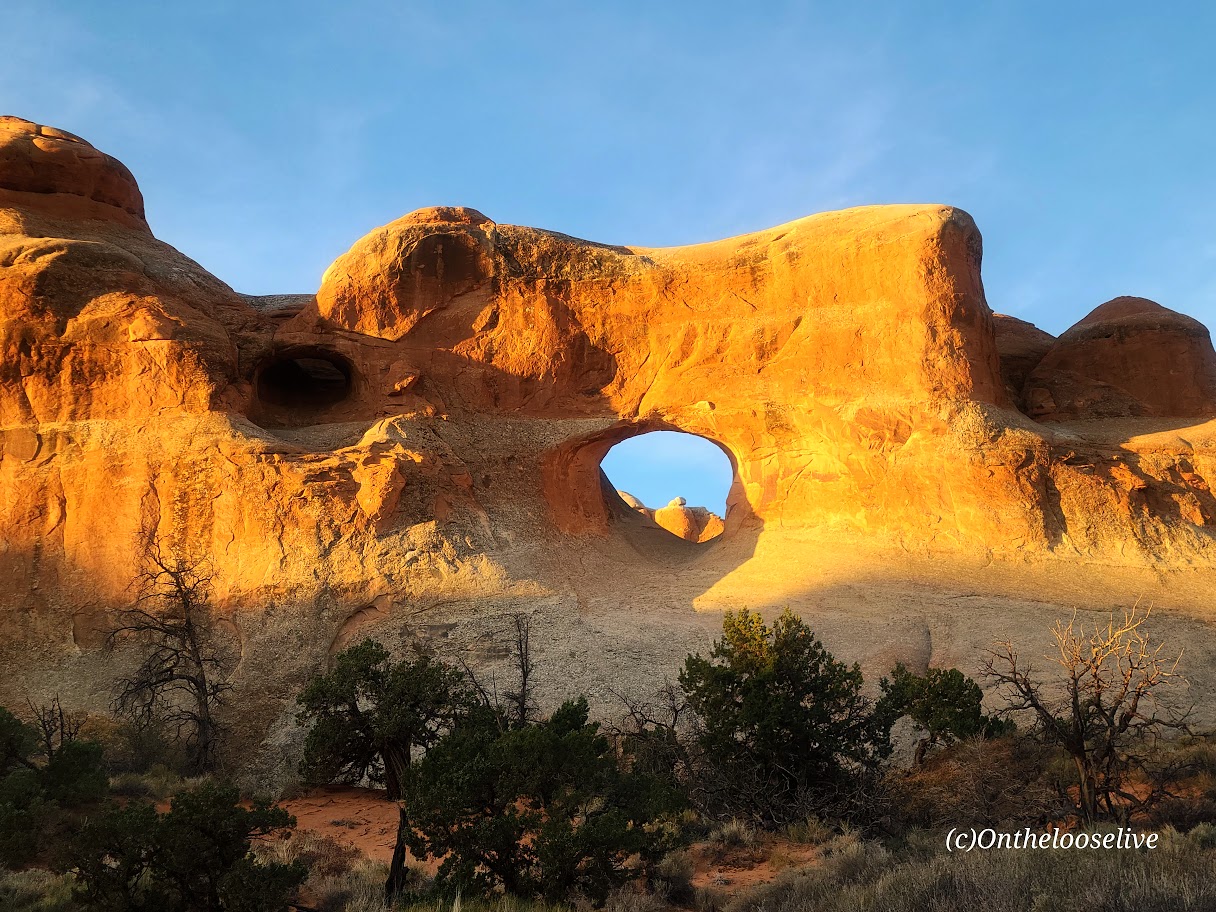
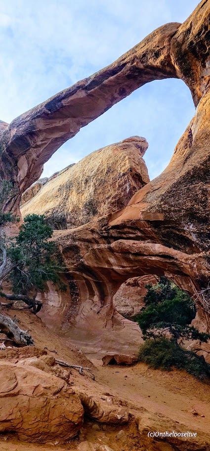
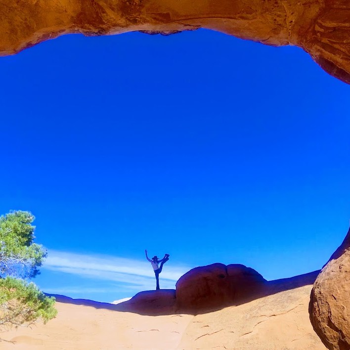
This hike will take you on a fun tour of 9 of the 2,000 arches in Arches National Park, including Landscape Arch, which is the longest arch in the world. So many arches so little time! The good news is in this park, no matter how short on time or energy you may be, there’s always an arch to see from the road or just a few steps away.

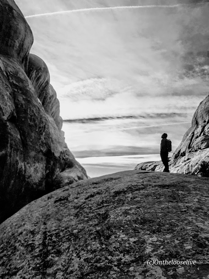
The first 2-miles of the Devil’s Garden Loop or so is on an easy wide gravel trail. (There are 3 arches in the first couple of miles, Tunnel Arch, Pine Tree Arch, and Landscape Arch. Beyond that the trail gets more interesting as it branches into a loop and takes you up a mild scramble to a slick rock traverse. While the trail is relatively well marked by cairns, there are a few tricky spots along the slick rock traverses. If you’re used to hiking across our rugged Utah topography, you won’t blink. If you take the loop counter clockwise, you’ll see all the arches at the beginning and middle of the hike. Word to the wise, we ran into a couple of people who were lost even though they were following their downloaded AllTrails map.

If you’re short on time or energy, the imposing Dark Angel rock formation can be seen and photographed best (IMO) from the distance from Double-O Arch area so you can skip the offshoot trail to it and shave about a mile off the hike’s total distance. (I took a picture up close that didn’t even make my final cut. )

On the other hand, if you have extra time and energy, you can drive down the road and add on a 3-mile loop hike to Sand Dune Arch, Broken Arch, and Tapestry Arch. (Sand Dune Arch is only a half mile total distance, add Broken Arch for 1.5 miles, and Tapestry Arch for ~3 miles.)

If you go, let me know which arches were your favorites!

Happy Trails!

Canyonlands Geological Wonderland, Moab, UT

So many parks, so little time. Had a chance to step into Canyonlands for a super quick explore of Mesa Arch (1/2 mile stroll to a heavily populated and photographed arch) and Upheaval Dome (.75 or 1.5 miler).

Mesa Arch

Upheaval Dome A mysterious 3-mile area of deformed rock layers. In the center, the rocks form a dome. The rock layers surrounding the dome fold away in the opposite direction. There are 2 theories about what caused the folds of Upheaval Dome.

Some geologists believe that Upheaval Dome is the result of a salt dome and erosion from the rock layers above the dome itself. If so, Upheaval Dome would be considered the most deeply eroded salt structure on earth.

Other geologists and recent research support the theory that it’s a partially collapsed impact crater from a meteorite dating back ~60 million years.

Whatever it is, it’s cool to observe this geological anomaly and ponder the mystery.

Canyonlands National Park is divided into 4 districts by the massive canyons of the Green and Colorado Rivers—the short hikes to big overlooks of Island in the Sky, longer day and backpacking hikes in The Needles, to the remote wilds of The Maze

Just driving around, you can see views like these.

I was fortunate to get a bird’s eye view of this geological wonderland flying in a little Kodiak with Red Tail Adventures, our ride back from white water rafting (post to follow).

Getting to each district of the park (they are unconnected):

From US 191 north of Moab, UT 313 leads to Island in the Sky.

From US 191 south of Moab, UT 211 leads to The Needles.

It’s a long 4-wheel drive journey to get to the  The Maze (The Hans Flat Ranger Station is 2.5 hours from Green River, Utah. From I-70, take UT 24 south for 24 miles. A left hand turn just beyond the turnoff to Goblin Valley State Park will take you along a two-wheel-drive dirt road 46 miles (76 km) southeast to the ranger station.From the ranger station, the canyons of The Maze are another 3 to 6 hours by high-clearance, four-wheel-drive vehicle (more if traveling by foot). Another four-wheel-drive road leads into The Maze north from UT 95 near Hite Marina (3 hours to the park boundary).

Note: High heat and sun exposure in the summer. Avoid the hottest times of the day and bring plenty of sunscreen, a hat, water, and salty snacks.

Happy Trails!