Your Ticket to Autumn Bliss, Owl Creek Path, Aspen, CO

Distance: ~20 miles RT, Buttermilk to Snowmass

Elevation Gain: ~1k

Difficulty: Depends on your fitness level and whether you’re self-propelled or e-propelled (Class 1 only). It also depends on your sensitivity to, or acclimatization to, altitude, as you’ll be +/- 8k ft.

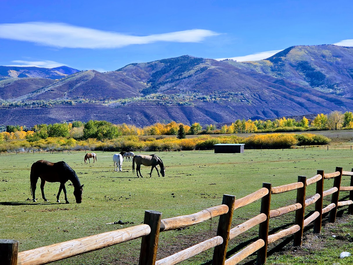
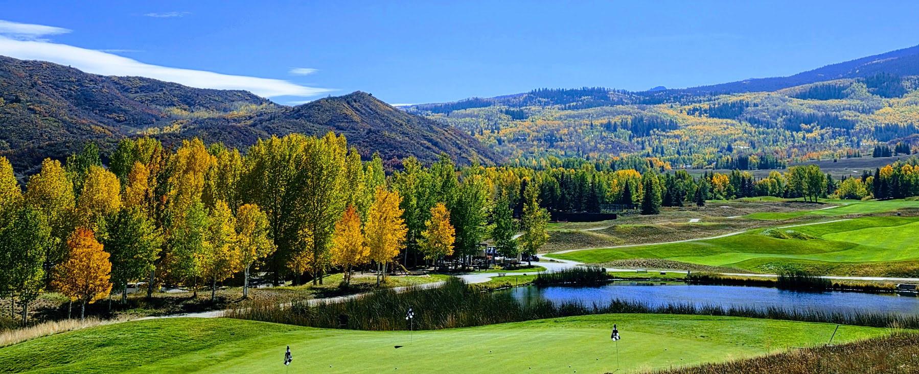
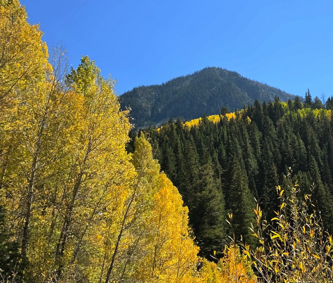
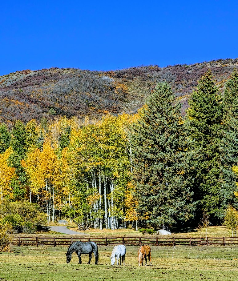
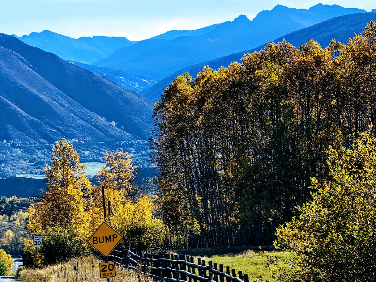
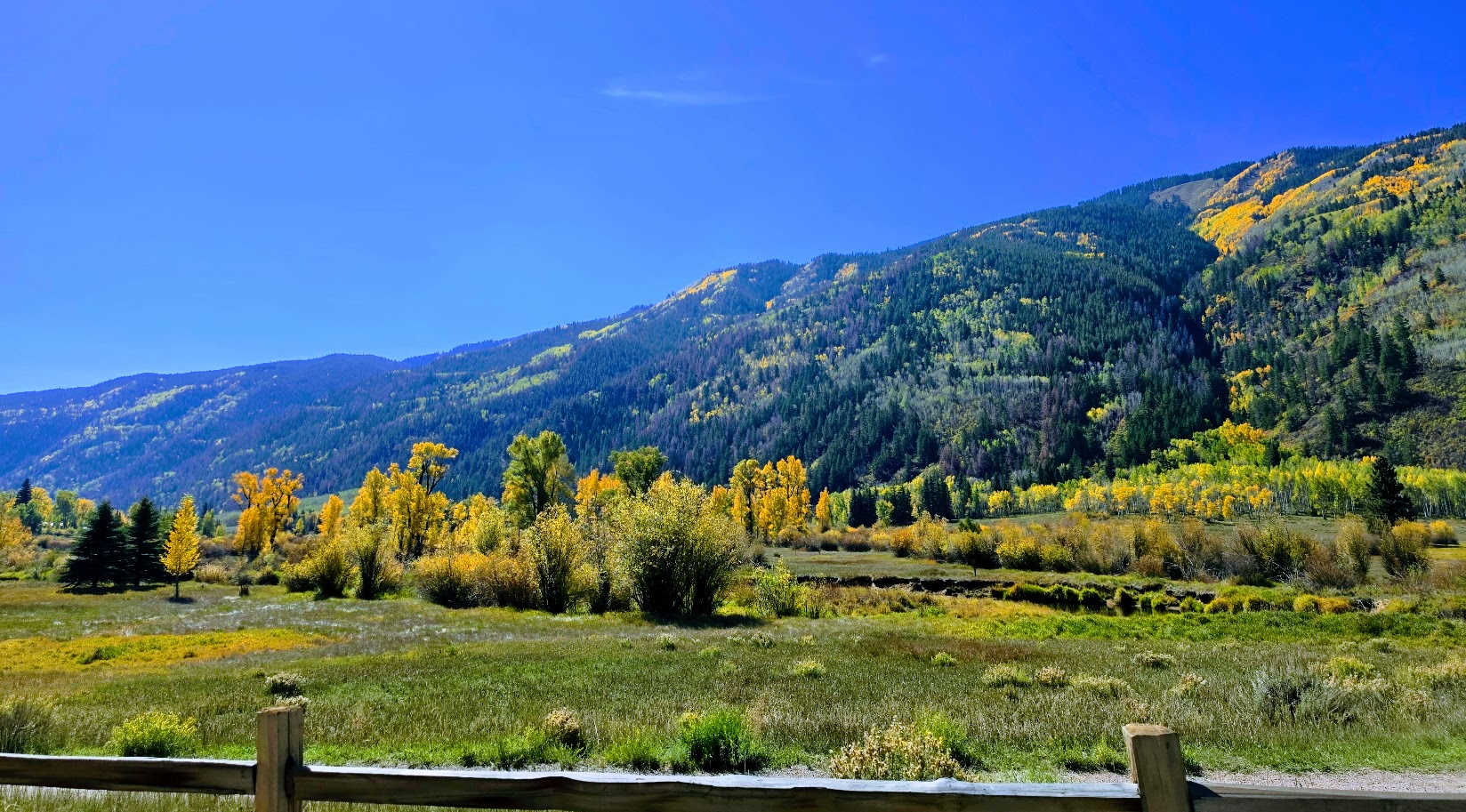
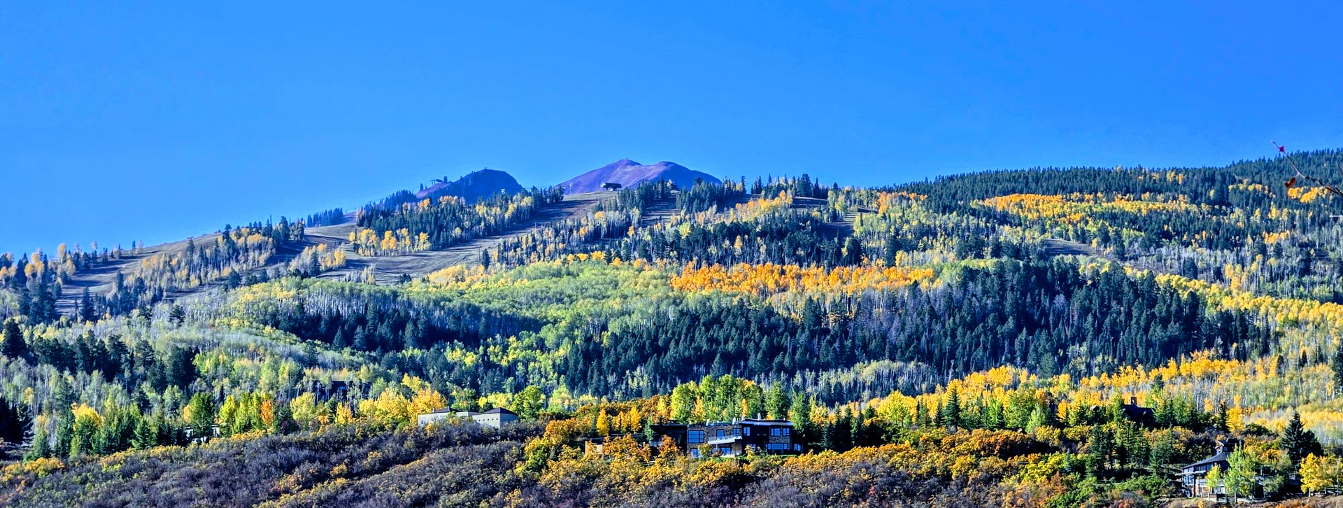
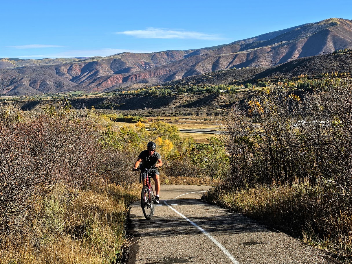
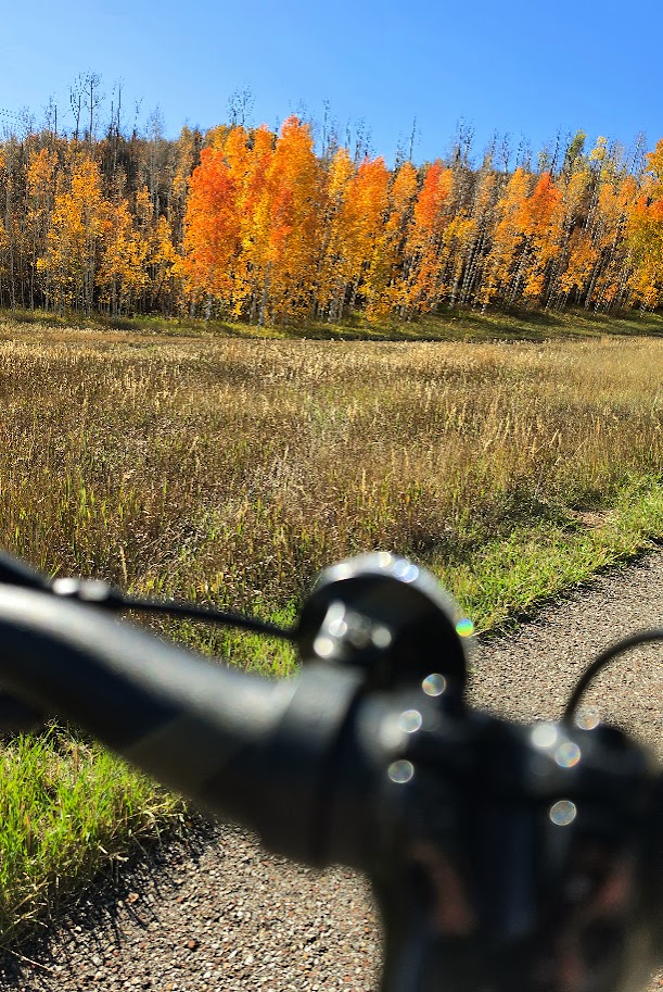
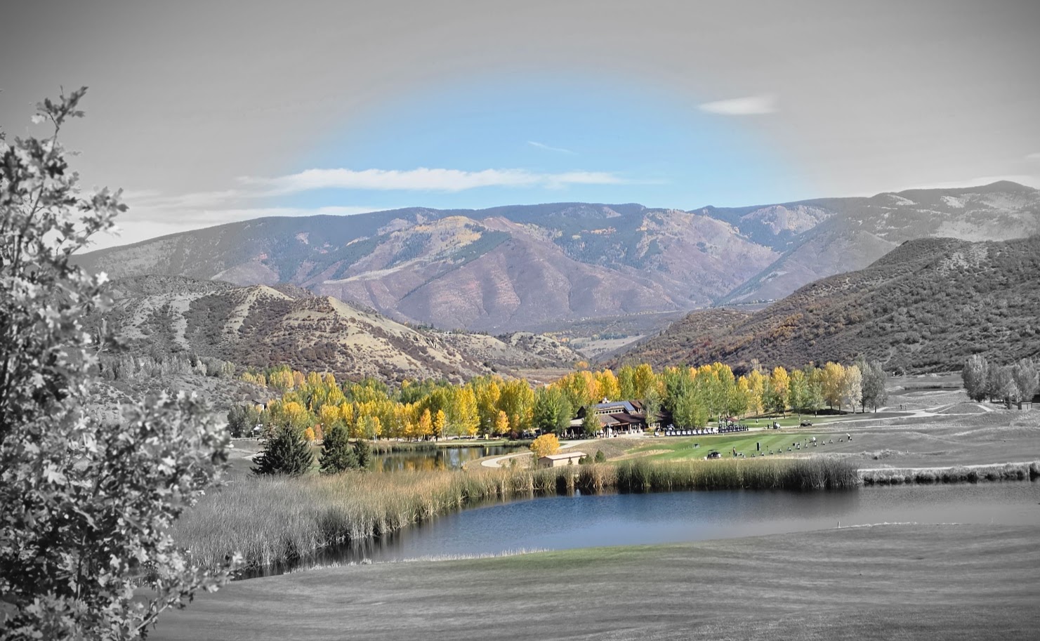
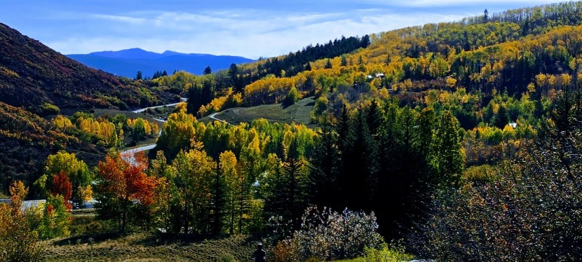
This lovely path starts near the airport and winds through scenic horse farms and aspen groves, crossing tree-covered bridges. If you are in Aspen in the Fall, you must make time for this quintessential Autumn experience—on foot or wheels.
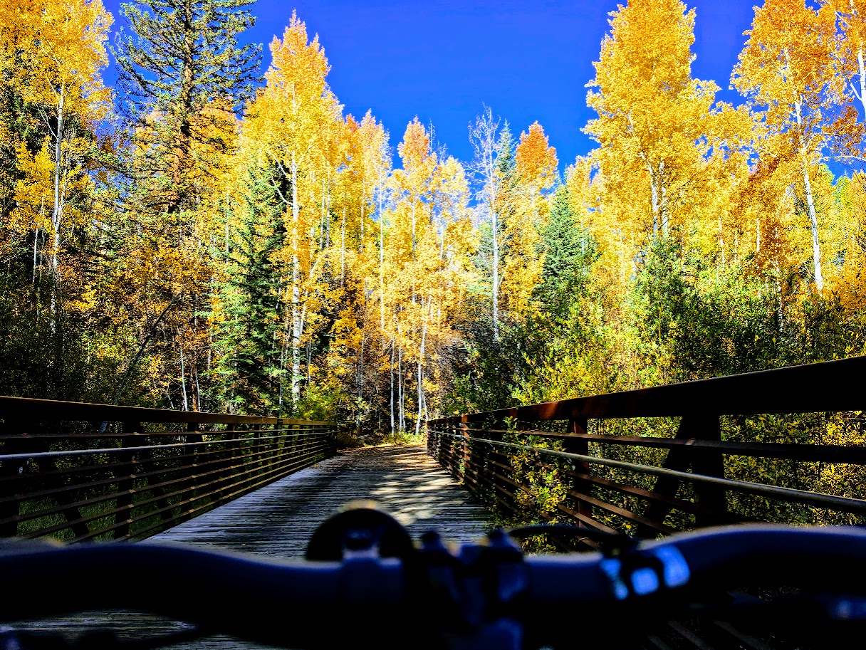
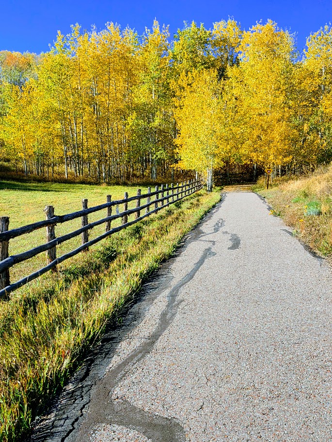
I let the beauty be my guide and explored some offshoot roads along the way. Disclaimer: if you “chose your own adventure,” as I did, you’ll likely encounter more elevation gain. My total gain was ~1,600 ft.

Bike rentals are available in Aspen and Snowmass. My favorite place to stay is the Inn at Aspen, which is at the Buttermilk start of the bike path. The Inn has a limited supply of standard bike rentals and also arranges e-bike delivery through a vendor. It also has a pool and jacuzzi, a BBQ restaurant, great entertainment, and free shuttle rides into town too. (Top pick post to come.)

Another popular paved path is the Rio Grande Trail, a 42-mile trail between Aspen and Glenwood Springs. I wanted to sample this one too, but unfortunately, I ran out of time.

Aspen and the surrounding Roaring Fork Valley are designated by the International Mountain Bicycling Association as a Gold-Level Ride Center and an overall biking Mecca for their world-class paved paths, road cycling, and rugged singletrack. Whether you’re into mountain biking, road biking, gravel biking, fat biking, trail running, or hiking (of course), Aspen has it all.  I can’t wait to return with my road and gravel bikes.

Happy Trails!
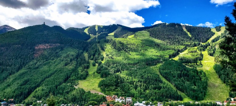
Thanks, Jud! Taking in the panoramic Jud Wiebe Memorial Trail, Telluride, CO

Elevation gain: 1,300 ft (From 8,750ft to 10,050ft)

Distance: 3.1 miles, loop (Note the 2 ends of the loop are about a half mile apart)

Difficulty: Moderate ++, depending upon your fitness level and altitude acclimation, most of the incline is packed into the 1st mile either way you go.

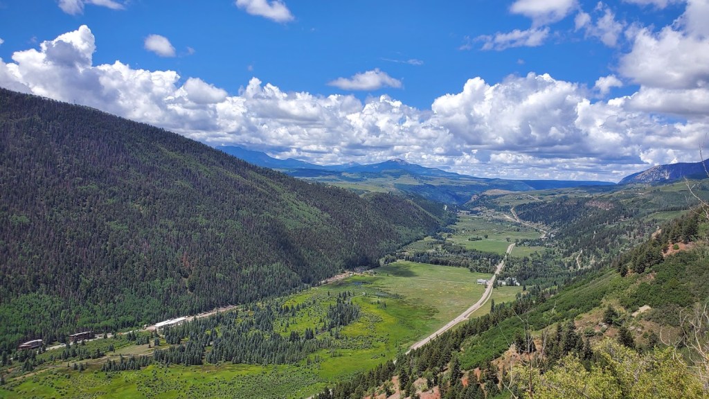
This wonderful panoramic trail was the vision of former Forest Service Recreation Manager Jud Wiebe and it is indeed a vision—from the panoramic view of Telluride below, the mountains beyond, the aspen groves, the foresty vibes, and the wildflowers sprinkled along the trail. You’ll be breathless from the beauty and the thin air.

Ps. There’s a short offshoot waterfall trail here that’s a must do too. Post coming soon.

Getting there:  S. Take UT-46 E, CO-90 E and CO-145 S to N Aspen St in Telluride

Happy Trails!

Heavenly Hematite Lake, Silverton, CO

Elevation gain:2,615

Mileage: 4 Roundtrip

Difficulty: Hard— steep climb in altitude 10k-12k+

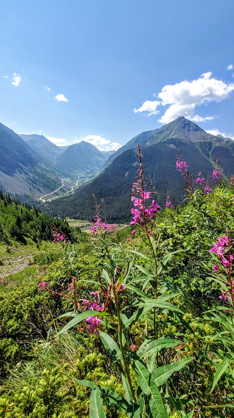
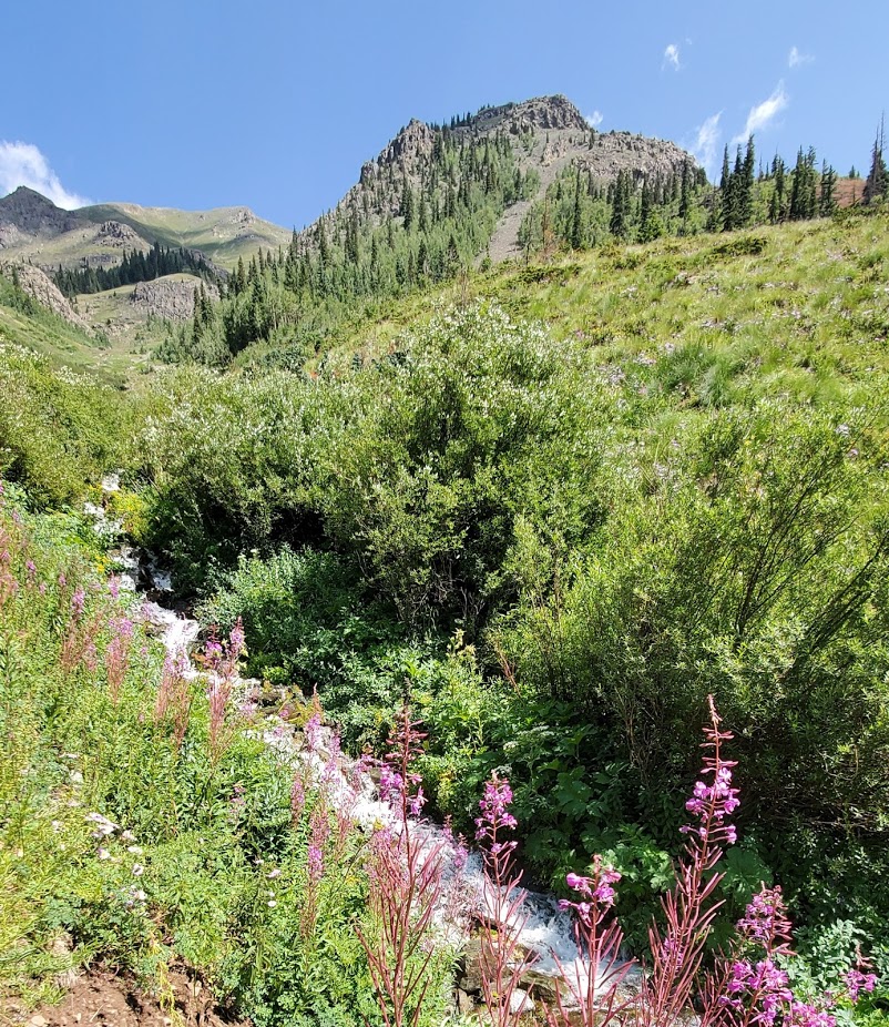
Hematite Lake, you had me at hello with your plentiful wildflowers, gurgling streams, and sparkling gem of a lake. So much quintessential Colorado beauty packed into this short, steep, sweet hike. I’ll let the pictures speak for themselves.

Note: The trail is single track consistent incline with few switchbacks; consider poles.

Getting there: US-550 S to Silverton, left on Co Rd 2305 ft, left on Greene St and right in CO Rd 2. The trailhead is 0.2mi before the bridge that crosses the Animas. The parking area is on the south side of the road, and the trail begins as two tracks that lead up a grassy hill. Soon it turns into single track and up and away you go. (There are trails beyond the lake to some mine shafts if you wish to explore further.)

Happy Trails!