Above Zion Via Ferrata—Local Adventure With Splendid Views!

Via ferrata translates to “iron way”. A via ferrata is a route along a mountain or cliff face consisting of steel safety cables alongside thin steel rungs that you climb like a ladder. Simpler than rock climbing and canyoneering, it makes it possible for people to traverse cliffs and mountains that would otherwise be inaccessible. You wear a harness with 2 clips that you hook and unhook to the cable (one at a time) as you go.

Via ferratas can be traced back to the mid-19th century (presumably when they used iron to construct them instead of steel). During the First World War, the Italian Army used them to get troops through otherwise untraversable portions of the Alps. Via ferratas have since become popular as a safer, simpler option to rock climbing that still affords adventure seekers a thrill and adrenaline rush.  (Especially if you’re scared of heights like me.)

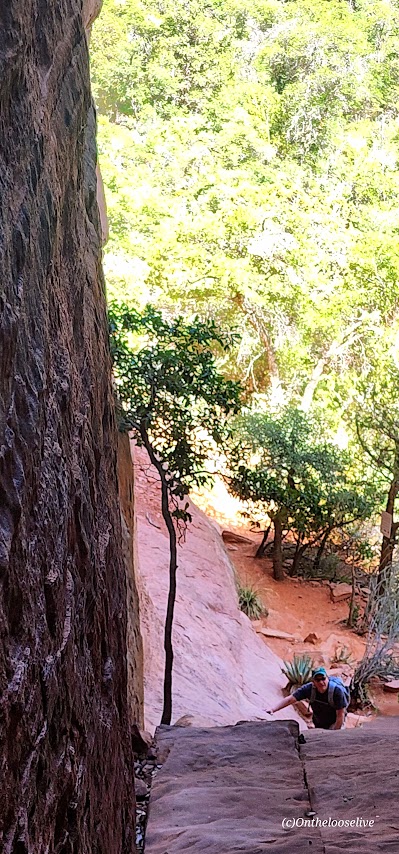
My boyfriend, Bernie, invited me to join him on this local via ferrata adventure. I hesitated for a second as videos of the dizzying and daunting via ferratas of Europe played in my head. But the appeal of Zion backcountry’s rarely seen, dramatic vistas “pushed me over the edge,” so to speak. Not to mention, I enjoy trying new things, getting out of my comfort zone, and challenging myself in new ways.

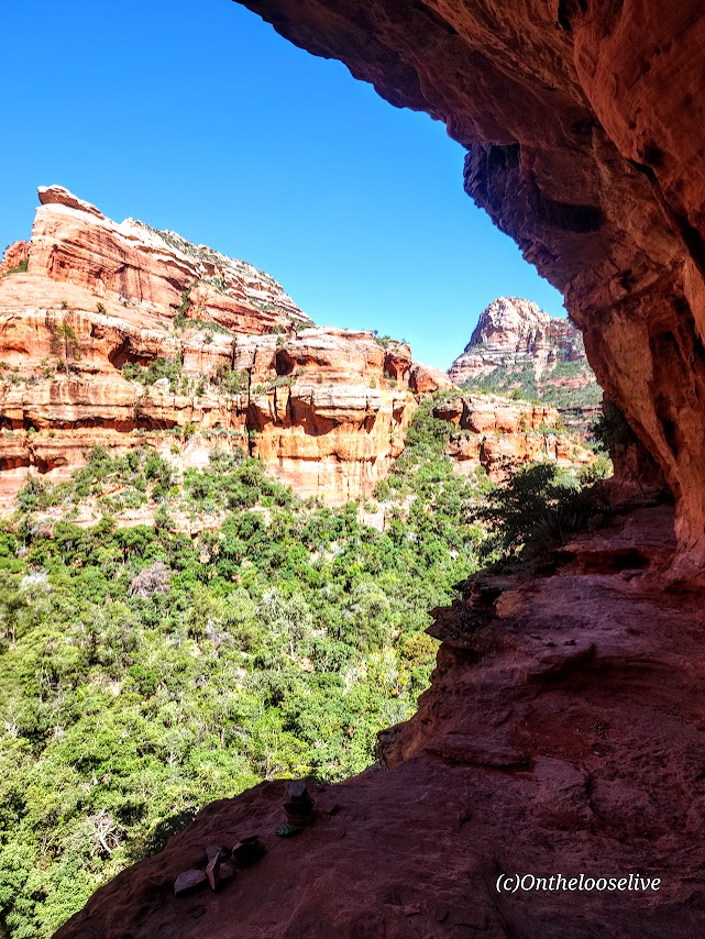
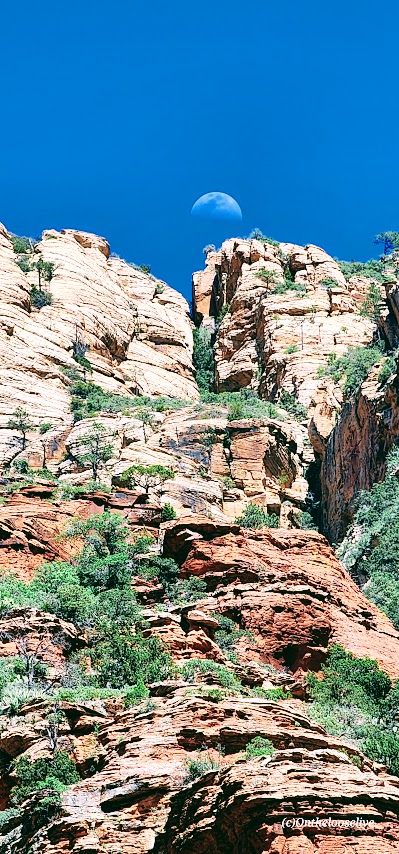
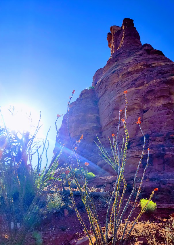
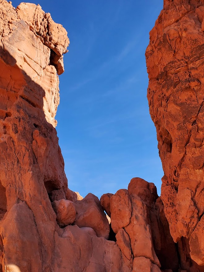
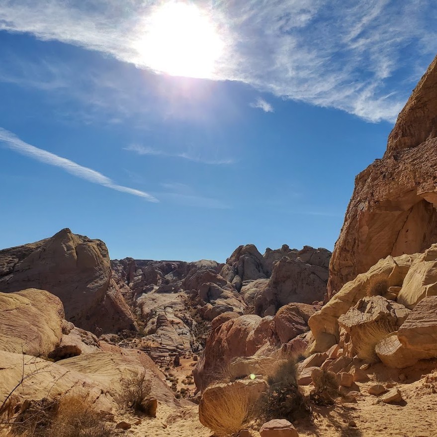
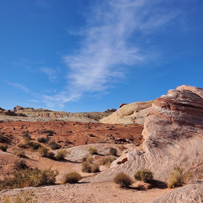
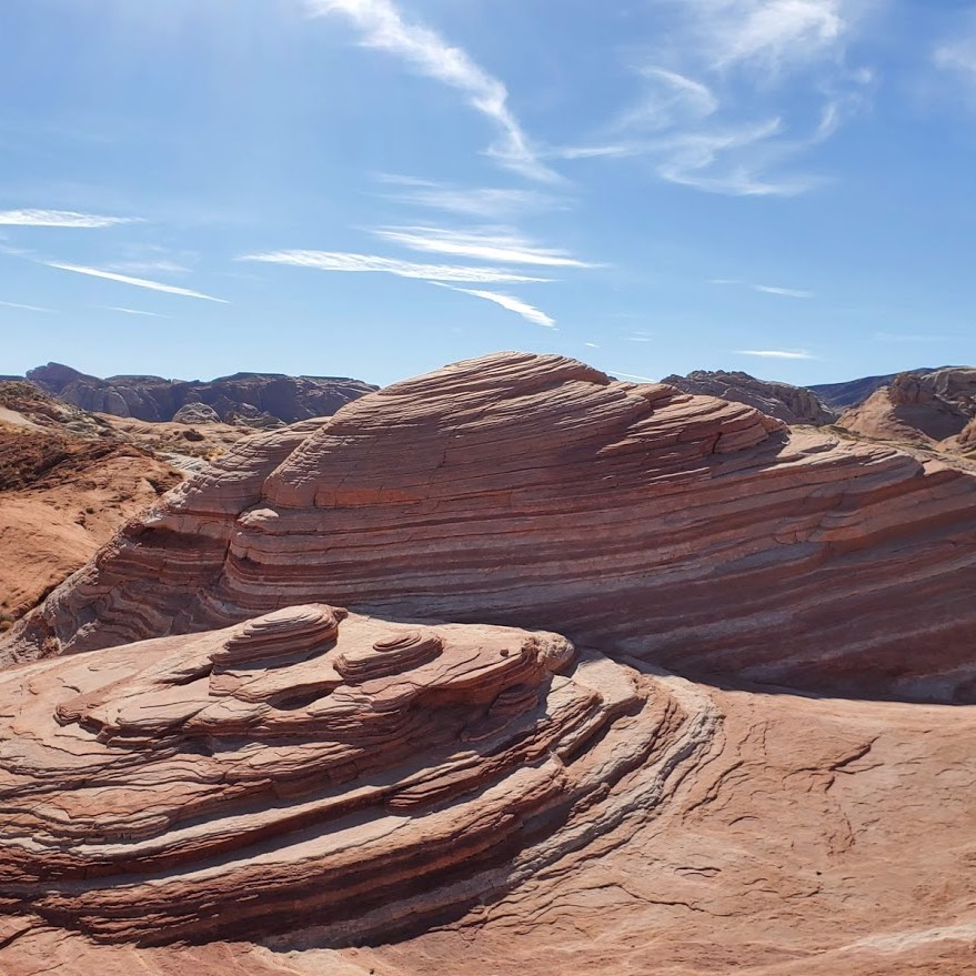
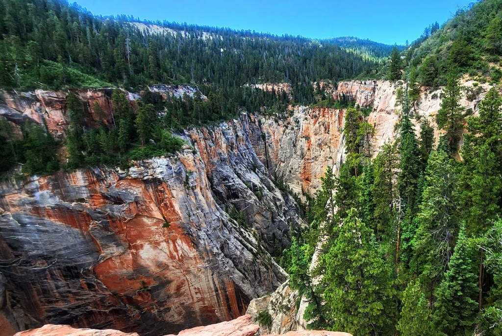
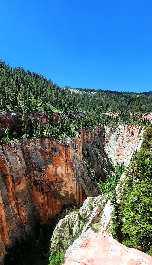
As it turns out, the Above Zion via Ferrata is quite tame. They’ve designed the course to be accessible for anyone “ages 8 to 80”. They equip you with the harnesses, clips, and helmets and a guide.Theoretically, if you can climb a ladder, you can handle it as long as your fear of heights doesn’t paralyze you. Views into this remote back canyon on the outskirts of Zion are splendid. The course is short, with 2 “exciting” sections and more trail walking than via Ferrata for a total of 2 miles roundtrip. A group ahead kept us waiting for them to finish at various junctures. The total moving time my Garmin recorded was 1 hour and 10 minutes. They describe it as a 4-hour adventure. (More like 2 hours at best, unless there are people in your group who really take it slow or freeze.) Sure, you can spend more time enjoying the views at the major lookout spots (as long as a group isn’t coming up behind you). There was a lovely waterfall in the distance, but we never got close enough for a good picture. I was hoping we’d go under it.

I’m sure good guides are hard to find, but… Ours was 20 minutes late and had a propensity to talk about himself. He missed one of the via ferrata sections and didn’t take us back to do it. At the end, he “slow walked” us on the trail and then forgot the combination to the gate while we waited in the side-by-side to get back to the starting point. (Actually, I got out and hiked up and was nearly there by the time they came by.) While he was nice enough to take pictures of us on his phone, he forget to send them.

Yep, that all happened. To be fair, it was the guide’s second day. Guess they are still working out the “kinks”. Cost was $130 per person to join a group. (We got lucky with a private experience.) Not the smoothest run operation, but it made for a fun morning, and a good introduction to via ferrata.

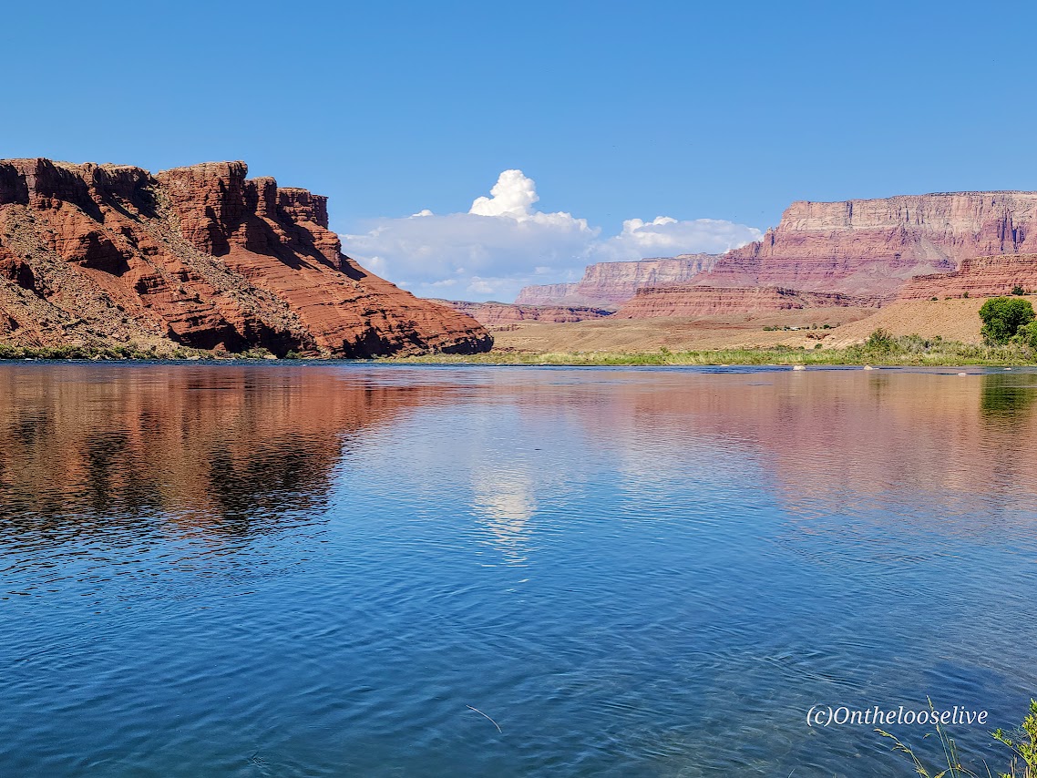
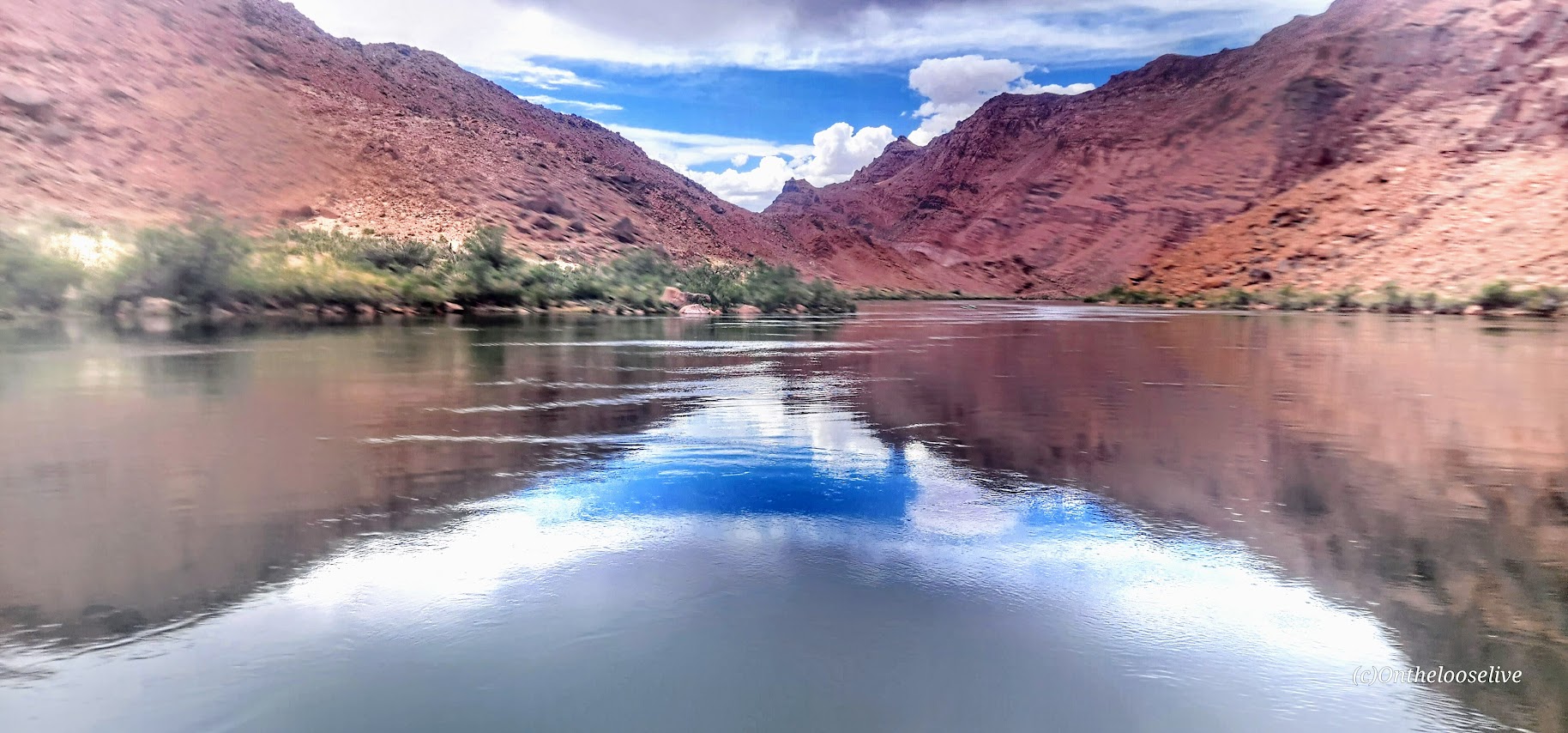
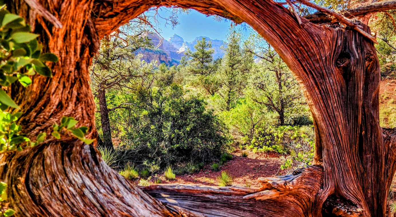
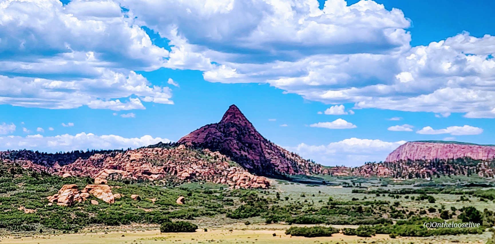
Kolob Canyon road views on the way are always nice too.

Happy Trails!

A Dreamy SUP Down the Colorado River

Dreaming of spending the day kayaking or SUPing down the cool glistening Colorado River with red rock canyons on either side? Perhaps sharing the adventure with friends and family, or soaking in the serene solitude and beauty with the ducks and herons along the way?

Captain Tim at kayakthecolorado.com can make your dreams come true and all for about $100 per person, including kayak, canoe, raft, inflatable, or SUP rental—less if you want to byo. He’ll pick you up at the dock at Lee’s Ferry and drop you off as far up the river as you like. The total run from Hoover Dam is 16 miles (overnight suggested) and 10 miles from Petroglyph Beach down. Our excursion was 11.5 miles. You can spend the day, or camp out for an overnighter or more. (Get in while the getting is good. Right now, no permits are needed to camp, but there’s a permitting system in the works.)  And yes, Tim is a Coast Guard Captain—required because the Colorado River’s fresh water meets salt water at the Gulf of California.

Whether you day trip it or overnight it, it’s an excellent way to immerse yourself in nature and cool off on a hot summer day. Granted there are tour pontoons, outfitter boats, and other kayakers in the mix; even so, there are moments of bliss when it’s just you, the river, the canyon walls, and the reflections on the glassy green surface. I’m guessing if you’re an early bird or prefer off-season (Sept & Oct), you’ll have more solitude and smooth water. There are options to check out petroglyphs, hike, and make use of the pit toilets, if needed, along the way. Please Leave No Trace on the petroglyphs, on the land, or in the river.

Important safety note, storms often come through in the afternoon (another reason to get an early start)—be prepared to wait out the storm. Be safe–keep your life jackets on and keep your dream from turning into a nightmare. The water is about 50 degrees so hypothermia can be a danger as can dehydration and heat stroke.

A quick squall hit us. The wind made it impossible for me to remain standing on my SUP and it was so strong, it pushed me upriver. It’s best to take shelter in a cove and if it’s lightning, get off the water immediately. Unfortunately, I wasn’t near a cove when it hit and had to hold tight to reeds and branches with one hand and my SUP, which was trying to take flight, with the other. The water went from smooth to super choppy, 2ft whitewater waves in a second.

Luckily, the storm cleared nearly as fast as it came.

If you need a rescue, you can flag one of the outfitter boats that are going up and down the river. While it’s easier to handle rough conditions in a kayak than a SUP, I will probably still take a SUP next time. Personally, I prefer the experience and the workout to a kayak.

This adventure was especially cool for us as it would be for anyone who has been up at the Horseshoe Bend and looked down in envy at the kayakers below. As they say, I’ve looked at it from both sides now—both views are 100% worth it.

Happy Paddles!

Boynton Trail to the Iconic Subway/Keyhole, Sedona, AZ

Distance: ~5.3 miles

Elevation gain: ~800 Ft

Difficulty: Easy, except for finding the unmarked trail to the Subway/Keyhole. Finders and seekers are left to their own devices. It’s all part of the adventure. The Subway/keyhole reminded me of St. George’s Scout’s Cave with a nice woodsy approach and a bigger scramble at the end.

An auspicious start to our road trip from St. George—condor sightings at Navajo Bridge. Apparently this is their hangout. A nearby photographer remarked that you can see as many as 60 in the winter. They have numbered tags on them and you can look up their “deets” online.

Back near the trailhead, there’s an option to climb up to a viewpoint. It was worth it. Our timing was good for cactus blooms, especially the ocotillo. The moon made a cameo appearance to add star power to the already dazzling scenery.

Stay tunned for more fun in Sedona and beyond!

Ps. Pro tip/ Captain Obvious tip: Avoid weekends and holidays, especially, holiday weekends) in Sedona. Traffic is HORRENDOUS. (Understatement: 35 minutes or worse to go 5 miles.)

Happy Trails!

Luke Warm on Valley of Fire State Park, Overton, Nevada

Why luke warm? I’ve seen some spectacular photos of Valley of Fire on social media–sometimes it’s hard for real life to live up to the hype—even in nature. The day I was there the light was not magnificent and the place was overrun with humans. The park’s close proximity to Las Vegas (55 miles) makes it an easy road trip for many (too many). (Granted, I made the rookie mistake of going on a weekend.)  Also, I was disappointed by the hikes—the majority were short—just park and walk a mile or so on heavily stomped paths. Basically, you can see most of the park without much effort, which is great for families and those who can’t or don’t like to walk far.

I covered 7 of the hikes/ attractions in a half day. There were a couple of longer hikes that interested me, but 1 had signs warning about the trail not being marked, and the other 2 were slogs through deep sand. Since I was solo, I opted out of the poorly marked hike, not wanting to become another hiker lost, wandering in the desert…

Elephant Rock Loop (1.25 Miles) At the East Entrance of the park, Elephant Rock can be seen from your car. Like me, you may opt to stretch your legs and take a hike here. (Note half of the hike runs parallel with the road with the road visible so it’s a tad anticlimactic.)

Clark Memorial and [Charlie’s Spring (4.6 Miles RT, Natural Arches Trail] The Clark Memorial commemorates Sargent John J. Clark, a pioneer traveling cross-country who died of dehydration at the spot. There are 2 trailheads for longer hikes on the right side of the road. Both invite you to slog for miles through deep sand in either direction for negligible rewards. (The sign at the beginning of the Arch trail notes that the arch has crumbled and Charlie’s Spring starts with a tunnel under the road and offers a spring at the end…) While I wanted to a longer hike, I wasn’t enticed by the prospect of slogging through deep sand. Perhaps after a rain if the sand firms up instead of muds up?  I went a half mile on through the tunnel into the wash on the Charlie’s Spring hike before I opted out.

Petrified Logs and historic CCC cabins Another roadside stop, this attraction features logs from an ancient forest of 225 million years ago. You can keep driving another ½ mile or so, or hike from the petrified log site to the historic native sandstone cabins built by the Civilian Conservation Corps in 1930s to provide shelter to travelers.

White Domes (1.36 miles) This was the most scenic of the hikes that I did. Several western movies were filmed here. There are arches, cool rock formations, and even a slot canyon to discover here.

Fire Wave (1.74 miles) This rock formation is most likely one of the most popular in the park. Since I’m accustomed to seeing this type of formation where I live, I was underwhelmed by the sight and overwhelmed by the crowd.

Rainbow Vista (1 mile) Single track stroll to a colorful rock overlook.

Mouse’s Tank (.78 Mile) This interesting little trail takes you to some of the best petroglyphs I’ve seen.

Don’t get me wrong, there’s plenty of breathtaking sights to see and lots of variety in the half dozen short hikes I mentioned, and more if you venture beyond. I’m just spoilt-rotten because but I happen to live within a couple miles of a similar stunning destination—Snow Canyon State Park, St. George. ( See Scout’s Cave, one of my favorite hikes.) Personally, I won’t go out of my way to return, but if it’s on your way—go for it.