


Happy Trails!


Miles: ~7, options for additional explorations along the way in Gower Gulch, Gold Canyon, and Red Cathedral. You can also take the shorter, easier Badlands Loop (2.5 miles) for a quick immersion. If you’re not up for a hike, you can take the ¼ mile walk up a hill on a paved path to the lookout.
Elevation gain: 827 ft
Difficulty: Easy to moderate, depending on your fitness level. The trail is “runnable” when crowds are light.
Rated # 3 top hike in Death Valley National Park.
Among the most photographed spots in Death Valley National Park, Zabriskie Point boasts expansive views of yellow and brown striped hills, the badlands and salt flats beyond, and the Eastern Sierras in the far distance. Great for sunrise and sunset pics! I got there just before sunset so made it a fast zoom around. I’ve explored Golden Gulch before that’s worth it too!


The dance of light and shadow on the stark dramatic landscape is compelling in color and black and white. It’s obvious why this area was one of Ansel Adam’s favorite photography playgrounds.

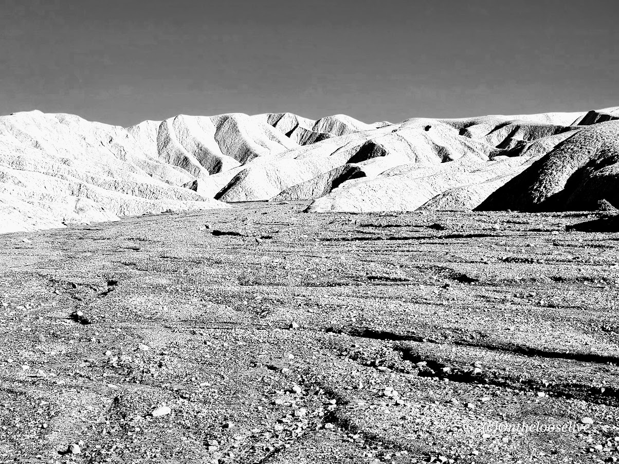
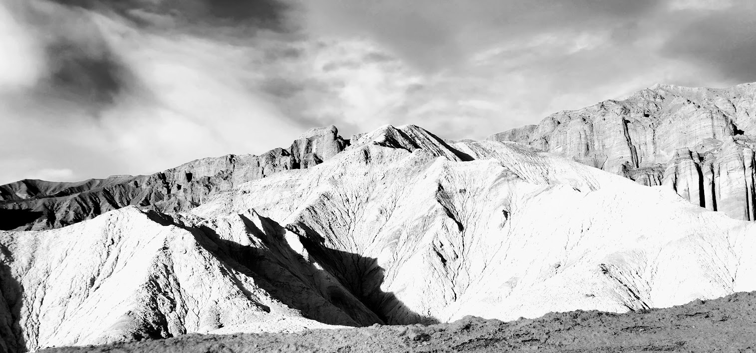


If you look closely at the picture on the right above, you can see the trail tracing its way up to the ridge.
Fun Fact: Death Valley is the hottest place on earth and the lowest, driest place in North America.
Getting there: The Zabriskie Point lookout and trailhead parking lot for both Badlands and the Zabriskie loop is a 15-minute drive East on Highway 190 from Furnace Creek Visitor Center.
Happy Trails!


Day 2 was one of my favorite days on my Cuba cycling adventure: a tranquil coastal ride, a swim in turquoise waters, a tour of Matanzas art district and historical square, and a modern art luncheon experience, followed by beach time and a decadent lobster feast back in Varadero.
In the quiet of the morning, a white heron took flight as we rode by a lush green wetland area. The many shades of the shimmering turquoise sea were mesmerizing. Lucky me, I had the opportunity to immerse myself in the tropical sea at a secluded cove while we waited for the rest of the group to catch up.


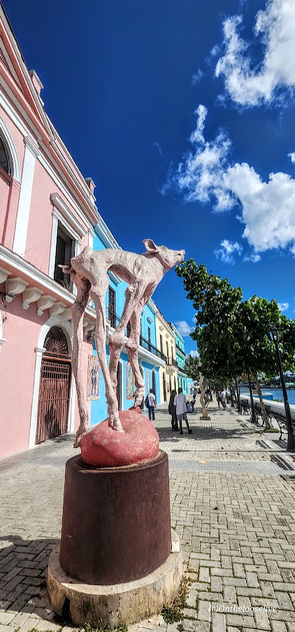
Back on the bikes, we rode along the beautiful beach esplanade, discovering one magnificent sculpture after another. It was a perfect prelude into the art-filled, picturesque town of Matanzas (known as the Venice of Cuba or City of Bridges).


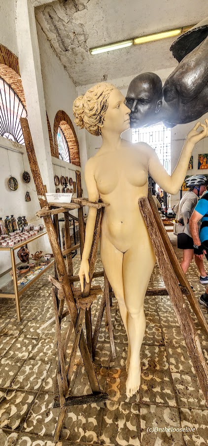
In Matanzas, we enjoyed a casual stroll along the canal way that was lined with more sculptures, tile art, frescoes, galleries, and restaurants.
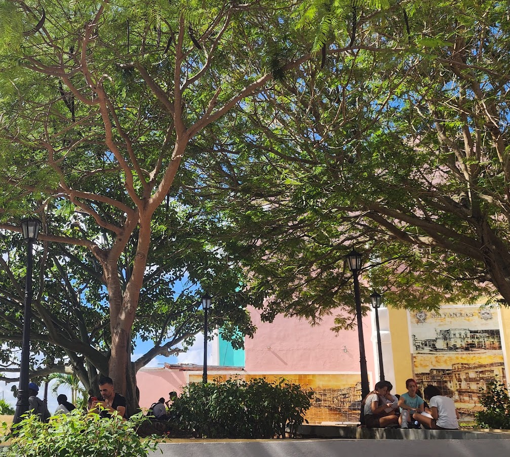
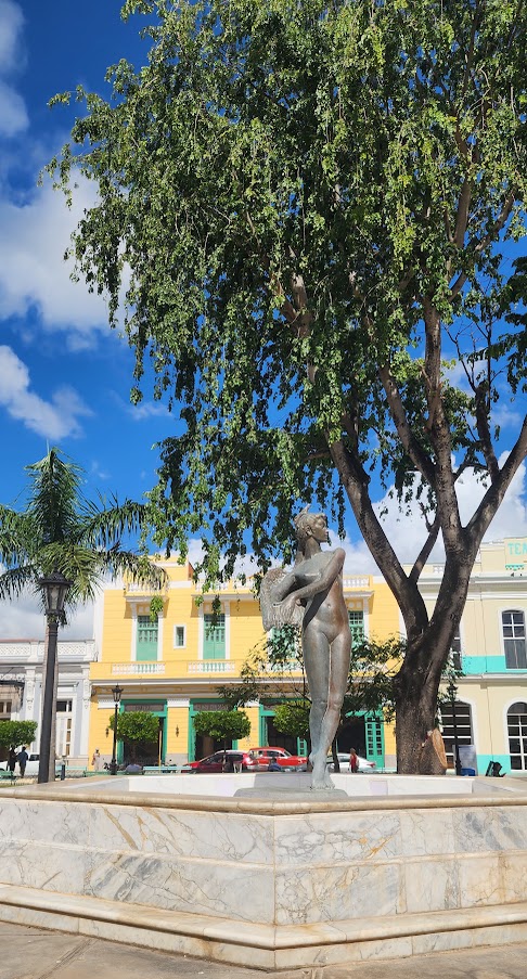
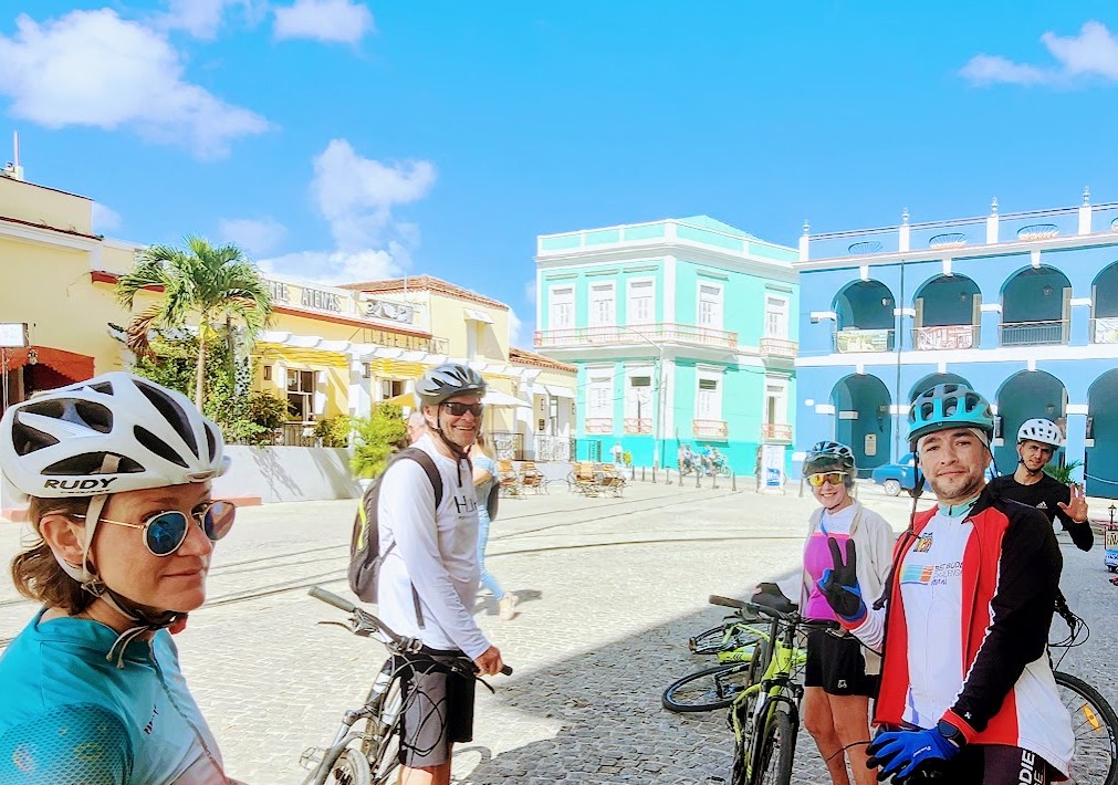
Next, we explored the charming town square.
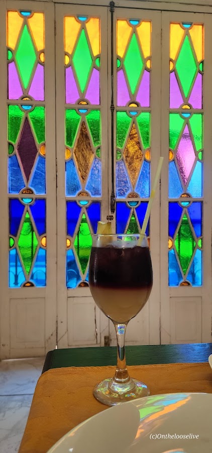
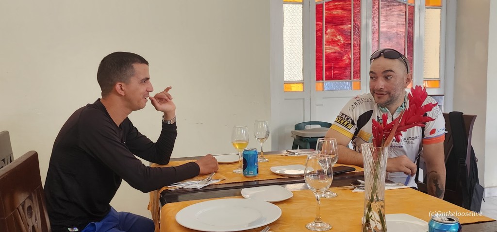
It was lunchtime next, and we dined in fine style—indulging in the local flavors and feasting our eyes on more colorful art and stained glass windows.
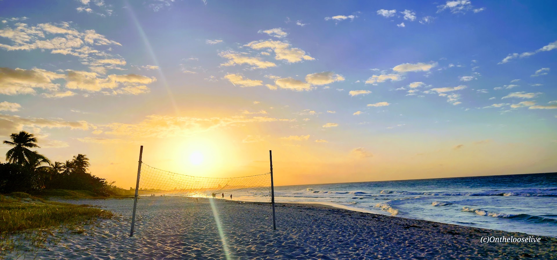
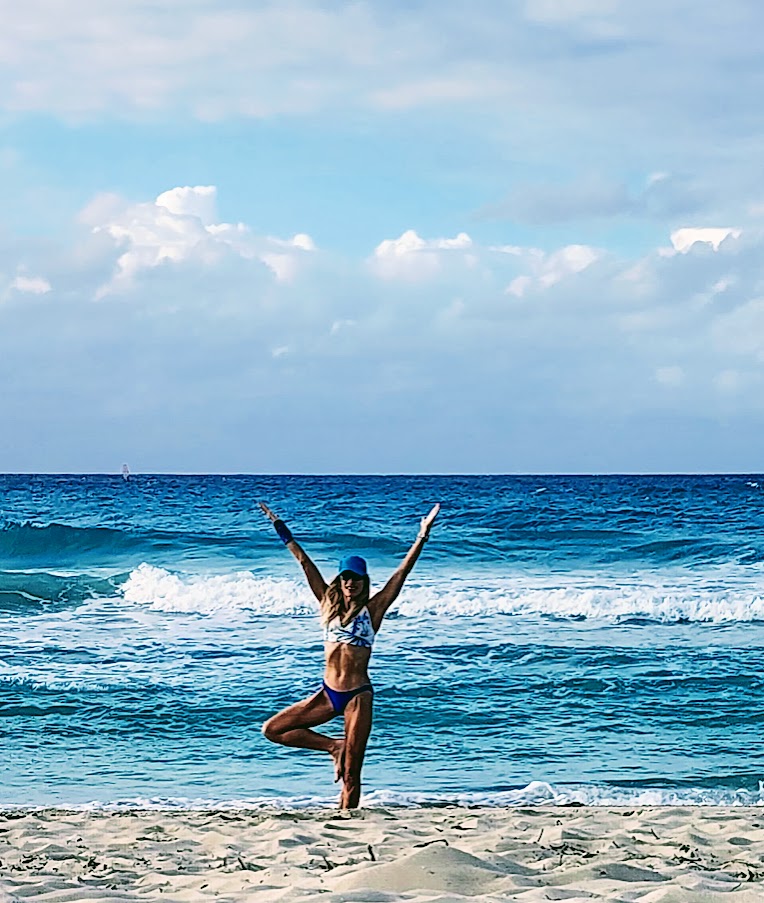
Upon return to Varadero, we enjoyed some beach time followed by another decadent lobster feast for me.


And so another amazing day with Cuban Adventures and my new friend, Vanessa, came to an end. Fortunately, the tour was just beginning! Stay tuned for the next postcard.
Happy Adventure Travels! Salud!

[Feature Photo Credit: Kirk Hamilton]
On Day 1, we took a short, easy bike cruise through the neighborhoods of Vedado, Nuevo Vedado, and Miramar. So many sights to see. We packed in as much as we could, including the gorgeous architecture, the embassy district, historical monuments, a forest oasis, ancient town squares, and so much more. I apologize in advance for the poor photo quality—all were taken on the fly, but hopefully, they will still give you a good feel for the spirit of Havana.
All along the way, we saw art flourishing everywhere from sculptures to colorful building tiles and whimsical street art. Interesting that a communist country would have so much exuberant individual expression.
Plaza de la Revolución / Revolution Square
Part of the wave of architectural and infrastructure works carried out by the Batista government, this square features a monument to Jose Marti, and steel memorials to the two most important deceased heroes of the Cuban revolution Che Guevara (Fidel’s right-hand revolutionary man, until he wasn’t) with the quotation “Hasta la Victoria Siempre” (Ever Onward to Victory) and Camilo Cienfugus(Fidel’s left-hand revolutionary man, until he wasn’t), with the quotation “Vas bien, Fidel” (You’re doing fine, Fidel).
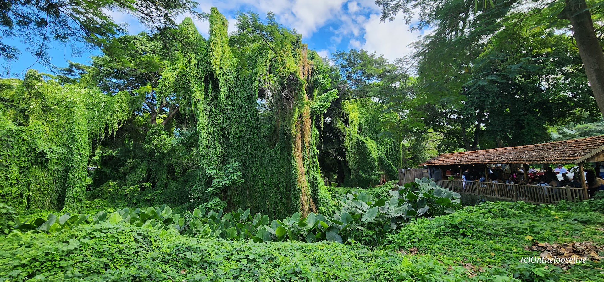
Havana Forest
What a wonderful surprise to come around a suburban corner, cross a bridge over the Almendares River, and suddenly be enveloped by the lush green canopy of the Havana Forest, a protected tropical oasis between the municipalities of Plaza and Playa.

Hotel Nacional
A couple of us stopped at the Hotel Nacional for some refreshments. Built in 1930, the Hotel Nacional is a national monument and part of UNESCO’s Cuban National Memory.
Strolling with the peacocks and other tourists through the lovely grounds, enjoying the expansive view of the Malecon and the shimmering seas, you’d never guess this grand hotel’s dark and bloody history.


October 2-3, 1933, The Battle of the Hotel Nacional of Cuba
A bloody siege known as the Battle of the Hotel Nacional of Cuba was led by Sergeant Fulgencio Batista against the previously high-ranking military officers who were regrouping in the hotel. During the battle, thirty Batista soldiers were killed on the grounds, as were 2 of the high-ranking officials during the battle. Batista’s soldiers subsequently killed the remaining high-ranking officials from the previous government.
1946 Havana Conference Did you know that from the beginning of the 20th century until the Revolution in 1959, Havana was known as the playground of US Mafia bosses? (I didn’t.) From the 1940s, Mobsters made the Hotel Nacional their home away from home as they built their casinos and hotels and conducted their “business” in Cuba. Arranged by Charles “Lucky” Luciano, the hotel hosted the infamous Havana Conference in 1946. The US Mafia and the Sicilian Cosa Nostra leaders met to discuss their “business interests” in Cuba and around the world.
If you’re getting the impression that Cuba’s history was tumultuous, you’d be spot on. Watch the eye-opening Cuba Libra series on Netflix to learn more about Cuba’s history (and America’s questionable and controversial involvement).
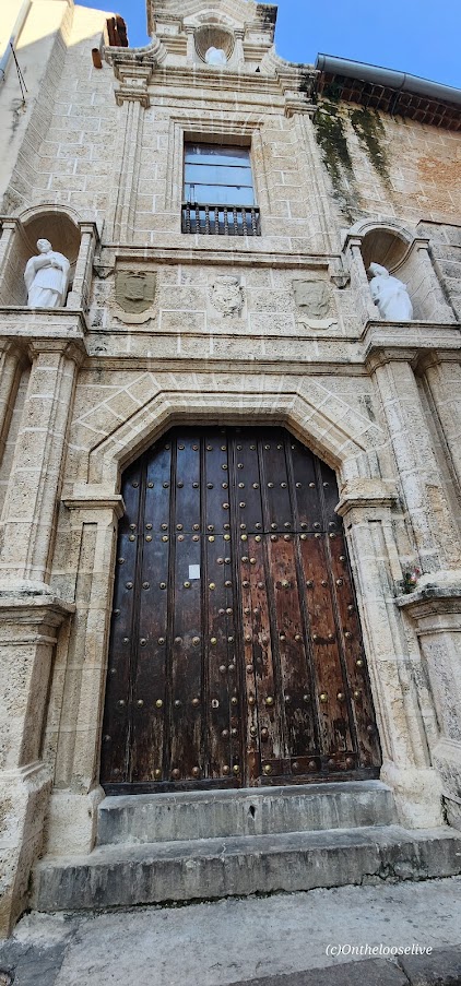
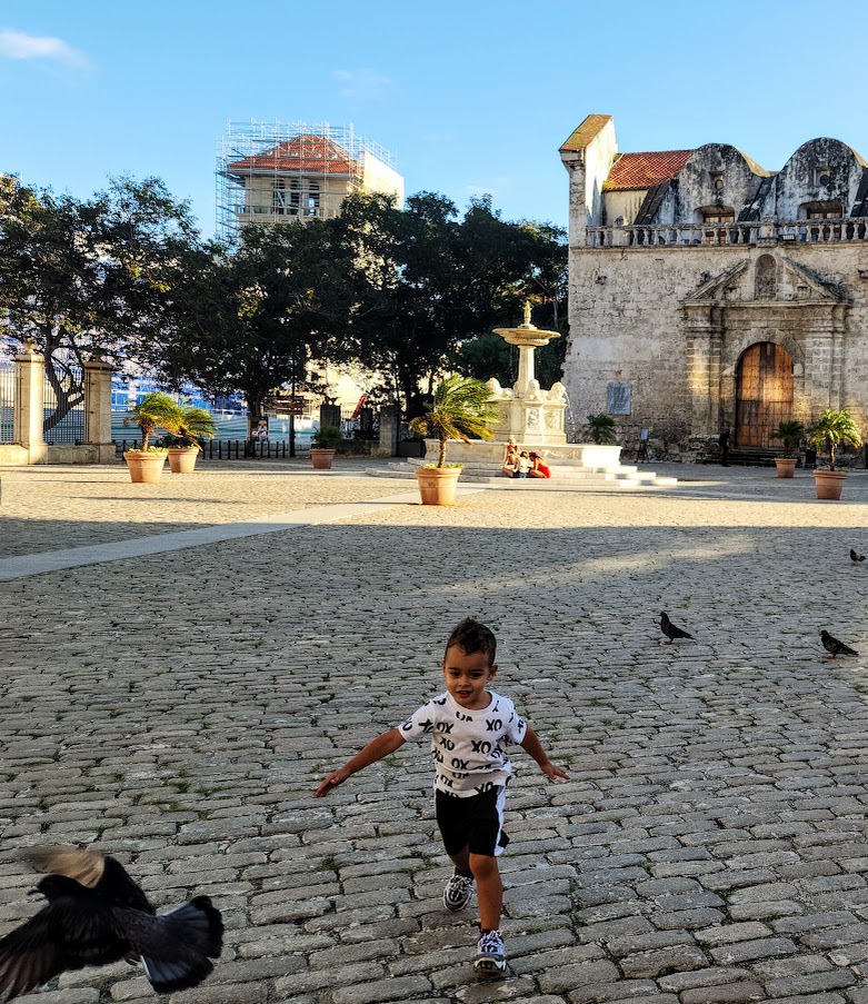
In the afternoon, we enjoyed a walking tour exploring 4 of Havana’s 5 colonial city squares/centers—a must-do. Bustling with tourists and locals alike, you can immerse yourself in the history as you explore the cafés, restaurants, and galleries and admire artisans’ wares to the spicy soundtrack of street musicians.
Plaza Vieja, located in the central part of the Old Havana district, is a UNESCO World Heritage Site. It was first built in 1559 and boasts gorgeous buildings dating back to the 17th, 18th, and 19th centuries.
Plaza de la Catedral The Catedral de la Havana was built in the 18th century. One of 11 Catholic cathedrals in Cuba, it is best known for housing Christopher Columbus’ remains until the end of the 19th century, when they were moved to Seville.
Plaza de Armas is the oldest and largest square in Old Havana.
Plaza de San Francisco de Asis was the colonial center back in the 16th century. It was fully restored during the 1990s.
The food did not disappoint (understatement). Breakfast fruits. Lunch was the traditional dish of Ropa Vieja, shredded meat cooked with onions, peppers, olives, tomato sauce, and spices like cumin and oregano. For dinner, I indulged in a grilled lobster. All were delicious, especially the lobster – what a treat (that I would have to repeat, threepeat, and I confess too much)!


After taking in as many sights as we could, it was time to hop on the bus with our bikes and head to our next destination, the beach resort town of Varadero. To be continued…
Happy adventure traveling!


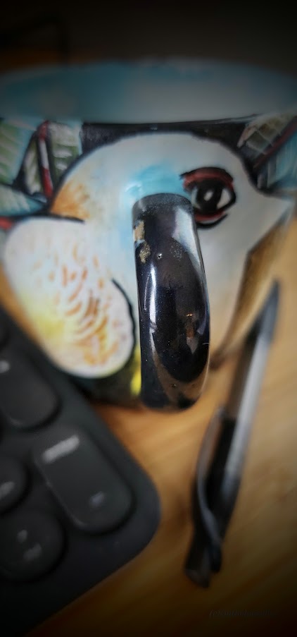
A yellow-breasted bird shines bright against emerald rainforest leaves, returning my gaze from the hand-painted coffee cup I bought from an artist in Cuba. As I sip my coffee, memories of my cycling adventure spin in my mind’s eye, a dazzling kaleidoscope of indelible impressions.
I was completely unplugged from the outside world for 7 days (my choice), which allowed me to immerse myself completely in every waking moment as we cycled off the beaten path and pedaled to the rhythm of Cuba’s heartbeat.
The sights—stone fortresses, historical monuments and statues, charming town squares, gorgeous architecture, and the art—everywhere— paintings, sculptures, street tiles, street art. The vibrant colors wrapped in the Caribbean island’s tremendous natural beauty— picturesque bays, verdant mountain ranges with hidden tropical waterfalls and cenotes, and sugar white sand beaches enticing you into the sparkling turquoise sea.
The sounds—the medley of sax, bass, drums, and guitar in the parks, at cafes, restaurants, and bars, the constant clip-clop of horses’ hooves, the rev of mopeds, the persistent punctuation of horns like exuberant exclamation marks to the improvised salsa music. And the contrasting silence of the countryside and the mountains, broken only by a bird call, the whisper of the wind through the trees, the rush of a waterfall, the gurgle of a stream.
The flavors—From sweet to savory and everywhere in between– fresh fruits and juices daily (mini-bananas, pineapple, guava), refreshing post-ride libations like Mojitos and Caipirinhas, and creamy Pina Coladas, delicious entrees like freshly grilled lobsters (my fav), fresh fish, and traditional, hearty dishes like Rope Vieja, beans and rice, pork in very variety (rips, chops, and morsels), crispy snacks of garlic and oil plantains. I know! Are you salivating yet?
The places: Old Havana, the seaside resort town of Varadero, Matanzas known as the “Venice of Cuba,” Santa Clara, home of the Che Guevara Museum and Memorial, the “colonial jewel” of Trinidad, Cienfuegos “The Pearl of the South,” and the infamous Bay of Pigs.
The people: A great group of people from our knowledgeable and personable Cuban Adventure’s guide Rayner, Alejandro our attentive bike mechanic and speedy rescue cyclist (story later-maybe), and “Manbey,” our bus driver who might be better nicknamed MacGyver to the 2 well-traveled couples from Canada (Mike and Jan, Kirk and Heather), my smart and fun roommate Vanessa from Denver, our casa hosts, and those we encountered along our journey, including 2 crazy old German gents who were solo cycling the entire island and kept popping up much to our surprise (we biked and bussed– they were cycling 100%).
The insights—into the history, politics, culture, and spirit and some of the mindsets of the Cuban people.
Hands down, this was one of the best adventure travel trips I’ve taken for many reasons. Hopefully, some of those reasons are already apparent. It was a spontaneous decision (like most of mine) made just 2-weeks before departure—everything lined up perfectly. With low to no expectations, the entire experience blew me away—outstanding, fantastic, fabulous!
In the following days/weeks, I’ll share some highlights and attempt to capture the experience here in this postcard series. The best part is that I get to relive it allas I go.
Arrival
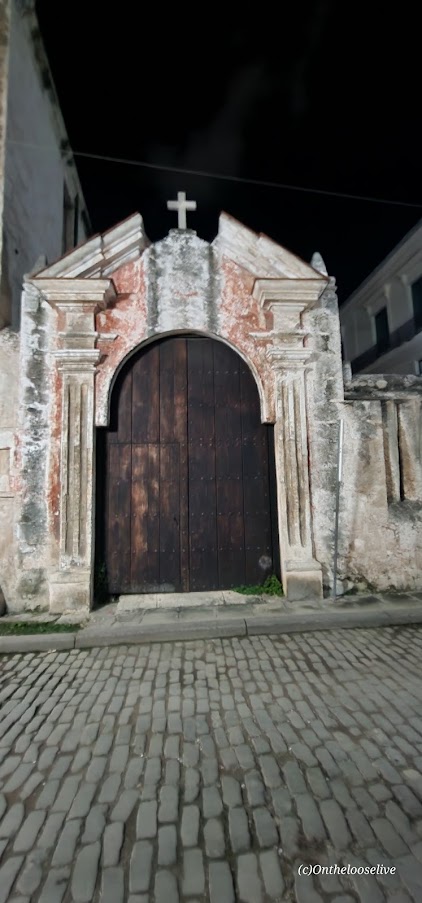
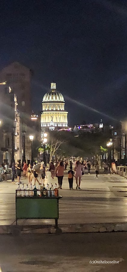
Walking through Jose Marti Airport’s exit doors into the warm tropical night was like arriving through a time portal into the past. From the backseat of the taxi, I was mesmerized by the blur of classic cars and horse-drawn carriages—racing side-by-side towards Old Havana. (Since the Cuban revolution (1953-1959), when Batista was driven out and Fidel Castro took power, there has been a ban on cars and other imports from America. Not to mention the difficulty of getting gas imports.) Here are a few scenes from my first night in Havana. I know the pictures are a bit blurry, and so was I after a long day of travels. I promise they’ll get better.


It was lights out after a quick nightcap and bite in Old Havana with my new roommate, Vanessa.
Throughout this postcard series, I’ll sprinkle in miscellaneous history, interesting facts, and some sobering statistics.
Jose Marti is the Cuban poet and philosopher who led the fight against the Spanish for Cuba’s Independence
~60,000 classic cars in Cuba (~50% from the 1950’s, ~25% from the 1940’s, ~25% from the 1930’s)
Only ~2% of Cubans own cars
Average monthly income range for 55% of the population is $50-$234, $600-$2,808 annually.
(https://www.statista.com/statistics/1376640/average-income-households-cuba/)
51% of Cubans report not having enough $ (https://www.statista.com/statistics/1376640/average-income-households-cuba/)
Free healthcare and education
I highly recommend putting Cuba on your “to-do” list whether you “do it” on a bike or otherwise. Here’s a direct link: Cuba Travel Services | Cuban Adventures (cubagrouptour.com) and a 10% off code to use: YUMAFRIENDS.
Happy Adventure Travels!
Adventures Near & Far, St. George Yoga & Hike Retreats, Popup Yoga, Local Guiding
the blog of Seldom Seen Photography
The more we travel the bigger the world gets
Engaging audiences and delivering results
Adventures Near & Far, St. George Yoga & Hike Retreats, Popup Yoga, Local Guiding
Travel. Climbing. Characters. True stories, well told.
memoir, poetry, screenplay, commentary
Photoblog of Joshi Daniel
Adventures Near & Far, St. George Yoga & Hike Retreats, Popup Yoga, Local Guiding
Adventures Near & Far, St. George Yoga & Hike Retreats, Popup Yoga, Local Guiding
Live vigorously! (Not vicariously.)