
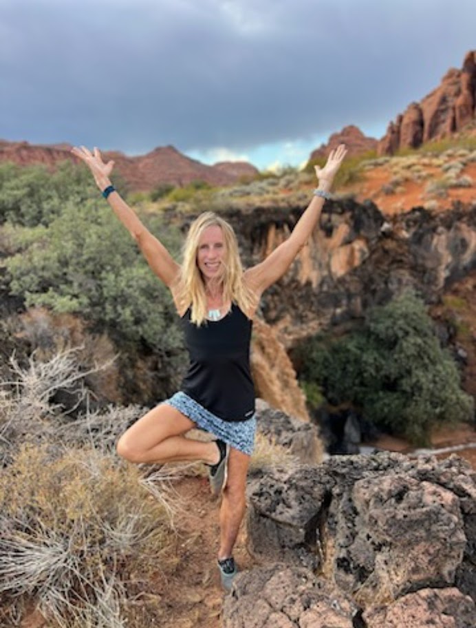
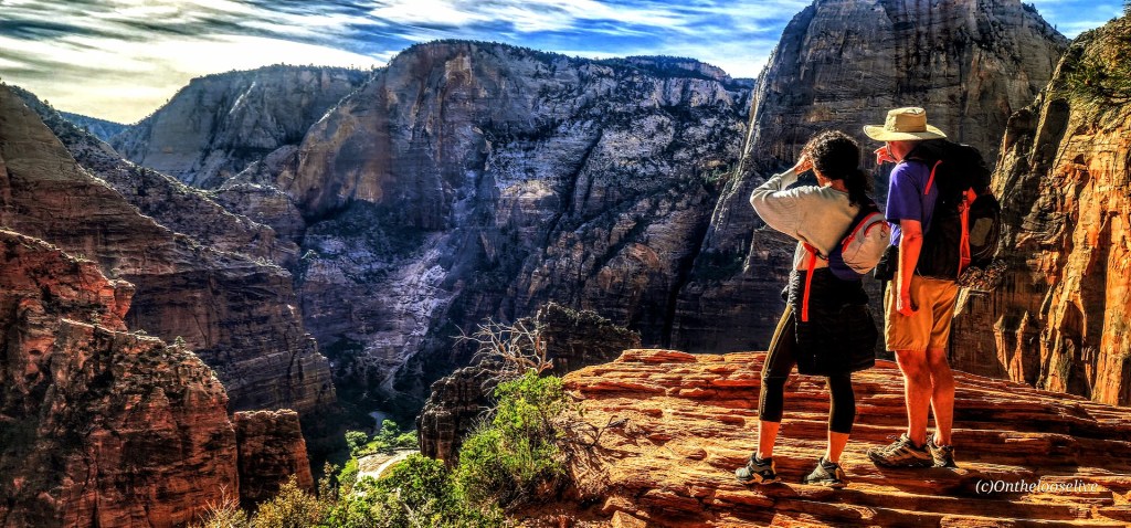
Welcome to a transformative escape where yoga bliss meets the thrill of hiking in the stunning greater Zion area. I’m passionate about blending my love for yoga, fitness, and the great outdoors to create an unforgettable experience just for you. Whether you’re a first-time or long-time yogi, a novice or seasoned hiker, a competitive athlete, someone who wants to kick start their fitness, or simply someone who wants to kick back, see the local beauty and enjoy some laidback nature immersion, I would love to be your host.
Personalized Yoga, Hike, & Fitness Retreats
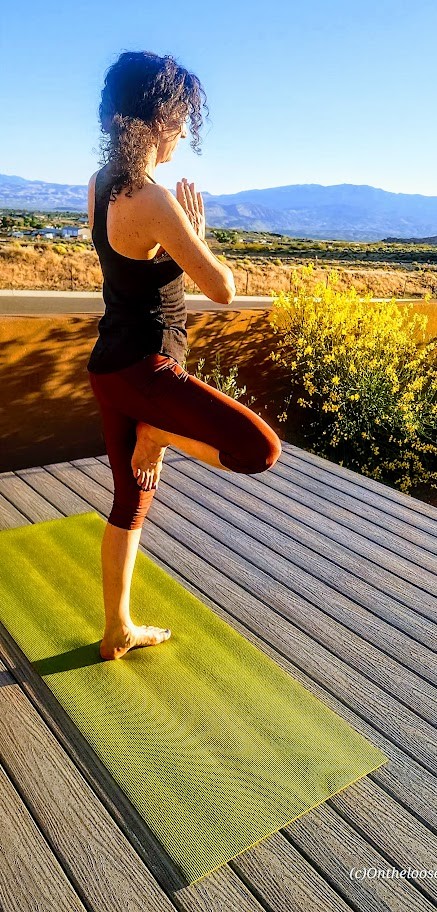
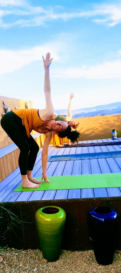
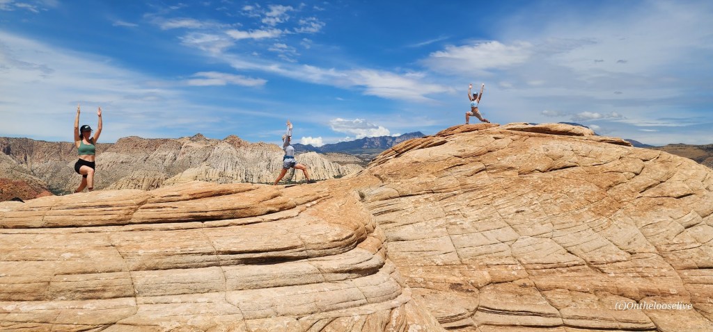
- Enjoy private or semi-private personalized yoga (Vinyasa, Yin, Restorative-ALL levels and ages)
- Enrich your experience with options like sound baths, massage, dream journaling/ creative writing, wine tasting, night sky viewing with an astronomer, personal training sessions, golf, and more!
- Elevate your heart rate with options like canyoneering, rock climbing, open-water swimming, stand-up paddling & yoga, kayaking, and more!
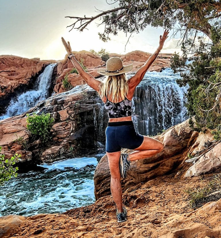
Popup Sunrise & Sunset Yoga
- Join us for private or semi-private sunrise or sunset flows, or unwind with restorative night yoga.
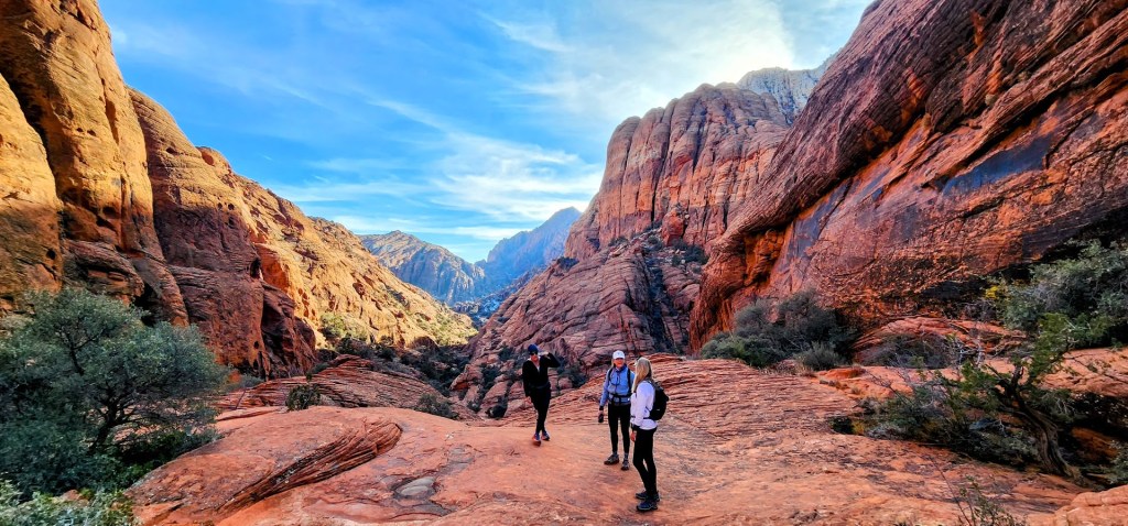
Local Hike Guiding
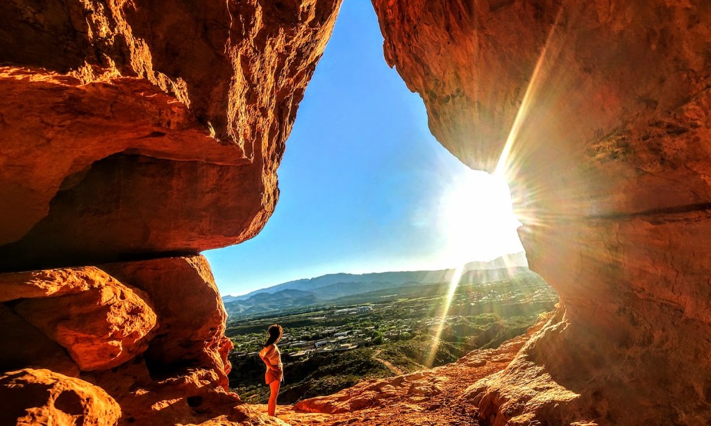
- Discover hidden gems like petroglyphs, slot canyons, caves, and waterfalls!
Backcountry Adventures for Seasoned Hikers
- Explore the wilder side of Utah with an experienced backcountry guide.
Tailored Itineraries
- Make the most of your time in this amazing area with an itinerary customized to your interests.
Local Insights
Get the insider’s scoop on the best local restaurants and unique experiences.
Contact me to create your blissful escape into the wild, ravishing Southwest! (If you’d like to explore my adventures near and far, the easiest way to navigate the site is to go to the browse option on the right and pick your category of interest.)


Offering a plethora of diverse, nearby hiking adventures for hikers of all fitness levels and interests (petroglyphs, caves, waterfalls, peaks, etc). Excursions to Zion can also be arranged, but backcountry beauty, solitude, and bliss can be found within a couple-mile radius of my home.


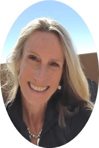
About Me
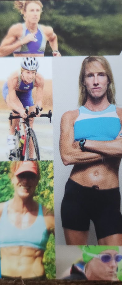
Yoga Instructor since 2020 (200 Hour YTT Certified, Yin and Restorative Yoga Certified. Registered with Yoga Alliance.)
Certified Personal Trainer since 1998 & Certified Yoga Coach (International Sports Sciences Association)
Endurance Athlete since 1990
Health & Fitness Writer and Educator
Creative Writing Instructor (MFA) & Journaling Facilitator
Read what yogis and hikers are saying about their Onthelooselive experiences
